Rutland is a town in Rutland County, Vermont, United States. As of the 2020 census, the population was 3,924. Rutland Town completely surrounds Rutland City, which is a separate municipality. The villages of the town effectively comprise the inner suburbs of Rutland City.
| Name: | Rutland city |
|---|---|
| LSAD Code: | 25 |
| LSAD Description: | city (suffix) |
| State: | Vermont |
| County: | Rutland County |
| Elevation: | 540.0 ft (164.6 m) |
| Total Area: | 19.3 sq mi (50.0 km²) |
| Land Area: | 19.2 sq mi (49.7 km²) |
| Water Area: | 0.1 sq mi (0.3 km²) |
| Total Population: | 3,924 |
| Population Density: | 200/sq mi (78/km²) |
| ZIP code: | 05701 |
| Area code: | 802 |
| FIPS code: | 5061225 |
Online Interactive Map
Click on ![]() to view map in "full screen" mode.
to view map in "full screen" mode.
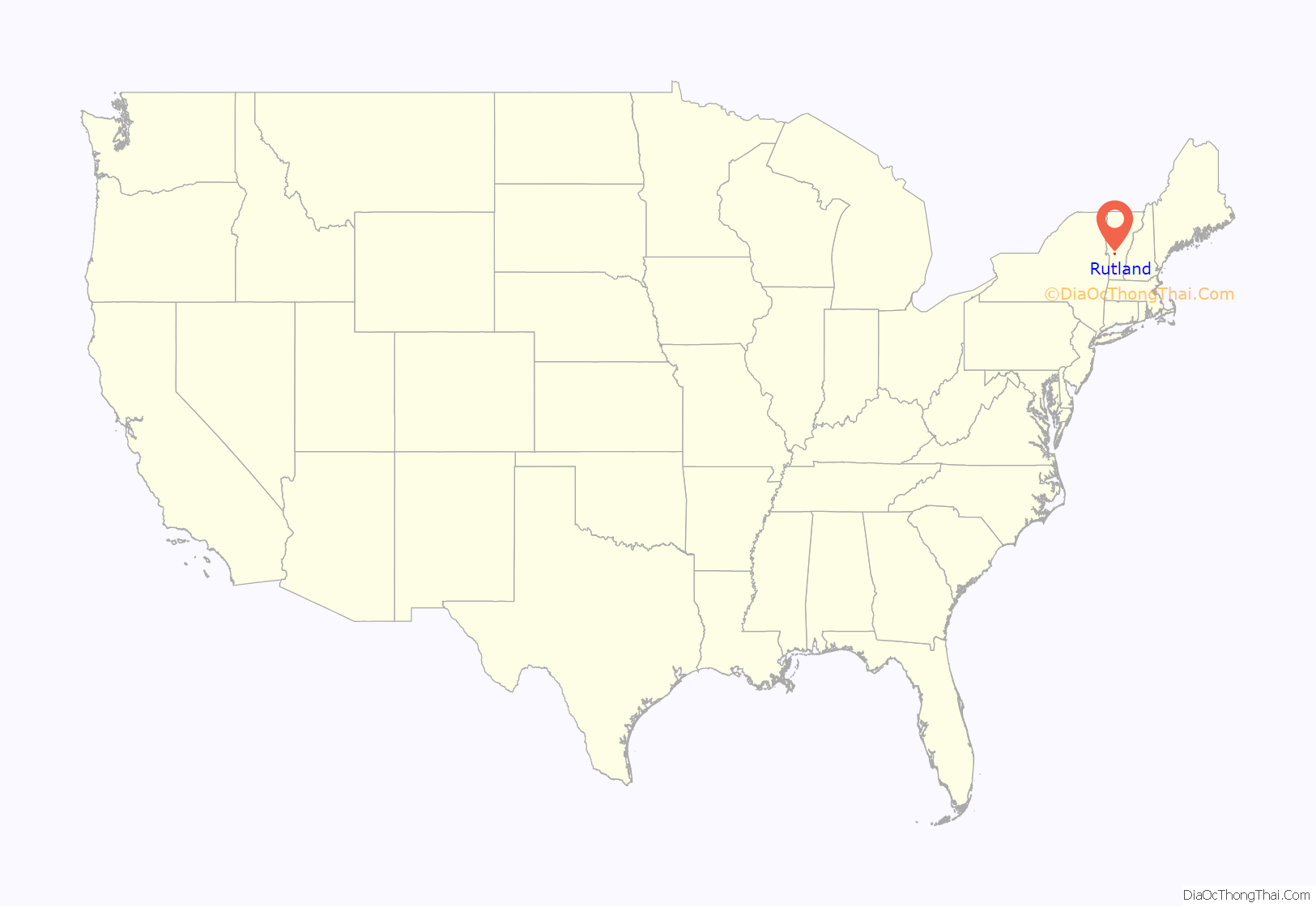
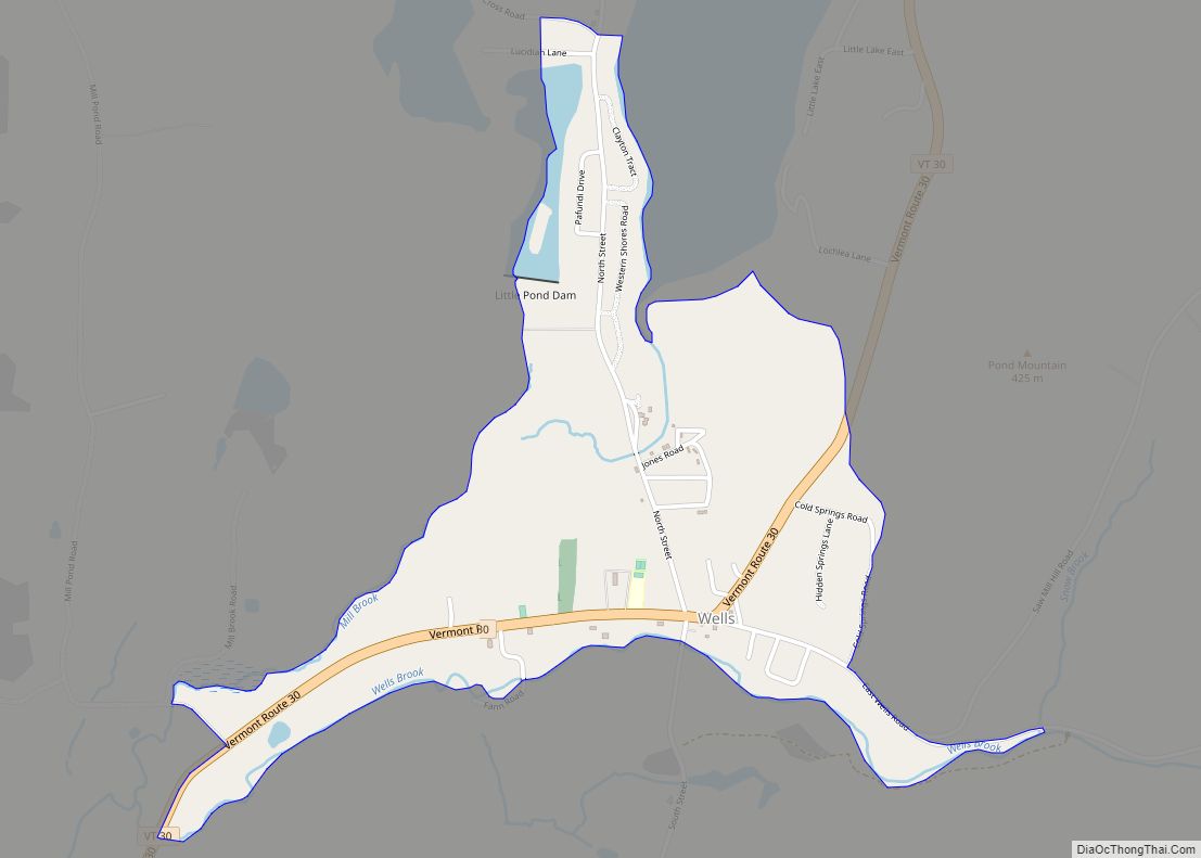
Rutland location map. Where is Rutland city?
History
The town was originally granted in 1761 by Governor Benning Wentworth as one of the New Hampshire Grants. He named it after John Manners, 3rd Duke of Rutland. It is also recorded that John Murray who was the first named proprietor and from Rutland named it. It was one of the most successful of those grants because of the excellent farmland and gentle topography.
In the early 19th century, small high-quality marble deposits were discovered in Rutland, and in the 1830s a large deposit of nearly solid marble of high quality was found in what is now West Rutland. By the 1840s small firms had begun operations, but marble quarries only became profitable when the railroad came to Rutland in 1851. As fate would have it, the famous quarries of Carrara in Tuscany, Italy, became largely unworkable because of their extreme depth at the same time, and Rutland quickly became one of the leading producers of marble in the world. This fueled enough growth and investment that in 1886 the marble companies saw to it that the present Rutland City was incorporated as a village, and most of the town was split off as West Rutland and Proctor, which between them contained the bulk of the marble quarries. Proctor was named for and almost completely owned by Senator Redfield Proctor. In 1892 Rutland City was incorporated, and the remaining town of Rutland that encircled it was primarily rural.
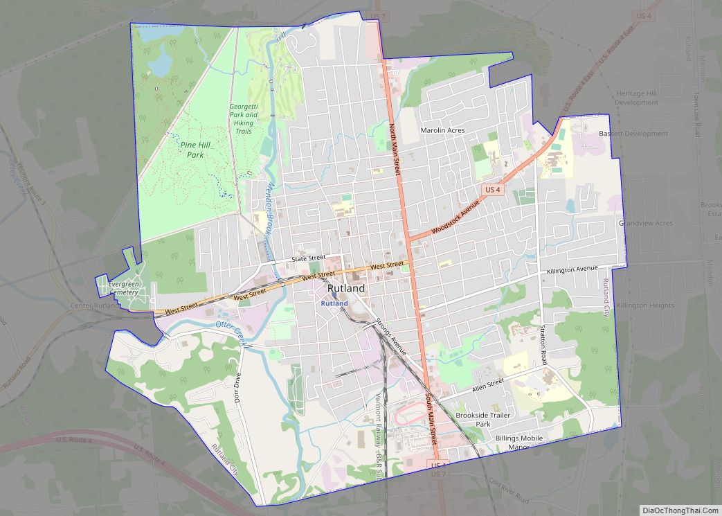
Rutland Road Map
Rutland city Satellite Map
Geography
Rutland is located at 43°46′N 72°59′W / 43.767°N 72.983°W / 43.767; -72.983, elevation 164.6 m (540 ft).
According to the United States Census Bureau, the town has a total area of 19.3 square miles (50.0 km), of which 19.2 square miles (49.7 km) is land and 0.1 square miles (0.3 km) is water. Rutland is drained by Otter Creek, Moon Brook, Tenney Brook, East Creek and Mussey Brook.
The town is crossed by U.S. Route 4, U.S. Route 7 and Vermont Route 4A.
The town of Rutland is home to the Diamond Run Mall and Castleton University’s Spartan Arena.
See also
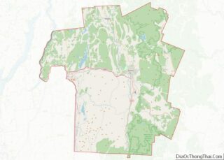
Map of Vermont State and its subdivision: Map of other states:- Alabama
- Alaska
- Arizona
- Arkansas
- California
- Colorado
- Connecticut
- Delaware
- District of Columbia
- Florida
- Georgia
- Hawaii
- Idaho
- Illinois
- Indiana
- Iowa
- Kansas
- Kentucky
- Louisiana
- Maine
- Maryland
- Massachusetts
- Michigan
- Minnesota
- Mississippi
- Missouri
- Montana
- Nebraska
- Nevada
- New Hampshire
- New Jersey
- New Mexico
- New York
- North Carolina
- North Dakota
- Ohio
- Oklahoma
- Oregon
- Pennsylvania
- Rhode Island
- South Carolina
- South Dakota
- Tennessee
- Texas
- Utah
- Vermont
- Virginia
- Washington
- West Virginia
- Wisconsin
- Wyoming
