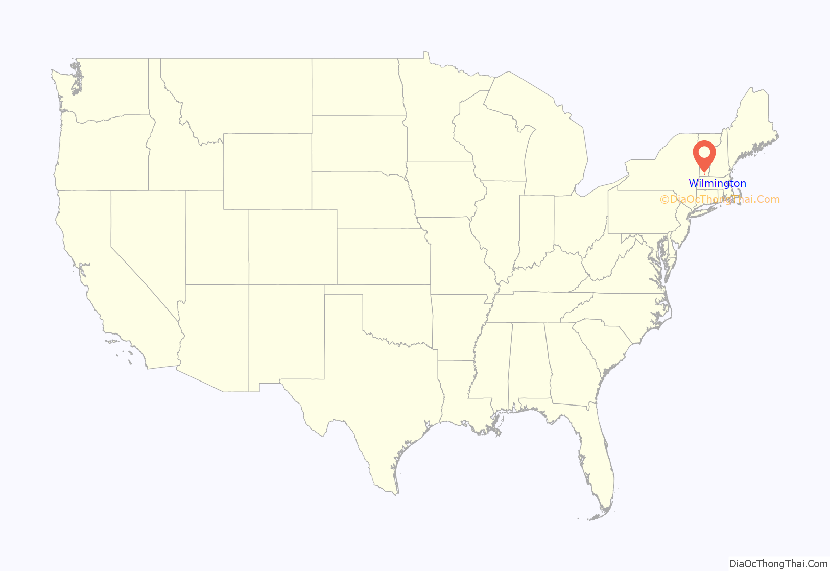
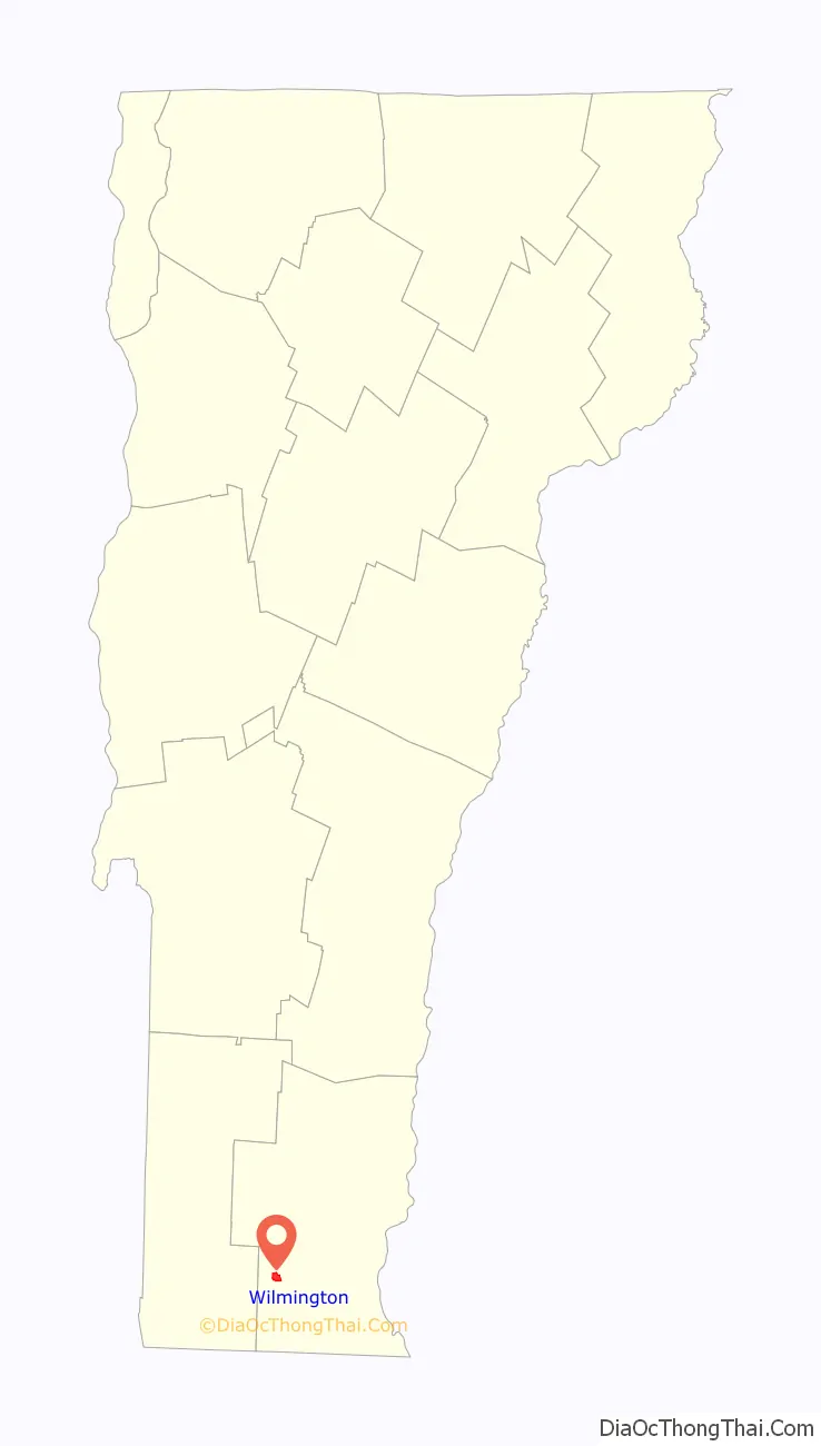
Wilmington is the primary village and a census-designated place (CDP) in the town of Wilmington, Windham County, Vermont, United States. As of the 2020 census, it had a population of 439, compared to 2,255 in the entire town. The center of the village is part of the Wilmington Village Historic District.
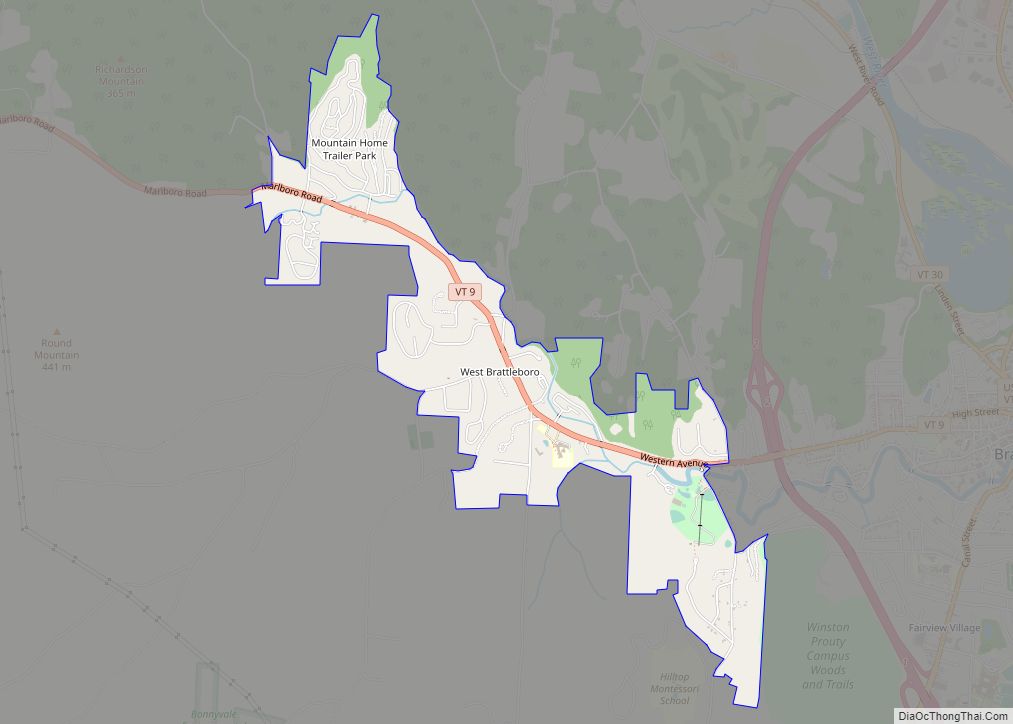
The CDP is in southwestern Windham County, at the geographic center of the town of Wilmington, on the east side of the Green Mountains. It sits in the valley of the North Branch of the Deerfield River, which flows west to join the main stem of the Deerfield at the north end of Harriman Reservoir in western Wilmington. The area is part of the Connecticut River watershed.
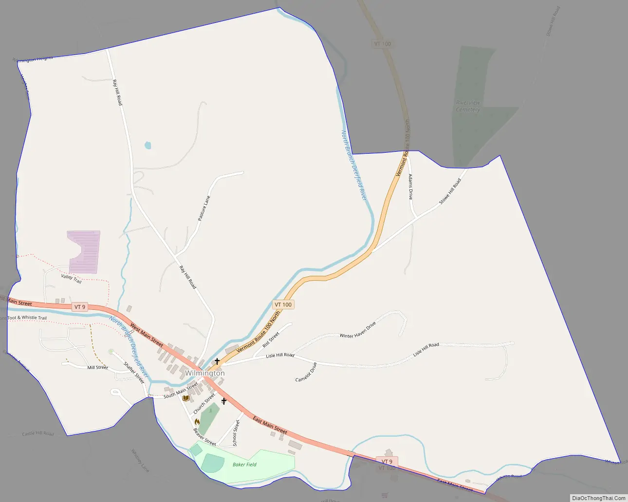
Vermont Route 9 (East and West Main Street) passes through the village, leading east 19 miles (31 km) to Brattleboro and west 20 miles (32 km) to Bennington. Vermont Route 100 (North Main Street) leads north from the center of Wilmington 8 miles (13 km) to Dover. Route 100 joins Route 9 going east out of Wilmington, then turns south and leads 5 miles (8 km) to Jacksonville.
| Name: | Wilmington CDP |
|---|---|
| LSAD Code: | 57 |
| LSAD Description: | CDP (suffix) |
| State: | Vermont |
| County: | Windham County |
| Elevation: | 1,532 ft (467 m) |
| Total Area: | 1.10 sq mi (2.84 km²) |
| Land Area: | 1.08 sq mi (2.81 km²) |
| Water Area: | 0.02 sq mi (0.04 km²) |
| ZIP code: | 05363 |
| Area code: | 802 |
| FIPS code: | 5084625 |
| GNISfeature ID: | 2586661 |
Online Interactive Map
Click on ![]() to view map in "full screen" mode.
to view map in "full screen" mode.
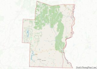
Wilmington location map. Where is Wilmington CDP?
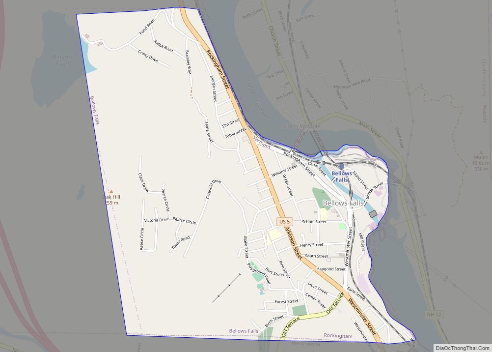
Wilmington Road Map
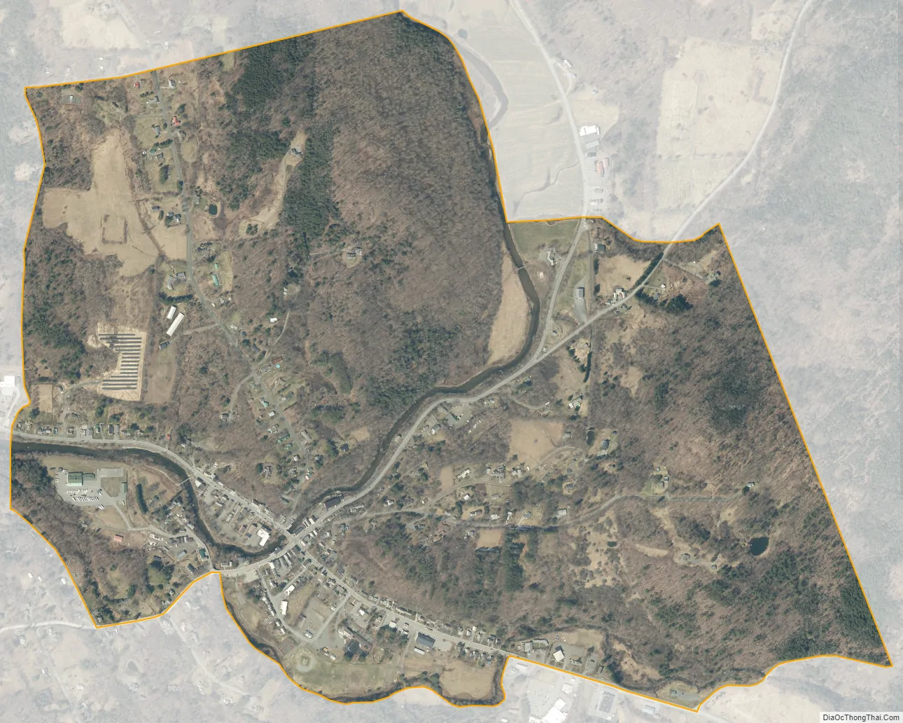
Wilmington city Satellite Map
See also
Map of Vermont State and its subdivision: Map of other states:- Alabama
- Alaska
- Arizona
- Arkansas
- California
- Colorado
- Connecticut
- Delaware
- District of Columbia
- Florida
- Georgia
- Hawaii
- Idaho
- Illinois
- Indiana
- Iowa
- Kansas
- Kentucky
- Louisiana
- Maine
- Maryland
- Massachusetts
- Michigan
- Minnesota
- Mississippi
- Missouri
- Montana
- Nebraska
- Nevada
- New Hampshire
- New Jersey
- New Mexico
- New York
- North Carolina
- North Dakota
- Ohio
- Oklahoma
- Oregon
- Pennsylvania
- Rhode Island
- South Carolina
- South Dakota
- Tennessee
- Texas
- Utah
- Vermont
- Virginia
- Washington
- West Virginia
- Wisconsin
- Wyoming