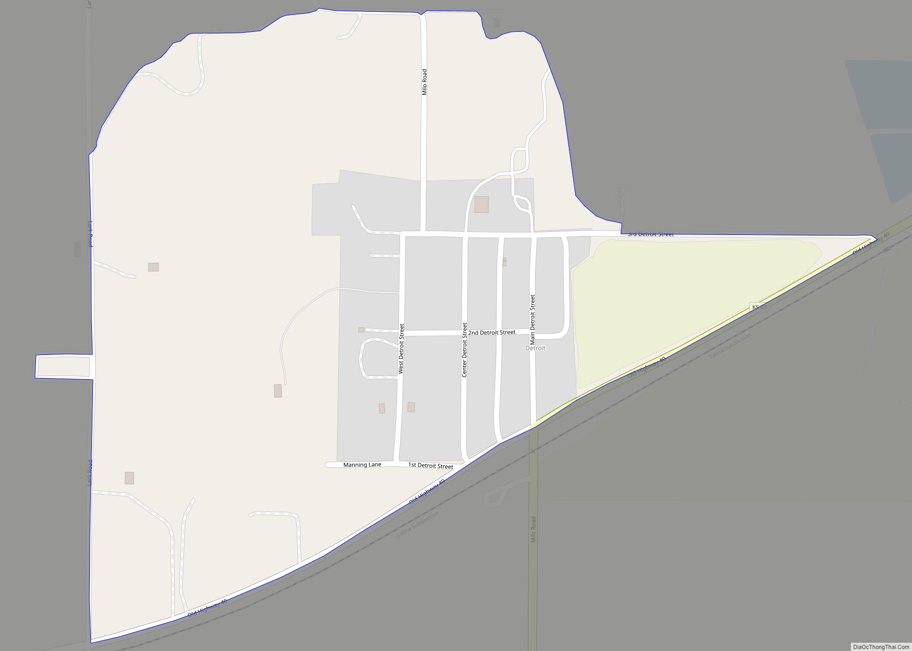
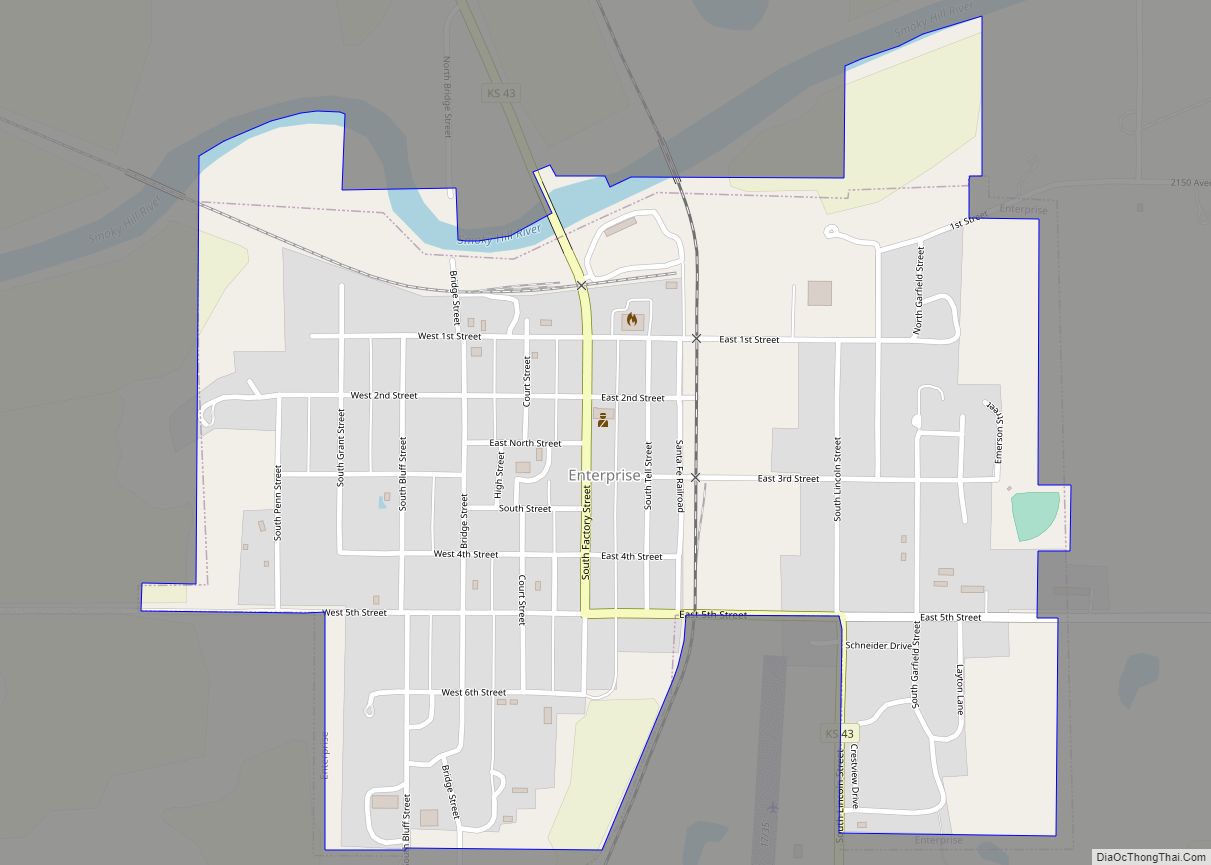
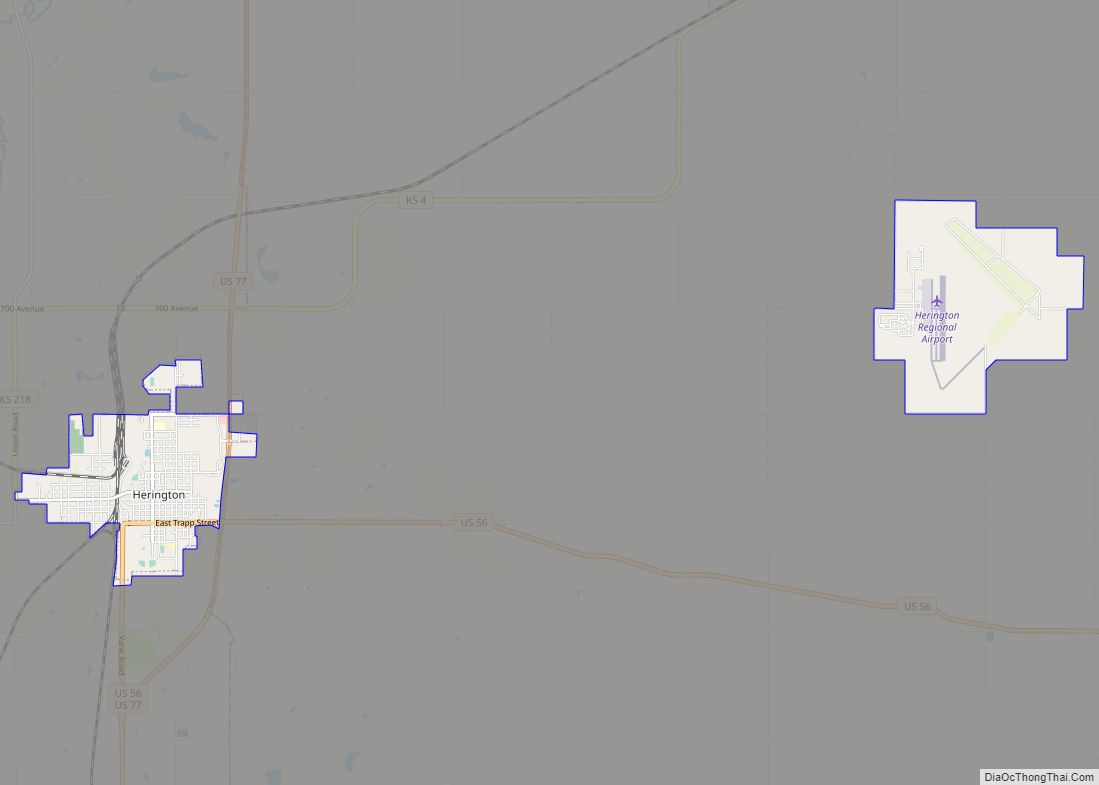
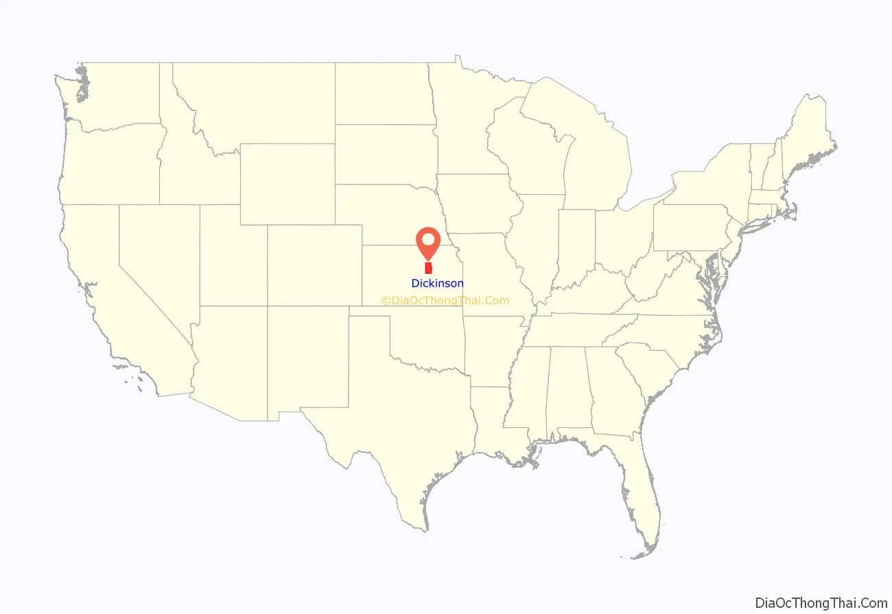
Dickinson County (county code DK) is a county in Central Kansas. As of the 2020 census, the county population was 18,402. Its county seat and most populous city is Abilene. The county was named in honor of Daniel S. Dickinson.
| Name: | Dickinson County |
|---|---|
| FIPS code: | 20-041 |
| State: | Kansas |
| Founded: | February 20, 1857 |
| Named for: | Daniel S. Dickinson |
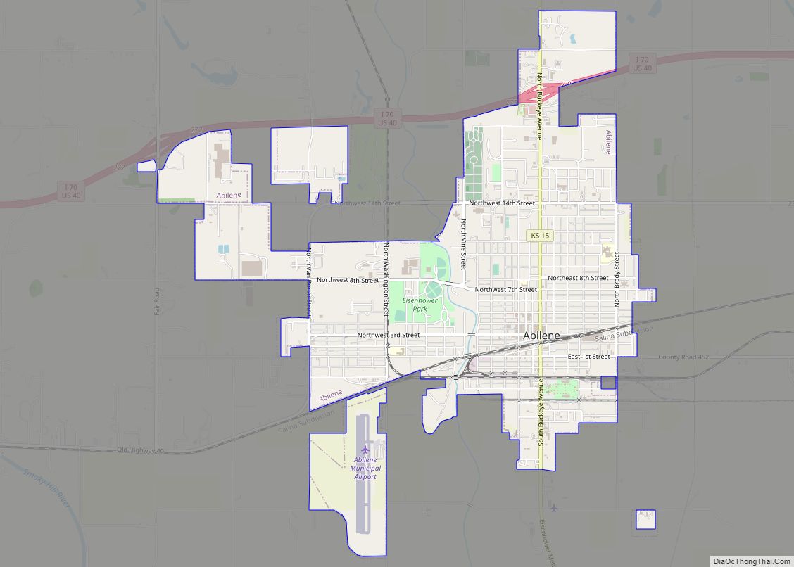
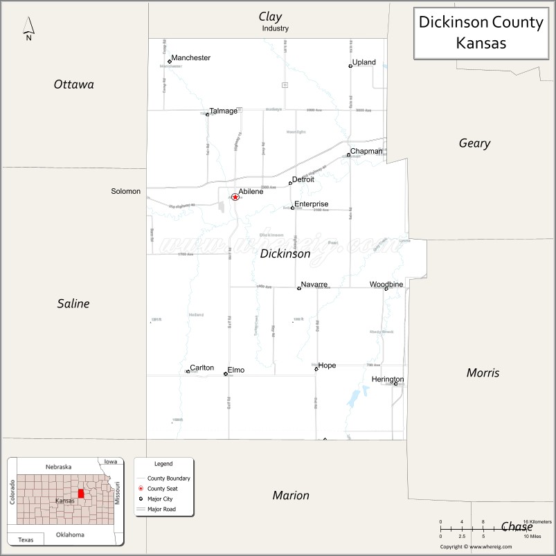
| Seat: | Abilene |
| Largest city: | Abilene |
| Total Area: | 852 sq mi (2,210 km²) |
| Land Area: | 847 sq mi (2,190 km²) |
| Total Population: | 18,402 |
| Population Density: | 21.7/sq mi (8.4/km²) |
| Time zone: | UTC−6 (Central) |
| Summer Time Zone (DST): | UTC−5 (CDT) |
| Website: | DkCoKS.org |
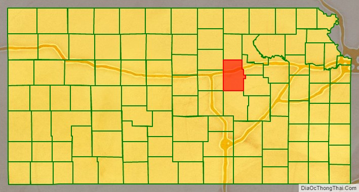
Dickinson County location map. Where is Dickinson County?
History
Early history
For many millennia, the Great Plains of North America was inhabited by nomadic Native Americans. From the 16th century to 18th century, the Kingdom of France claimed ownership of large parts of North America. In 1762, after the French and Indian War, France secretly ceded New France to Spain, per the Treaty of Fontainebleau. In 1802, Spain returned most of the land to France, but keeping title to about 7,500 square miles.
In 1803, most of the land for modern day Kansas was acquired by the United States from France as part of the 828,000 square mile Louisiana Purchase for 2.83 cents per acre. In 1848, after the Mexican–American War, the Treaty of Guadalupe Hidalgo with Spain brought into the United States all or part of land for ten future states, including southwest Kansas. In 1854, the Kansas Territory was organized, then in 1861 Kansas became the 34th U.S. state.
19th century
In 1857, Dickinson County was founded.
The first railroad in Dickinson County was built through that territory in 1866.
In 1887, Mr. Herington got the Chicago, Kansas and Nebraska Railway to build through Herington. He gave the land and right-of-way for Herington to become a division point with shops, two round houses, freight house, bridge yards, telegraph office and many other buildings. He furnished the limestone for the freight house, and for a two-story depot that was 28 by 66 feet (8.5 m × 20.1 m) and later enlarged to 28 by 105 feet (8.5 m × 32.0 m).
In 1887, the Chicago, Kansas and Nebraska Railway built a main line from Topeka to Herington. This main line connected Topeka, Valencia, Willard, Maple Hill, Vera, Paxico, McFarland, Alma, Volland, Alta Vista, Dwight, White City, Latimer, Herington.
In 1887, the Chicago, Kansas and Nebraska Railway extended its main line from Herington to Pratt. This main line connected Herington, Ramona, Tampa, Durham, Waldeck, Canton, Galva, McPherson, Groveland, Inman, Medora, Hutchinson, Whiteside, Partridge, Arlington, Langdon, Turon, Preston, Natrona, Pratt. In 1888, this main line was extended to Liberal. Later, this line was extended to Tucumcari, New Mexico and El Paso, Texas. This line is called the “Golden State Limited”.
In 1887, the Chicago, Kansas and Nebraska Railway built a branch line north–south from Herington to Caldwell. This branch line connected Herington, Lost Springs, Lincolnville, Antelope, Marion, Aulne, Peabody, Elbing, Whitewater, Furley, Kechi, Wichita, Peck, Corbin, Wellington, Caldwell. By 1893, this branch line was incrementally built to Fort Worth, Texas. This line is called the “OKT”.
The Chicago, Kansas and Nebraska Railway was foreclosed in 1891 and was taken over by Chicago, Rock Island and Pacific Railway, which shut down in 1980 and reorganized as Oklahoma, Kansas and Texas Railroad, merged in 1988 with Missouri Pacific Railroad, merged in 1997 with Union Pacific Railroad. Most locals still refer to this railroad as the “Rock Island”.
In 1887, Atchison, Topeka and Santa Fe Railway built a branch line from Neva (3 miles west of Strong City) to Superior, Nebraska. This branch line connected Strong City, Neva, Rockland, Diamond Springs, Burdick, Lost Springs, Jacobs, Hope, Navarre, Enterprise, Abilene, Talmage, Manchester, Longford, Oak Hill, Miltonvale, Aurora, Huscher, Concordia, Kackley, Courtland, Webber, Superior. At some point, the line from Neva to Lost Springs was pulled but the right of way has not been abandoned. This branch line was originally called “Strong City and Superior line” but later the name was shortened to the “Strong City line”.
In 1996, the Atchison, Topeka and Santa Fe Railway merged with Burlington Northern Railroad and renamed to the current BNSF Railway. Most locals still refer to this railroad as the “Santa Fe”.
21st century
In 2010, the Keystone-Cushing Pipeline (Phase II) was constructed north to south through Dickinson County, with much controversy over tax exemption and environmental concerns. A pumping station named Hope was built along the pipeline.
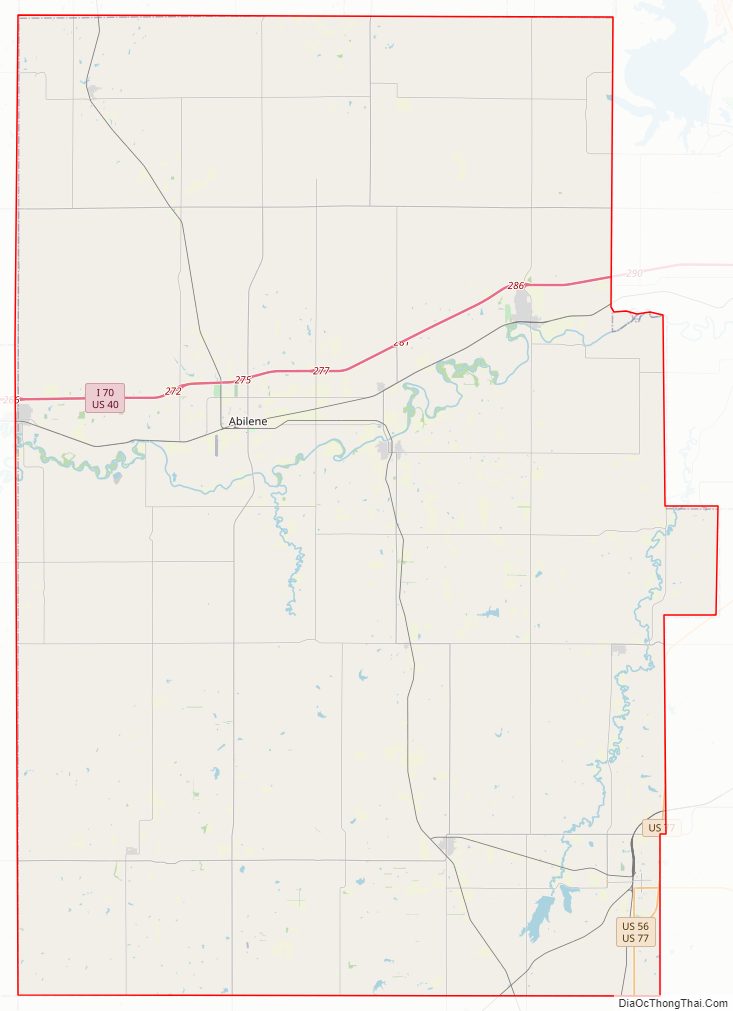
Dickinson County Road Map
Geography
According to the U.S. Census Bureau, the county has an area of 852 square miles (2,210 km), of which 847 square miles (2,190 km) is land and 4.9 square miles (13 km) (0.6%) is water.
Adjacent counties
- Clay County (north)
- Geary County (east)
- Morris County (southeast)
- Marion County (south)
- McPherson County (southwest)
- Saline County (west)
- Ottawa County (northwest)
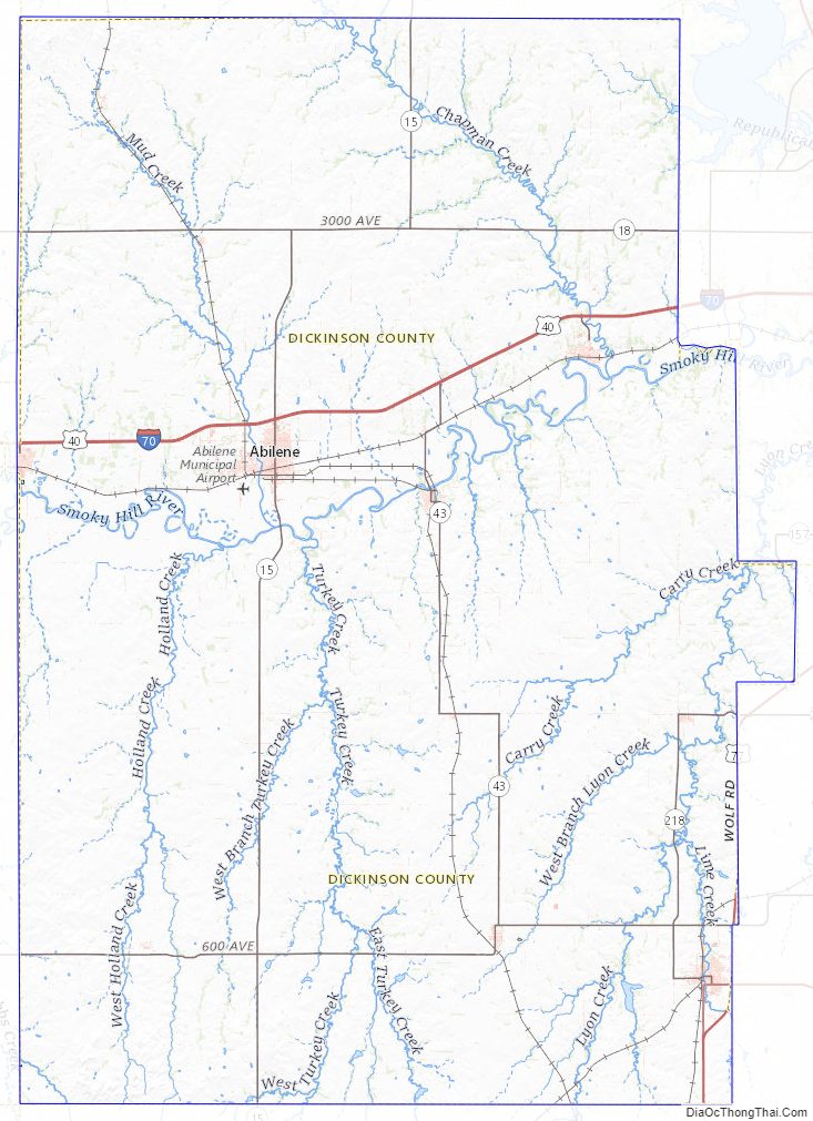
Dickinson County Topographic Map
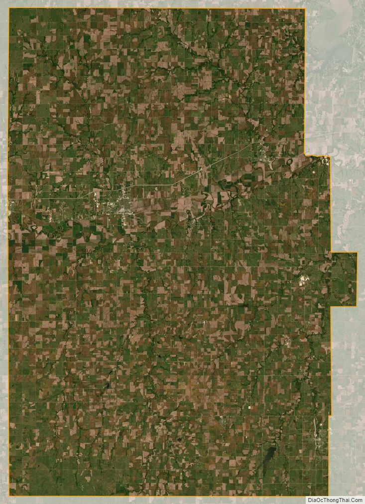
Dickinson County Satellite Map
Dickinson County Outline Map