St. Lawrence County is a county in the U.S. state of New York. As of the 2020 census, the population was 108,505. The county seat is Canton. The county is named for the Saint Lawrence River, which in turn was named for the Christian saint Lawrence of Rome, on whose feast day the river was visited by French explorer Jacques Cartier.
St. Lawrence County comprises the Ogdensburg-Massena, NY Micropolitan Statistical Area and is New York’s largest county by area.
| Name: | St. Lawrence County |
|---|---|
| FIPS code: | 36-089 |
| State: | New York |
| Founded: | 1802 |
| Named for: | Saint Lawrence River |
| Seat: | Canton |
| Total Area: | 2,821 sq mi (7,310 km²) |
| Land Area: | 2,680 sq mi (6,900 km²) |
| Total Population: | 108,505 |
| Population Density: | 40.5/sq mi (15.6/km²) |
| Time zone: | UTC−5 (Eastern) |
| Summer Time Zone (DST): | UTC−4 (EDT) |
| Website: | www.stlawco.org |
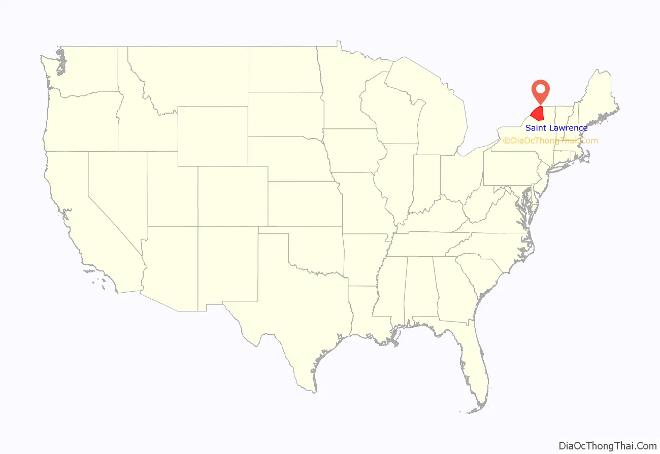
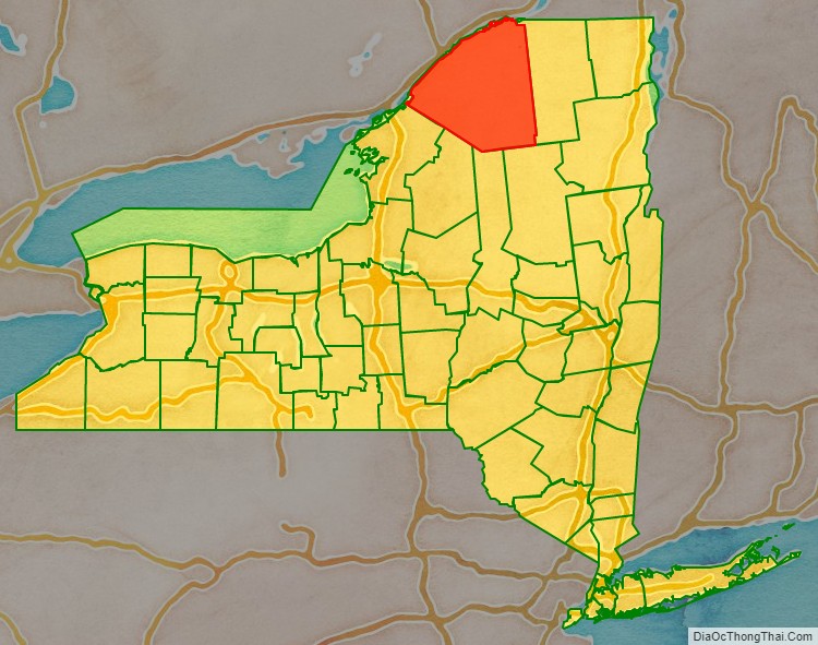
St. Lawrence County location map. Where is St. Lawrence County?
History
When counties were established in the Province of New York in 1683, the present St. Lawrence County was part of Albany County. This was an enormous territory, including the northern part of New York State as well as all of the present State of Vermont and, in theory, extending westward to the Pacific Ocean. The county was reduced in size on July 3, 1766, by the creation of Cumberland County, and further on March 16, 1770, by the creation of Gloucester County, both containing territory now in Vermont.
On March 12, 1772, what was left of Albany County was split into three parts, one remaining under the name Albany County. The other two were called Tryon County (later renamed Montgomery County) and Charlotte County (later renamed Washington County). Tryon County contained the western portion (and, since no western boundary was specified, theoretically extended west to the Pacific). The eastern boundary of Tryon County was approximately five miles west of the present city of Schenectady, and the county included the western part of the Adirondack Mountains and the area west of the West Branch of the Delaware River. The area then designated as Tryon County includes what are now 37 counties of New York State. The county was named for William Tryon, colonial governor of New York. Charlotte County contained the eastern portion of Albany County.
In 1784, following the peace treaty that ended the American Revolutionary War, the name “Charlotte County” was changed to Washington County to honor George Washington, the American Revolutionary War general and later President of the United States of America. Tryon County was changed to Montgomery County to honor the general, Richard Montgomery, who had captured several places in Canada and died trying to capture the city of Quebec; it replaced the name of the hated British governor.
In 1788, Clinton County was split off from Washington County. This was a much larger area than the present Clinton County, including part of what would later become St. Lawrence County, as well as several other counties or county parts of the present New York State.
In 1789, the size of Montgomery County was reduced by the splitting off of Ontario County from Montgomery. The actual area split off from Montgomery County was much larger than the present county, also including the present Allegany, Cattaraugus, Chautauqua, Erie, Genesee, Livingston, Monroe, Niagara, Orleans, Steuben, Wyoming, Yates, and part of Schuyler and Wayne Counties.
St. Lawrence County is part of Macomb’s Purchase of 1791.
In 1791, Herkimer County was one of three counties split off from Montgomery (the other two being Otsego, and Tioga County). This was much larger than the present county, however, and was reduced by a number of subsequent splits. The first was the splitting off in 1794 of Onondaga County. This county was larger than the current Onondaga County, including the present Cayuga, Cortland, and part of Oswego Counties. This was followed by the splitting off in 1798 from Herkimer County of two portions: one, Oneida County, was larger than the current Oneida County, including the present Jefferson, Lewis, and part of Oswego Counties; another portion, together with a portion of Tioga County, was taken to form Chenango County.
In 1799, Clinton County was reduced in size by the splitting off of Essex County from Clinton County.
In 1802, parts of Clinton, Herkimer, and Montgomery Counties were taken to form the new St. Lawrence County. At that time Ogdensburg was the county seat. In 1828 the county seat was moved to Canton. The selection of Canton as the county seat was a compromise by the state legislature to end competition between factions supporting Ogdensburg and Potsdam for the county seat.
Earthquake
On September 5, 1944, a 5.8 magnitude earthquake centered in Massena struck the county. The earthquake was felt from Canada to Maryland, and from Maine to Indiana. The earthquake was the strongest earthquake in New York State history.
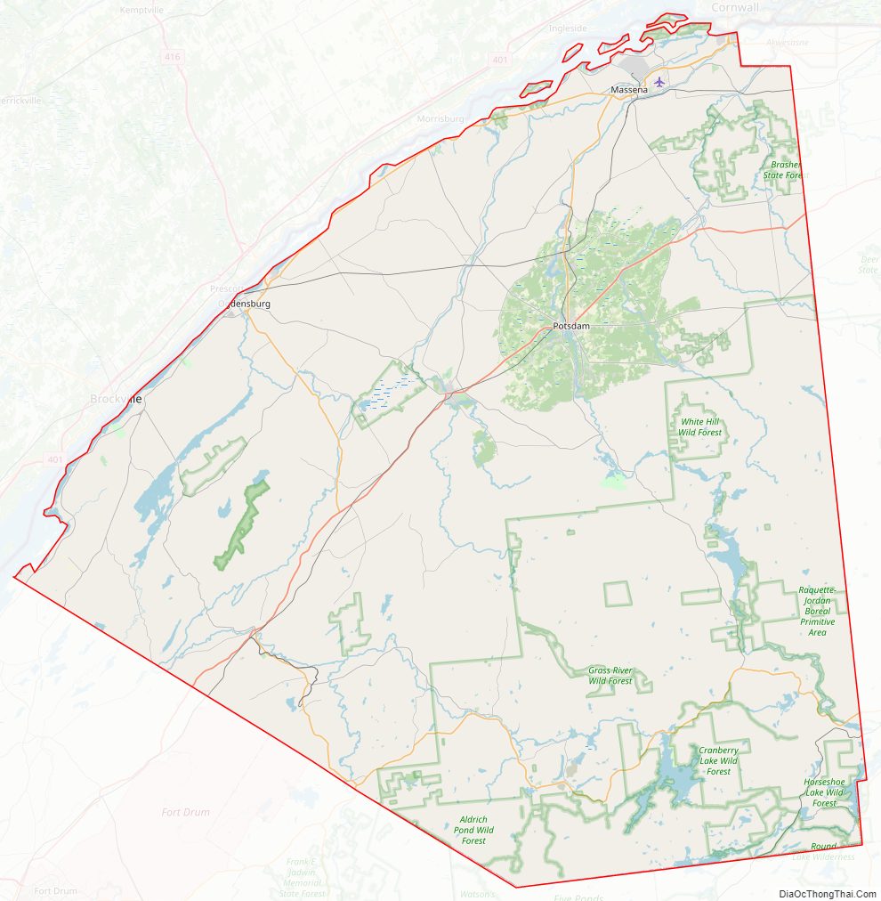
St. Lawrence County Road Map
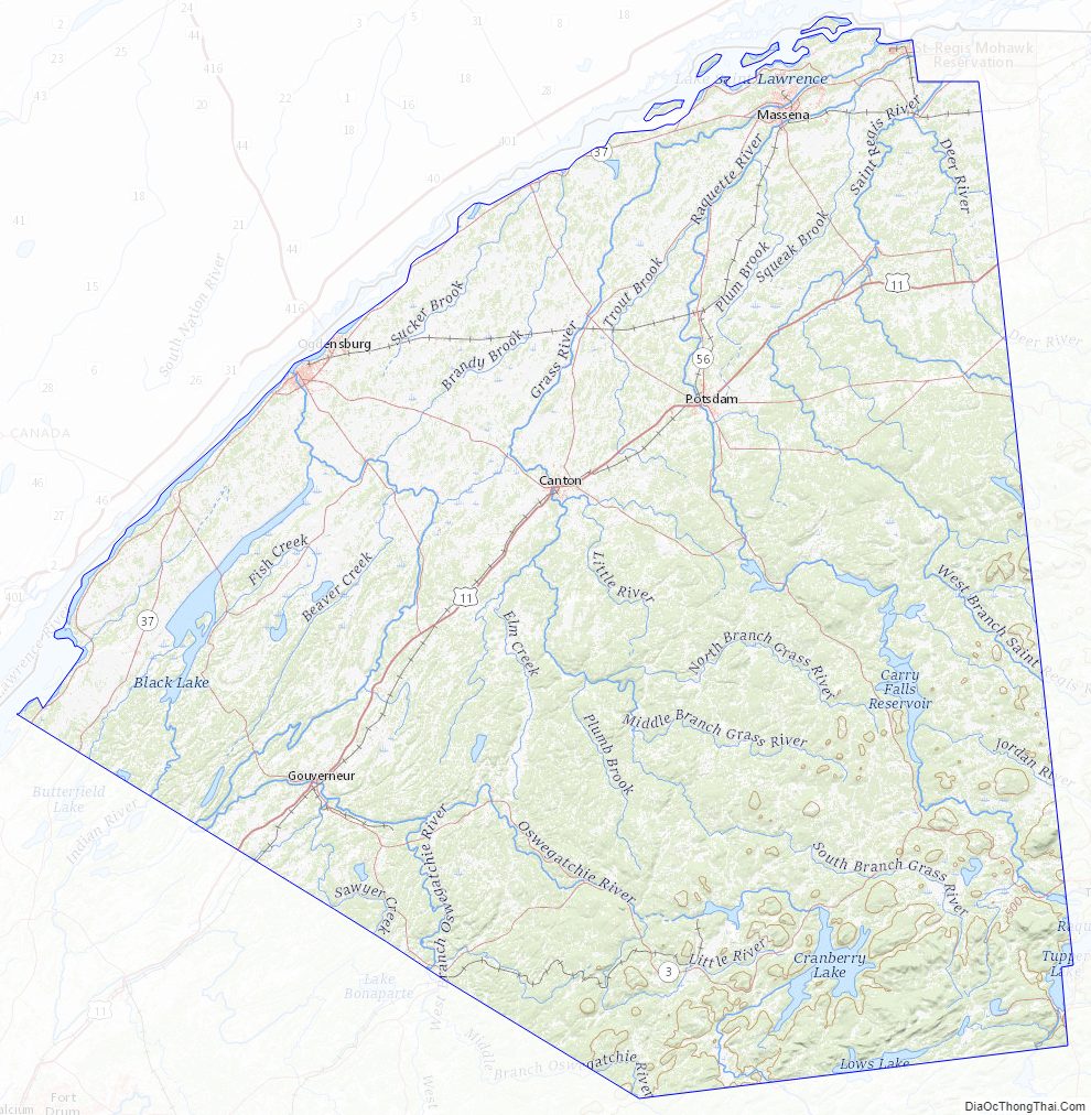
Geography
According to the United States Census Bureau, the county has a total area of 2,821 square miles (7,310 km), of which 2,680 square miles (6,900 km) is land and 141 square miles (370 km) (5.0%) is water. It is the largest county by area in New York. It is larger than the entire state of Rhode Island (1544.9 square miles) and the state of Delaware (2488.72 square miles). St. Lawrence County is part of the North Country region.
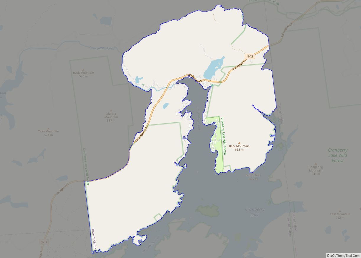
Part of the county is in the Adirondack Park and includes much of the Oswegatchie River, Cranberry Lake and Lake Ozonia.
The Port of Ogdensburg in St. Lawrence County is the only U.S. port on the St. Lawrence Seaway, which allows ships and vessels to pass through the St. Lawrence River and on to the Great Lakes. Ogdensburg Harbor Light is listed in the National Register of Historic Places, and in the National Register of Historic Places listings in St. Lawrence County, New York
Adjacent counties
- Stormont, Dundas and Glengarry United Counties, Ontario, Canada – north
- Leeds and Grenville United Counties, Ontario, Canada – northwest
- Franklin County – east
- Herkimer County – south
- Hamilton County – south
- Lewis County – southwest
- Jefferson County – west
St. Lawrence County Topographic Map
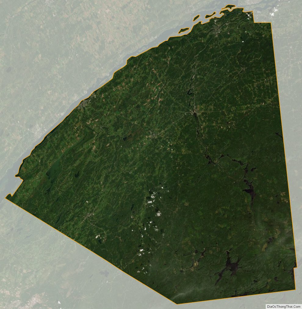
St. Lawrence County Satellite Map
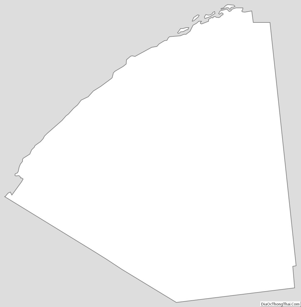
St. Lawrence County Outline Map