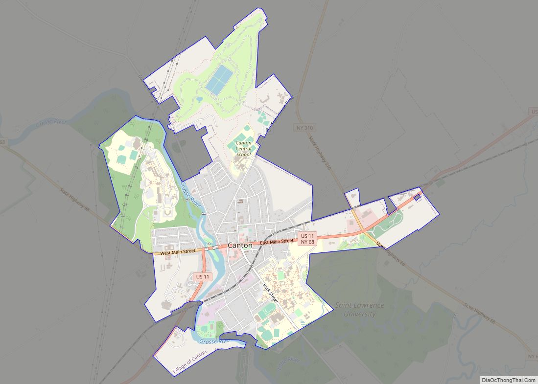
Canton is a village and county seat of St. Lawrence County, New York, United States. The village is centrally located in both the town of Canton and the county of St. Lawrence. The population was 7,155 at the 2020 census. The name comes from the Chinese city of Canton (now Guangzhou).
The village of Canton provides many municipal services such as a fully functional village highway department, water and sewer department, volunteer fire department, court system and a police department along with other municipal agencies.
| Name: | Canton village |
|---|---|
| LSAD Code: | 47 |
| LSAD Description: | village (suffix) |
| State: | New York |
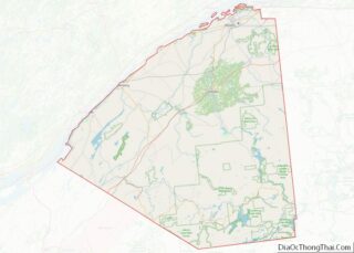
| County: | St. Lawrence County |
| Elevation: | 377 ft (115 m) |
| Total Area: | 4.27 sq mi (11.07 km²) |
| Land Area: | 4.14 sq mi (10.74 km²) |
| Water Area: | 0.13 sq mi (0.33 km²) |
| Total Population: | 7,155 |
| Population Density: | 1,726.18/sq mi (666.49/km²) |
| ZIP code: | 13617 |
| FIPS code: | 3612331 |
| GNISfeature ID: | 0976078 |
| Website: | http://www.cantonnewyork.us/ |
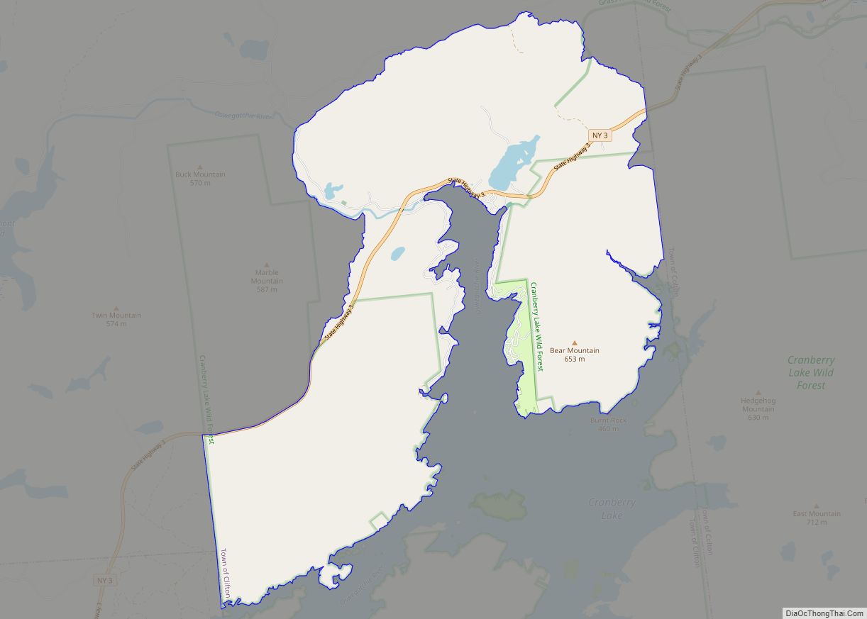
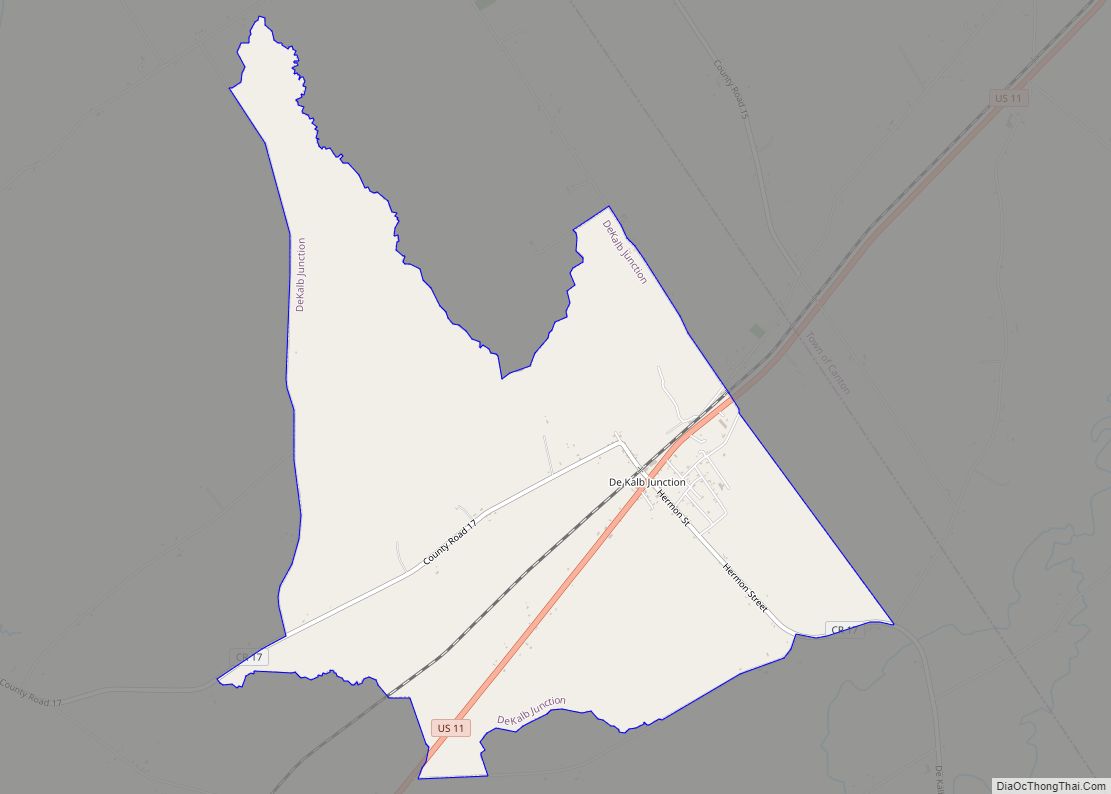
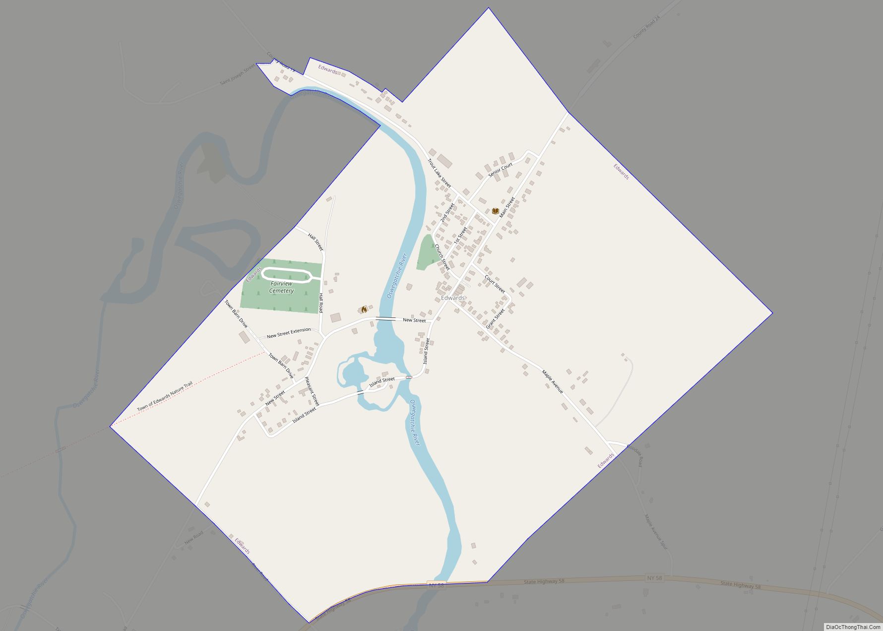
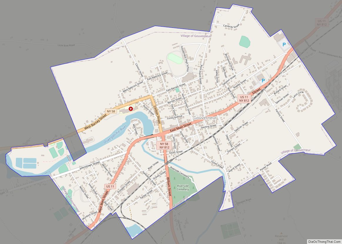
Online Interactive Map
Click on ![]() to view map in "full screen" mode.
to view map in "full screen" mode.
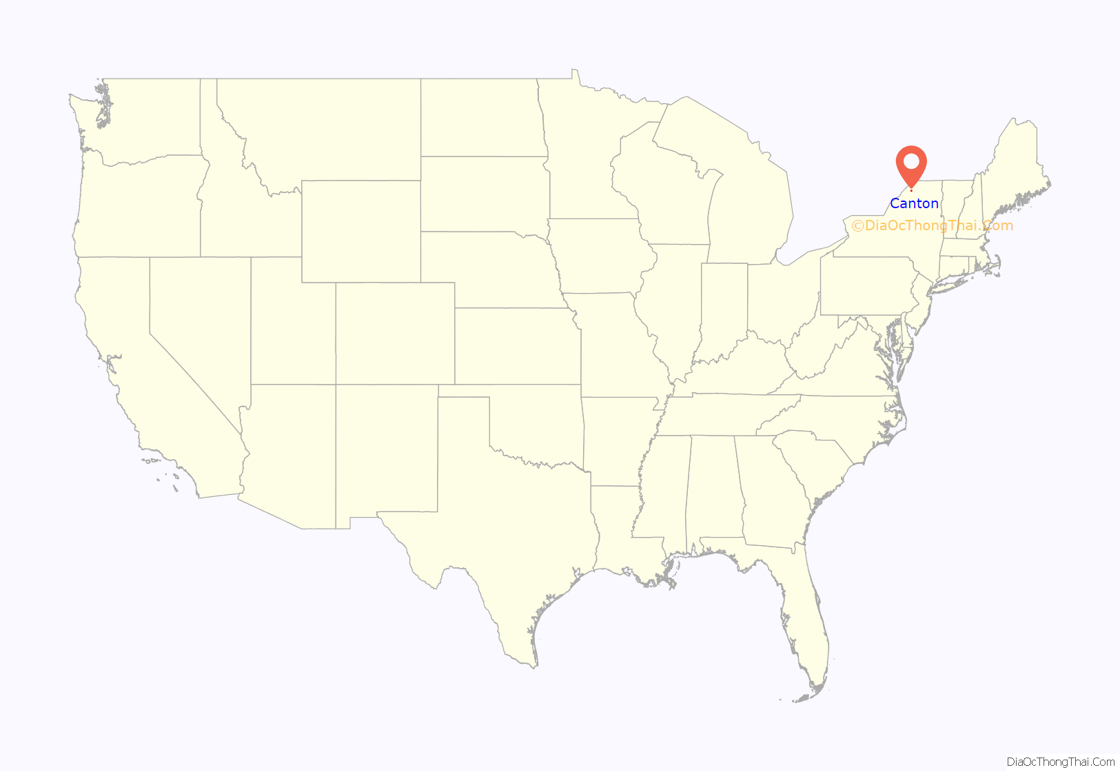
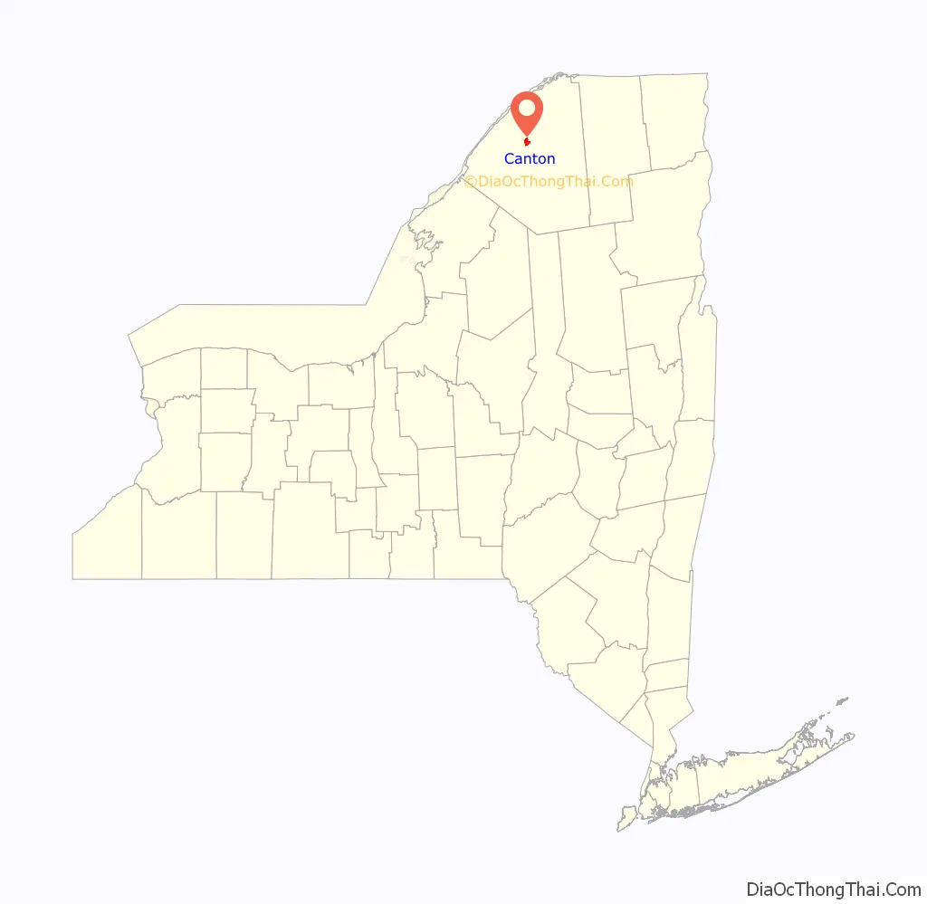
Canton location map. Where is Canton village?
History
The first attempt at settlement was made in 1800, but the first permanent settlement occurred in 1801. The first post office used the name “New Cairo,” but changed to Canton by 1807. The early economy was based on farming and lumbering.
The village was incorporated in 1845. Between 1887 and 1889, the village was modernized with a sewage system, water works, and electrical lighting.
St. Lawrence University was founded here in 1856, and the State University of New York at Canton (northwest of the village) was begun in 1906.
In addition to Herring-Cole Hall Richardson Hall, and the Old Campus Historic District of St. Lawrence University, the Village Park Historic District and United States Post Office are listed on the National Register of Historic Places.
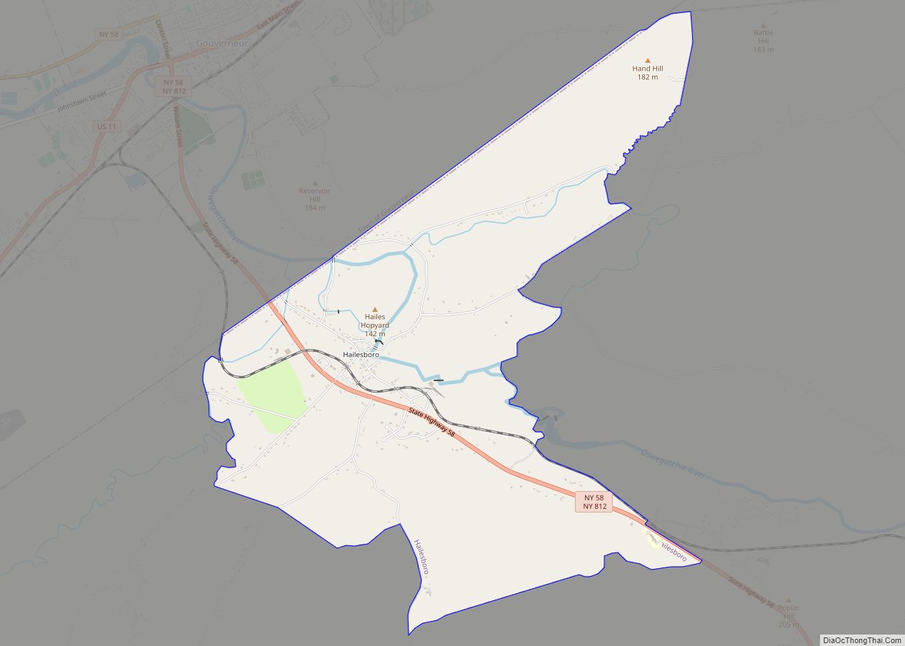
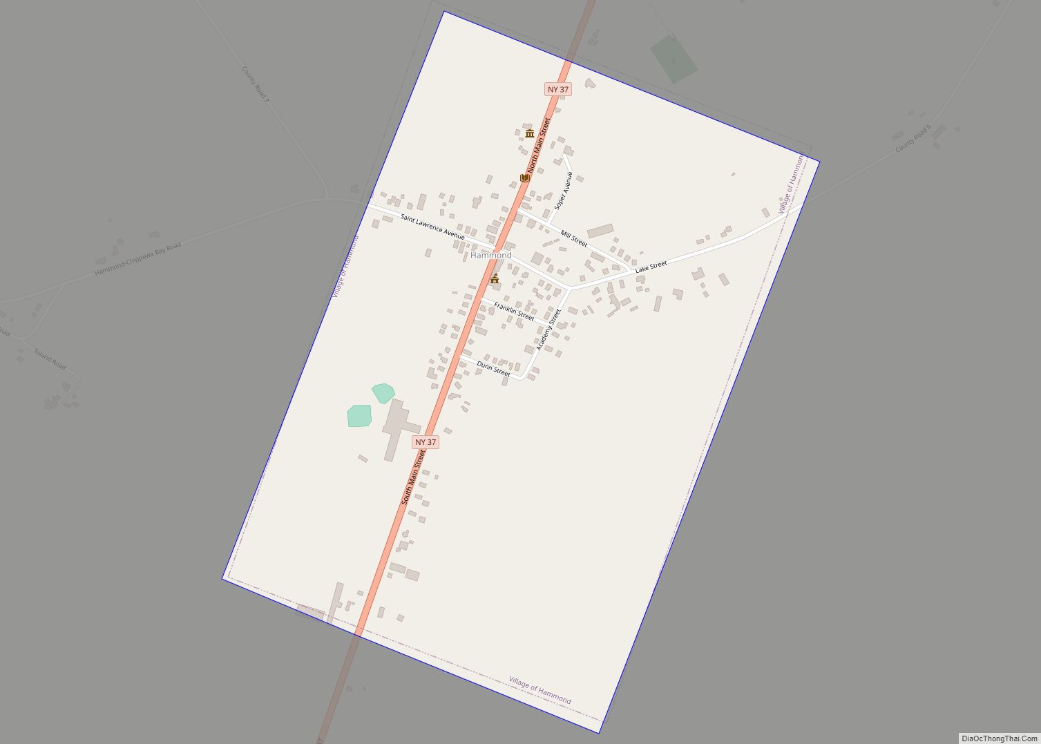
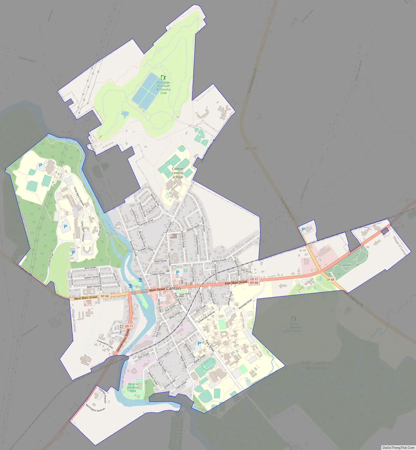
Canton Road Map
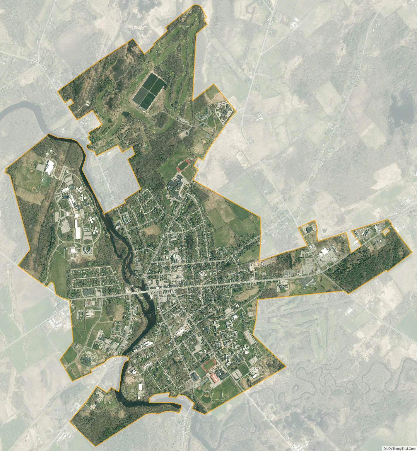
Canton city Satellite Map
Geography
Canton is located at 44°35′51″N 75°10′16″W / 44.59750°N 75.17111°W / 44.59750; -75.17111 (44.5976, -75.17118).
According to the United States Census Bureau, the village has a total area of 3.3 square miles (8.7 km), of which 3.2 square miles (8.4 km) is land and 0.1 square mile (0.3 km) (2.99%) is water.
The village is located on the Grasse River, a tributary of the St. Lawrence River.
The village is served by U.S. Route 11, New York State Route 68, New York State Route 310, and County Roads 27 and 24.
See also
Map of New York State and its subdivision:- Albany
- Allegany
- Bronx
- Broome
- Cattaraugus
- Cayuga
- Chautauqua
- Chemung
- Chenango
- Clinton
- Columbia
- Cortland
- Delaware
- Dutchess
- Erie
- Essex
- Franklin
- Fulton
- Genesee
- Greene
- Hamilton
- Herkimer
- Jefferson
- Kings
- Lake Ontario
- Lewis
- Livingston
- Madison
- Monroe
- Montgomery
- Nassau
- New York
- Niagara
- Oneida
- Onondaga
- Ontario
- Orange
- Orleans
- Oswego
- Otsego
- Putnam
- Queens
- Rensselaer
- Richmond
- Rockland
- Saint Lawrence
- Saratoga
- Schenectady
- Schoharie
- Schuyler
- Seneca
- Steuben
- Suffolk
- Sullivan
- Tioga
- Tompkins
- Ulster
- Warren
- Washington
- Wayne
- Westchester
- Wyoming
- Yates
- Alabama
- Alaska
- Arizona
- Arkansas
- California
- Colorado
- Connecticut
- Delaware
- District of Columbia
- Florida
- Georgia
- Hawaii
- Idaho
- Illinois
- Indiana
- Iowa
- Kansas
- Kentucky
- Louisiana
- Maine
- Maryland
- Massachusetts
- Michigan
- Minnesota
- Mississippi
- Missouri
- Montana
- Nebraska
- Nevada
- New Hampshire
- New Jersey
- New Mexico
- New York
- North Carolina
- North Dakota
- Ohio
- Oklahoma
- Oregon
- Pennsylvania
- Rhode Island
- South Carolina
- South Dakota
- Tennessee
- Texas
- Utah
- Vermont
- Virginia
- Washington
- West Virginia
- Wisconsin
- Wyoming