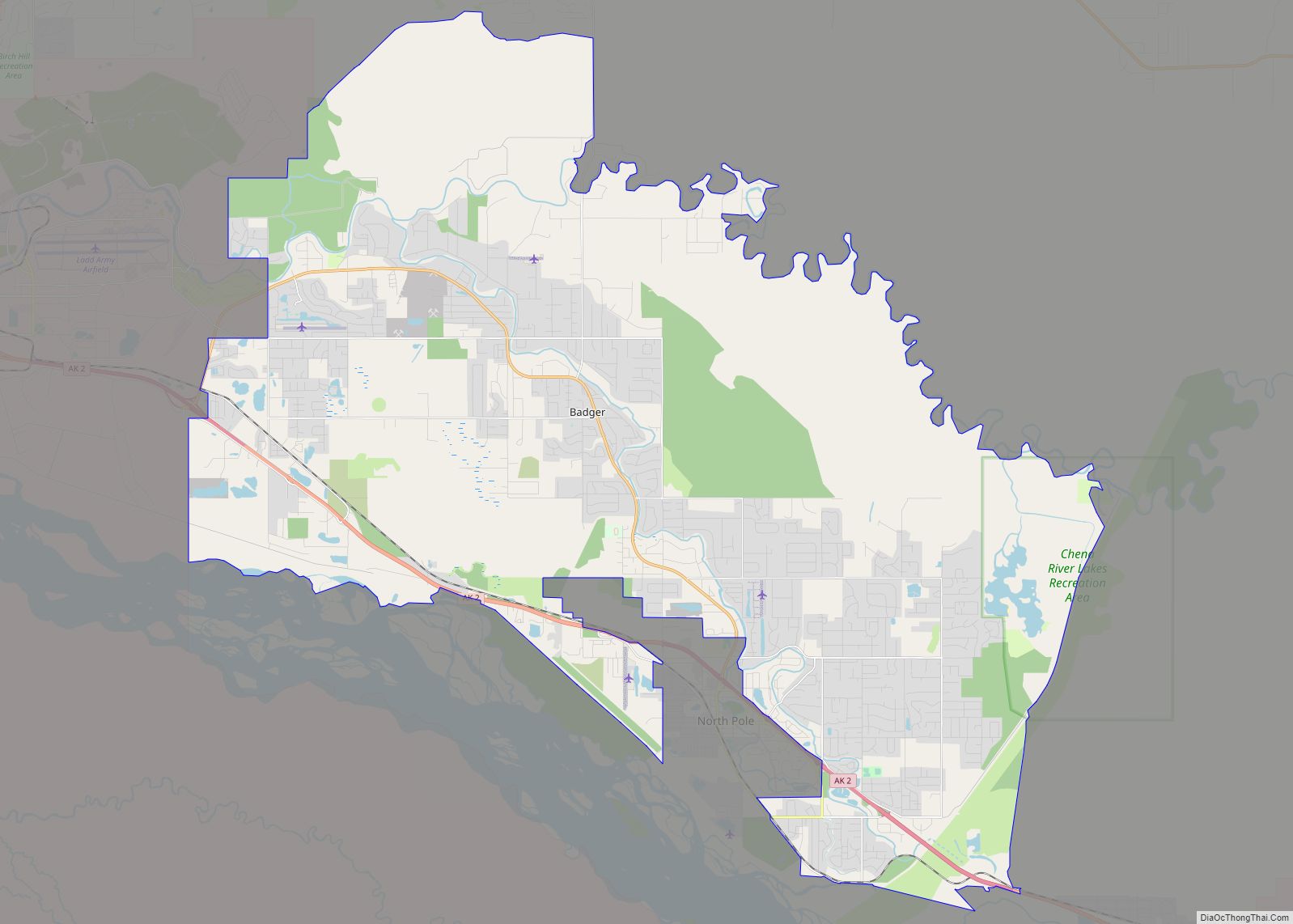
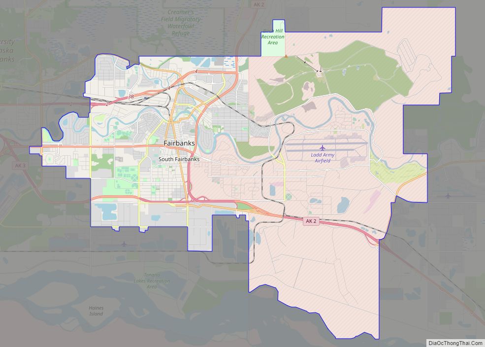
Badger is a census-designated place (CDP) in the Fairbanks North Star Borough of Alaska. It was one of the CDPs created in 2010 out of small suburbs and outskirts of Fairbanks. It has an area of 66.71 sq. mi, 65.63 of land and 1.08 of water.
The population of the CDP was 19,031 as of the 2020 Census, down from 19,482 in 2010. Badger’s designation as a Place made it number 5 by population, behind Anchorage, Fairbanks, Juneau and Knik-Fairview, in a list of Alaska Cities and census-designated places (by population). Badger is a major community of the Fairbanks, AK Metropolitan Statistical Area.
Fort Wainwright the Army and National Guard installation of Fairbanks is inside the Badger Place geographic boundaries. The military estimates that the installation serves approximately 7,000 Soldiers and 6,500 Family Members, 2,400 Civilians and Contractors and 7,800 Retirees and Veterans. The Soldiers and Family Members are very transient but the total population number less so. A significant portion of the Badger population reported in the 2010 Census were Soldiers and Family Members of Fort Wainwright.
| Name: | Badger CDP |
|---|---|
| LSAD Code: | 57 |
| LSAD Description: | CDP (suffix) |
| State: | Alaska |
| County: | Fairbanks North Star Borough |
| Total Area: | 66.70 sq mi (172.75 km²) |
| Land Area: | 65.66 sq mi (170.04 km²) |
| Water Area: | 1.05 sq mi (2.71 km²) |
| Total Population: | 19,031 |
| Population Density: | 289.86/sq mi (111.92/km²) |
| FIPS code: | 0205000 |
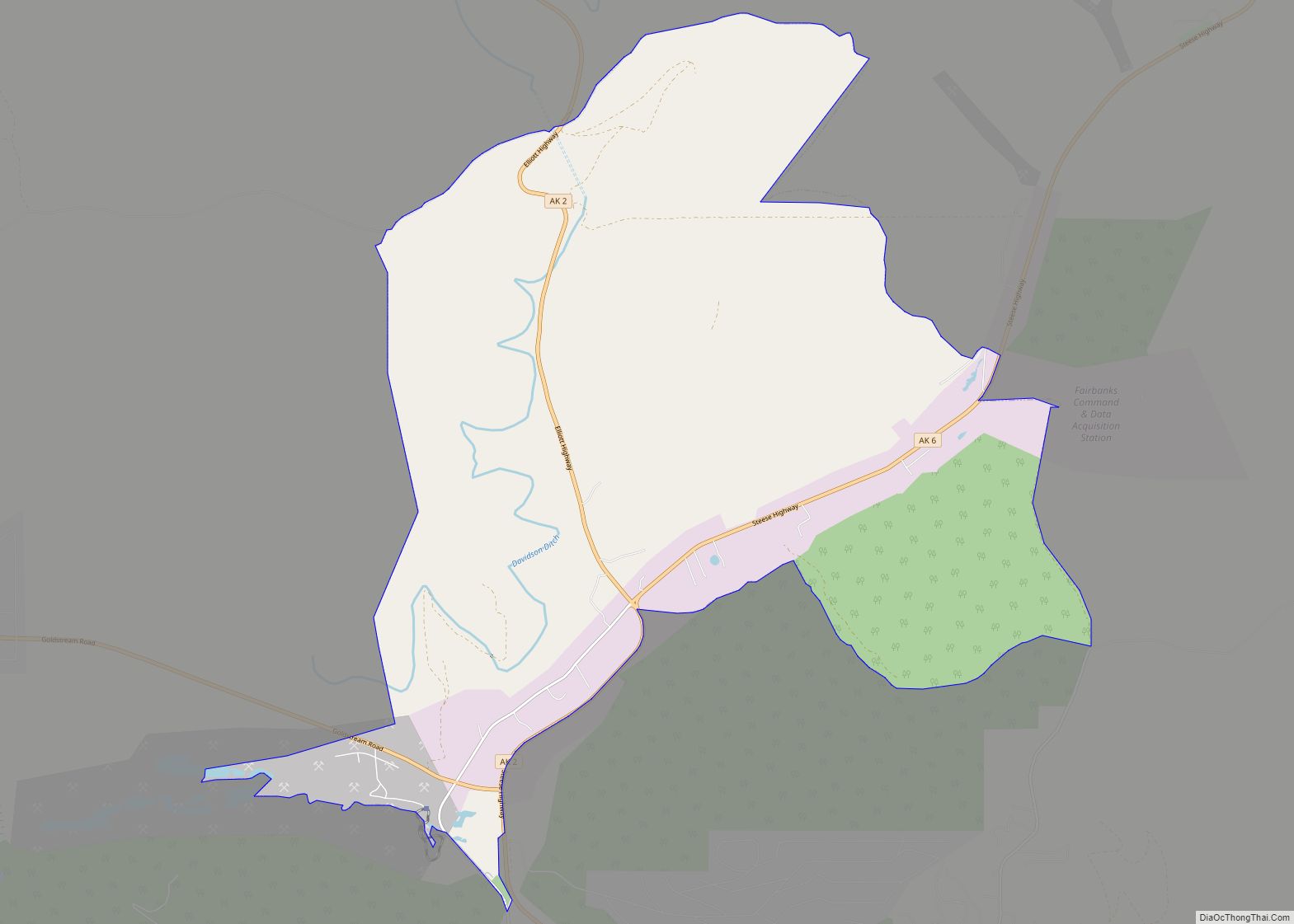
Online Interactive Map
Click on ![]() to view map in "full screen" mode.
to view map in "full screen" mode.
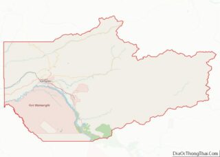
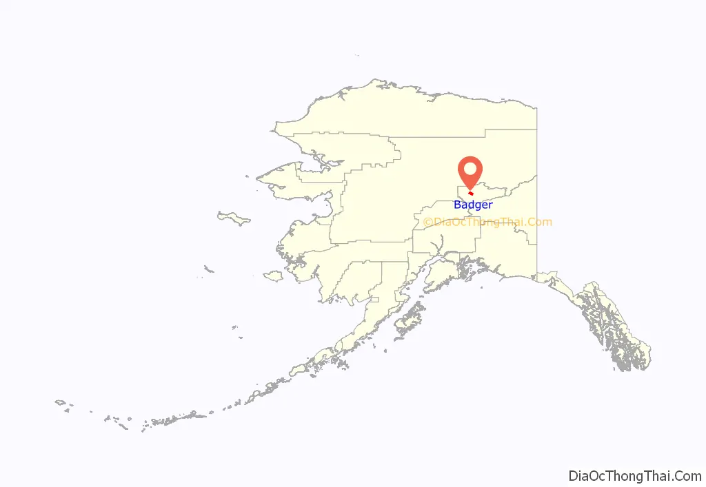
Badger location map. Where is Badger CDP?
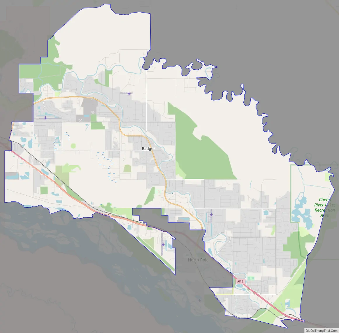
Badger Road Map
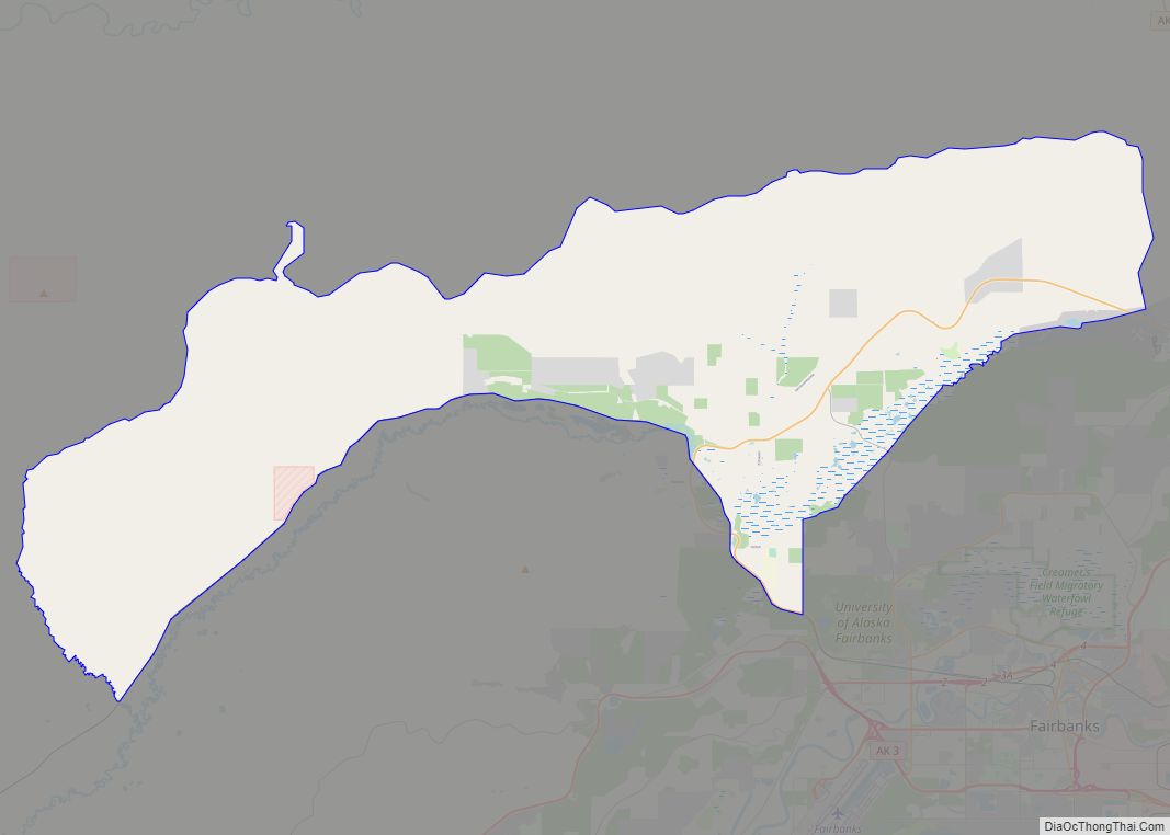
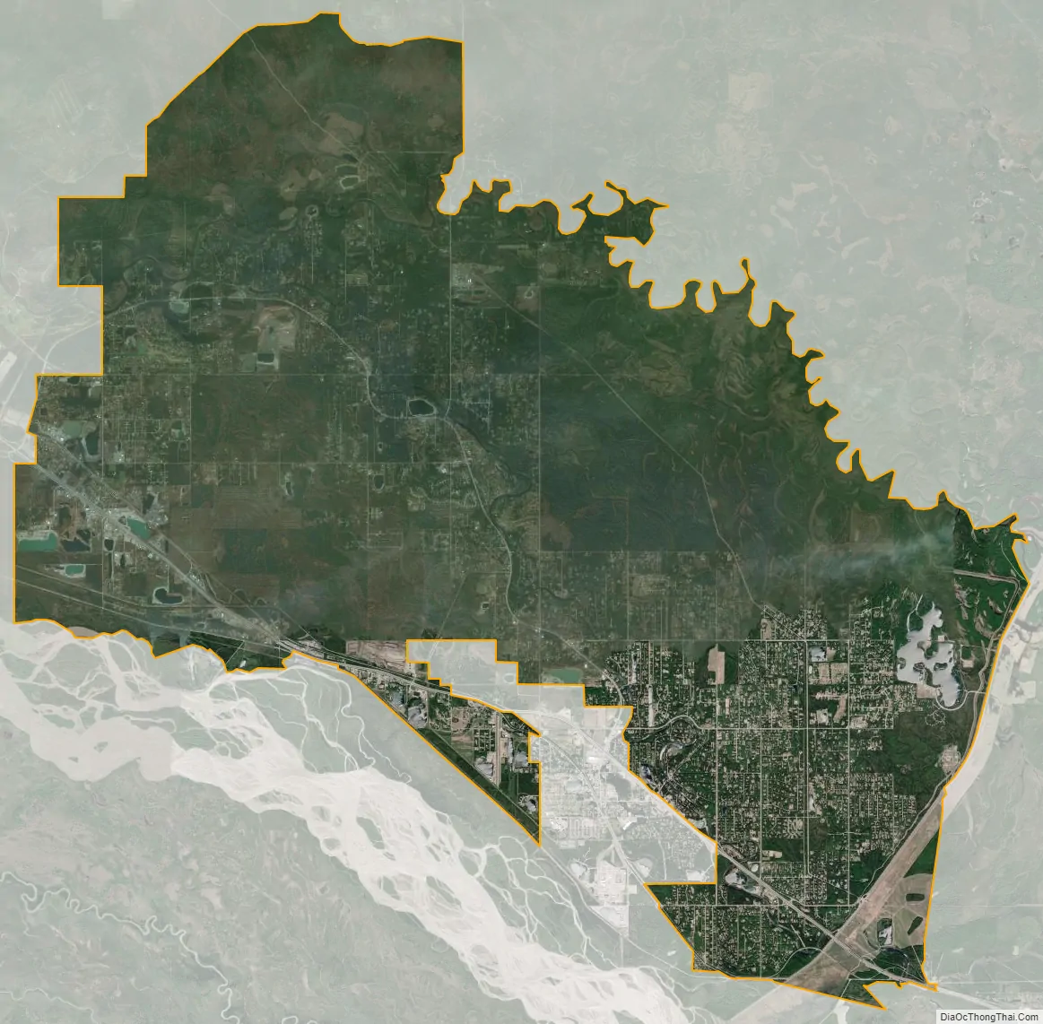
Badger city Satellite Map
See also
Map of Alaska State and its subdivision:- Aleutians East
- Aleutians West
- Anchorage
- Bethel
- Bristol Bay
- Denali
- Dillingham
- Fairbanks North Star
- Haines
- Juneau
- Kenai Peninsula
- Ketchikan Gateway
- Kodiak Island
- Lake and Peninsula
- Matanuska-Susitna
- Nome
- North Slope
- Northwest Arctic
- Prince of Wales-Outer Ketchi
- Sitka
- Skagway-Yakutat-Angoon
- Southeast Fairbanks
- Valdez-Cordova
- Wade Hampton
- Wrangell-Petersburg
- Yukon-Koyukuk
- Alabama
- Alaska
- Arizona
- Arkansas
- California
- Colorado
- Connecticut
- Delaware
- District of Columbia
- Florida
- Georgia
- Hawaii
- Idaho
- Illinois
- Indiana
- Iowa
- Kansas
- Kentucky
- Louisiana
- Maine
- Maryland
- Massachusetts
- Michigan
- Minnesota
- Mississippi
- Missouri
- Montana
- Nebraska
- Nevada
- New Hampshire
- New Jersey
- New Mexico
- New York
- North Carolina
- North Dakota
- Ohio
- Oklahoma
- Oregon
- Pennsylvania
- Rhode Island
- South Carolina
- South Dakota
- Tennessee
- Texas
- Utah
- Vermont
- Virginia
- Washington
- West Virginia
- Wisconsin
- Wyoming