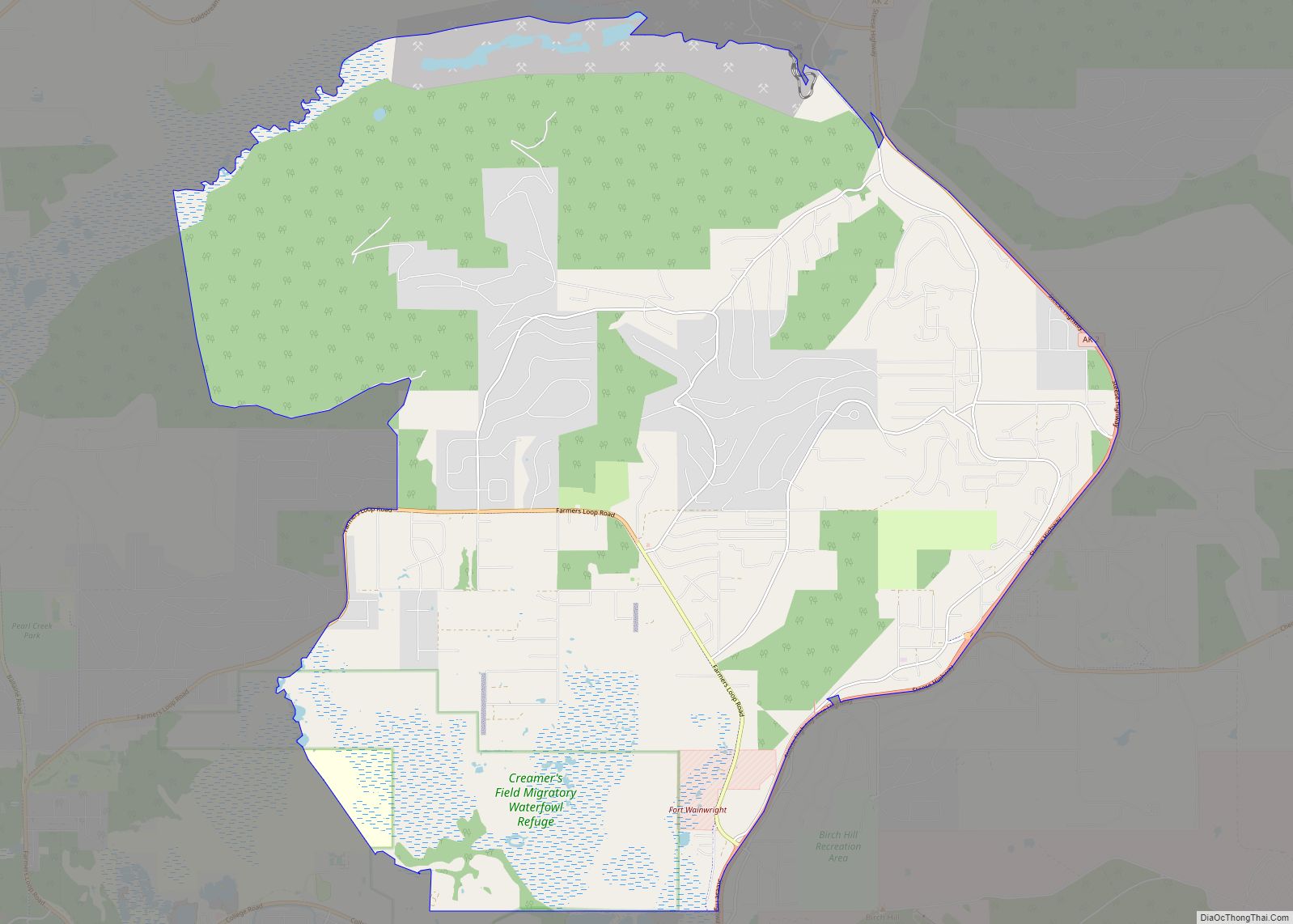
Chena Ridge (Lower Tanana: Khotughee’oden) is a census-designated place (CDP) in Fairbanks North Star Borough, Alaska, United States. It is the location of the former city (1903-73) of Chena, now a ghost town that once rivaled nearby Fairbanks in importance.
One of the new CDPs created in 2010 in Alaska, Chena Ridge is now a western suburb of Fairbanks, located between the George Parks Highway and the Tanana River.
As of the 2020 Census, the population was 6,015, up from 5,791 in 2010. Chena Ridge is the ninth-most populated CDP in Alaska.
| Name: | Chena Ridge CDP |
|---|---|
| LSAD Code: | 57 |
| LSAD Description: | CDP (suffix) |
| State: | Alaska |
| County: | Fairbanks North Star Borough |
| Total Area: | 36.86 sq mi (95.47 km²) |
| Land Area: | 36.45 sq mi (94.41 km²) |
| Water Area: | 0.41 sq mi (1.05 km²) |
| Total Population: | 6,015 |
| Population Density: | 165.01/sq mi (63.71/km²) |
| FIPS code: | 0212920 |
Online Interactive Map
Click on ![]() to view map in "full screen" mode.
to view map in "full screen" mode.
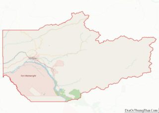
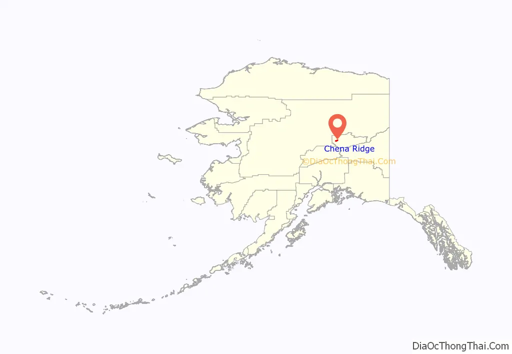
Chena Ridge location map. Where is Chena Ridge CDP?
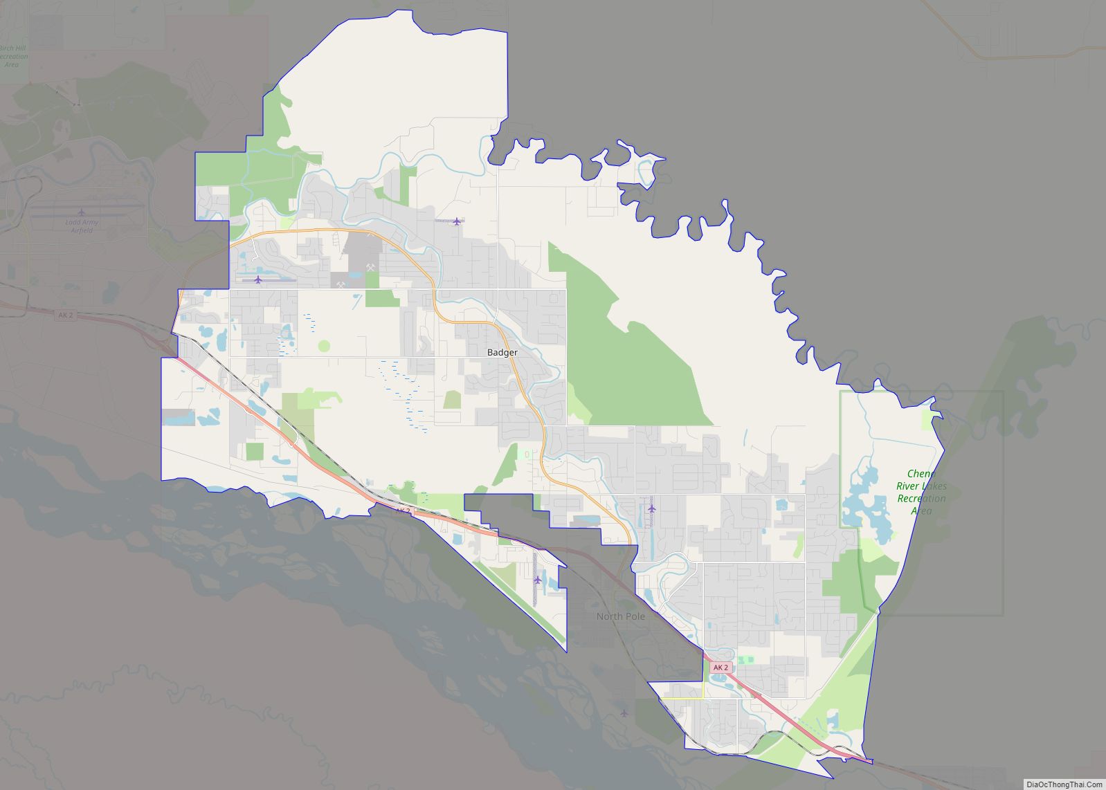
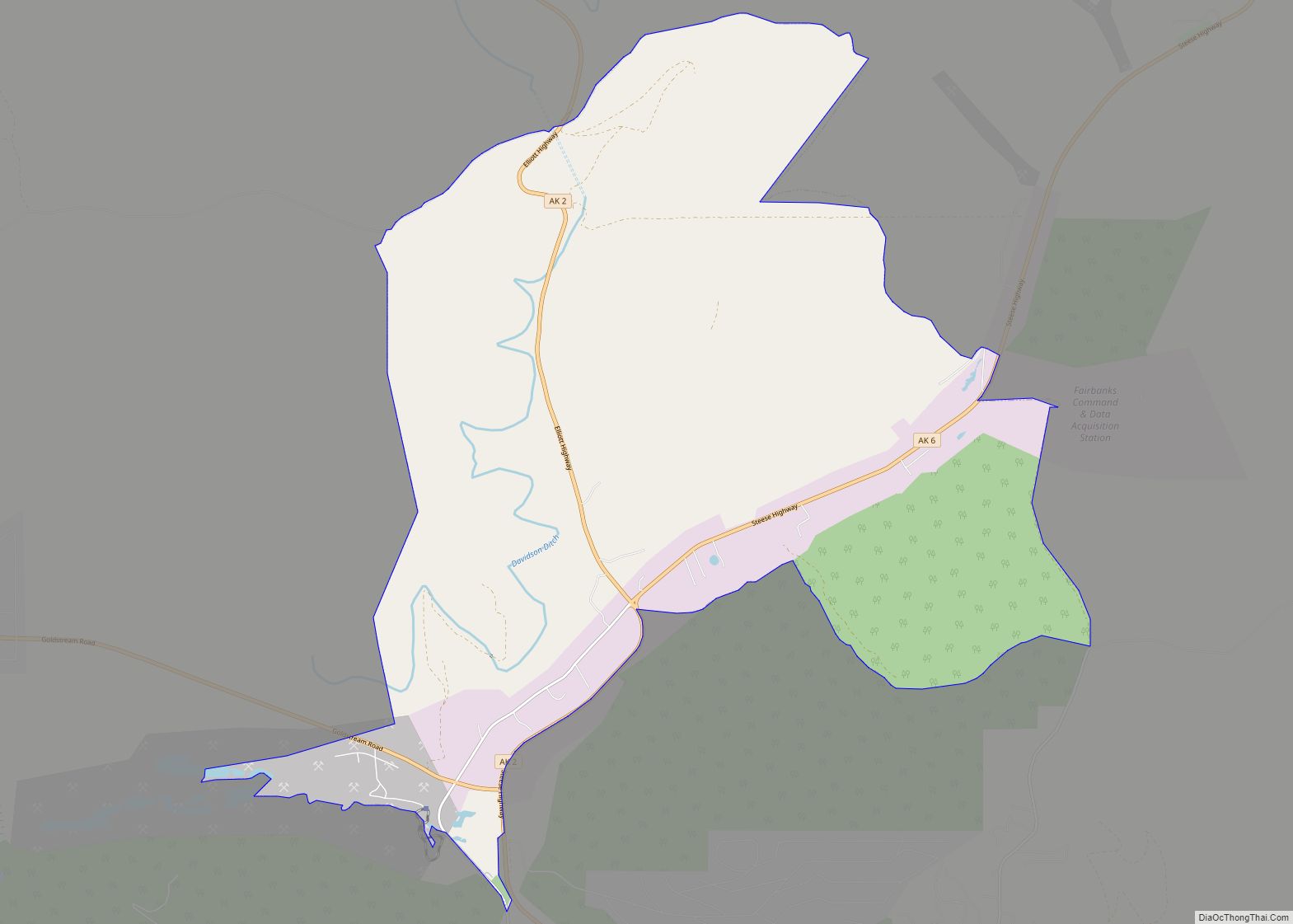
Chena Ridge Road Map
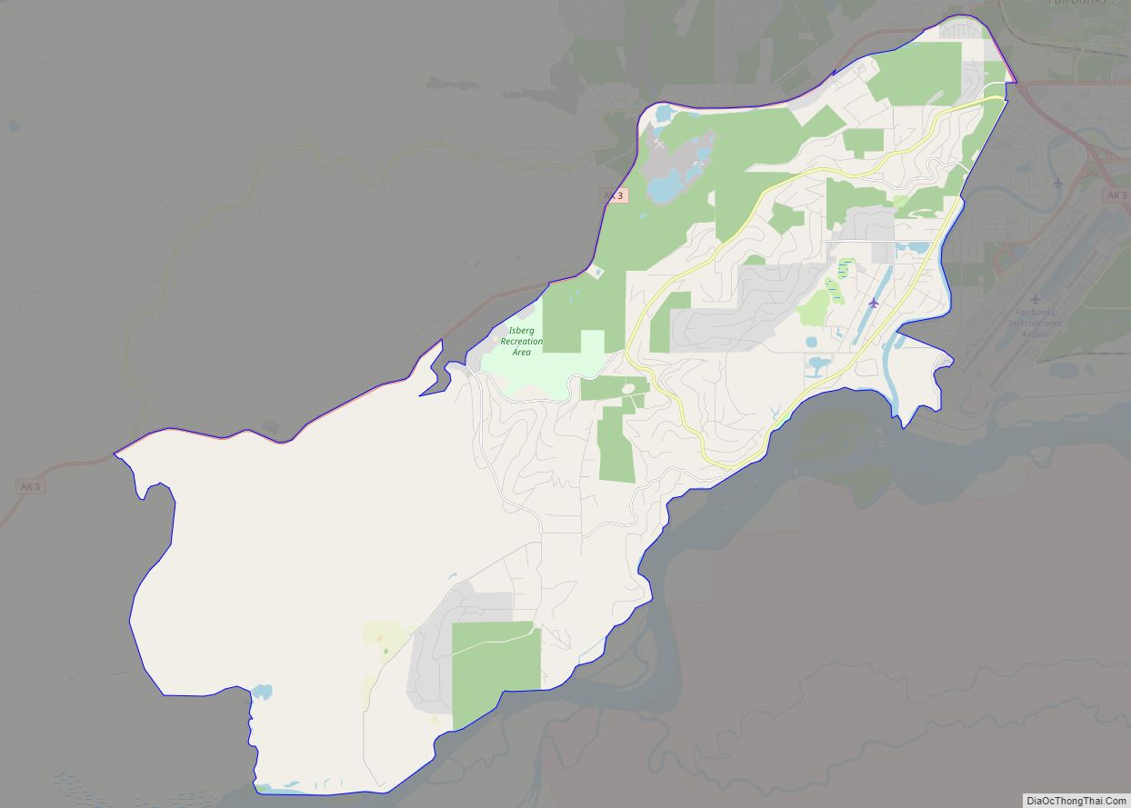
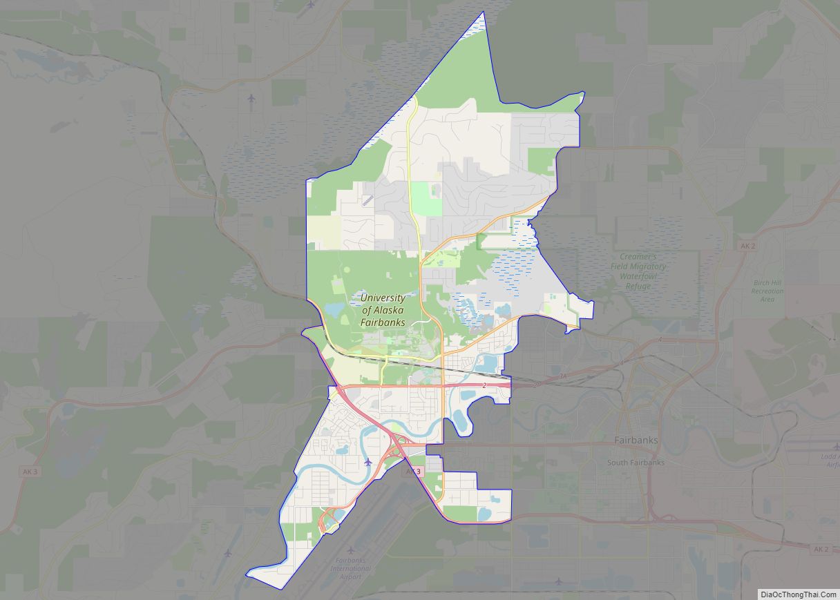
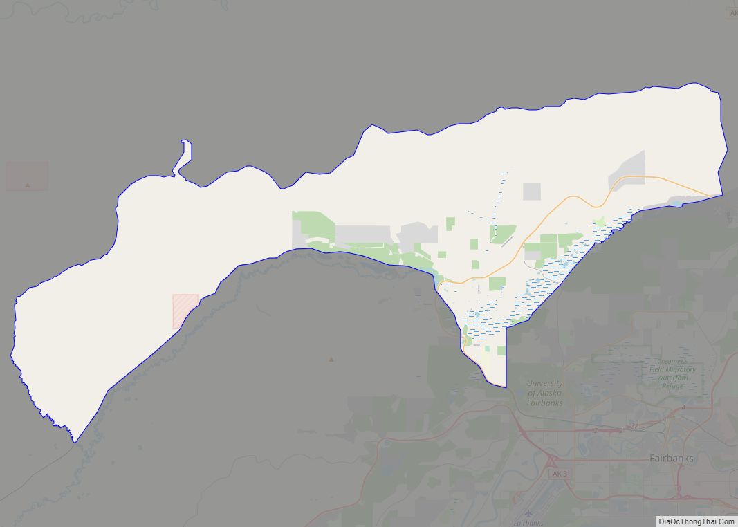
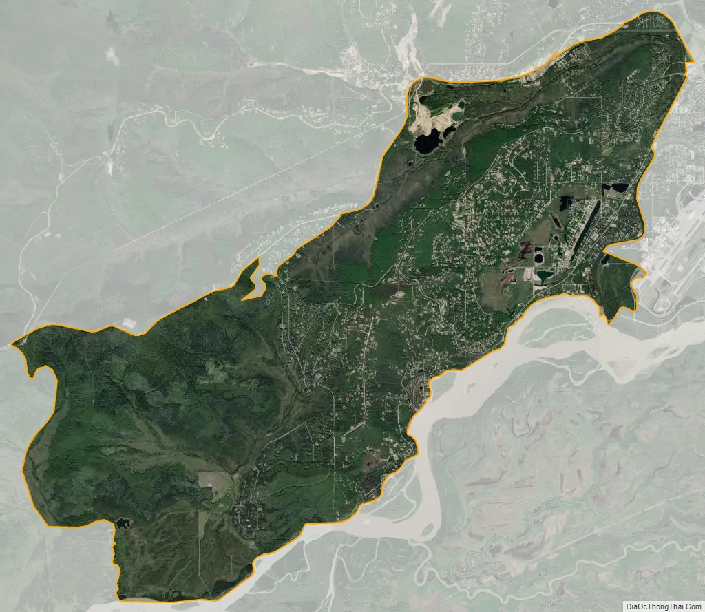
Chena Ridge city Satellite Map
See also
Map of Alaska State and its subdivision:- Aleutians East
- Aleutians West
- Anchorage
- Bethel
- Bristol Bay
- Denali
- Dillingham
- Fairbanks North Star
- Haines
- Juneau
- Kenai Peninsula
- Ketchikan Gateway
- Kodiak Island
- Lake and Peninsula
- Matanuska-Susitna
- Nome
- North Slope
- Northwest Arctic
- Prince of Wales-Outer Ketchi
- Sitka
- Skagway-Yakutat-Angoon
- Southeast Fairbanks
- Valdez-Cordova
- Wade Hampton
- Wrangell-Petersburg
- Yukon-Koyukuk
- Alabama
- Alaska
- Arizona
- Arkansas
- California
- Colorado
- Connecticut
- Delaware
- District of Columbia
- Florida
- Georgia
- Hawaii
- Idaho
- Illinois
- Indiana
- Iowa
- Kansas
- Kentucky
- Louisiana
- Maine
- Maryland
- Massachusetts
- Michigan
- Minnesota
- Mississippi
- Missouri
- Montana
- Nebraska
- Nevada
- New Hampshire
- New Jersey
- New Mexico
- New York
- North Carolina
- North Dakota
- Ohio
- Oklahoma
- Oregon
- Pennsylvania
- Rhode Island
- South Carolina
- South Dakota
- Tennessee
- Texas
- Utah
- Vermont
- Virginia
- Washington
- West Virginia
- Wisconsin
- Wyoming