College (Lower Tanana: Trothyeddha’) is a census-designated place (CDP) in Fairbanks North Star Borough, Alaska, United States. It is part of the Fairbanks, Alaska Metropolitan Statistical Area. As of the 2020 census, the population was 11,332, down from 12,964 in 2010. College is the third-most populated CDP in Alaska.
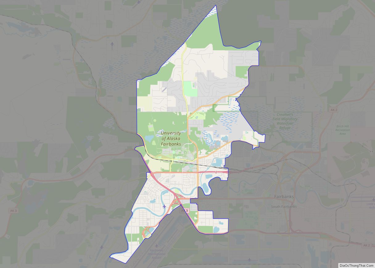
College is adjacent to the city of Fairbanks. The University of Alaska Fairbanks lies within its boundaries and serves as its core. The area is often referred to as part of Fairbanks, and not as a separate entity. The area is served by the University of Alaska Fairbanks for fire protection and ambulance service, and jointly by the University of Alaska Fairbanks Police Department and Alaska State Troopers for police protection.
| Name: | College CDP |
|---|---|
| LSAD Code: | 57 |
| LSAD Description: | CDP (suffix) |
| State: | Alaska |
| County: | Fairbanks North Star Borough |
| Elevation: | 449 ft (137 m) |
| Total Area: | 19.12 sq mi (49.53 km²) |
| Land Area: | 18.71 sq mi (48.46 km²) |
| Water Area: | 0.41 sq mi (1.07 km²) |
| Total Population: | 11,332 |
| Population Density: | 605.60/sq mi (233.82/km²) |
| ZIP code: | 99709 |
| Area code: | 907 |
| FIPS code: | 0216750 |
| GNISfeature ID: | 1400578 |
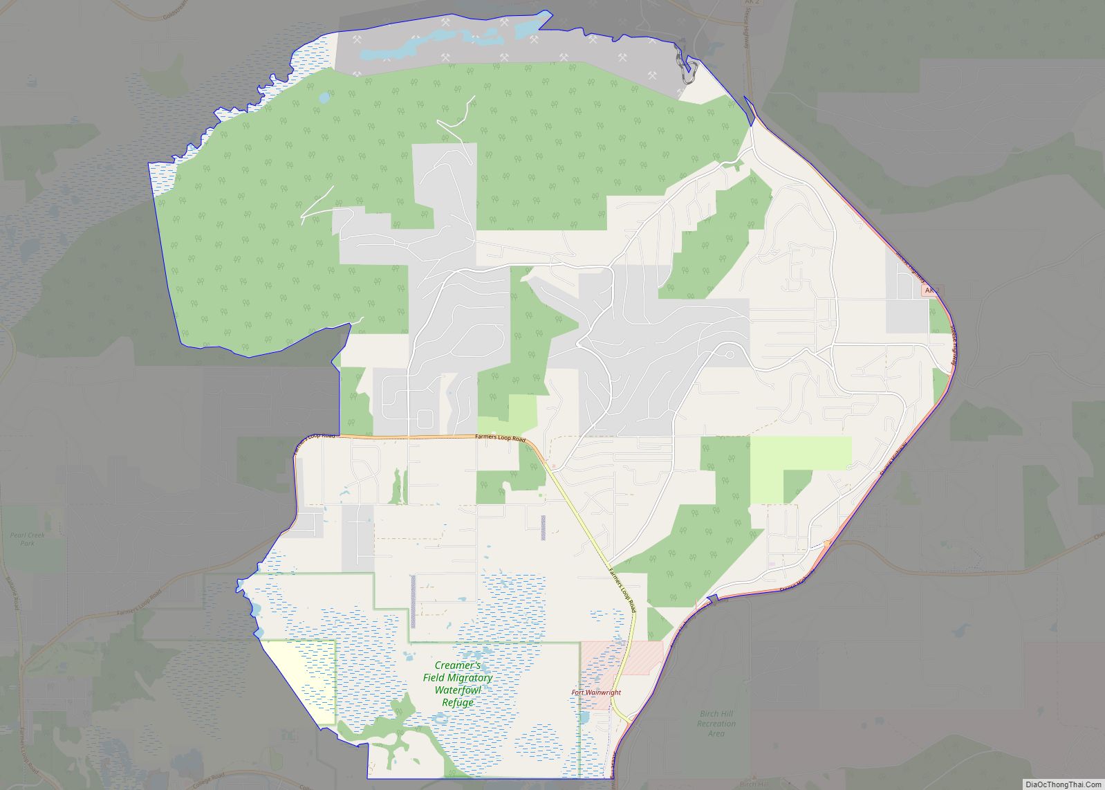
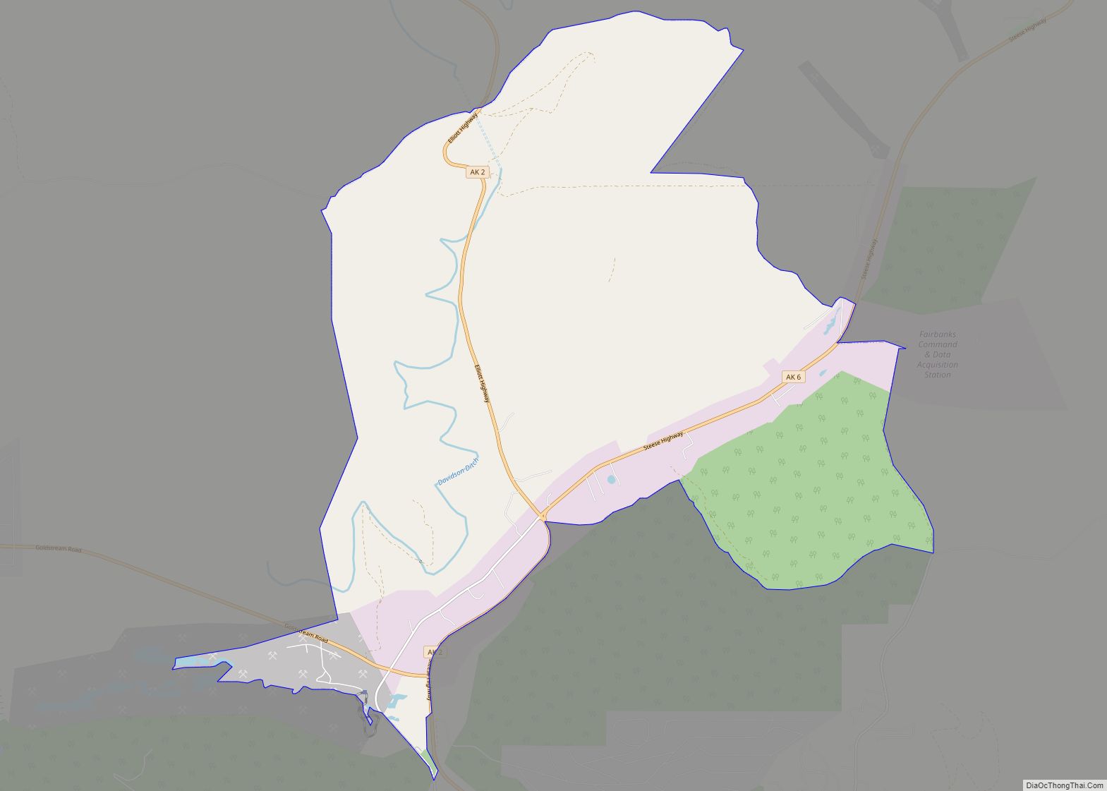
Online Interactive Map
Click on ![]() to view map in "full screen" mode.
to view map in "full screen" mode.
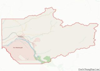
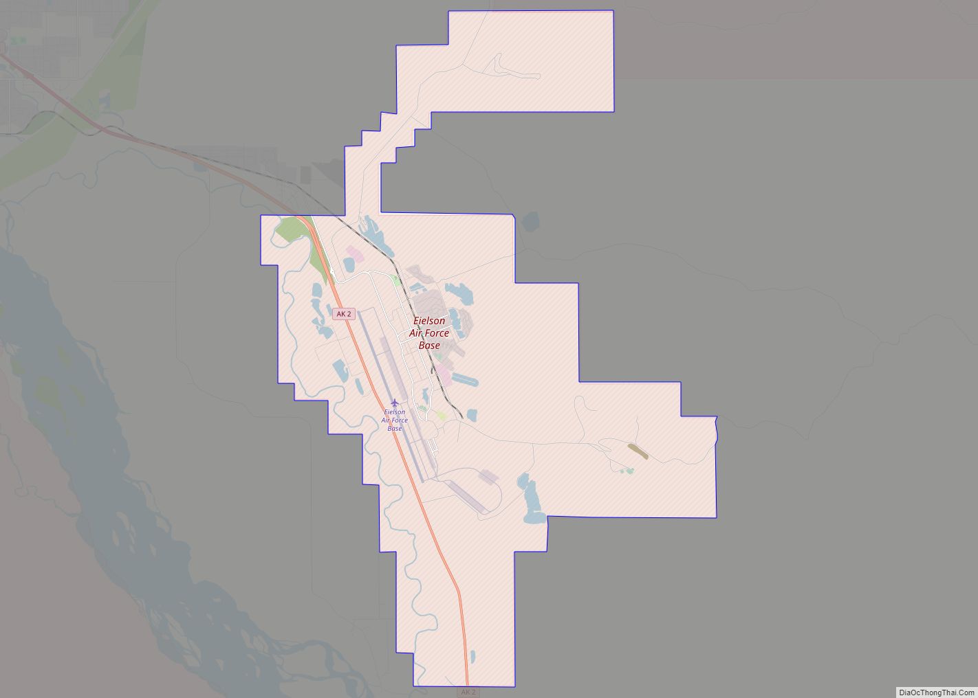
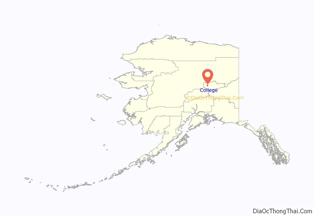
College location map. Where is College CDP?
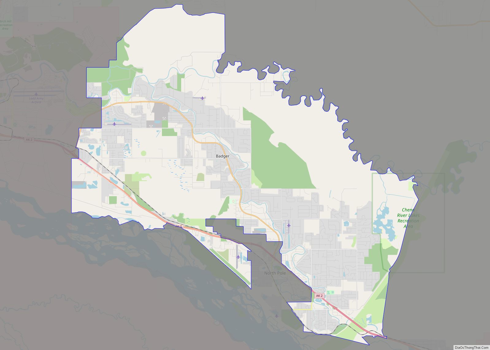
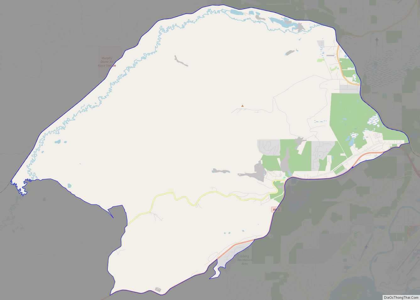
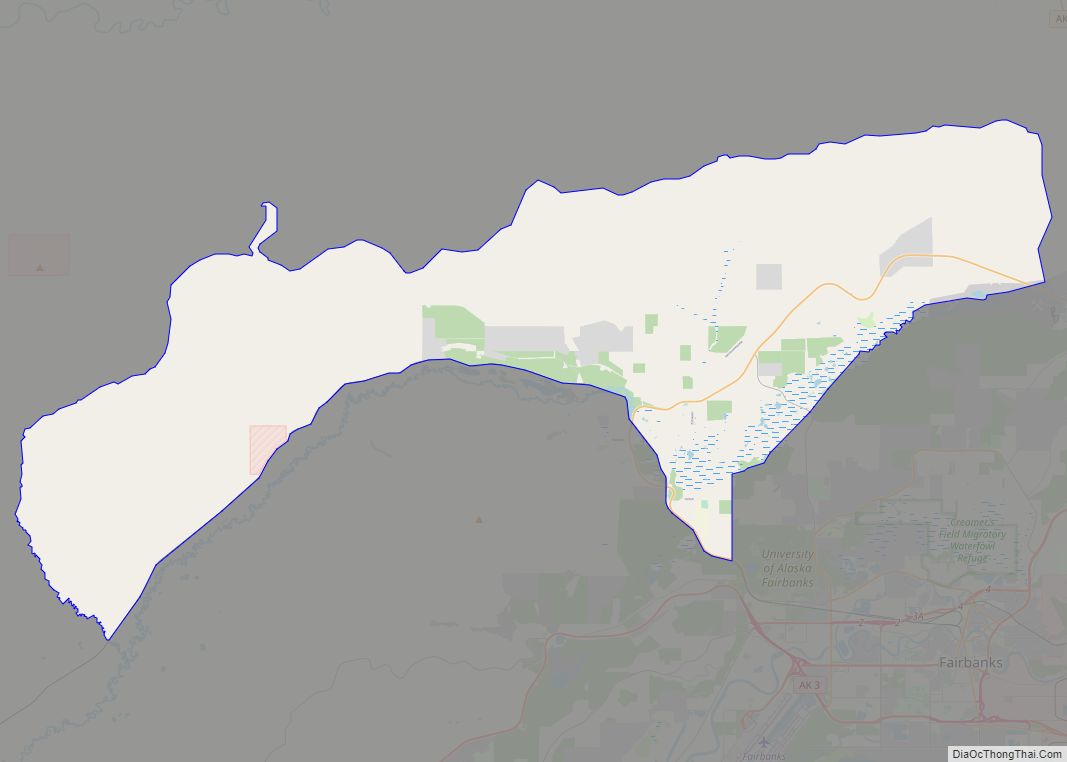
College Road Map
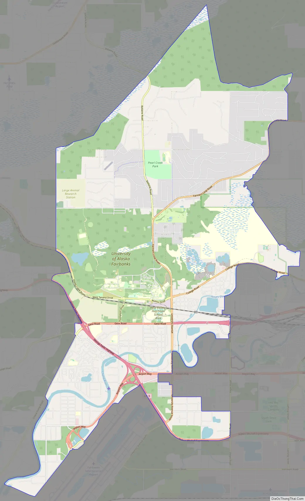
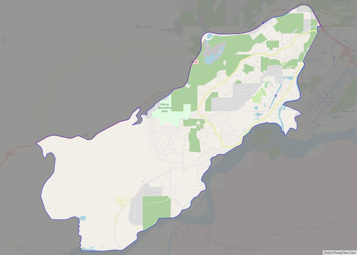
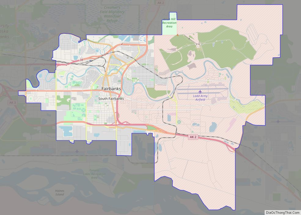
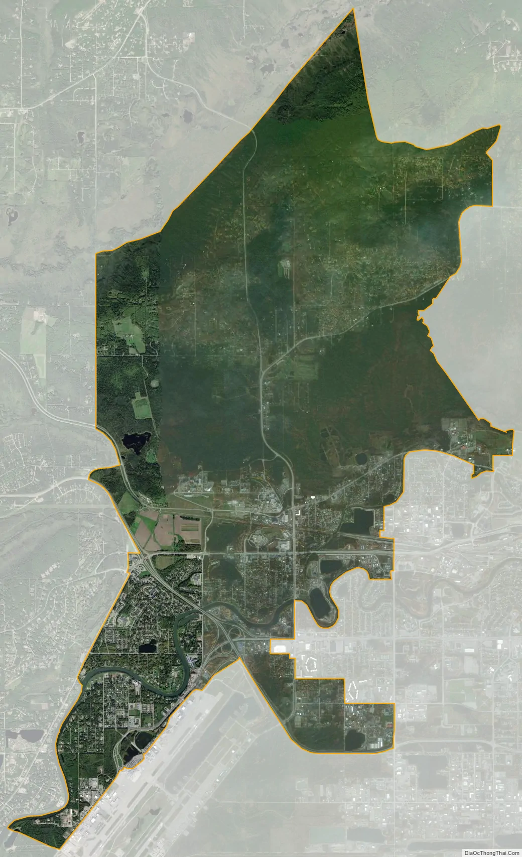
College city Satellite Map
Geography
College is located at 64°50′54″N 147°49′38″W / 64.84833°N 147.82722°W / 64.84833; -147.82722 (64.848302, -147.827194).
According to the United States Census Bureau, the CDP has a total area of 19.1 square miles (49 km), of which 18.7 square miles (48 km) is land and 0.4 square miles (1.0 km) (2.15%) is water.
Climate
According to the Köppen Climate Classification system, College has a subarctic climate, abbreviated “Dfc” on climate maps. The hottest temperature recorded in College was 94 °F (34.4 °C) on June 16, 1969, June 26, 1983, and June 22, 1991, while the coldest temperature recorded was −66 °F (−54.4 °C) on December 28, 1961.
See also
Map of Alaska State and its subdivision:- Aleutians East
- Aleutians West
- Anchorage
- Bethel
- Bristol Bay
- Denali
- Dillingham
- Fairbanks North Star
- Haines
- Juneau
- Kenai Peninsula
- Ketchikan Gateway
- Kodiak Island
- Lake and Peninsula
- Matanuska-Susitna
- Nome
- North Slope
- Northwest Arctic
- Prince of Wales-Outer Ketchi
- Sitka
- Skagway-Yakutat-Angoon
- Southeast Fairbanks
- Valdez-Cordova
- Wade Hampton
- Wrangell-Petersburg
- Yukon-Koyukuk
- Alabama
- Alaska
- Arizona
- Arkansas
- California
- Colorado
- Connecticut
- Delaware
- District of Columbia
- Florida
- Georgia
- Hawaii
- Idaho
- Illinois
- Indiana
- Iowa
- Kansas
- Kentucky
- Louisiana
- Maine
- Maryland
- Massachusetts
- Michigan
- Minnesota
- Mississippi
- Missouri
- Montana
- Nebraska
- Nevada
- New Hampshire
- New Jersey
- New Mexico
- New York
- North Carolina
- North Dakota
- Ohio
- Oklahoma
- Oregon
- Pennsylvania
- Rhode Island
- South Carolina
- South Dakota
- Tennessee
- Texas
- Utah
- Vermont
- Virginia
- Washington
- West Virginia
- Wisconsin
- Wyoming