Egegik (Central Yupik: Igyagiiq; Sugpiaq: Igya’iq, Igyagiq) is a city in Lake and Peninsula Borough, Alaska, United States. As of the 2020 census, the population of the city is 39, down from 109 in 2010. It has been home to cannery operations. If the city’s population somehow exploded in the decades to come, it will potentially become the new borough seat of Lake and Peninsula Borough replacing King Salmon.
| Name: | Egegik city |
|---|---|
| LSAD Code: | 25 |
| LSAD Description: | city (suffix) |
| State: | Alaska |
| County: | Lake and Peninsula Borough |
| Incorporated: | 1995 |
| Elevation: | 13 ft (4 m) |
| Total Area: | 128.50 sq mi (332.82 km²) |
| Land Area: | 29.55 sq mi (76.54 km²) |
| Water Area: | 98.95 sq mi (256.29 km²) |
| Total Population: | 39 |
| Population Density: | 1.32/sq mi (0.51/km²) |
| ZIP code: | 99579 |
| Area code: | 907 |
| FIPS code: | 0221150 |
| GNISfeature ID: | 1401686 |
Online Interactive Map
Click on ![]() to view map in "full screen" mode.
to view map in "full screen" mode.
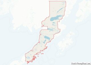
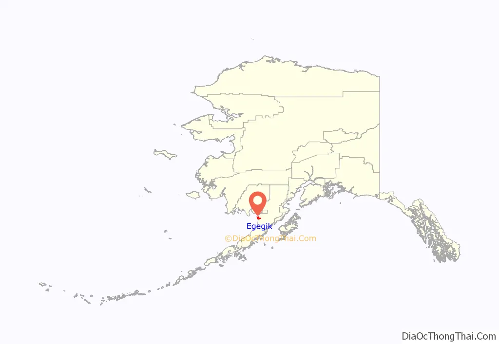
Egegik location map. Where is Egegik city?
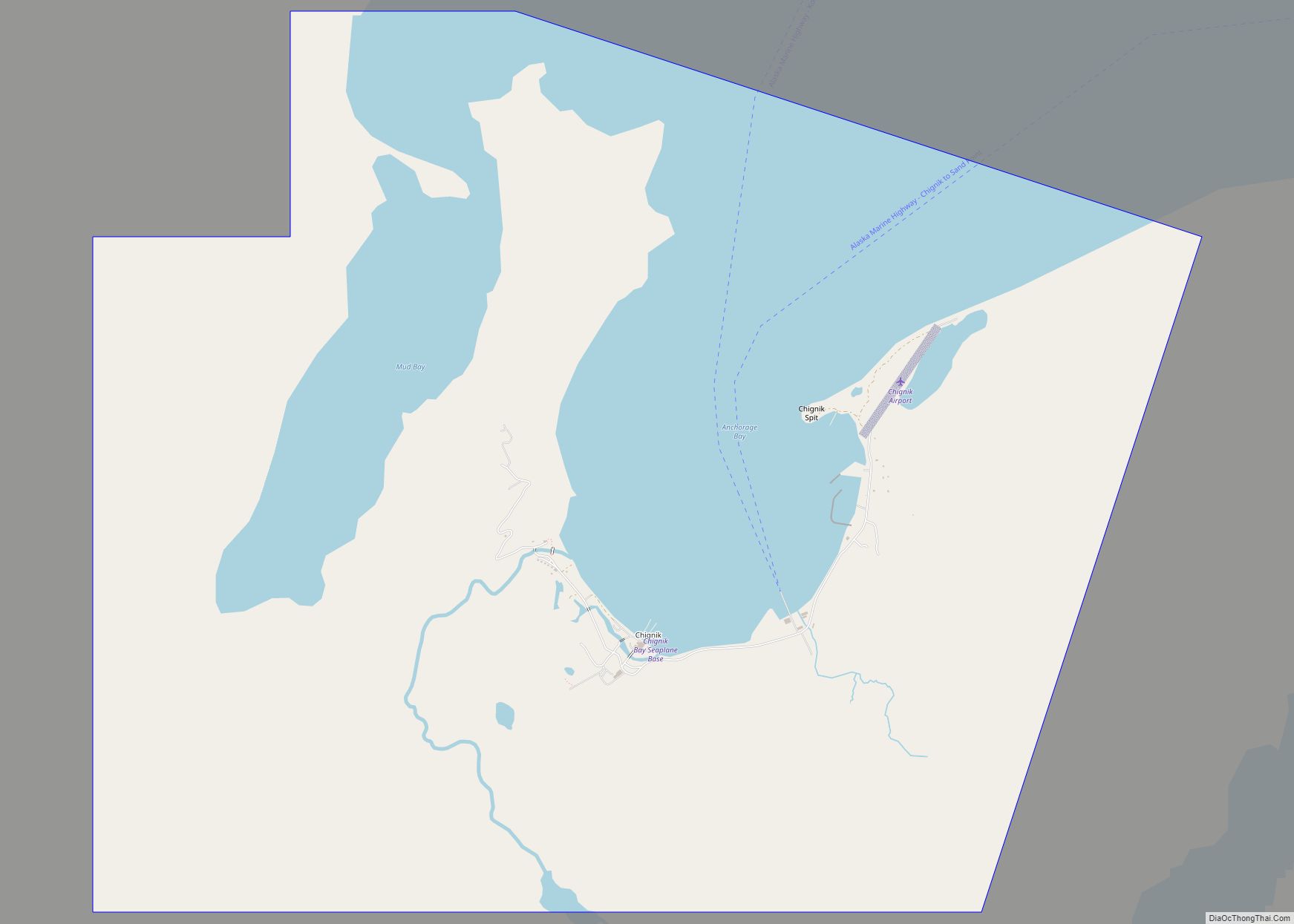
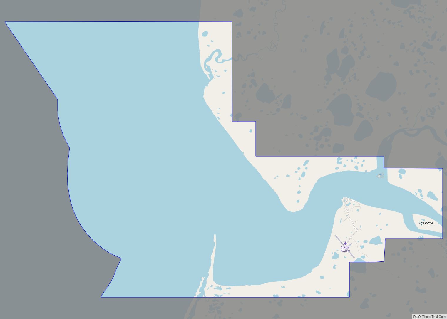
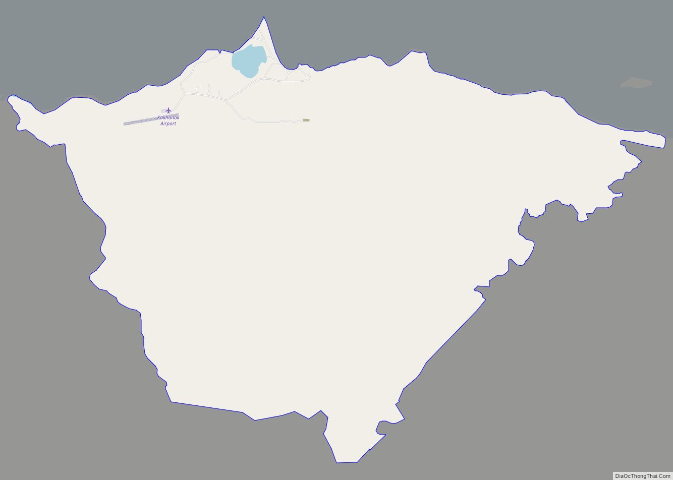
Egegik Road Map
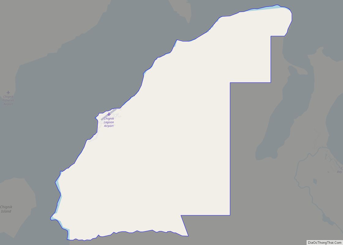
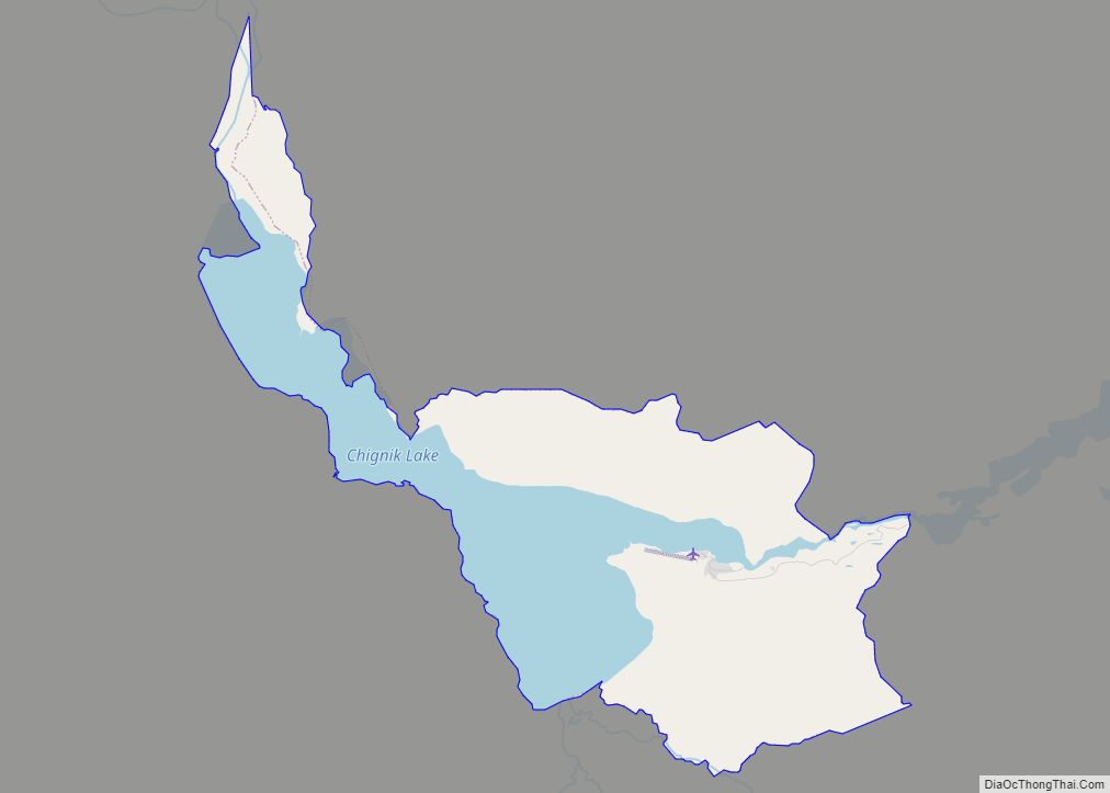
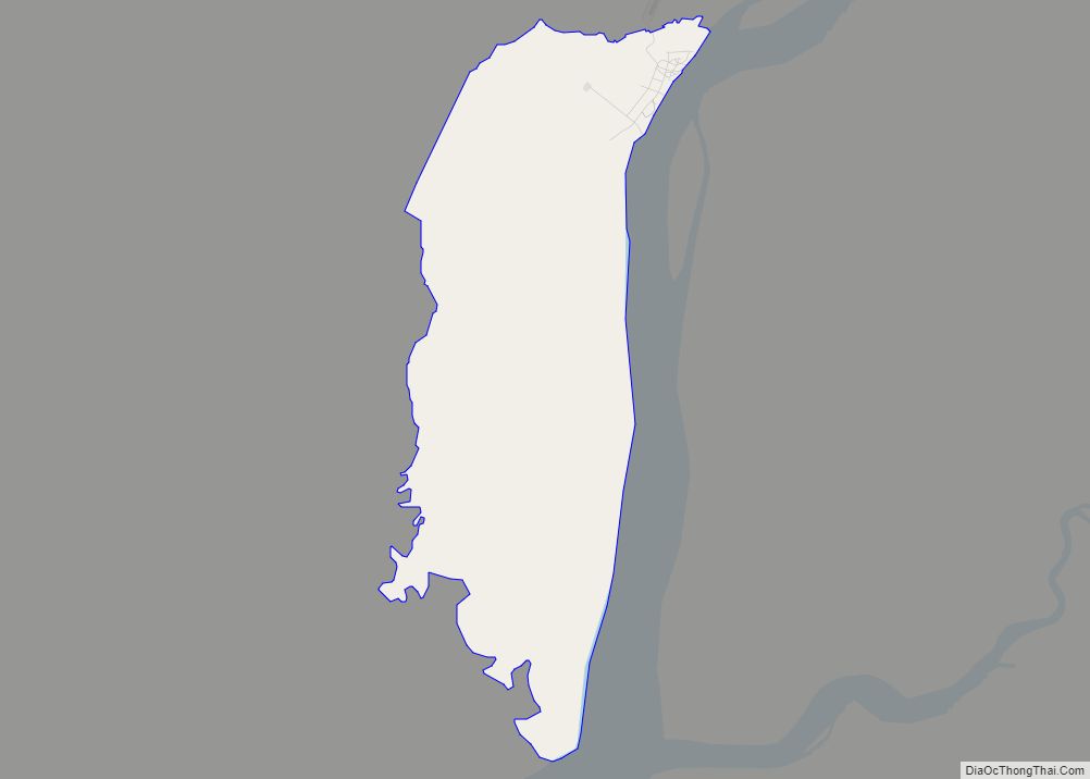
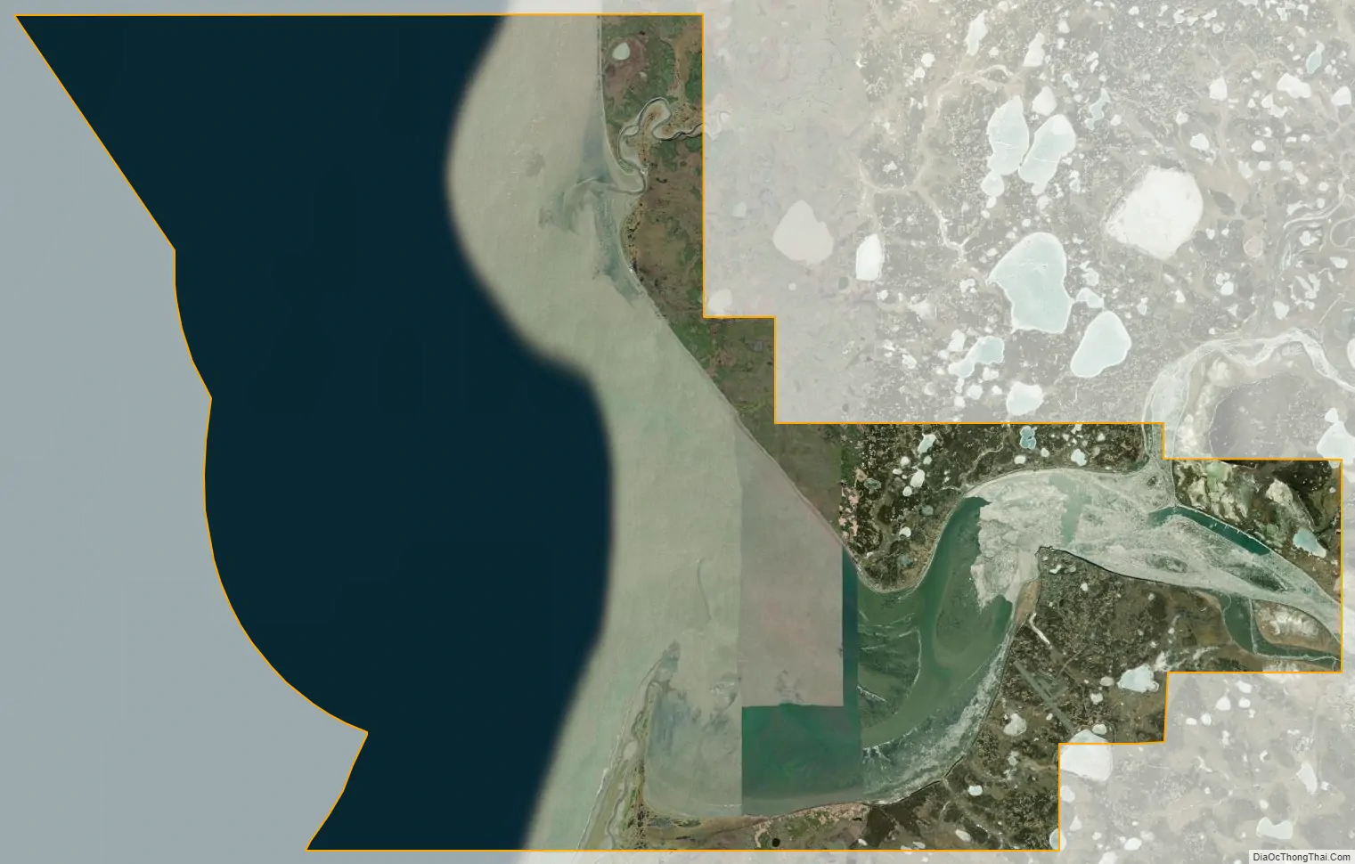
Egegik city Satellite Map
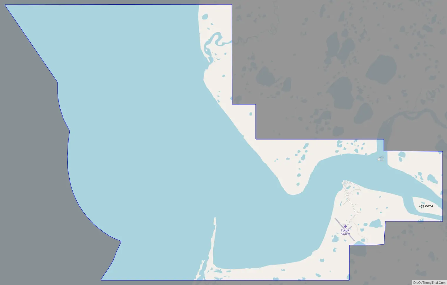
Geography
Egegik is at 58°13′9″N 157°21′29″W / 58.21917°N 157.35806°W / 58.21917; -157.35806 (58.219292, -157.357989) on the eastern shores of both Bristol Bay and, more locally, of Egegik Bay. The village is on a high bluff along the southern shore of the Egegik River at the upper extent of Egegik Bay.
According to the United States Census Bureau, the city has an area of 134.0 square miles (347 km), of which, 32.8 square miles (85 km) is land and 101.2 square miles (262 km) (75.54%) is water.
See also
Map of Alaska State and its subdivision:- Aleutians East
- Aleutians West
- Anchorage
- Bethel
- Bristol Bay
- Denali
- Dillingham
- Fairbanks North Star
- Haines
- Juneau
- Kenai Peninsula
- Ketchikan Gateway
- Kodiak Island
- Lake and Peninsula
- Matanuska-Susitna
- Nome
- North Slope
- Northwest Arctic
- Prince of Wales-Outer Ketchi
- Sitka
- Skagway-Yakutat-Angoon
- Southeast Fairbanks
- Valdez-Cordova
- Wade Hampton
- Wrangell-Petersburg
- Yukon-Koyukuk
- Alabama
- Alaska
- Arizona
- Arkansas
- California
- Colorado
- Connecticut
- Delaware
- District of Columbia
- Florida
- Georgia
- Hawaii
- Idaho
- Illinois
- Indiana
- Iowa
- Kansas
- Kentucky
- Louisiana
- Maine
- Maryland
- Massachusetts
- Michigan
- Minnesota
- Mississippi
- Missouri
- Montana
- Nebraska
- Nevada
- New Hampshire
- New Jersey
- New Mexico
- New York
- North Carolina
- North Dakota
- Ohio
- Oklahoma
- Oregon
- Pennsylvania
- Rhode Island
- South Carolina
- South Dakota
- Tennessee
- Texas
- Utah
- Vermont
- Virginia
- Washington
- West Virginia
- Wisconsin
- Wyoming