Eureka Roadhouse is a census-designated place (CDP) in the Matanuska-Susitna Borough in the U.S. state of Alaska. It is part of the Anchorage Metropolitan Area. The population was 24 at the 2020 census.
| Name: | Eureka Roadhouse CDP |
|---|---|
| LSAD Code: | 57 |
| LSAD Description: | CDP (suffix) |
| State: | Alaska |
| County: | Matanuska-Susitna Borough |
| Elevation: | 3,287 ft (1,002 m) |
| Total Area: | 187.34 sq mi (485.20 km²) |
| Land Area: | 185.78 sq mi (481.17 km²) |
| Water Area: | 1.56 sq mi (4.03 km²) |
| Total Population: | 24 |
| Population Density: | 0.13/sq mi (0.05/km²) |
| Area code: | 907 |
| FIPS code: | 0223720 |
Online Interactive Map
Click on ![]() to view map in "full screen" mode.
to view map in "full screen" mode.
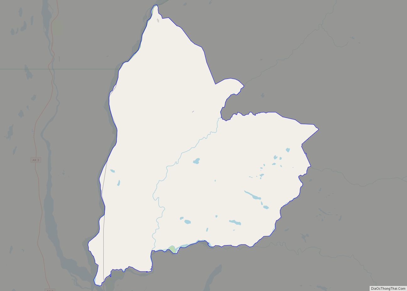
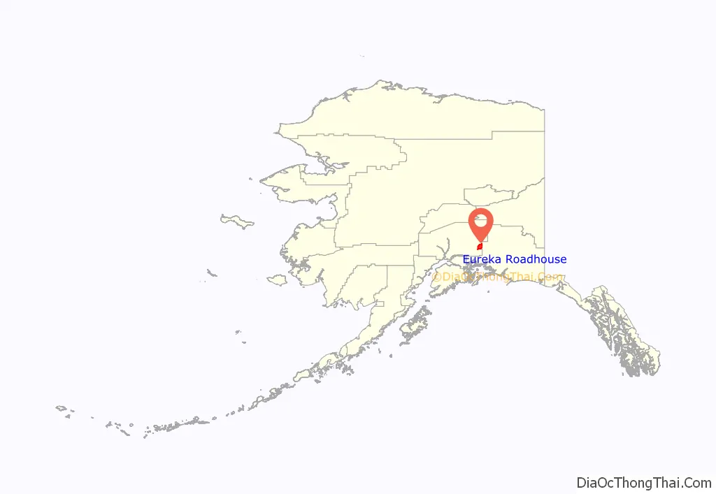
Eureka Roadhouse location map. Where is Eureka Roadhouse CDP?
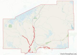
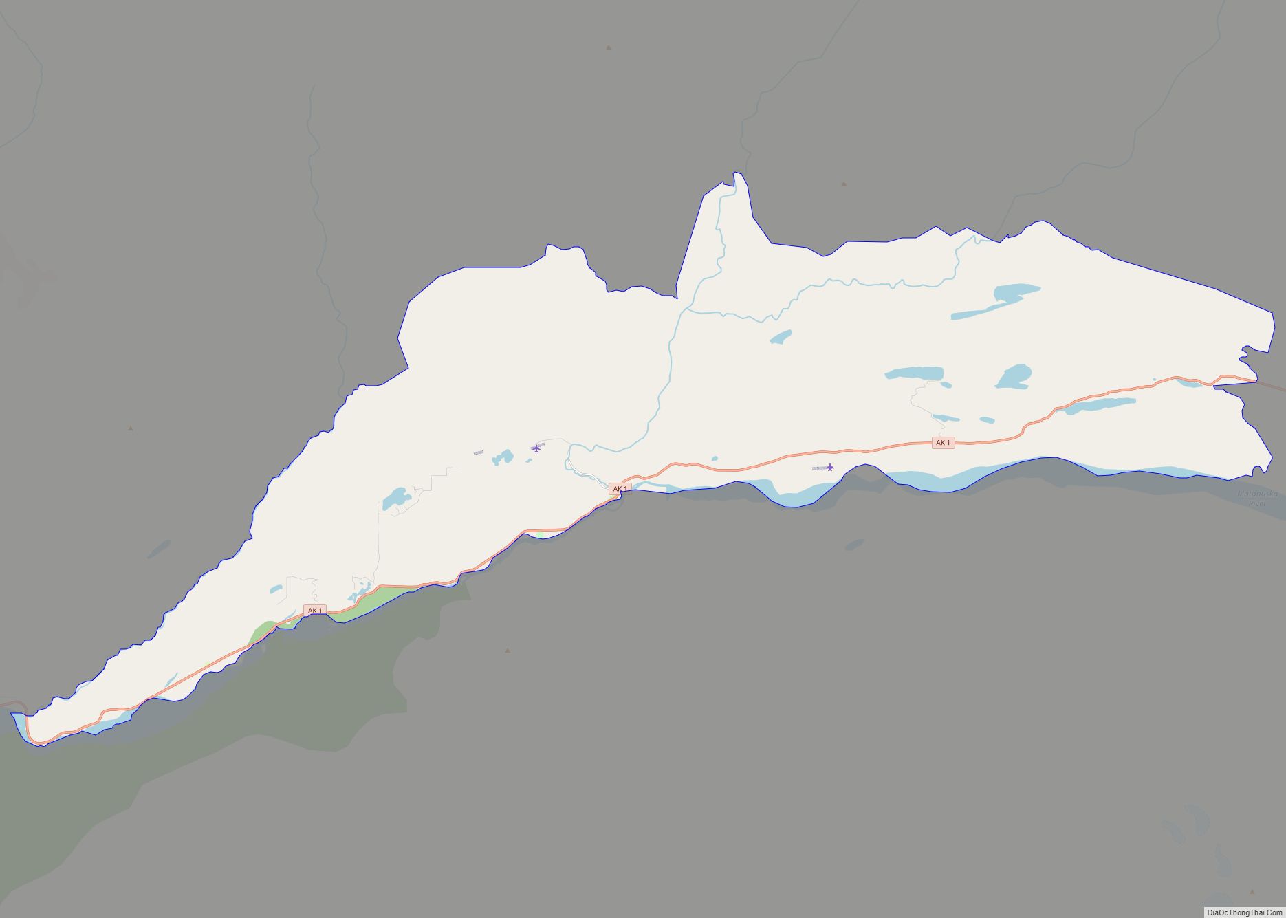
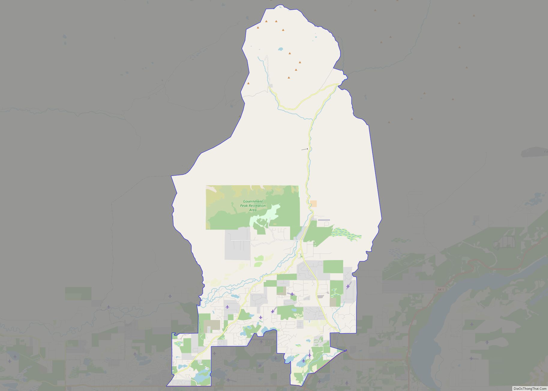
Eureka Roadhouse Road Map
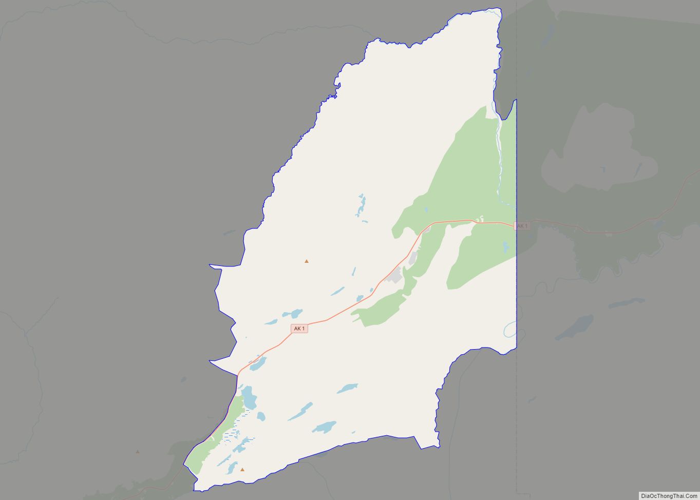
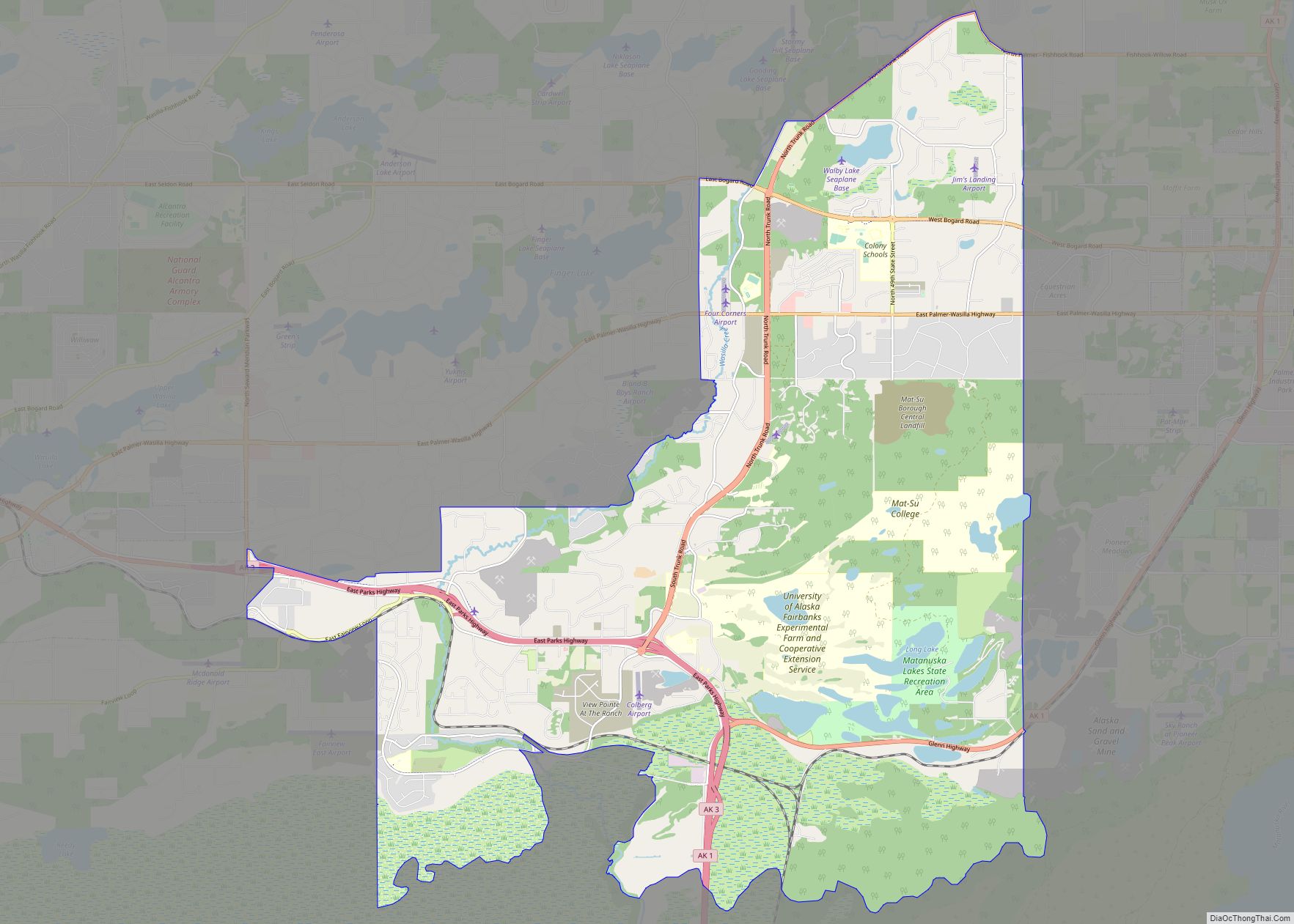
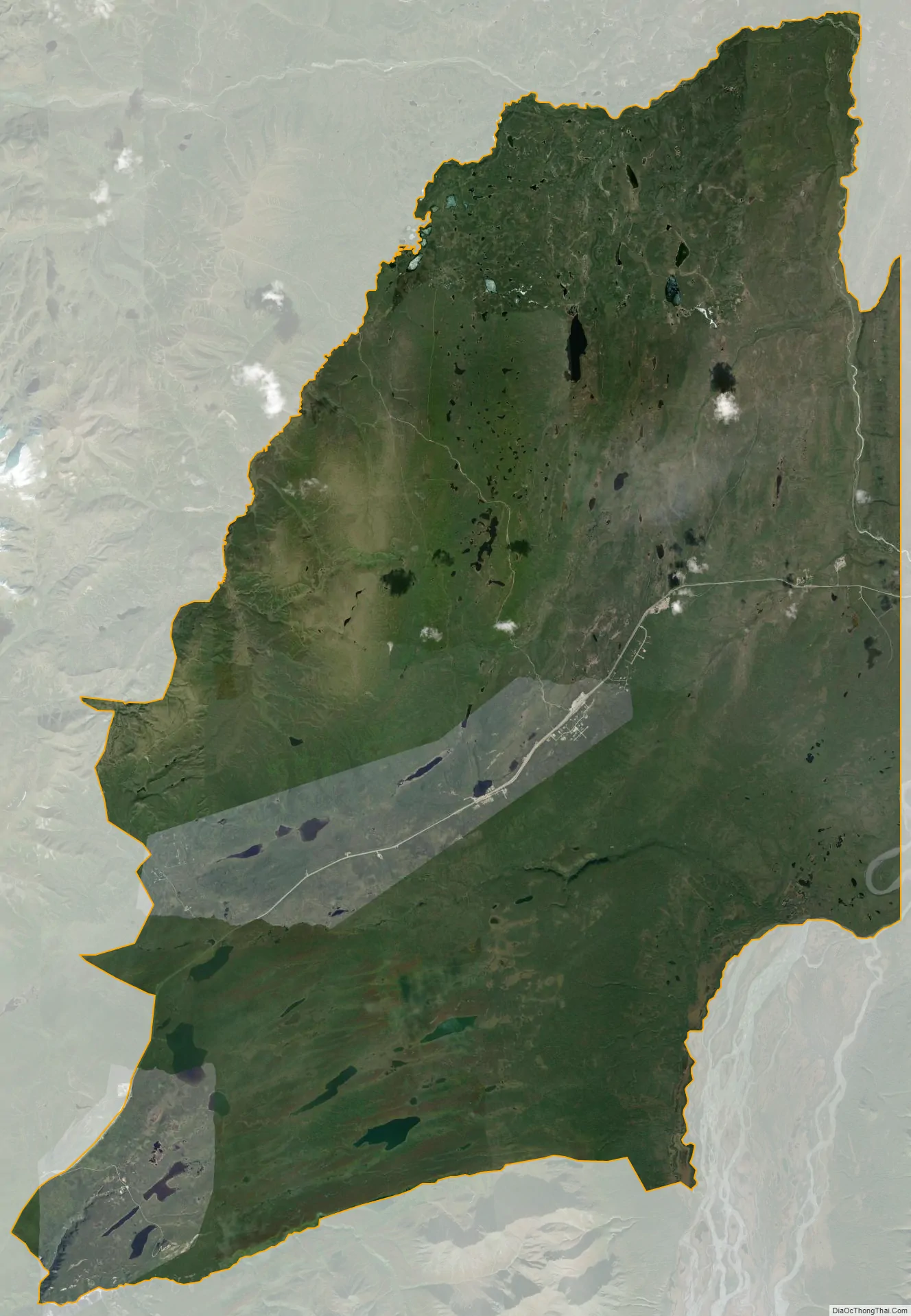
Eureka Roadhouse city Satellite Map
Geography
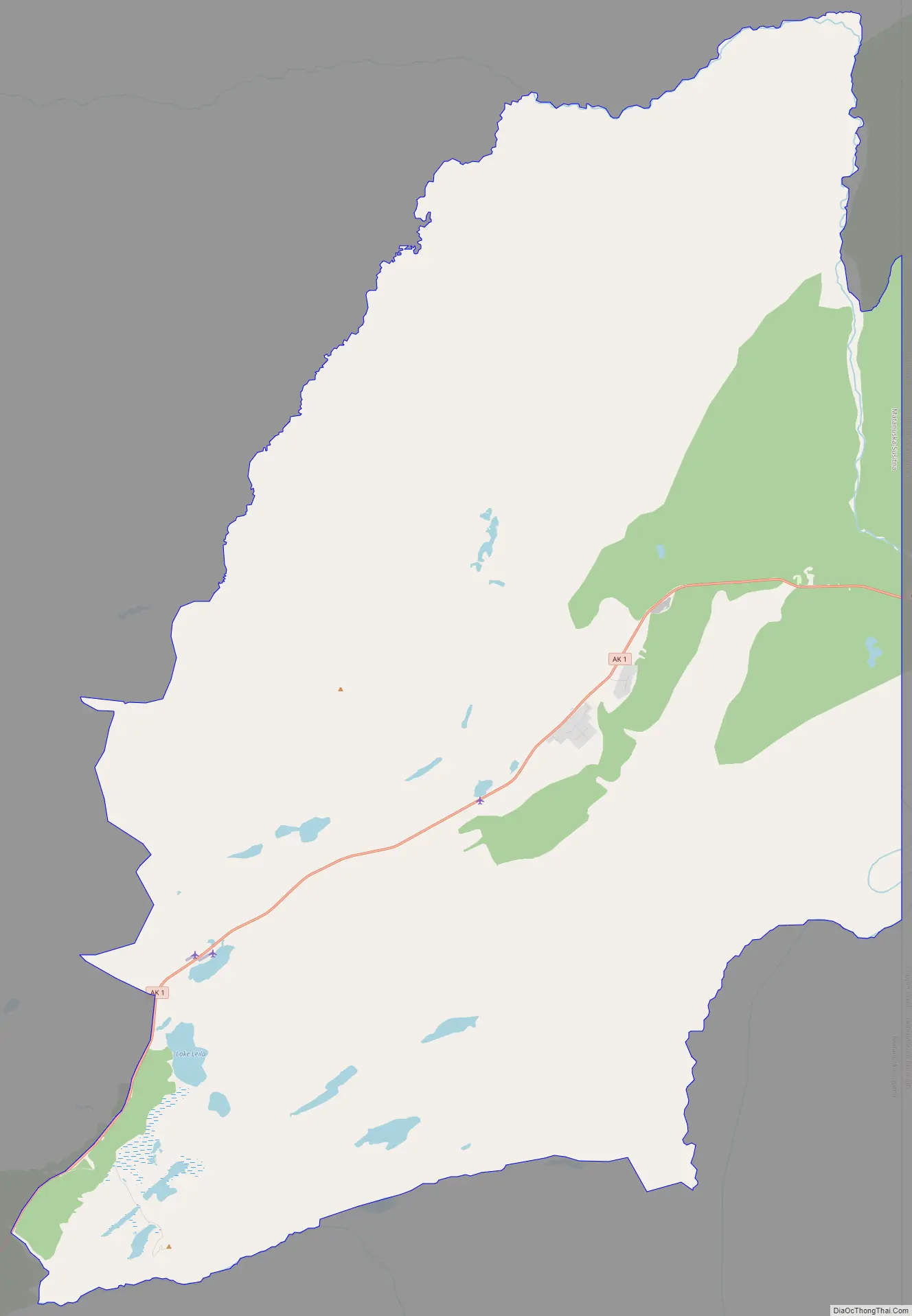
Eureka Roadhouse is located between the CDPs of Glacier View and Nelchina on the Glenn Highway (Alaska Route 1), between the Chugach Mountains to the north and the Talkeetna Mountains to the southeast. The northern part of the CDP is occupied by the Nelchina Public Use Area.
It is 122 miles (196 km) northeast of Anchorage by road.
According to the United States Census Bureau, the CDP has a total area of 187.3 square miles (485 km), of which 185.8 square miles (481 km) are land and 1.6 square miles (4.1 km), or 0.83%, are water.
See also
Map of Alaska State and its subdivision:- Aleutians East
- Aleutians West
- Anchorage
- Bethel
- Bristol Bay
- Denali
- Dillingham
- Fairbanks North Star
- Haines
- Juneau
- Kenai Peninsula
- Ketchikan Gateway
- Kodiak Island
- Lake and Peninsula
- Matanuska-Susitna
- Nome
- North Slope
- Northwest Arctic
- Prince of Wales-Outer Ketchi
- Sitka
- Skagway-Yakutat-Angoon
- Southeast Fairbanks
- Valdez-Cordova
- Wade Hampton
- Wrangell-Petersburg
- Yukon-Koyukuk
- Alabama
- Alaska
- Arizona
- Arkansas
- California
- Colorado
- Connecticut
- Delaware
- District of Columbia
- Florida
- Georgia
- Hawaii
- Idaho
- Illinois
- Indiana
- Iowa
- Kansas
- Kentucky
- Louisiana
- Maine
- Maryland
- Massachusetts
- Michigan
- Minnesota
- Mississippi
- Missouri
- Montana
- Nebraska
- Nevada
- New Hampshire
- New Jersey
- New Mexico
- New York
- North Carolina
- North Dakota
- Ohio
- Oklahoma
- Oregon
- Pennsylvania
- Rhode Island
- South Carolina
- South Dakota
- Tennessee
- Texas
- Utah
- Vermont
- Virginia
- Washington
- West Virginia
- Wisconsin
- Wyoming