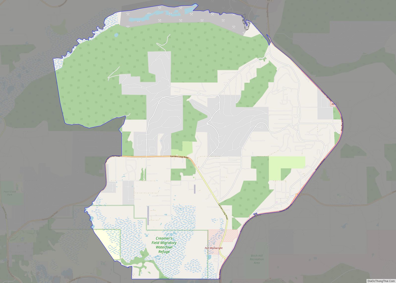
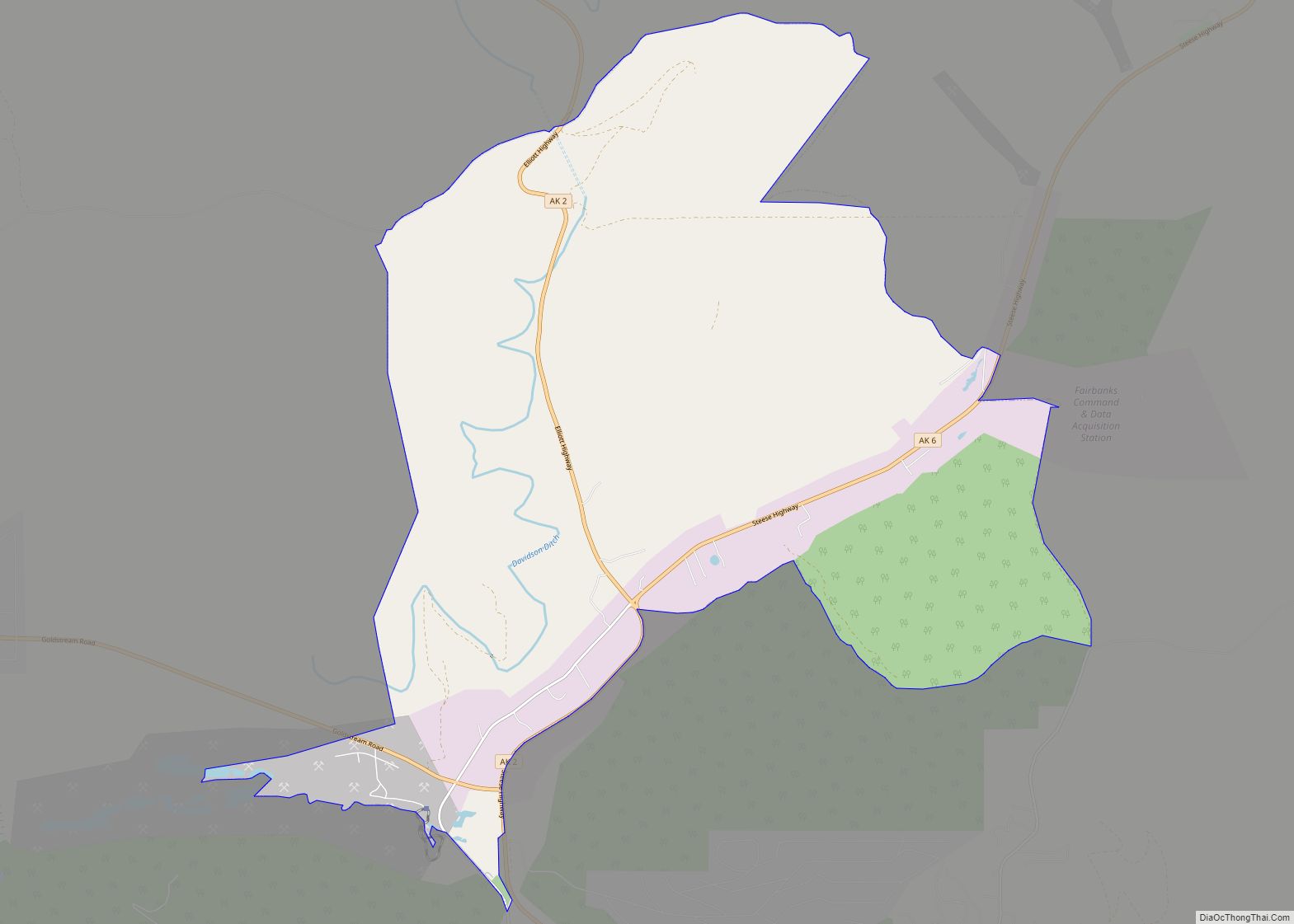
Farmers Loop is a census-designated place in Fairbanks North Star Borough, Alaska, United States. One of several CDPs created out of various Fairbanks suburbs and outskirts during the 2010 census, at which time it had a population of 4,853. The CDP is located north of Fairbanks and is centered on and named for Farmers Loop Road, a road that runs along the foothills north of Fairbanks between the Steese Highway and the northeastern corner of the University of Alaska Fairbanks campus.
According to the U.S. Census Bureau, the Farmers Loop CDP has a total area of 21.90 square miles (56.71 km), of which 21.87 square miles (56.65 km) is land and 0.02 square miles (0.06 km), or 0.10%, is water.
| Name: | Farmers Loop CDP |
|---|---|
| LSAD Code: | 57 |
| LSAD Description: | CDP (suffix) |
| State: | Alaska |
| County: | Fairbanks North Star Borough |
| Total Area: | 21.82 sq mi (56.51 km²) |
| Land Area: | 21.80 sq mi (56.45 km²) |
| Water Area: | 0.02 sq mi (0.06 km²) |
| Total Population: | 4,704 |
| Population Density: | 215.83/sq mi (83.33/km²) |
| FIPS code: | 0224980 |
Online Interactive Map
Click on ![]() to view map in "full screen" mode.
to view map in "full screen" mode.
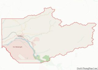
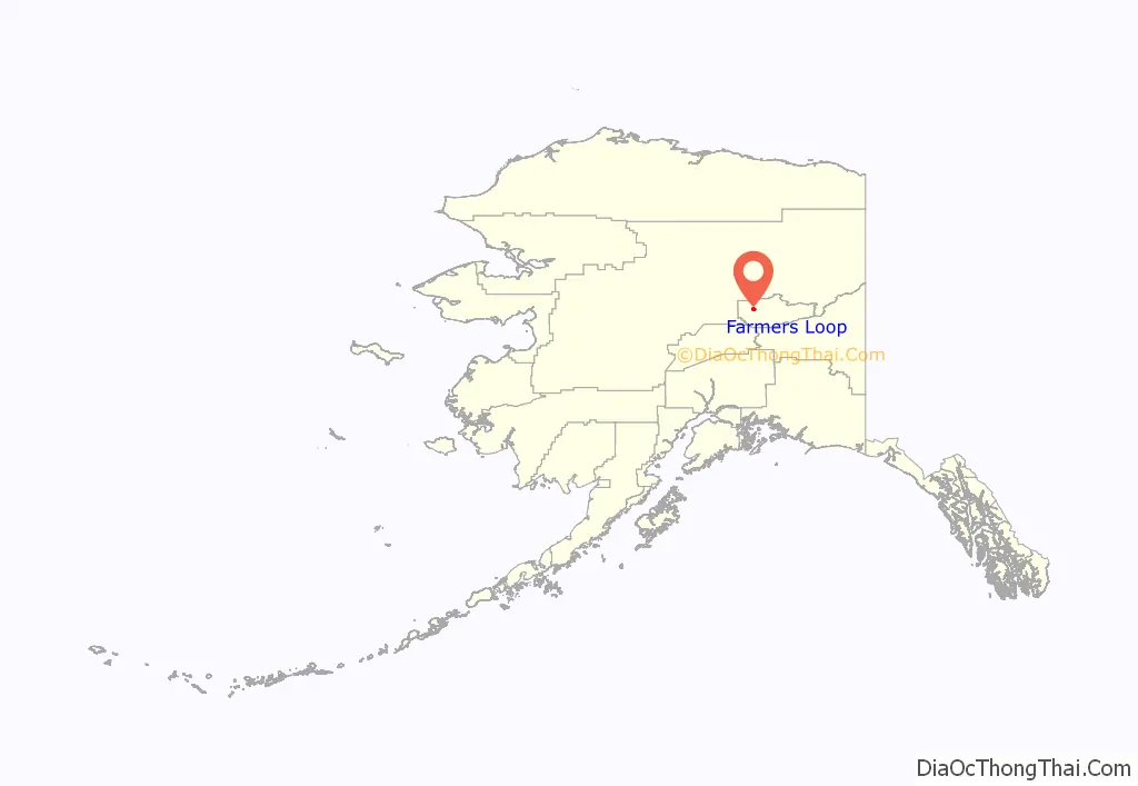
Farmers Loop location map. Where is Farmers Loop CDP?
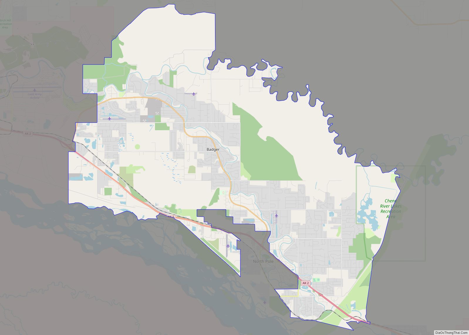
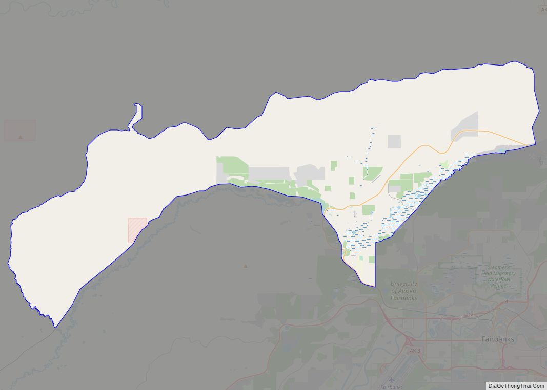
Farmers Loop Road Map
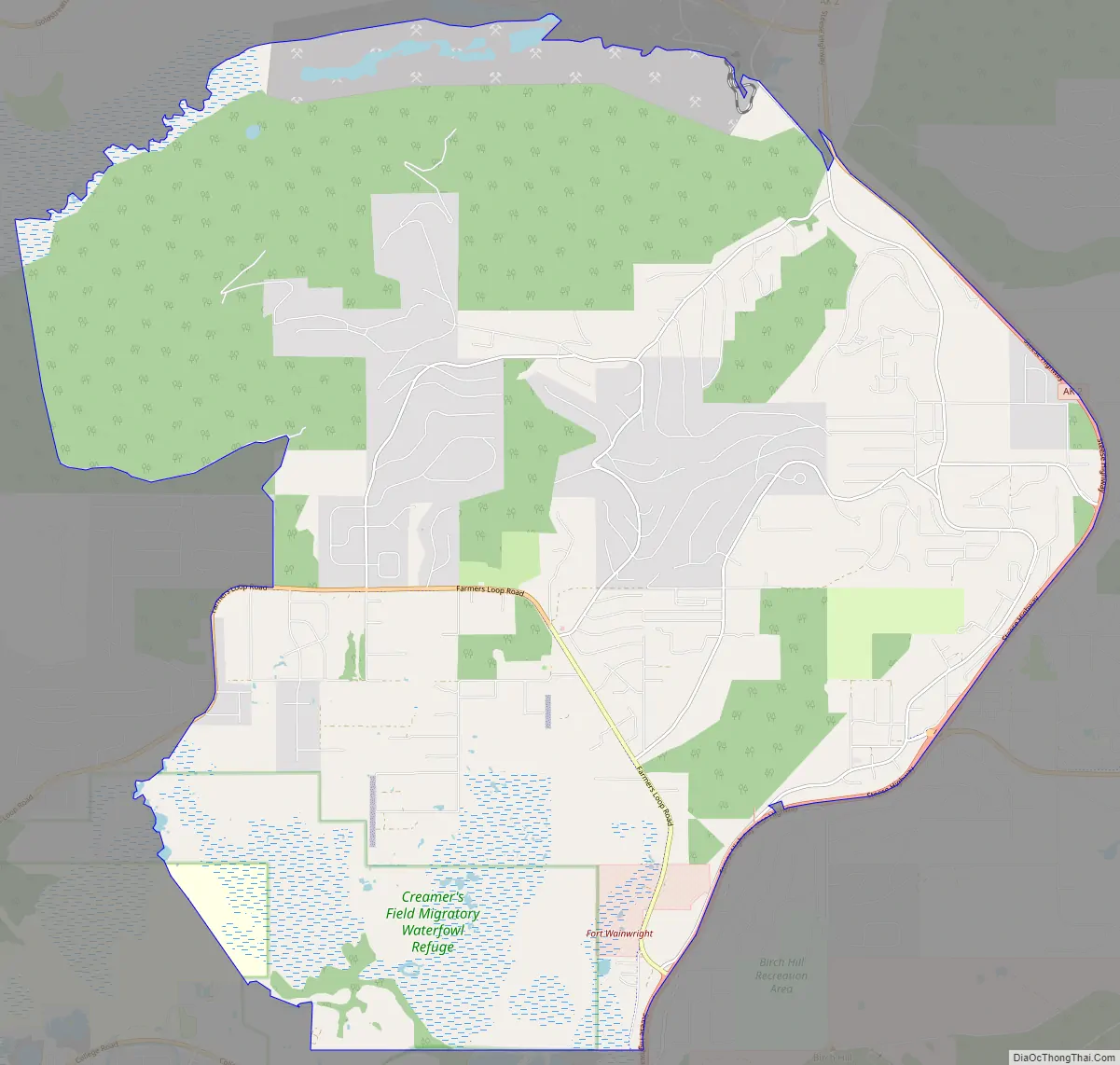
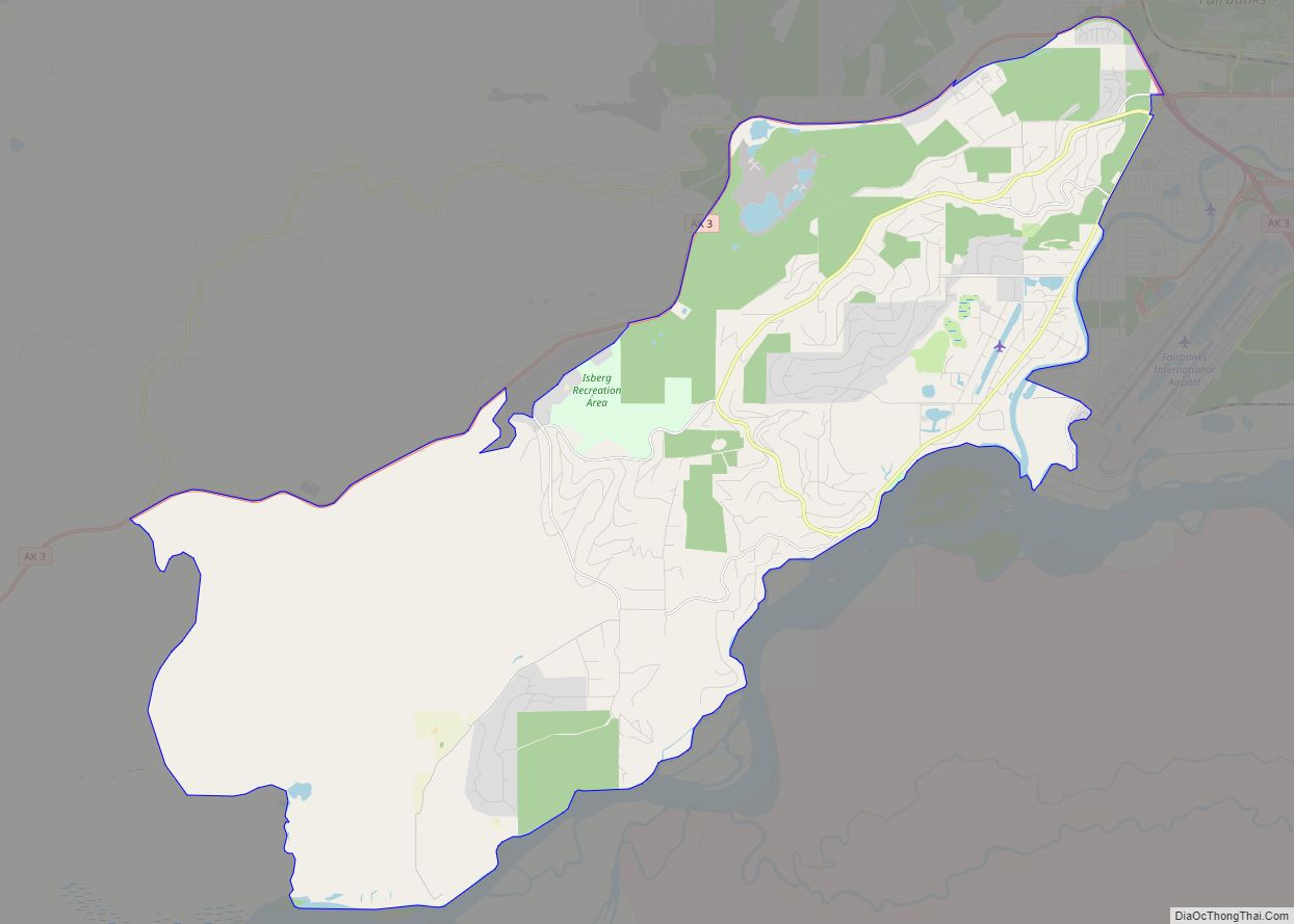
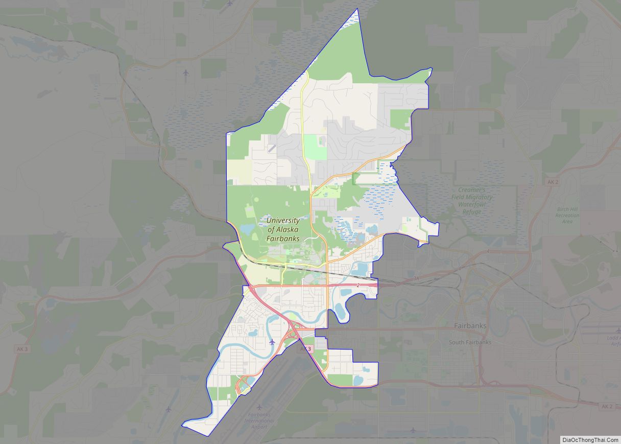
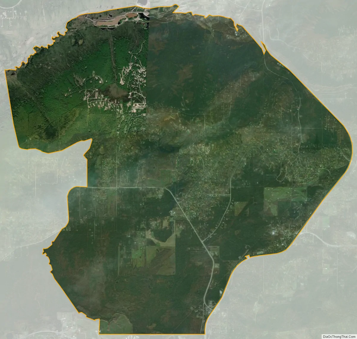
Farmers Loop city Satellite Map
See also
Map of Alaska State and its subdivision:- Aleutians East
- Aleutians West
- Anchorage
- Bethel
- Bristol Bay
- Denali
- Dillingham
- Fairbanks North Star
- Haines
- Juneau
- Kenai Peninsula
- Ketchikan Gateway
- Kodiak Island
- Lake and Peninsula
- Matanuska-Susitna
- Nome
- North Slope
- Northwest Arctic
- Prince of Wales-Outer Ketchi
- Sitka
- Skagway-Yakutat-Angoon
- Southeast Fairbanks
- Valdez-Cordova
- Wade Hampton
- Wrangell-Petersburg
- Yukon-Koyukuk
- Alabama
- Alaska
- Arizona
- Arkansas
- California
- Colorado
- Connecticut
- Delaware
- District of Columbia
- Florida
- Georgia
- Hawaii
- Idaho
- Illinois
- Indiana
- Iowa
- Kansas
- Kentucky
- Louisiana
- Maine
- Maryland
- Massachusetts
- Michigan
- Minnesota
- Mississippi
- Missouri
- Montana
- Nebraska
- Nevada
- New Hampshire
- New Jersey
- New Mexico
- New York
- North Carolina
- North Dakota
- Ohio
- Oklahoma
- Oregon
- Pennsylvania
- Rhode Island
- South Carolina
- South Dakota
- Tennessee
- Texas
- Utah
- Vermont
- Virginia
- Washington
- West Virginia
- Wisconsin
- Wyoming