Fox is a census-designated place (CDP) in Fairbanks North Star Borough, Alaska, United States. It is part of the Fairbanks, Alaska Metropolitan Statistical Area. At the 2010 census the population was 417, up from 300 in 2000.
| Name: | Fox CDP |
|---|---|
| LSAD Code: | 57 |
| LSAD Description: | CDP (suffix) |
| State: | Alaska |
| County: | Fairbanks North Star Borough |
| Elevation: | 751 ft (229 m) |
| Total Area: | 12.99 sq mi (33.65 km²) |
| Land Area: | 12.99 sq mi (33.65 km²) |
| Water Area: | 0.00 sq mi (0.00 km²) |
| Total Population: | 406 |
| Population Density: | 31.25/sq mi (12.07/km²) |
| ZIP code: | 99712 |
| Area code: | 907 |
| FIPS code: | 0226870 |
| GNISfeature ID: | 1402342 |
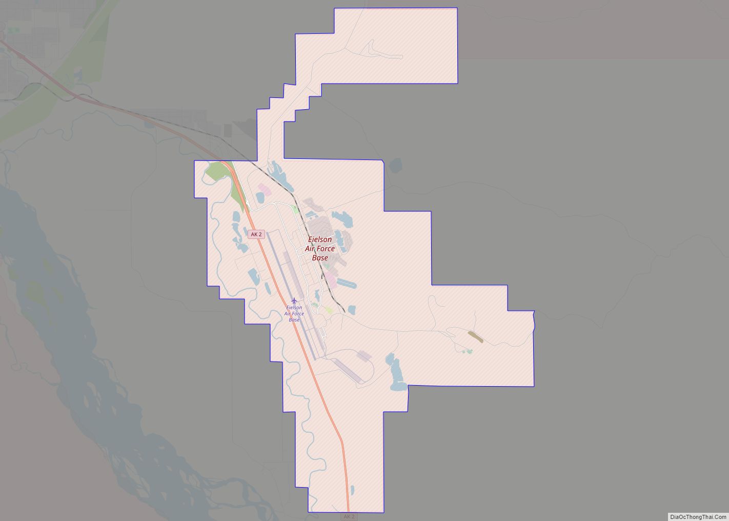
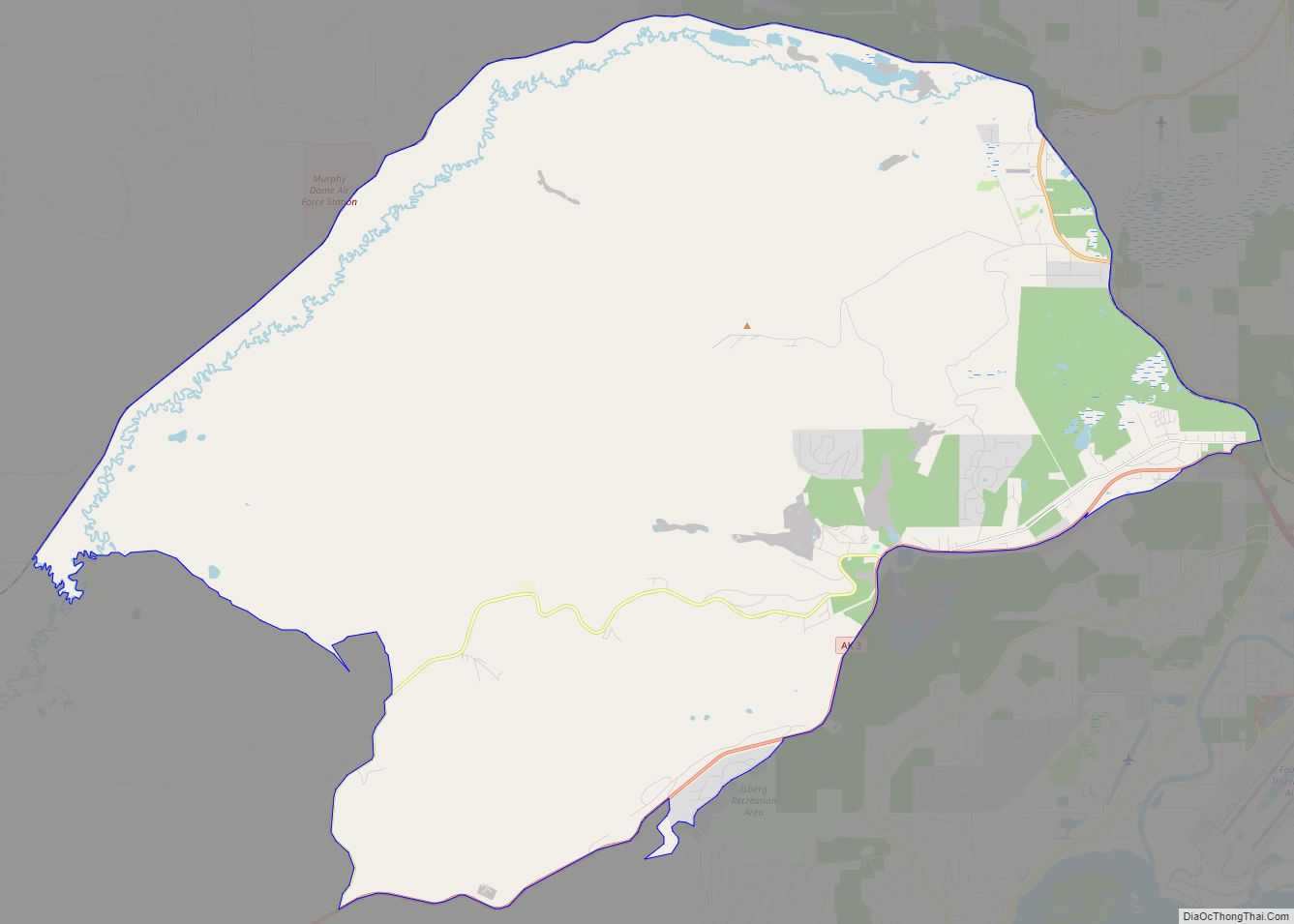
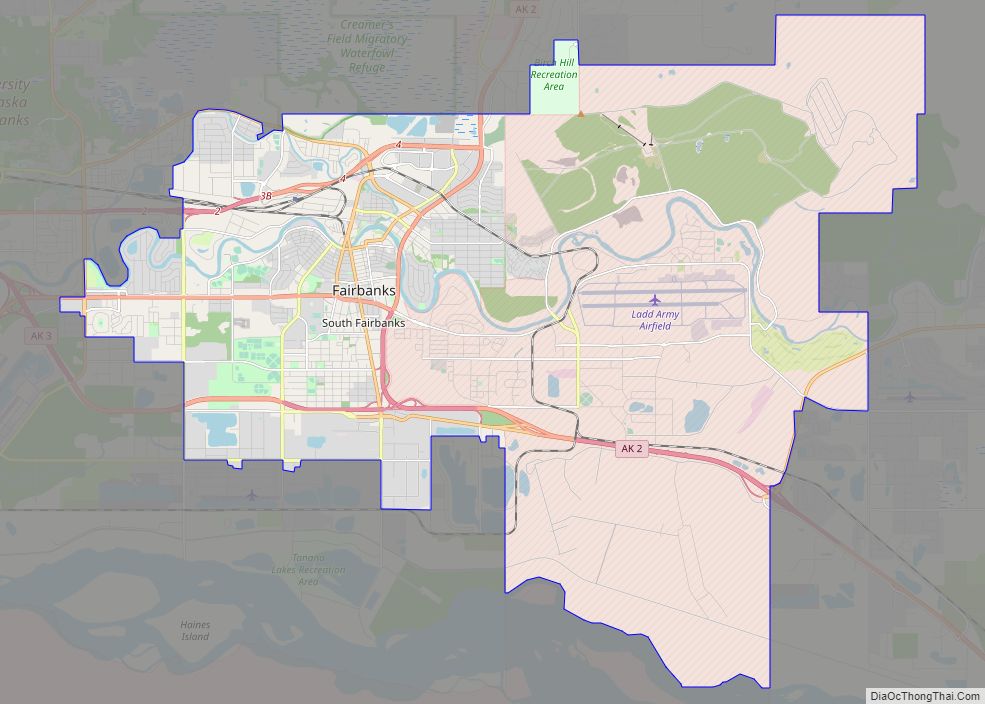
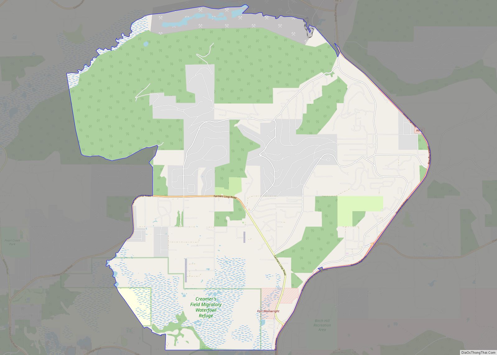
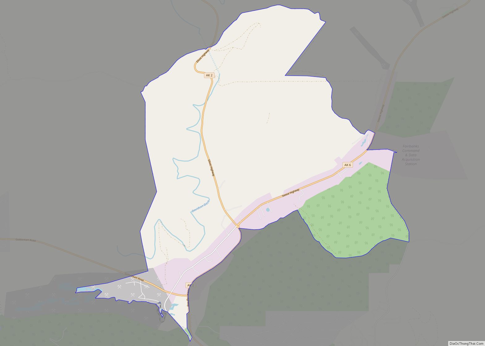
Online Interactive Map
Click on ![]() to view map in "full screen" mode.
to view map in "full screen" mode.
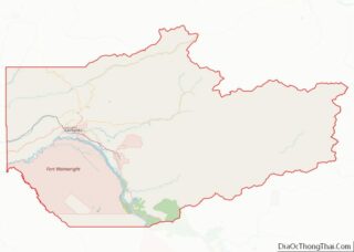
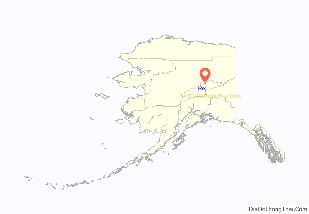
Fox location map. Where is Fox CDP?
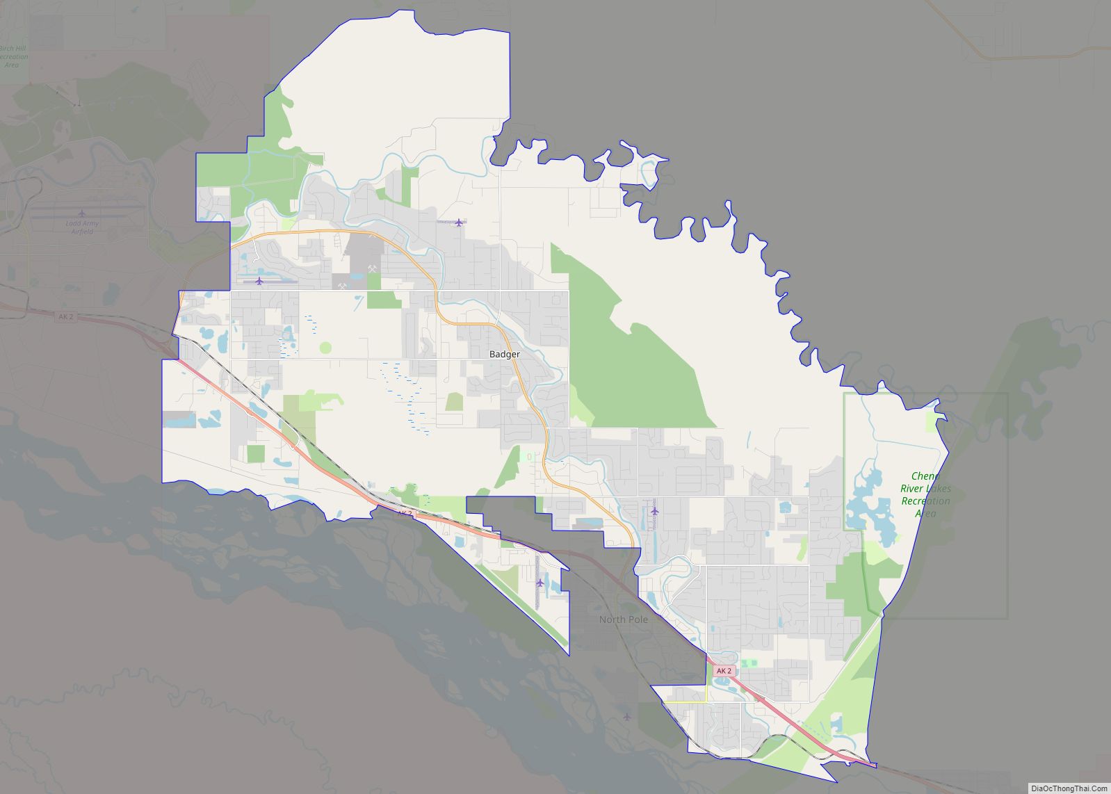
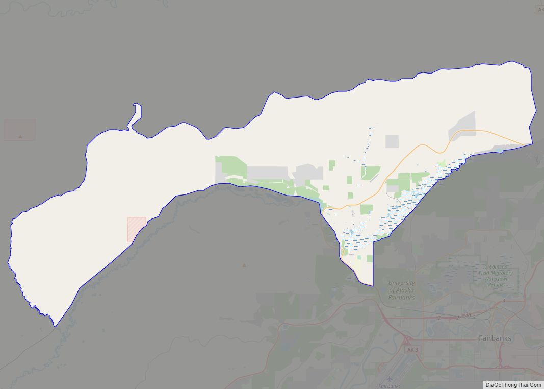
Fox Road Map

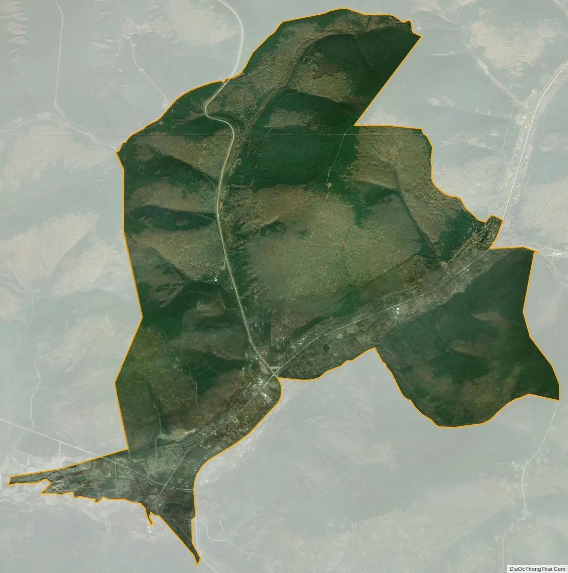
Fox city Satellite Map
Geography
Fox is located at 64°57′14″N 147°37′42″W / 64.95389°N 147.62833°W / 64.95389; -147.62833 (64.953979, -147.628325), on the bank of Fox Creek as it enters Goldstream Creek Valley, 10 mi (16 km) northeast of Fairbanks. Steese Highway and Elliott Highway intersect in Fox.
Established as a mining camp in the early 1900s, Fox functions as a bedroom community today and most residents work in nearby Fairbanks or at Fort Knox Gold Mine to the northeast.
According to the United States Census Bureau, the CDP has a total area of 13.1 square miles (33.9 km), all of it land.
See also
Map of Alaska State and its subdivision:- Aleutians East
- Aleutians West
- Anchorage
- Bethel
- Bristol Bay
- Denali
- Dillingham
- Fairbanks North Star
- Haines
- Juneau
- Kenai Peninsula
- Ketchikan Gateway
- Kodiak Island
- Lake and Peninsula
- Matanuska-Susitna
- Nome
- North Slope
- Northwest Arctic
- Prince of Wales-Outer Ketchi
- Sitka
- Skagway-Yakutat-Angoon
- Southeast Fairbanks
- Valdez-Cordova
- Wade Hampton
- Wrangell-Petersburg
- Yukon-Koyukuk
- Alabama
- Alaska
- Arizona
- Arkansas
- California
- Colorado
- Connecticut
- Delaware
- District of Columbia
- Florida
- Georgia
- Hawaii
- Idaho
- Illinois
- Indiana
- Iowa
- Kansas
- Kentucky
- Louisiana
- Maine
- Maryland
- Massachusetts
- Michigan
- Minnesota
- Mississippi
- Missouri
- Montana
- Nebraska
- Nevada
- New Hampshire
- New Jersey
- New Mexico
- New York
- North Carolina
- North Dakota
- Ohio
- Oklahoma
- Oregon
- Pennsylvania
- Rhode Island
- South Carolina
- South Dakota
- Tennessee
- Texas
- Utah
- Vermont
- Virginia
- Washington
- West Virginia
- Wisconsin
- Wyoming