Houston is a city in Matanuska-Susitna Borough, Alaska, United States. It is part of the Anchorage, Alaska Metropolitan Statistical Area. It is located roughly 33 miles from downtown Anchorage, although it is a 58-mile drive by car between the two points. The population was 1,975 at the 2020 census, up from 1,912 in 2000.
| Name: | Houston city |
|---|---|
| LSAD Code: | 25 |
| LSAD Description: | city (suffix) |
| State: | Alaska |
| County: | Matanuska-Susitna Borough |
| Incorporated: | June 6, 1966 |
| Elevation: | 249 ft (76 m) |
| Total Area: | 25.26 sq mi (65.41 km²) |
| Land Area: | 23.94 sq mi (62.01 km²) |
| Water Area: | 1.32 sq mi (3.41 km²) |
| Total Population: | 1,975 |
| Population Density: | 82.50/sq mi (31.85/km²) |
| ZIP code: | 99694 |
| Area code: | 907 |
| FIPS code: | 0233800 |
| GNISfeature ID: | 1416613 |
| Website: | www.houstonak.com |
Online Interactive Map
Click on ![]() to view map in "full screen" mode.
to view map in "full screen" mode.
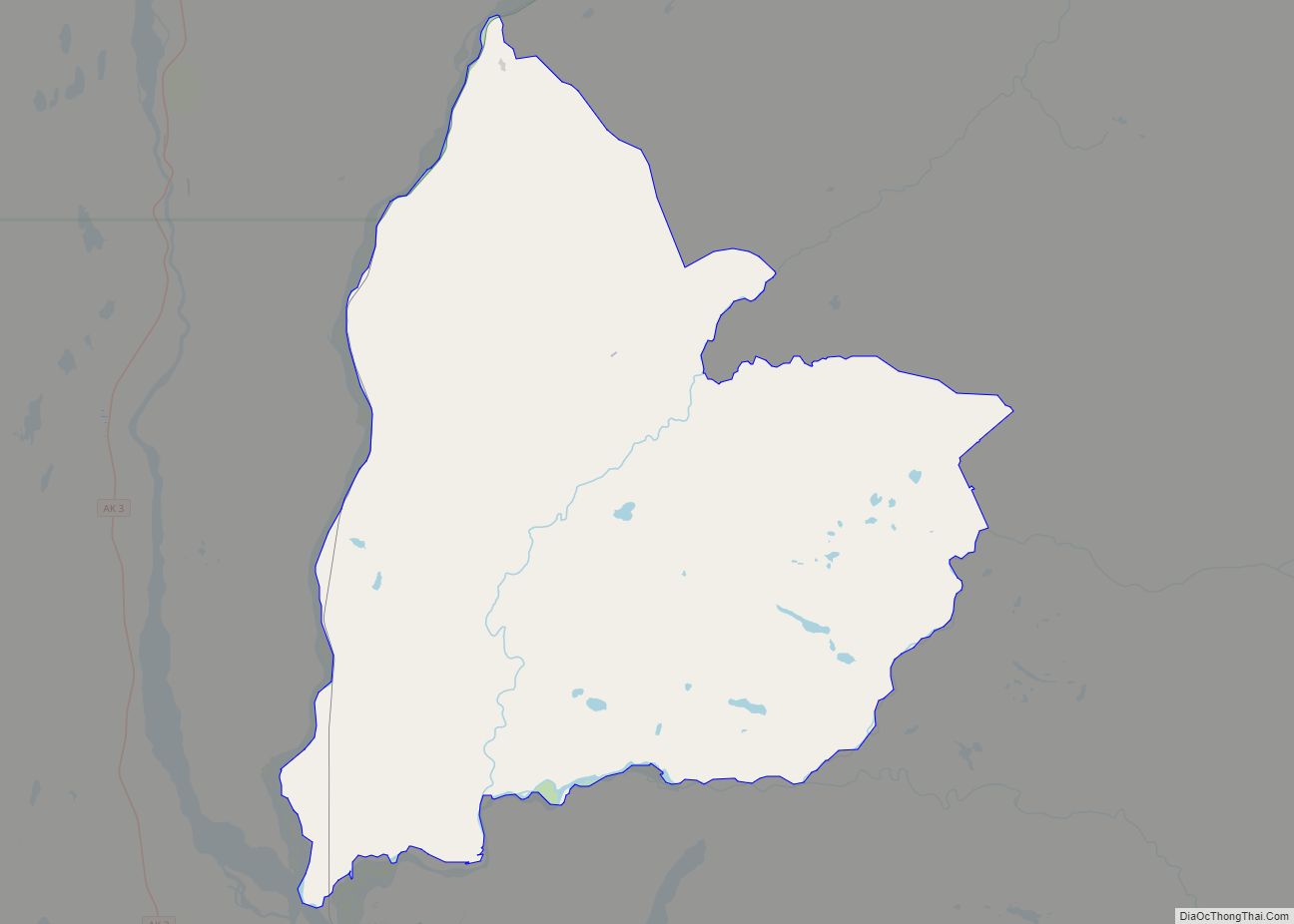
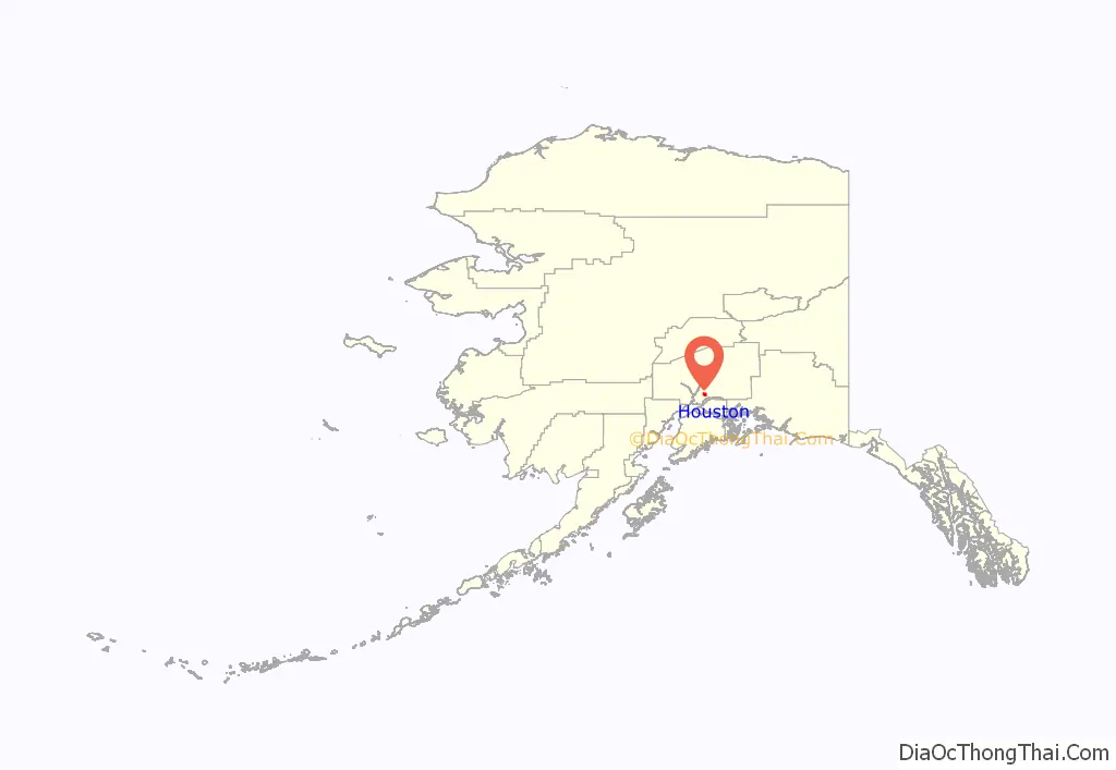
Houston location map. Where is Houston city?
History
Houston Siding was first listed on a blueprint map of the Alaska Railroad in 1917. Houston was incorporated as a fourth-class city in 1966. It remained an incorporated city after Alaska overhauled its local government structure in 1972, which saw the elimination of the fourth-class city designation and the dissolution of many cities so incorporated.
Also in 1972, George Boney, the chief justice of the Alaska Supreme Court and at the time the youngest chief justice of any U.S. state supreme court, died in Houston (at Cheri Lake) in a boating accident which resulted in drowning.
In June 1996, a wildfire, known as the Miller’s Reach fire, covered more than 37,500 acres (15,176 ha) in Houston and adjacent Big Lake. Property losses included 433 buildings and homes valued at $8.9 million.
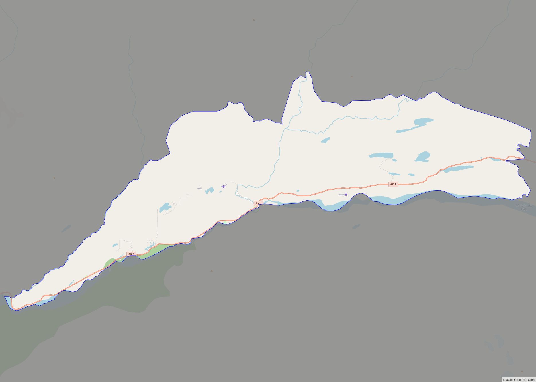
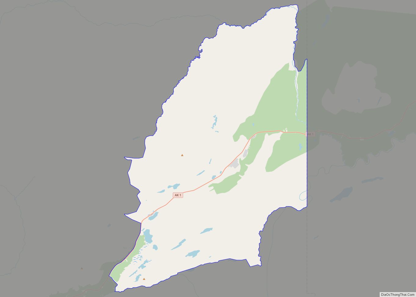
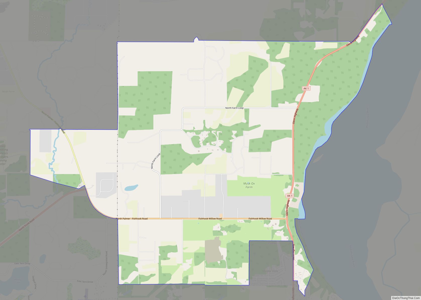
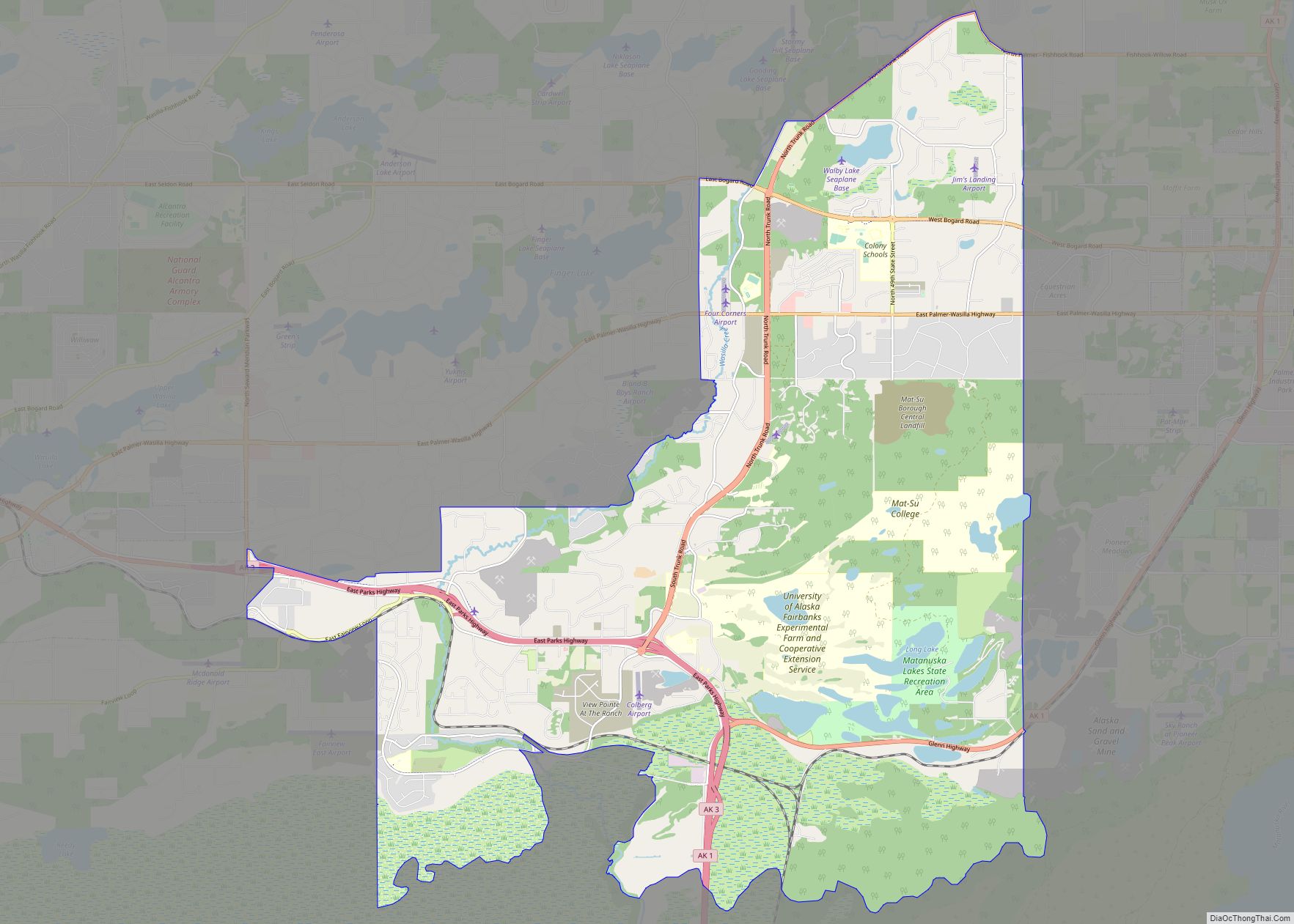
Houston Road Map
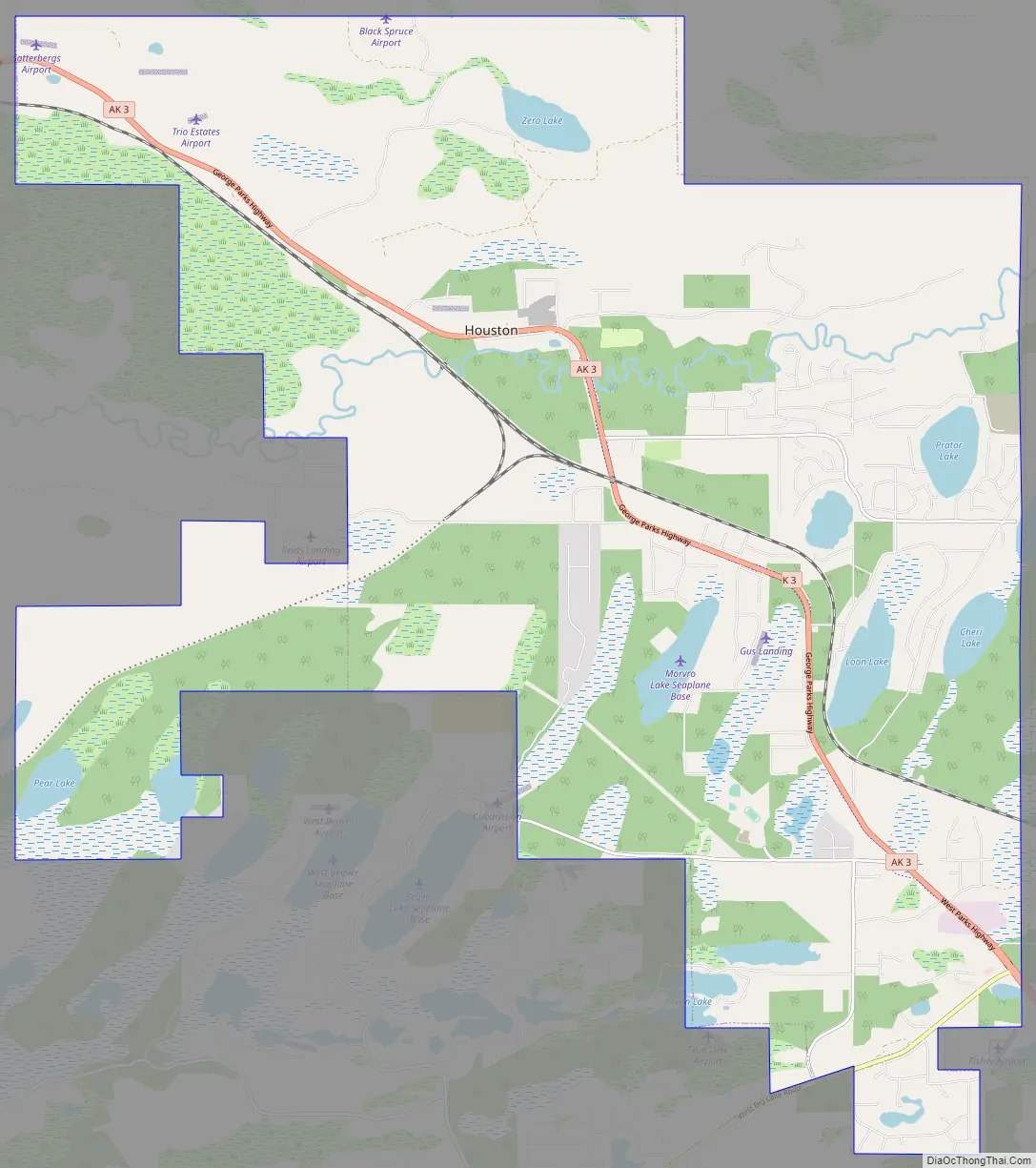
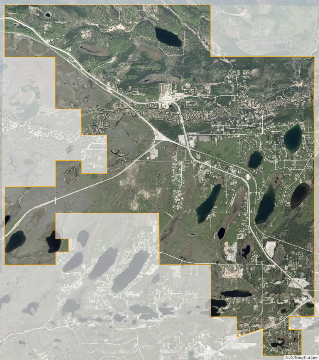
Houston city Satellite Map
Geography
Houston is located at 61°36′30″N 149°46′25″W / 61.60833°N 149.77361°W / 61.60833; -149.77361 (61.608309, -149.773719).
According to the United States Census Bureau, the city has a total area of 23.5 square miles (61 km), of which, 22.4 square miles (58 km) of it is land and 1.1 square miles (2.8 km) of it (4.89%) is water.
See also
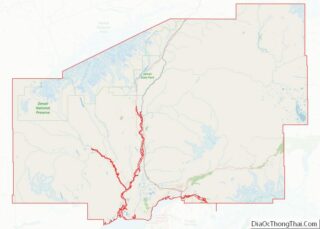
Map of Alaska State and its subdivision:- Aleutians East
- Aleutians West
- Anchorage
- Bethel
- Bristol Bay
- Denali
- Dillingham
- Fairbanks North Star
- Haines
- Juneau
- Kenai Peninsula
- Ketchikan Gateway
- Kodiak Island
- Lake and Peninsula
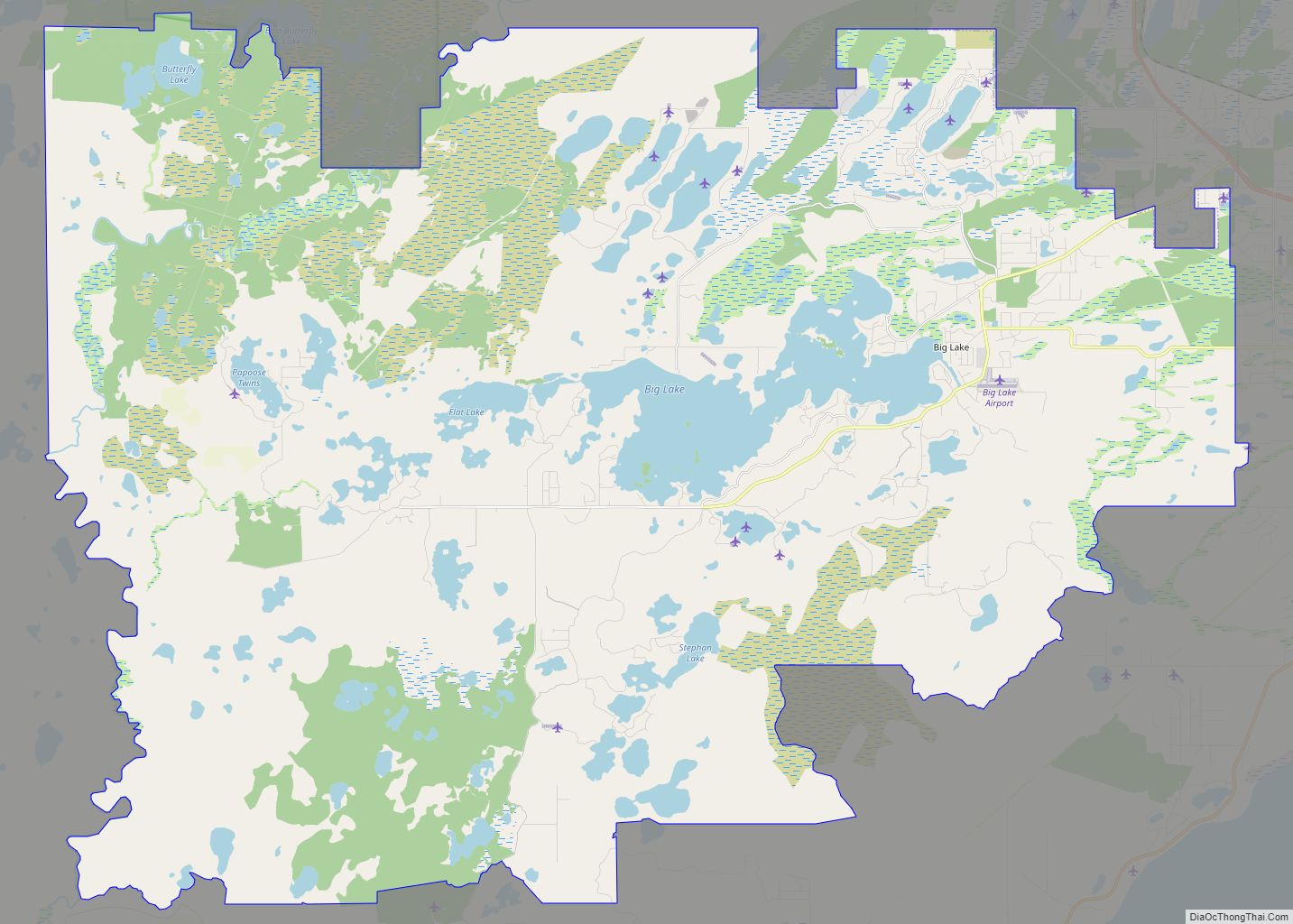
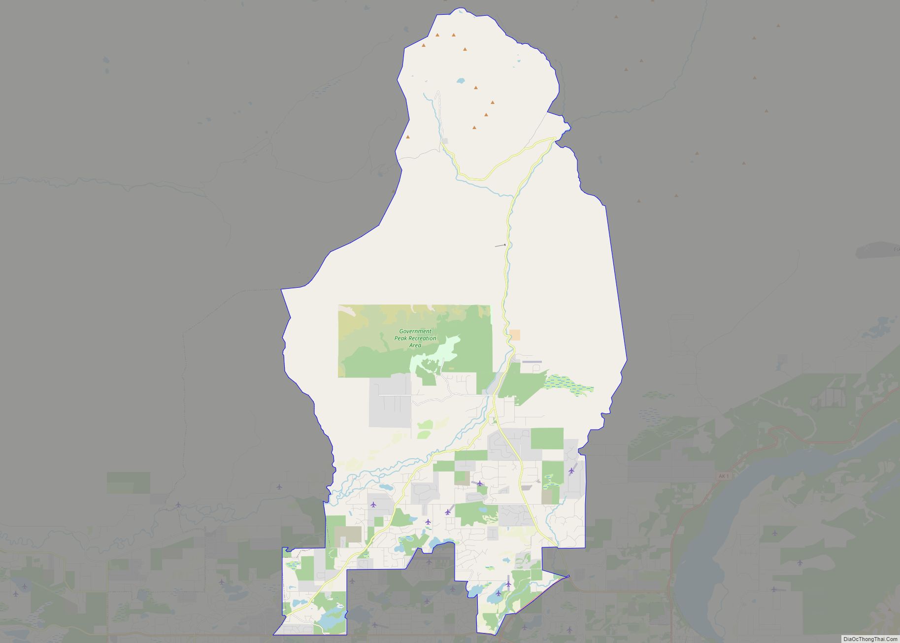
- Matanuska-Susitna
- Nome
- North Slope
- Northwest Arctic
- Prince of Wales-Outer Ketchi
- Sitka
- Skagway-Yakutat-Angoon
- Southeast Fairbanks
- Valdez-Cordova
- Wade Hampton
- Wrangell-Petersburg
- Yukon-Koyukuk
- Alabama
- Alaska
- Arizona
- Arkansas
- California
- Colorado
- Connecticut
- Delaware
- District of Columbia
- Florida
- Georgia
- Hawaii
- Idaho
- Illinois
- Indiana
- Iowa
- Kansas
- Kentucky
- Louisiana
- Maine
- Maryland
- Massachusetts
- Michigan
- Minnesota
- Mississippi
- Missouri
- Montana
- Nebraska
- Nevada
- New Hampshire
- New Jersey
- New Mexico
- New York
- North Carolina
- North Dakota
- Ohio
- Oklahoma
- Oregon
- Pennsylvania
- Rhode Island
- South Carolina
- South Dakota
- Tennessee
- Texas
- Utah
- Vermont
- Virginia
- Washington
- West Virginia
- Wisconsin
- Wyoming