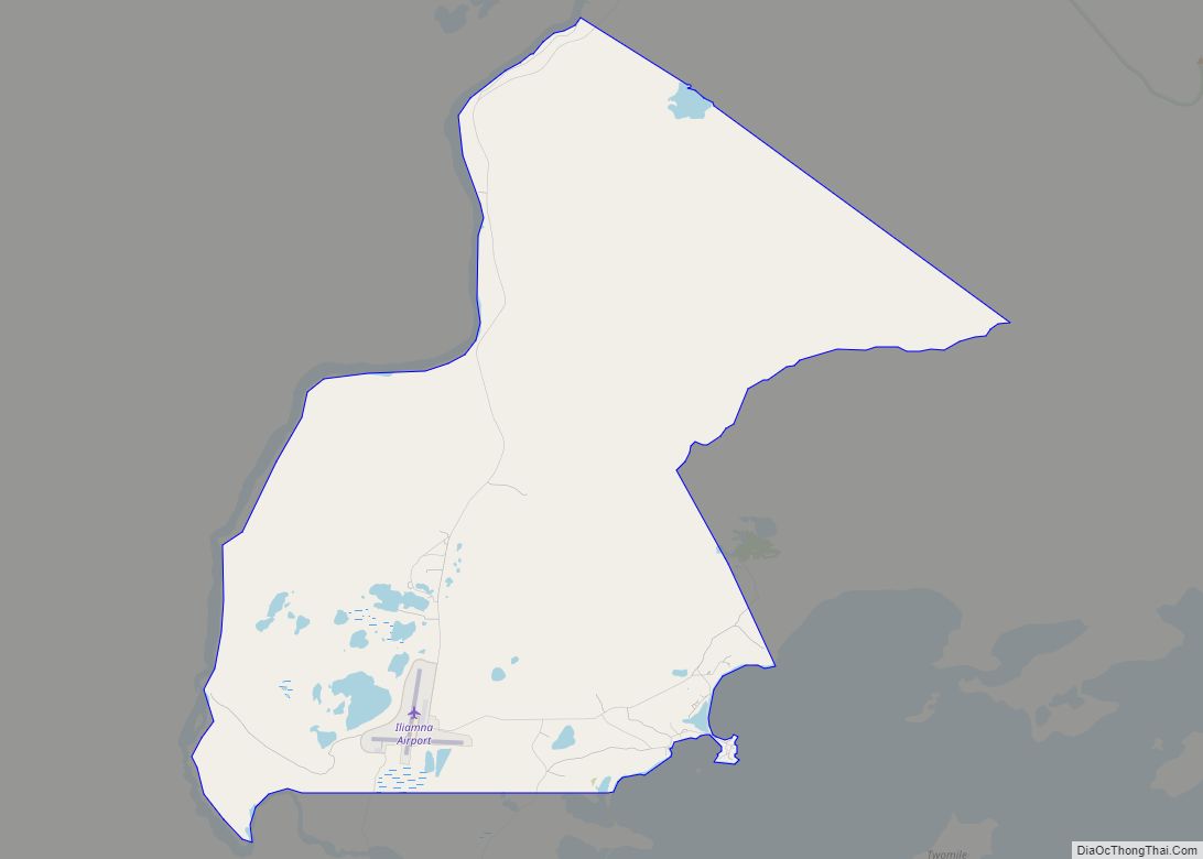
Iliamna (Dena’ina: Illiamna) is a census-designated place (CDP) in Lake and Peninsula Borough, Alaska, United States. The population was 108 at the 2020 census, slightly down from 109 in 2010.
| Name: | Iliamna CDP |
|---|---|
| LSAD Code: | 57 |
| LSAD Description: | CDP (suffix) |
| State: | Alaska |
| County: | Lake and Peninsula Borough |
| Elevation: | 155 ft (47 m) |
| Total Area: | 37.69 sq mi (97.61 km²) |
| Land Area: | 37.22 sq mi (96.39 km²) |
| Water Area: | 0.47 sq mi (1.21 km²) |
| Total Population: | 108 |
| Population Density: | 2.90/sq mi (1.12/km²) |
| ZIP code: | 99606, 99647 |
| Area code: | 907 |
| FIPS code: | 0235120 |
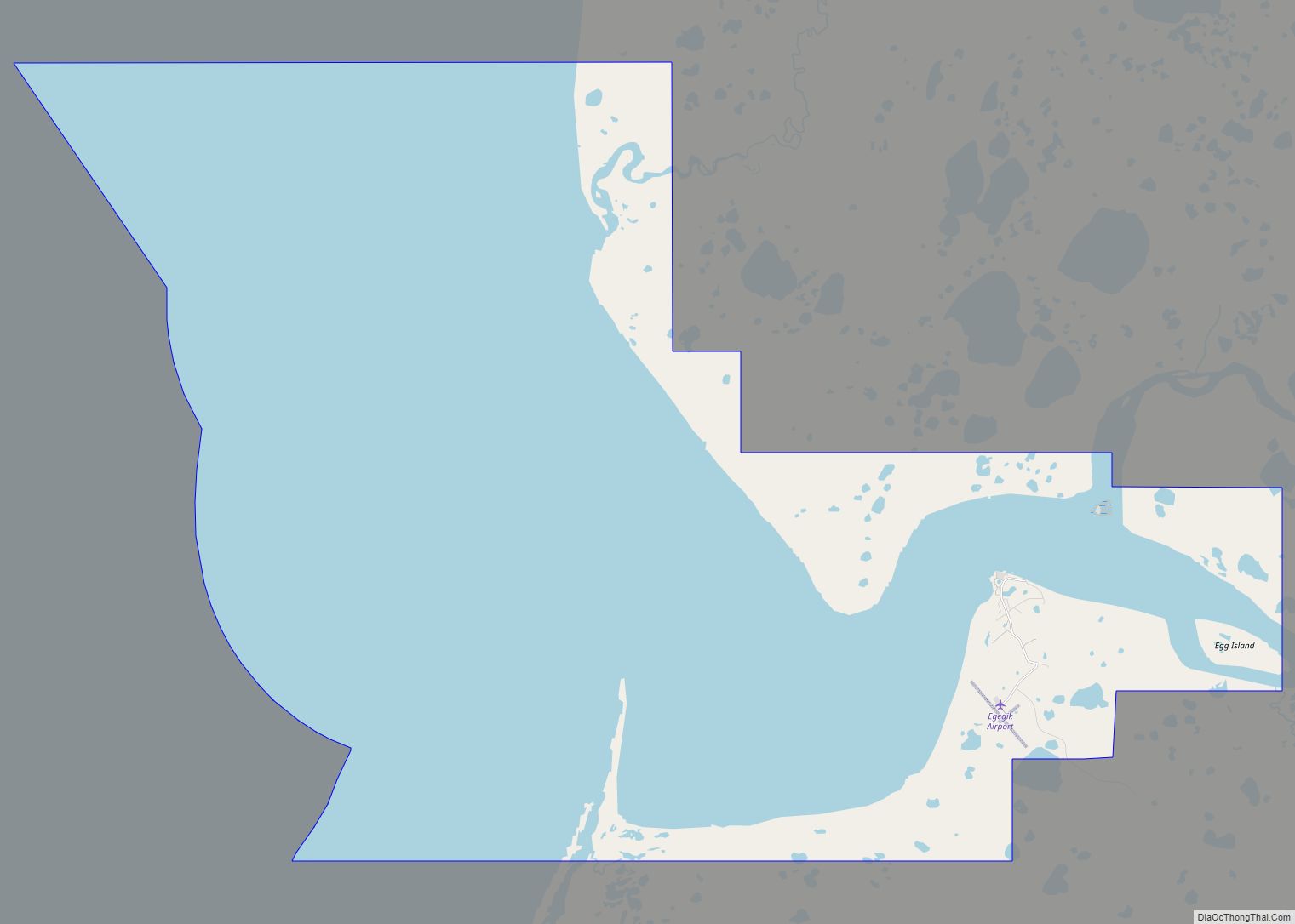
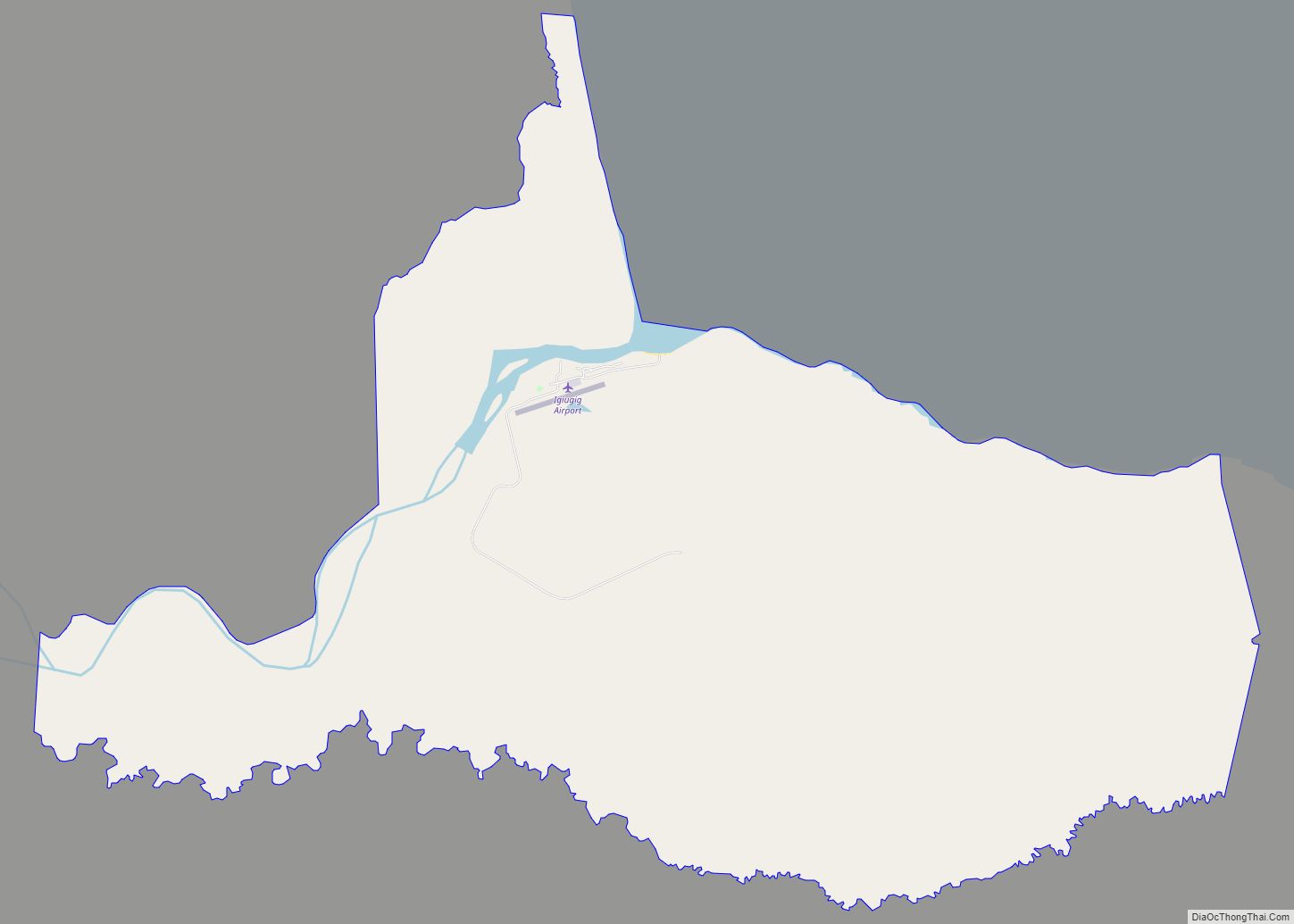
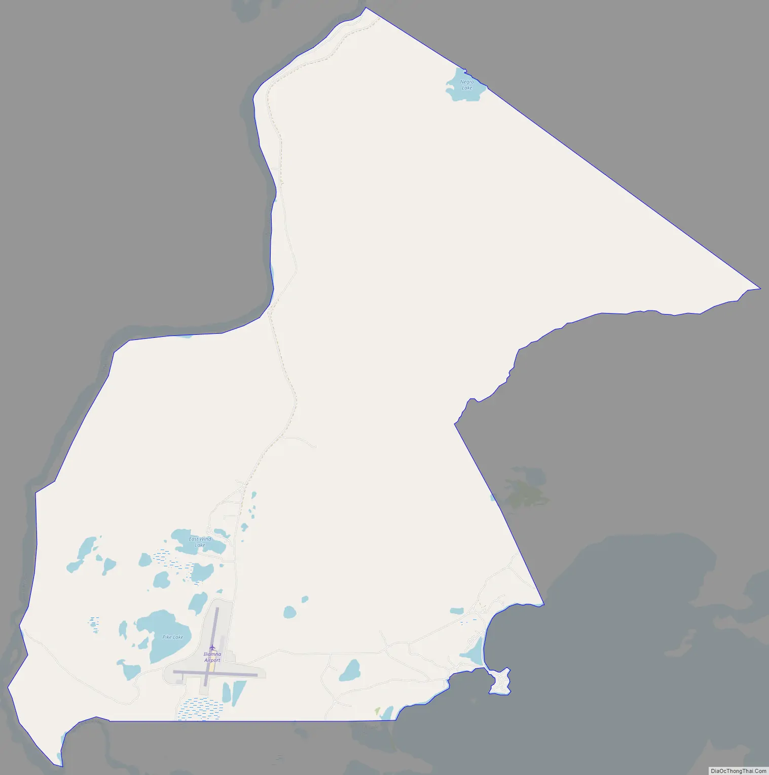
Online Interactive Map
Click on ![]() to view map in "full screen" mode.
to view map in "full screen" mode.
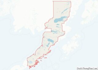
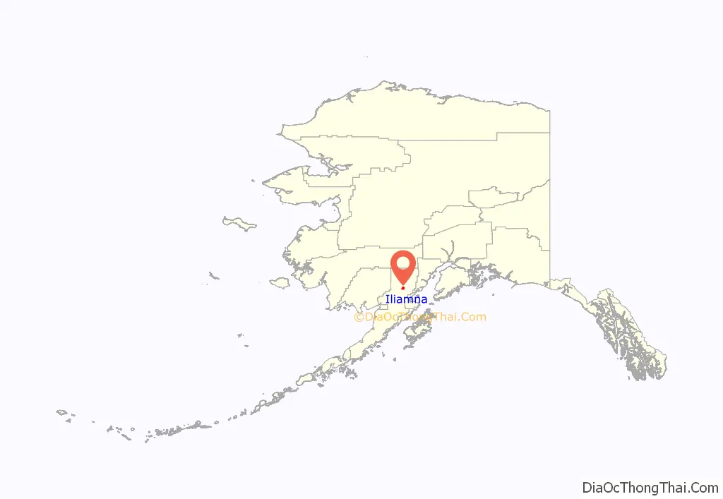
Iliamna location map. Where is Iliamna CDP?
History
Iliamna was originally the name of an Athabaskan village at the point where the Iliamna River flows into Iliamna Lake, about 40 miles (64 km) east of present-day Iliamna. That site is now called Old Iliamna (Dena’ina: Nuch’ak’dalitnu’). In 1935, the residents of Old Iliamna moved to the present-day location.
The first sport fishing lodge in Iliamna was built in the 1930s, and the second was built in the 1950s. Many more were built later in the 20th century. Iliamna’s economy has two main elements: subsistence fishing and hunting and sport fishing lodges. Year-round residents largely pursue subsistence activities, while summer workers from other areas work in the lodges.
Around 1913, Herman Gartelmann, Jack Kinney, and Ed Ahola built a roadhouse here, taking advantage of air travel through Lake Clark Pass. Jack and Ed were from Old Iliamna village. Frederick Roehl purchased the roadhouse around 1917, and when he died in 1923, Hans Seversen took over and the facility became known as Seversen’s Roadhouse. He started hosting big game hunters in 1921 and the first sport fishermen in 1937. Martin Seversen ran the operation from 1946 and put up a new building. Mary Seversen Clark sold the operation in 1956.
Iliamna faces the prospect of developing into a mining town, as several multi-national companies plan to develop the area northwest of the village into one of North America’s largest gold-copper-molybdenum mines. The first company to submit plans to the State of Alaska is Northern Dynasty Minerals, a wholly owned subsidiary of Hunter Dickinson. The Lake and Peninsula Borough, the region’s governing body, passed a strong resolution in support of the mine’s development, but the majority of the surrounding villages adamantly oppose it. Two non-profit organizations are leading the fight against open-pit mining in the Bristol Bay watershed – the Bristol Bay Alliance and the Renewable Resources Coalition. A study concluded in 2006 indicated the majority of Alaskans were opposed to the development.
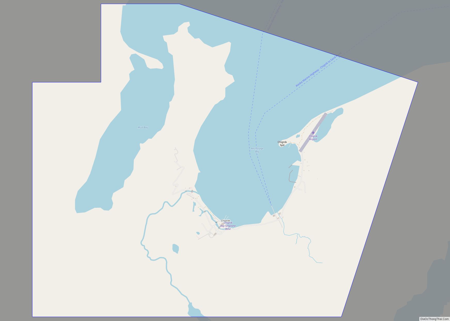
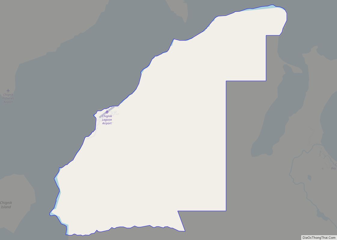
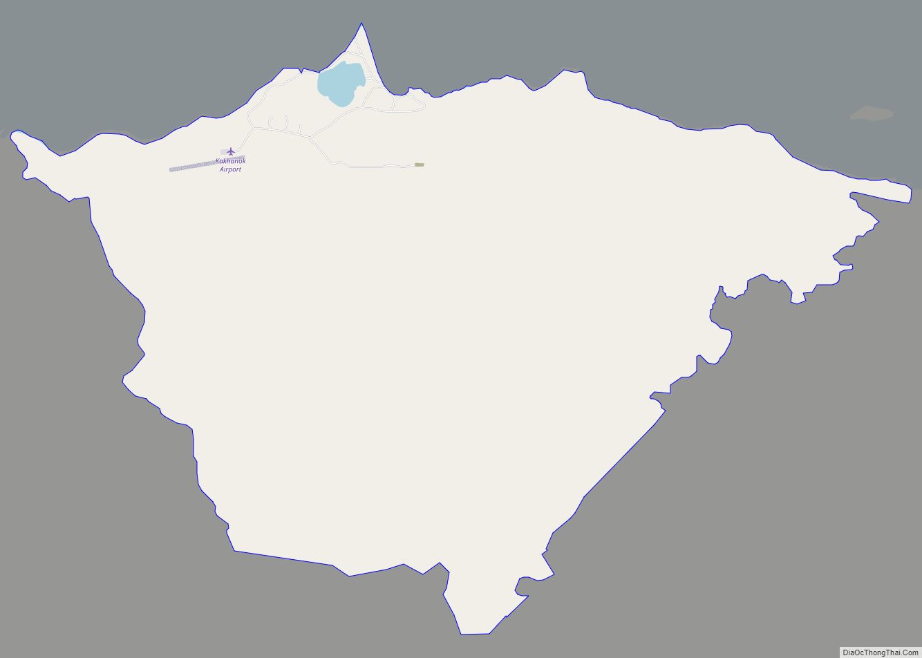
Iliamna Road Map
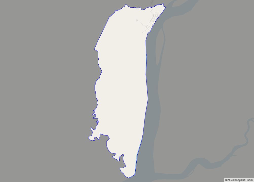
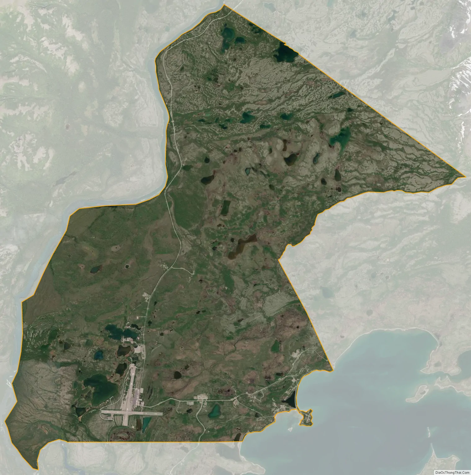
Iliamna city Satellite Map
Geography
Iliamna is located in southwest Alaska at 59°45′54″N 154°50′25″W / 59.76500°N 154.84028°W / 59.76500; -154.84028 (59.765135, -154.840312). It is bordered to the south by the city of Newhalen, to the west by the Newhalen River, and to the southeast by Iliamna Lake.
According to the United States Census Bureau, the CDP has a total area of 37.6 square miles (97.4 km), of which 37.1 square miles (96.2 km) are land and 0.46 square miles (1.2 km), or 1.23%, are water.
Climate
Iliamna has a continental subarctic climate (Köppen Dfc) with mild summers and severely cold winters. Iliamna’s year-round average temperature is 37.7 °F (3.2 °C), with five months averaging below freezing (32 °F (0 °C)) and three months averaging above 50 °F (10 °C), July is the warmest month with an average temperature of 57.8 °F (14.3 °C) and January is the coldest month with an average temperature of 18.4 °F (−7.6 °C). Winters are sometimes very cold, and in some years there are even low temperatures below −40 °F (−40 °C), usually 32 days have a minimum 0 °F (−18 °C) or below annually, and the coldest temperature in a year can drop to −21 °F (−29 °C), so Iliamna falls in USDA Plant Hardiness Zones 4b. The coldest day of the year averaged −11 °F (−24 °C) in the 1991 to 2020 normals, while the warmest night average was at 57 °F (14 °C). The coldest daytime maximum on record is −33 °F (−36 °C) on January 19, 1947, while, conversely, the record warm daily minimum is 61 °F (16 °C) on August 13, 2019. Extreme temperatures have ranged from −47 °F (−44 °C) on January 22, 1947, up to 91 °F (33 °C) on June 27, 1953. The coldest month has been January 1947 and December 1942 with a mean temperature of −6.5 °F (−21.4 °C), while the warmest month was July 2019 at 63.2 °F (17.3 °C); the annual mean temperature has ranged from 28.2 °F (−2.1 °C) in 1956 to 42.1 °F (5.6 °C) in 2019.
Iliamna receives 25.01 inches (635 mm) of annual precipitation, mostly between summer and fall. September 1961 was the wettest month, with 11.02 inches (280 mm) of precipitation, and there were many months without recorded precipitation. The wettest year was 1985 with 40.79 inches (1,036 mm) of precipitation, while the driest was 1968 with 15.33 inches (389 mm).
Note
- ^ Temperatures have been recorded at Iliamna Airport since April 1920, with there being periods of no recording during March 1923-March 1941 and December 1973-June 1975.
See also
Map of Alaska State and its subdivision:- Aleutians East
- Aleutians West
- Anchorage
- Bethel
- Bristol Bay
- Denali
- Dillingham
- Fairbanks North Star
- Haines
- Juneau
- Kenai Peninsula
- Ketchikan Gateway
- Kodiak Island
- Lake and Peninsula
- Matanuska-Susitna
- Nome
- North Slope
- Northwest Arctic
- Prince of Wales-Outer Ketchi
- Sitka
- Skagway-Yakutat-Angoon
- Southeast Fairbanks
- Valdez-Cordova
- Wade Hampton
- Wrangell-Petersburg
- Yukon-Koyukuk
- Alabama
- Alaska
- Arizona
- Arkansas
- California
- Colorado
- Connecticut
- Delaware
- District of Columbia
- Florida
- Georgia
- Hawaii
- Idaho
- Illinois
- Indiana
- Iowa
- Kansas
- Kentucky
- Louisiana
- Maine
- Maryland
- Massachusetts
- Michigan
- Minnesota
- Mississippi
- Missouri
- Montana
- Nebraska
- Nevada
- New Hampshire
- New Jersey
- New Mexico
- New York
- North Carolina
- North Dakota
- Ohio
- Oklahoma
- Oregon
- Pennsylvania
- Rhode Island
- South Carolina
- South Dakota
- Tennessee
- Texas
- Utah
- Vermont
- Virginia
- Washington
- West Virginia
- Wisconsin
- Wyoming