Kupreanof (Lingít: Aansadaak’w) is a city at the eastern shore of Kupreanof Island in the Petersburg Borough, in the U.S. state of Alaska. The population was 21 as of the 2020 census, down from 27 in 2010. It is the smallest incorporated city in the state as of 2020.
| Name: | Kupreanof city |
|---|---|
| LSAD Code: | 25 |
| LSAD Description: | city (suffix) |
| State: | Alaska |
| County: | Petersburg Borough |
| Incorporated: | 1975 |
| Elevation: | 10 ft (3 m) |
| Total Area: | 4.65 sq mi (12.04 km²) |
| Land Area: | 3.02 sq mi (7.82 km²) |
| Water Area: | 1.63 sq mi (4.21 km²) |
| Total Population: | 21 |
| Population Density: | 6.95/sq mi (2.68/km²) |
| Area code: | 907 |
| FIPS code: | 0242160 |
| GNISfeature ID: | 1424959 |
Online Interactive Map
Click on ![]() to view map in "full screen" mode.
to view map in "full screen" mode.
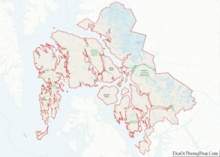
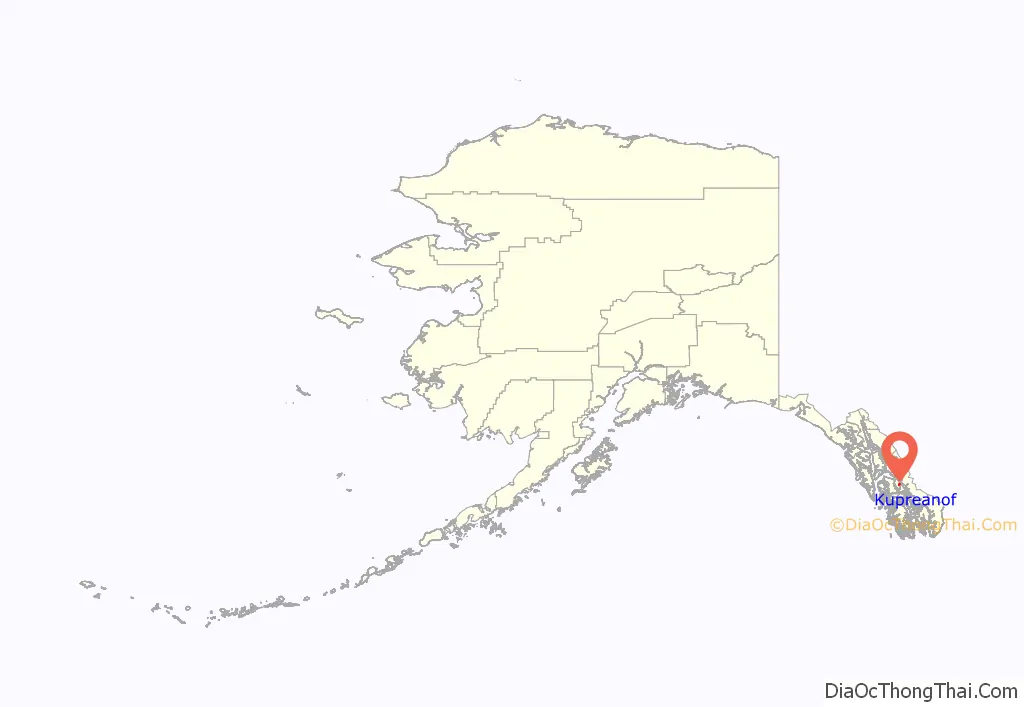
Kupreanof location map. Where is Kupreanof city?
History
Among the incorporators of Kupreanof were former longtime and much beloved Petersburg Grade School Principal Harold Bergman. Kupreanof was once called West Petersburg and was a thriving community of fur farms and commercial fishermen in the early- to mid-20th century. Gradually most residents moved over to the larger, more metropolitan city of Petersburg.
Kupreanof remained a separate municipality when the Petersburg Borough incorporated, unlike the neighboring city of Petersburg. However, Kupreanof now lies inside the Petersburg Borough, whereas before, it was a home-rule city inside the unorganized Petersburg Census Area.
Robert “Bobby” Dolan was mayor of Kupreanof for over 40 years.
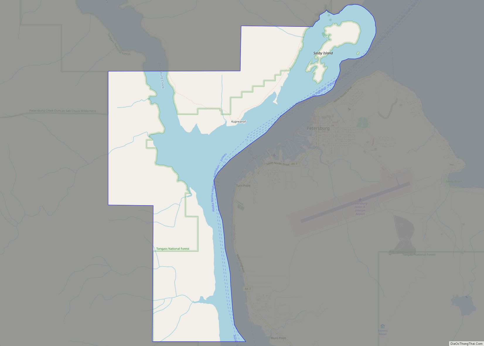
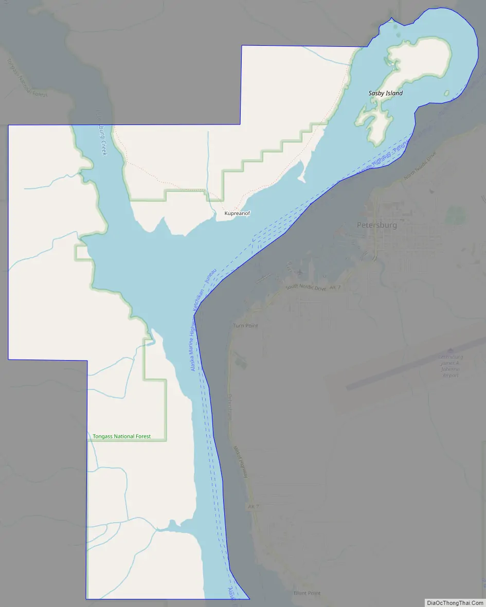
Kupreanof Road Map
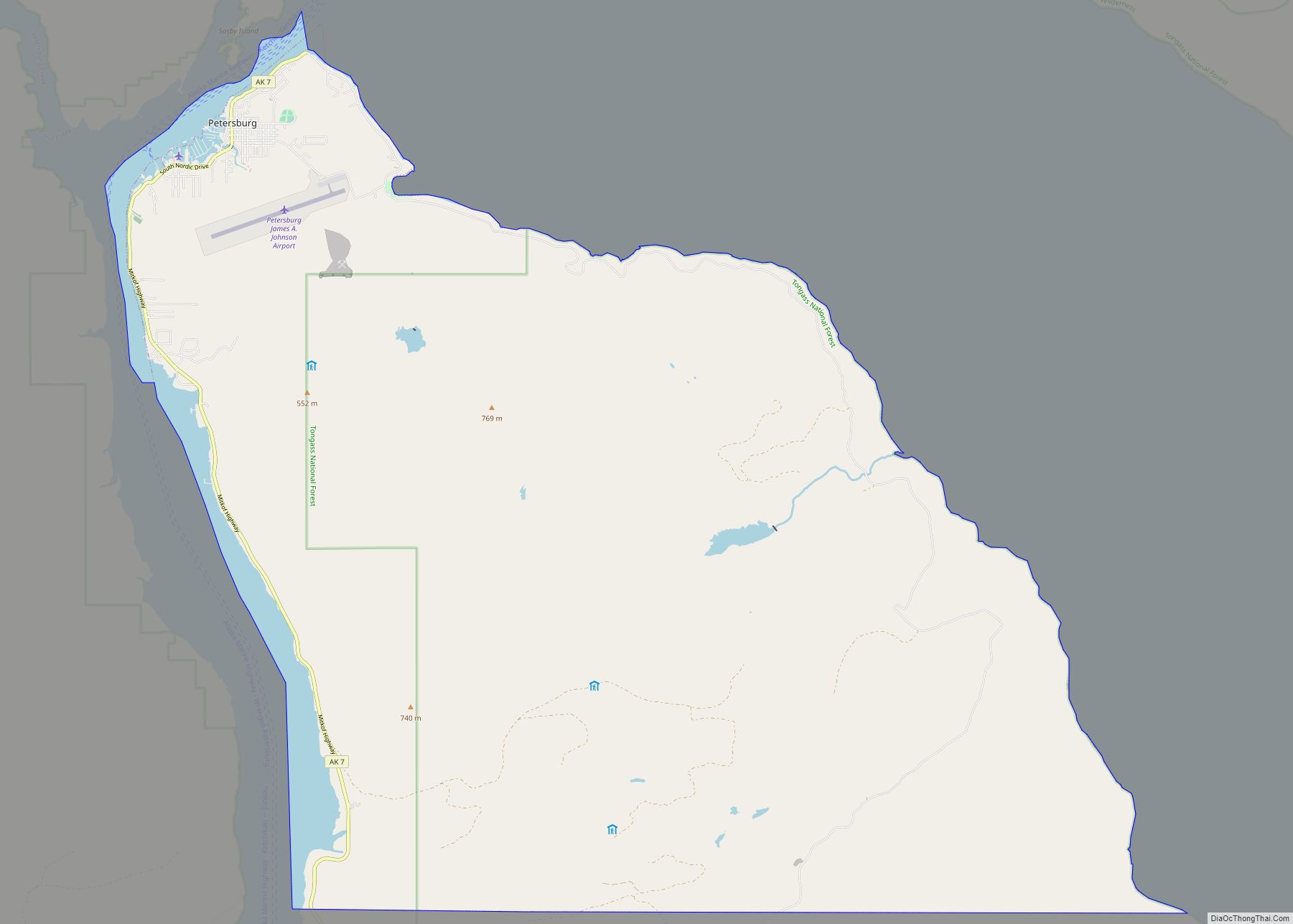
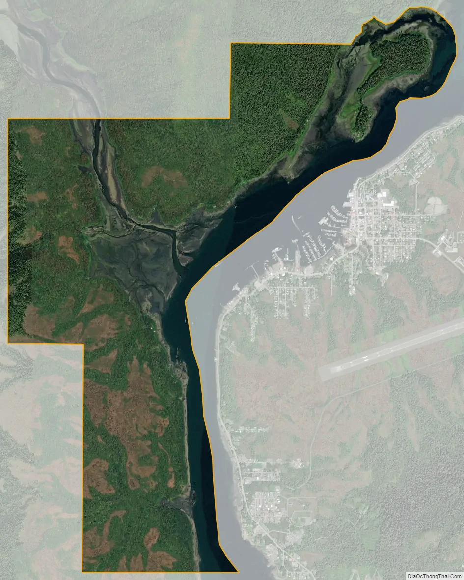
Kupreanof city Satellite Map
Geography
Kupreanof is located at 56°49′21″N 132°58′57″W / 56.82250°N 132.98250°W / 56.82250; -132.98250 (56.822384, -132.982506). It is across the Wrangell Narrows from Petersburg on Mitkof Island.
According to the United States Census Bureau, the city has a total area of 6.1 square miles (16 km), of which, 4.0 square miles (10 km) of it is land and 2.1 square miles (5.4 km) of it (34.32%) is water.
See also
Map of Alaska State and its subdivision:- Aleutians East
- Aleutians West
- Anchorage
- Bethel
- Bristol Bay
- Denali
- Dillingham
- Fairbanks North Star
- Haines
- Juneau
- Kenai Peninsula
- Ketchikan Gateway
- Kodiak Island
- Lake and Peninsula
- Matanuska-Susitna
- Nome
- North Slope
- Northwest Arctic
- Prince of Wales-Outer Ketchi
- Sitka
- Skagway-Yakutat-Angoon
- Southeast Fairbanks
- Valdez-Cordova
- Wade Hampton
- Wrangell-Petersburg
- Yukon-Koyukuk
- Alabama
- Alaska
- Arizona
- Arkansas
- California
- Colorado
- Connecticut
- Delaware
- District of Columbia
- Florida
- Georgia
- Hawaii
- Idaho
- Illinois
- Indiana
- Iowa
- Kansas
- Kentucky
- Louisiana
- Maine
- Maryland
- Massachusetts
- Michigan
- Minnesota
- Mississippi
- Missouri
- Montana
- Nebraska
- Nevada
- New Hampshire
- New Jersey
- New Mexico
- New York
- North Carolina
- North Dakota
- Ohio
- Oklahoma
- Oregon
- Pennsylvania
- Rhode Island
- South Carolina
- South Dakota
- Tennessee
- Texas
- Utah
- Vermont
- Virginia
- Washington
- West Virginia
- Wisconsin
- Wyoming