Lake Louise (Sasnuu’ Bene’ in Ahtna) is a census-designated place (CDP) in Matanuska-Susitna Borough, Alaska, United States. Although it is an isolated settlement and is close to Glennallen, it is considered part of the Anchorage Metropolitan Area, like all other locations in the Mat-Su Borough. At the 2020 census the population was 15, down from 46 in 2010 and 88 in 2000.
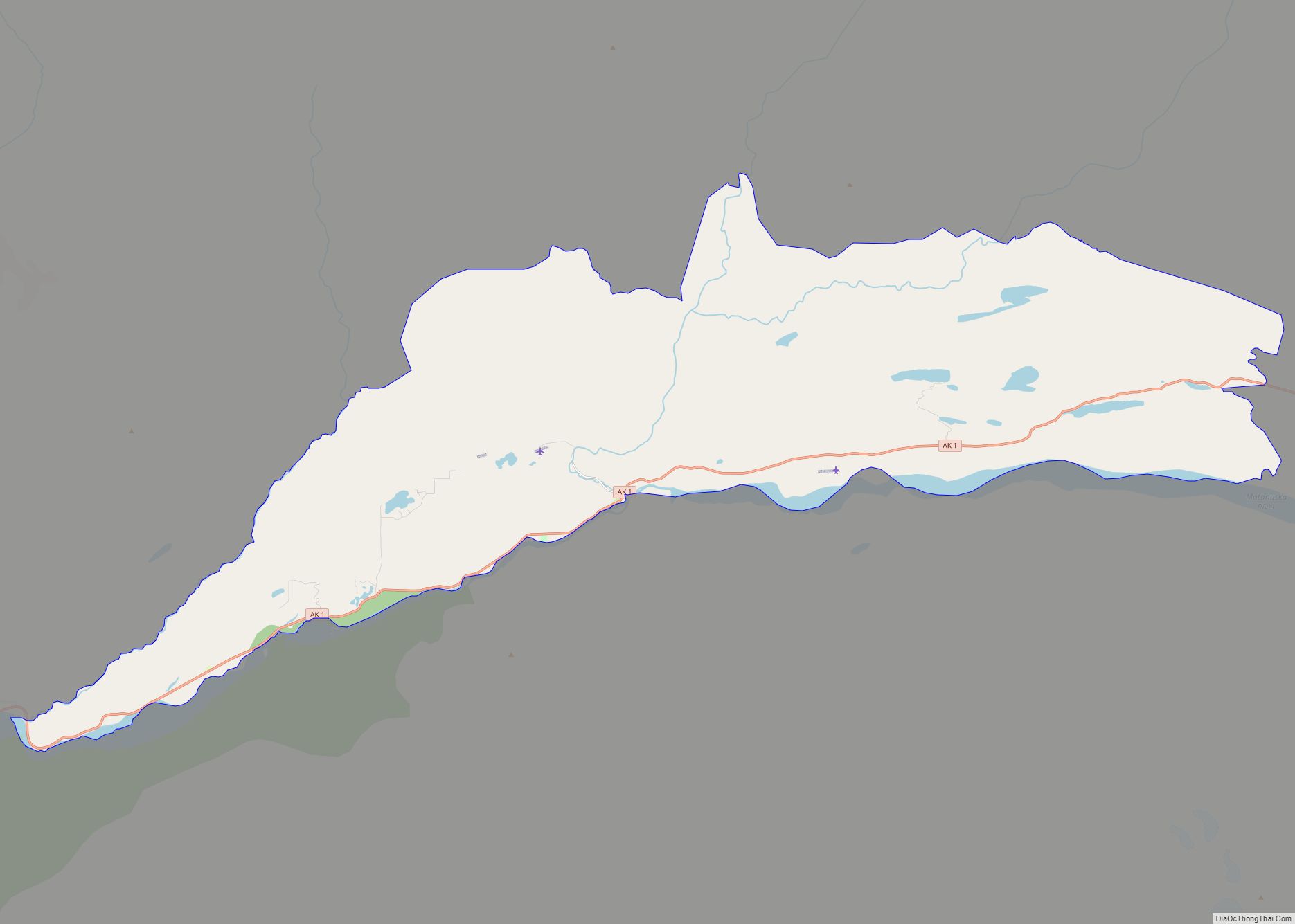
The first recorded name of Lake Louise was Shosubenich, which means “great flat water with many islands”. Later, Lake Louise was named “Lake Adah” after a girlfriend of Lieutenant Castner. Later Captain Edwin Glenn changed the name to “Lake Louise” in honor of his wife. The U.S. Army established a recreation facility at the lake towards the end of World War II and built the first road into the area. Lake Louise Road runs about 20 miles (32 km) from the Glenn Highway to the lake. There are still several dilapidated cabins at the “Army Point” campground, including one that was used for four days by General Dwight D. Eisenhower before he was president. The lake is home to the Lake Louise State Recreation Area.
| Name: | Lake Louise CDP |
|---|---|
| LSAD Code: | 57 |
| LSAD Description: | CDP (suffix) |
| State: | Alaska |
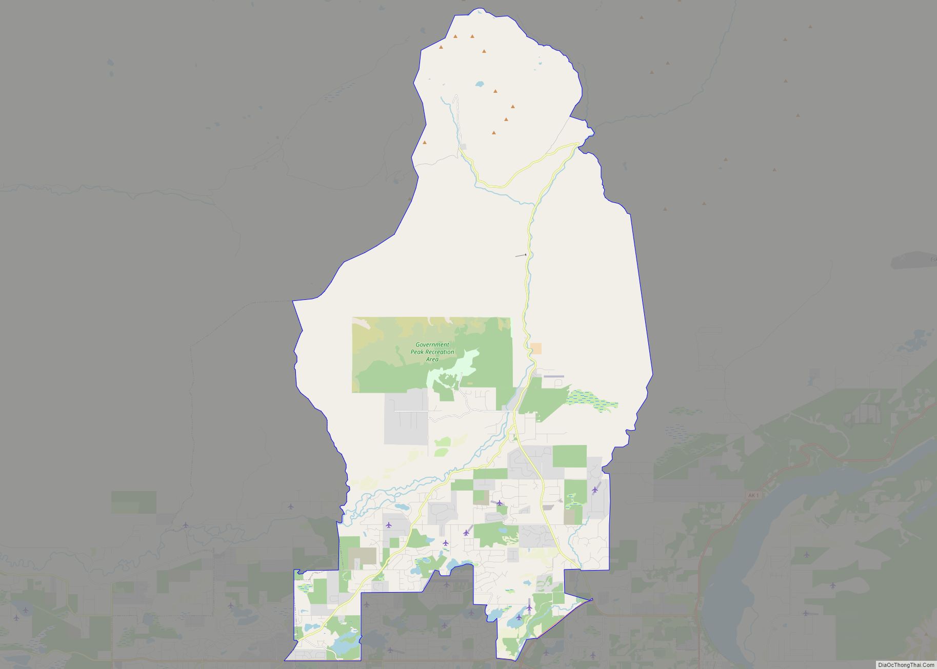
| County: | Matanuska-Susitna Borough |
| Elevation: | 2,448 ft (746 m) |
| Total Area: | 97.72 sq mi (253.09 km²) |
| Land Area: | 55.74 sq mi (144.37 km²) |
| Water Area: | 41.98 sq mi (108.72 km²) |
| Total Population: | 15 |
| Population Density: | 0.27/sq mi (0.10/km²) |
| Area code: | 907 |
| FIPS code: | 0242805 |
| GNISfeature ID: | 1865556 |
Online Interactive Map
Click on ![]() to view map in "full screen" mode.
to view map in "full screen" mode.
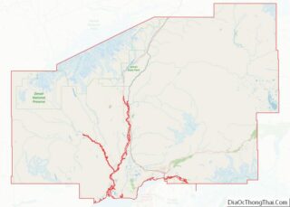
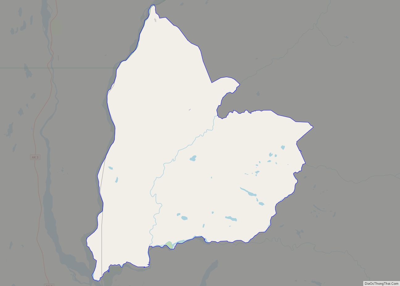
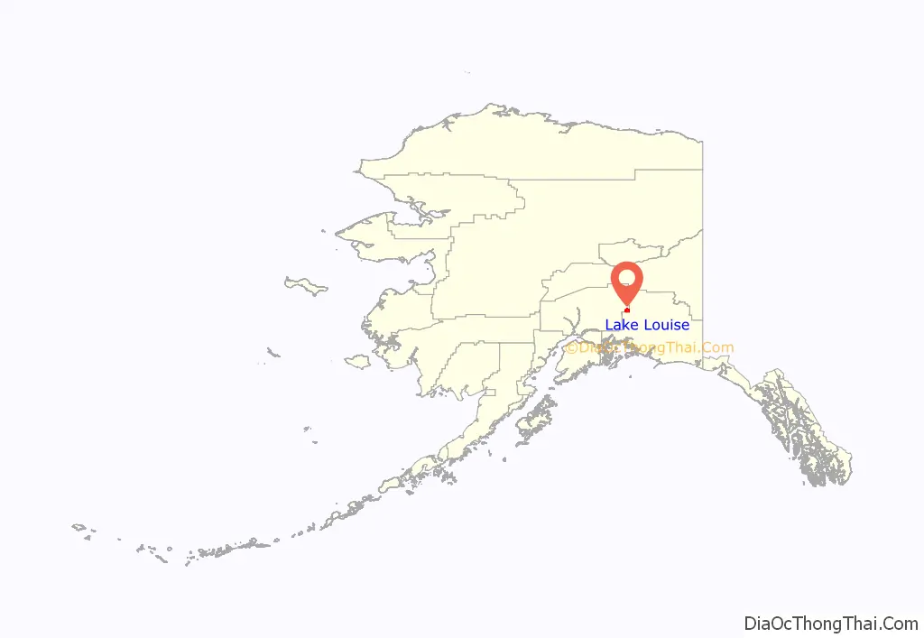
Lake Louise location map. Where is Lake Louise CDP?
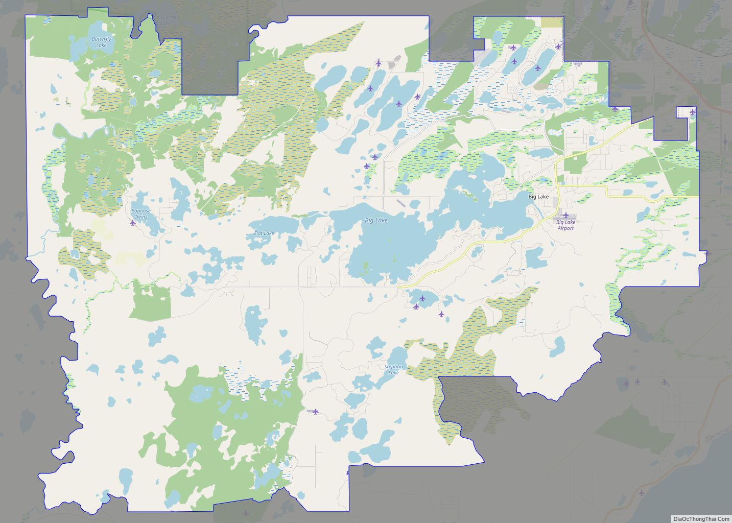
Lake Louise Road Map
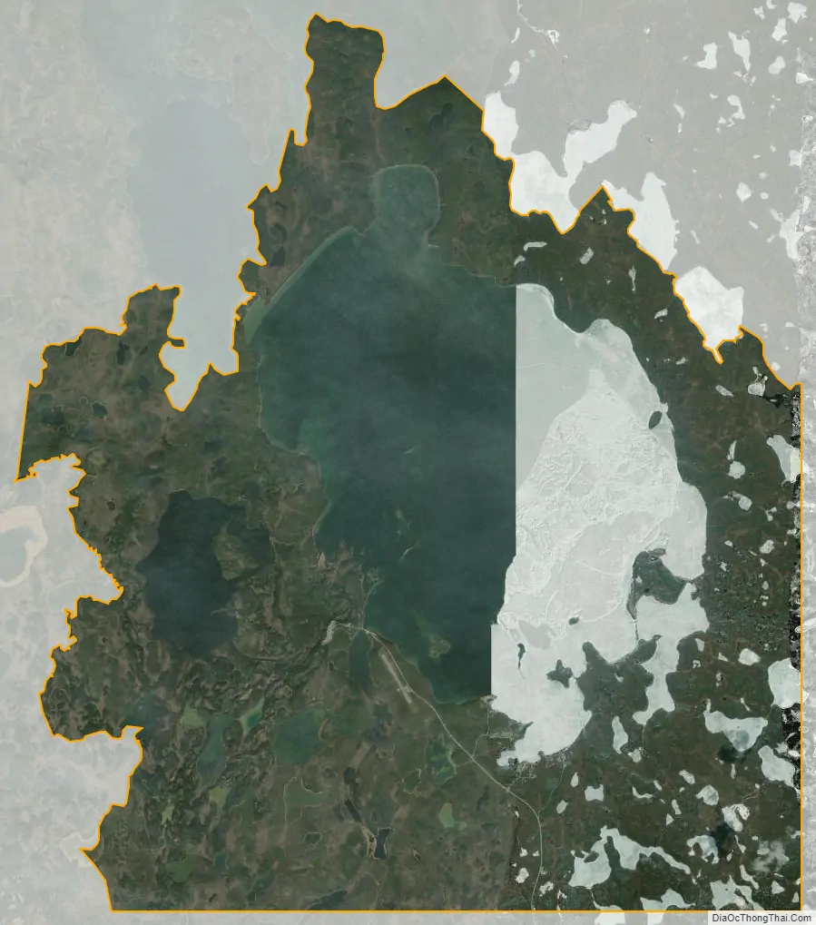
Lake Louise city Satellite Map
Geography
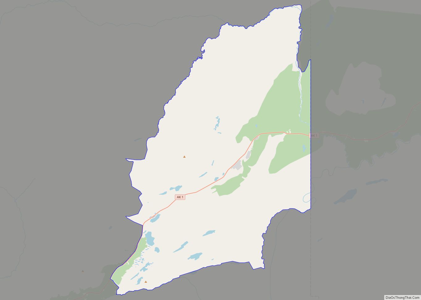
Lake Louise is located along the eastern edge of Matanuska-Susitna Borough at 62°17′4″N 146°33′25″W / 62.28444°N 146.55694°W / 62.28444; -146.55694 (62.284498, -146.557029). Lake Louise is located between four mountain ranges: the Wrangell, Talkeetna, Chugach and Alaska ranges.
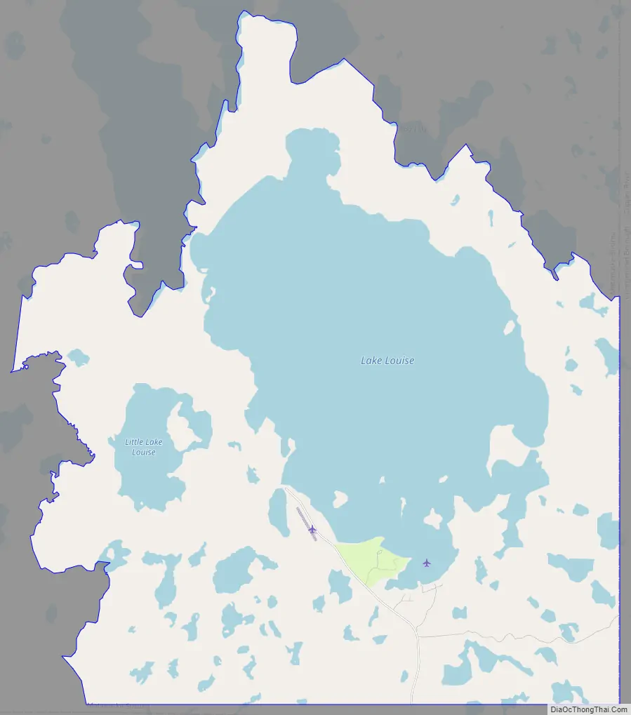
According to the United States Census Bureau, the Lake Louise CDP has a total area of 97.7 square miles (253 km), of which 55.7 square miles (144 km) are land and 42.0 square miles (109 km), or 42.96%, are water. There are many small islands at the south end of the lake, most of which have homes built on them. There are also several private resorts and marinas, and a state recreation area with campgrounds and a boat launch.
See also
Map of Alaska State and its subdivision:- Aleutians East
- Aleutians West
- Anchorage
- Bethel
- Bristol Bay
- Denali
- Dillingham
- Fairbanks North Star
- Haines
- Juneau
- Kenai Peninsula
- Ketchikan Gateway
- Kodiak Island
- Lake and Peninsula
- Matanuska-Susitna
- Nome
- North Slope
- Northwest Arctic
- Prince of Wales-Outer Ketchi
- Sitka
- Skagway-Yakutat-Angoon
- Southeast Fairbanks
- Valdez-Cordova
- Wade Hampton
- Wrangell-Petersburg
- Yukon-Koyukuk
- Alabama
- Alaska
- Arizona
- Arkansas
- California
- Colorado
- Connecticut
- Delaware
- District of Columbia
- Florida
- Georgia
- Hawaii
- Idaho
- Illinois
- Indiana
- Iowa
- Kansas
- Kentucky
- Louisiana
- Maine
- Maryland
- Massachusetts
- Michigan
- Minnesota
- Mississippi
- Missouri
- Montana
- Nebraska
- Nevada
- New Hampshire
- New Jersey
- New Mexico
- New York
- North Carolina
- North Dakota
- Ohio
- Oklahoma
- Oregon
- Pennsylvania
- Rhode Island
- South Carolina
- South Dakota
- Tennessee
- Texas
- Utah
- Vermont
- Virginia
- Washington
- West Virginia
- Wisconsin
- Wyoming