Newhalen (Central Yupik: Nuuriileng; Tanaina: Nughilen) is a city in Lake and Peninsula Borough, Alaska, United States. At the 2020 census, the population was 168.
| Name: | Newhalen city |
|---|---|
| LSAD Code: | 25 |
| LSAD Description: | city (suffix) |
| State: | Alaska |
| County: | Lake and Peninsula Borough |
| Incorporated: | October 26, 1971 |
| Elevation: | 62 ft (19 m) |
| Total Area: | 8.50 sq mi (22.01 km²) |
| Land Area: | 6.03 sq mi (15.62 km²) |
| Water Area: | 2.47 sq mi (6.39 km²) |
| Total Population: | 168 |
| Population Density: | 27.85/sq mi (10.75/km²) |
| Area code: | 907 |
| FIPS code: | 0253270 |
| GNISfeature ID: | 1406978 |
Online Interactive Map
Click on ![]() to view map in "full screen" mode.
to view map in "full screen" mode.
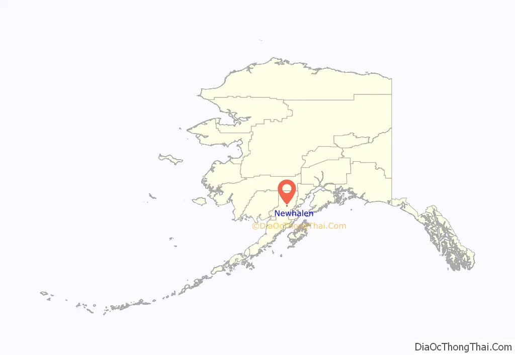
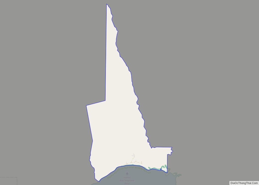
Newhalen location map. Where is Newhalen city?
History
Newhalen was originally a Yup’ik village called Noghelin, after the Newhalen River. “Newhalen” is an Anglicized version of the original name. The village was established in the late 1800s because of the bountiful fish and game in the area.
The population of Newhalen now includes Alutiiqs and Athabascans as well as Yupik. Most pursue subsistence hunting and fishing.
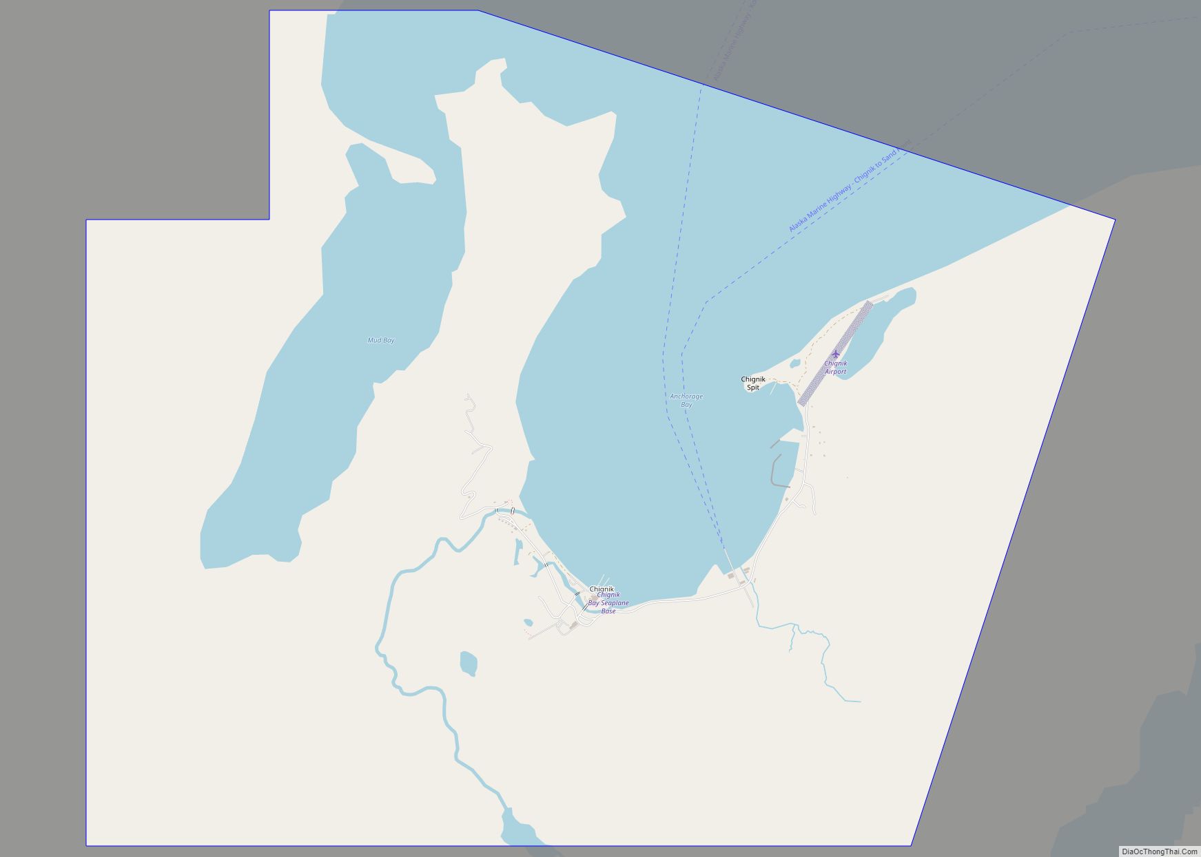
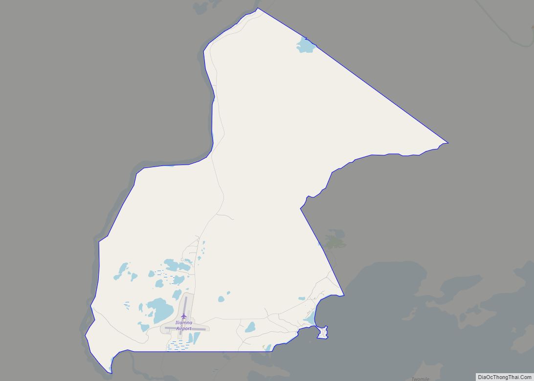
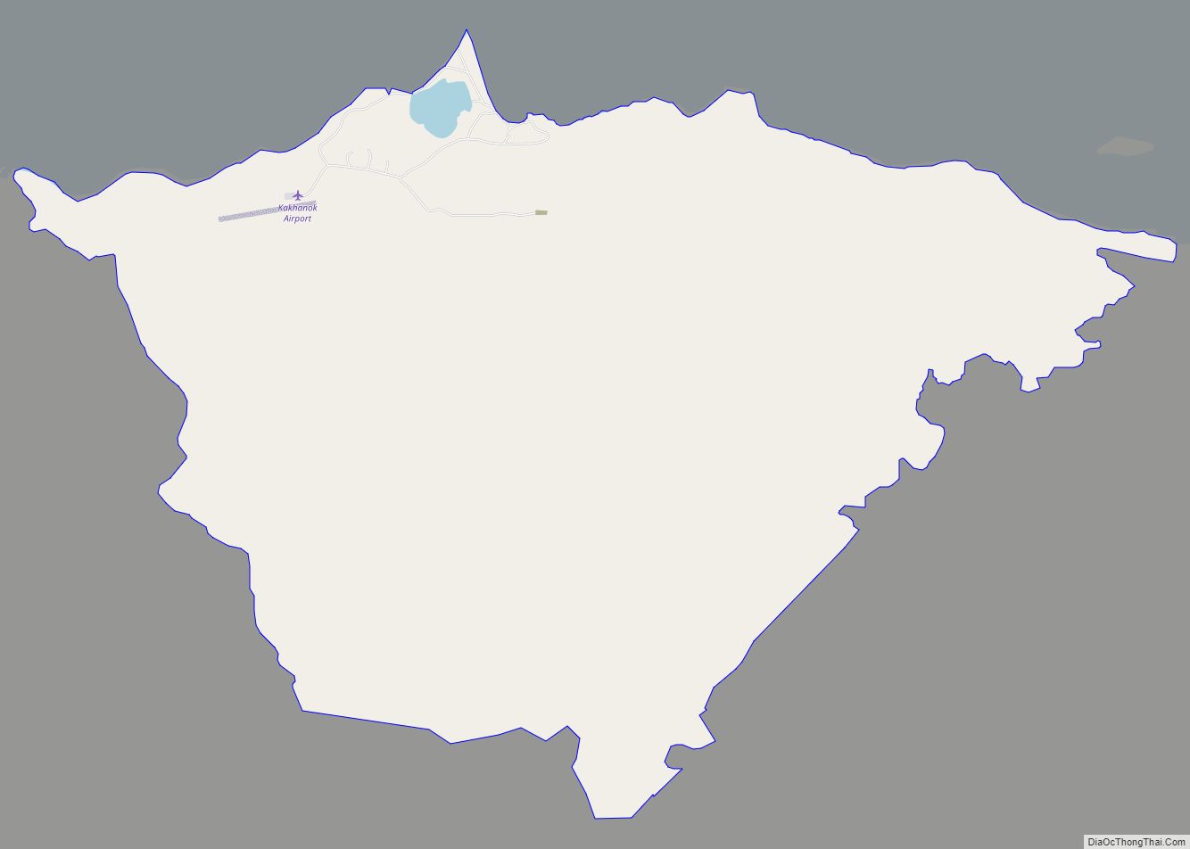
Newhalen Road Map
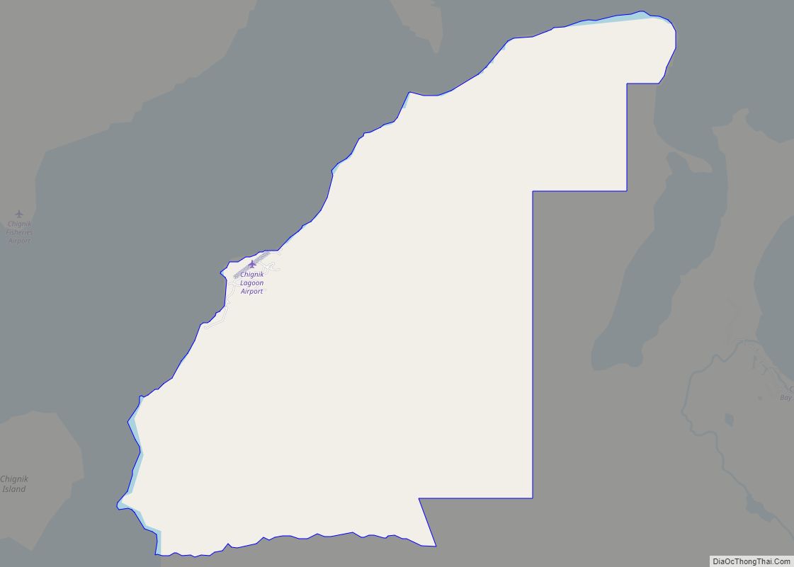
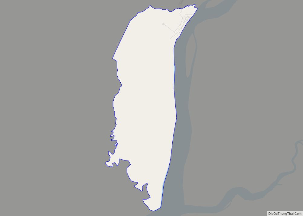
Newhalen city Satellite Map
Geography
Newhalen is located at 59°43′32″N 154°53′40″W / 59.72556°N 154.89444°W / 59.72556; -154.89444 (59.725688, -154.894442).
Newhalen is on the north shore of Iliamna Lake in southern Alaska, at the mouth of Newhalen River.
According to the United States Census Bureau, the city has a total area of 8.3 square miles (21 km), of which, 6.1 square miles (16 km) of it is land and 2.3 square miles (6.0 km) of it (27.37%) is water.
The proposed Pebble Mine site is located near Newhalen.
The nearest mountain is called Roadhouse Mountain.
See also
Map of Alaska State and its subdivision:- Aleutians East
- Aleutians West
- Anchorage
- Bethel
- Bristol Bay
- Denali
- Dillingham
- Fairbanks North Star
- Haines
- Juneau
- Kenai Peninsula
- Ketchikan Gateway
- Kodiak Island
- Lake and Peninsula
- Matanuska-Susitna
- Nome
- North Slope
- Northwest Arctic
- Prince of Wales-Outer Ketchi
- Sitka
- Skagway-Yakutat-Angoon
- Southeast Fairbanks
- Valdez-Cordova
- Wade Hampton
- Wrangell-Petersburg
- Yukon-Koyukuk
- Alabama
- Alaska
- Arizona
- Arkansas
- California
- Colorado
- Connecticut
- Delaware
- District of Columbia
- Florida
- Georgia
- Hawaii
- Idaho
- Illinois
- Indiana
- Iowa
- Kansas
- Kentucky
- Louisiana
- Maine
- Maryland
- Massachusetts
- Michigan
- Minnesota
- Mississippi
- Missouri
- Montana
- Nebraska
- Nevada
- New Hampshire
- New Jersey
- New Mexico
- New York
- North Carolina
- North Dakota
- Ohio
- Oklahoma
- Oregon
- Pennsylvania
- Rhode Island
- South Carolina
- South Dakota
- Tennessee
- Texas
- Utah
- Vermont
- Virginia
- Washington
- West Virginia
- Wisconsin
- Wyoming
