Nondalton (Dena’ina: Nuvendaltun or Nundaltin) is a town on the west shore of Six Mile Lake in the Lake and Peninsula Borough, Alaska, United States. At the 2020 census, the population was 133, down from 164 in 2010.
| Name: | Nondalton city |
|---|---|
| LSAD Code: | 25 |
| LSAD Description: | city (suffix) |
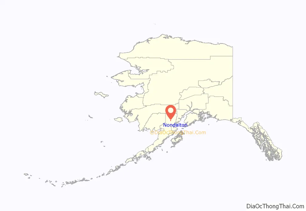
| State: | Alaska |
| County: | Lake and Peninsula Borough |
| Incorporated: | May 18, 1971 |
| Elevation: | 262 ft (80 m) |
| Total Area: | 7.01 sq mi (18.16 km²) |
| Land Area: | 6.74 sq mi (17.45 km²) |
| Water Area: | 0.27 sq mi (0.70 km²) |
| Total Population: | 133 |
| Population Density: | 19.74/sq mi (7.62/km²) |
| ZIP code: | 99640 |
| Area code: | 907 |
| FIPS code: | 0255030 |
| GNISfeature ID: | 1407129 |
Online Interactive Map
Click on ![]() to view map in "full screen" mode.
to view map in "full screen" mode.
Nondalton location map. Where is Nondalton city?
History
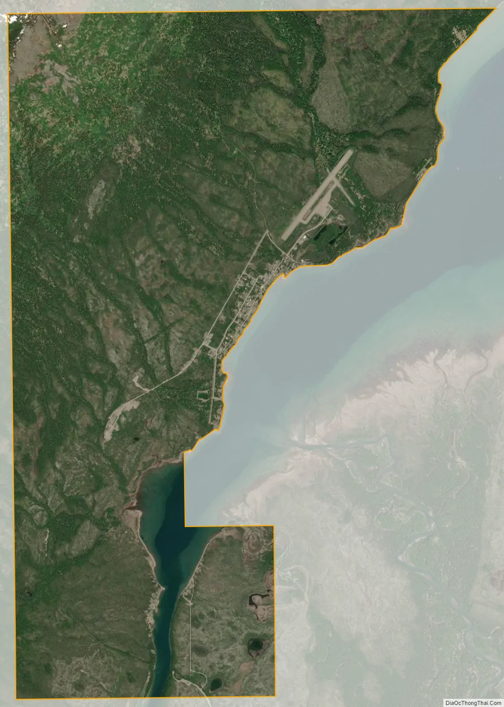
Nondalton is an Athabascan Indian (Tanaina and Iliamna) village. The name means “lake after lake” in their language: the village is situated along one of a line of lakes. Nondalton was first recorded in 1909. The village was originally located on the north shore of Six Mile Lake, but was moved to the present location in 1940, due to the depletion of wood and the growth of mud flats.
Subsistence hunting and fishing are the major economic activities. Government is by tribal council. There is a food store with a post office attached, a state-certified public school providing pre-kindergarten through 12th grade instruction, an outpatient medical clinic with family social services, a maintained Russian Orthodox church, a fishing lodge, and a water purification plant. Uncertified water is usually piped to most houses; septic tanks are used for sewage; and electric power and telephone service is available. Nondalton is on a boil drinking water notice indefinitely.
Nondalton is isolated: there are no highways or roads connecting it to other villages. The primary means of access and egress to the village is by airplane: a privately owned airport for single-engine craft services the village.
Among the issues affecting the village at the start of the 21st century is the proposed Pebble Mine site in the vicinity of nearby Lake Iliamna.
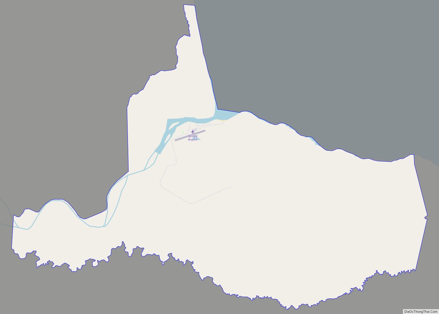
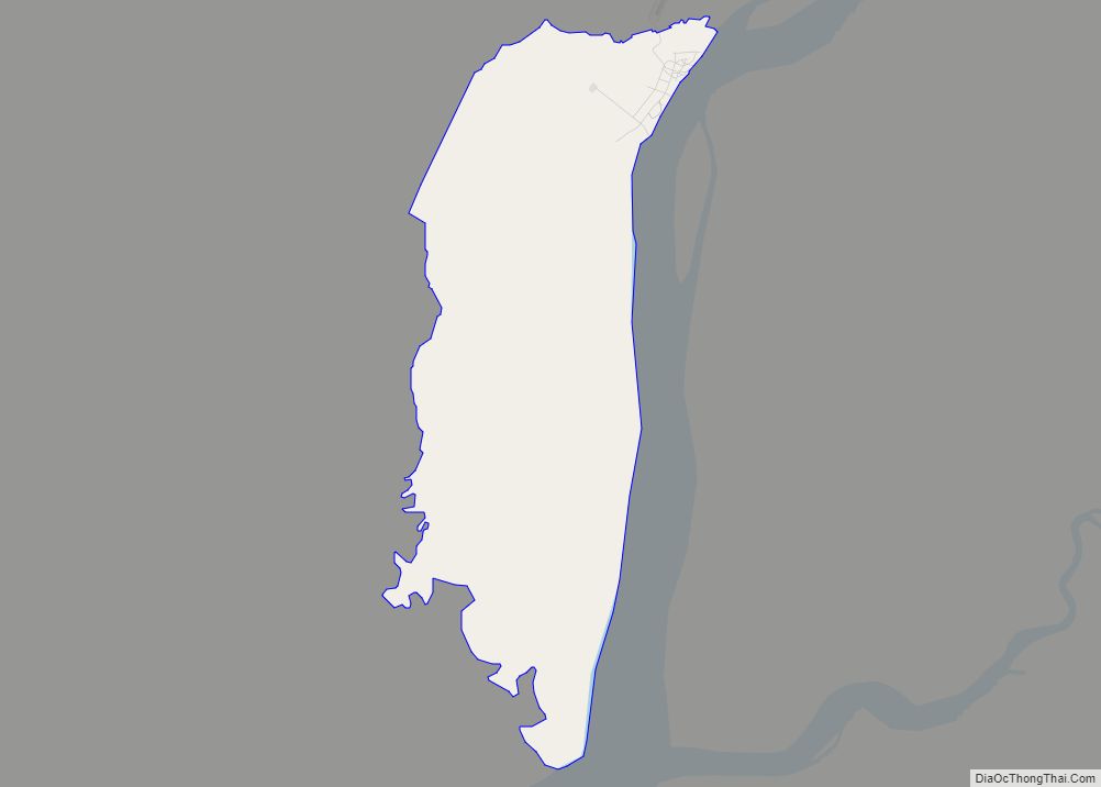
Nondalton Road Map
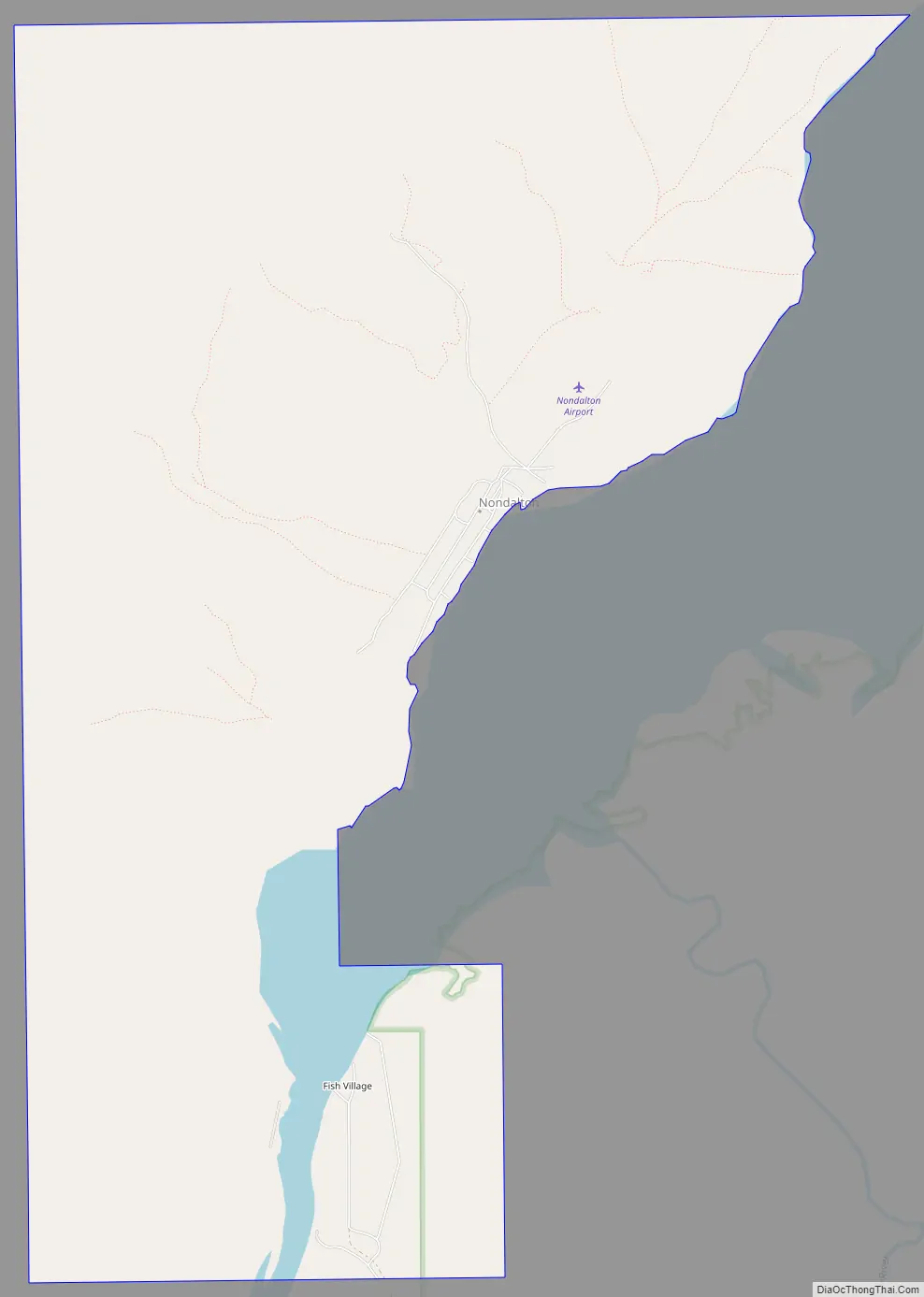
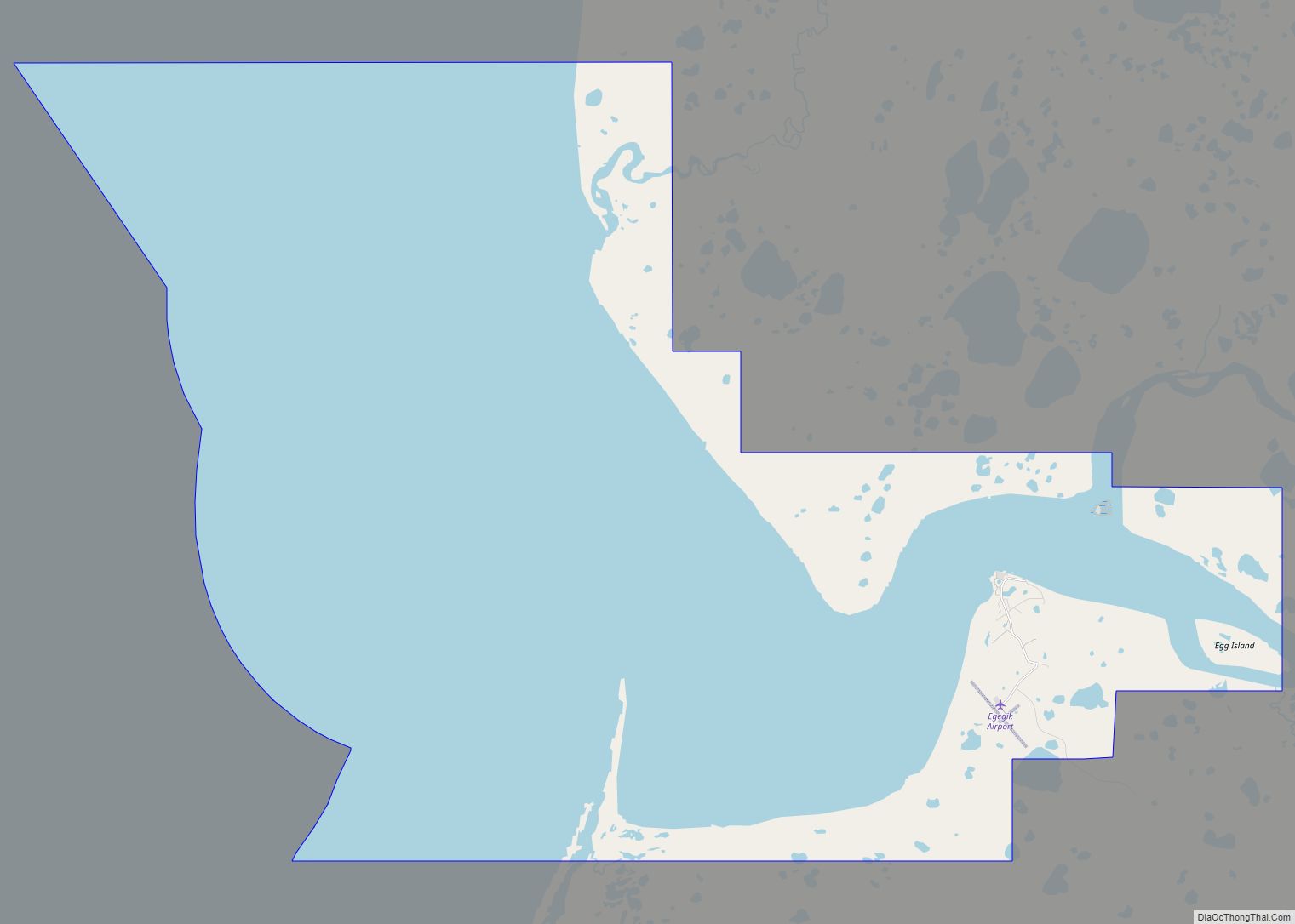
Nondalton city Satellite Map
Geography
Nondalton is located at 59°58′1″N 154°51′6″W / 59.96694°N 154.85167°W / 59.96694; -154.85167 (59.967015, -154.851636).
According to the United States Census Bureau, the village has a total area of 8.8 square miles (23 km), of which 8.4 square miles (22 km) is land and 0.4 square miles (1.0 km) (4.57%) is water.
See also
Map of Alaska State and its subdivision:- Aleutians East
- Aleutians West
- Anchorage
- Bethel
- Bristol Bay
- Denali
- Dillingham
- Fairbanks North Star
- Haines
- Juneau
- Kenai Peninsula
- Ketchikan Gateway
- Kodiak Island
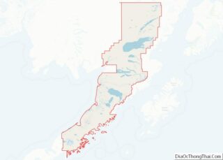
- Lake and Peninsula
- Matanuska-Susitna
- Nome
- North Slope
- Northwest Arctic
- Prince of Wales-Outer Ketchi
- Sitka
- Skagway-Yakutat-Angoon
- Southeast Fairbanks
- Valdez-Cordova
- Wade Hampton
- Wrangell-Petersburg
- Yukon-Koyukuk
- Alabama
- Alaska
- Arizona
- Arkansas
- California
- Colorado
- Connecticut
- Delaware
- District of Columbia
- Florida
- Georgia
- Hawaii
- Idaho
- Illinois
- Indiana
- Iowa
- Kansas
- Kentucky
- Louisiana
- Maine
- Maryland
- Massachusetts
- Michigan
- Minnesota
- Mississippi
- Missouri
- Montana
- Nebraska
- Nevada
- New Hampshire
- New Jersey
- New Mexico
- New York
- North Carolina
- North Dakota
- Ohio
- Oklahoma
- Oregon
- Pennsylvania
- Rhode Island
- South Carolina
- South Dakota
- Tennessee
- Texas
- Utah
- Vermont
- Virginia
- Washington
- West Virginia
- Wisconsin
- Wyoming