North Pole is a small city in the Fairbanks North Star Borough, Alaska, United States. Incorporated in 1953, it is part of the Fairbanks metropolitan statistical area. As of the 2020 census, the city had a population of 2,243, up from 2,117 in 2010. Despite its name, the city is about 1,700 miles (2,700 km) south of Earth’s geographic North Pole and 125 miles (200 km) south of the Arctic Circle.
| Name: | North Pole city |
|---|---|
| LSAD Code: | 25 |
| LSAD Description: | city (suffix) |
| State: | Alaska |
| County: | Fairbanks North Star Borough |
| Incorporated: | January 15, 1953 |
| Elevation: | 482 ft (147 m) |
| Total Area: | 4.10 sq mi (10.62 km²) |
| Land Area: | 4.08 sq mi (10.58 km²) |
| Water Area: | 0.01 sq mi (0.04 km²) |
| Total Population: | 2,243 |
| Population Density: | 549.08/sq mi (212.00/km²) |
| ZIP code: | 99705 |
| Area code: | 907 |
| FIPS code: | 0255910 |
| GNISfeature ID: | 1407230 |
| Website: | www.northpolealaska.com |
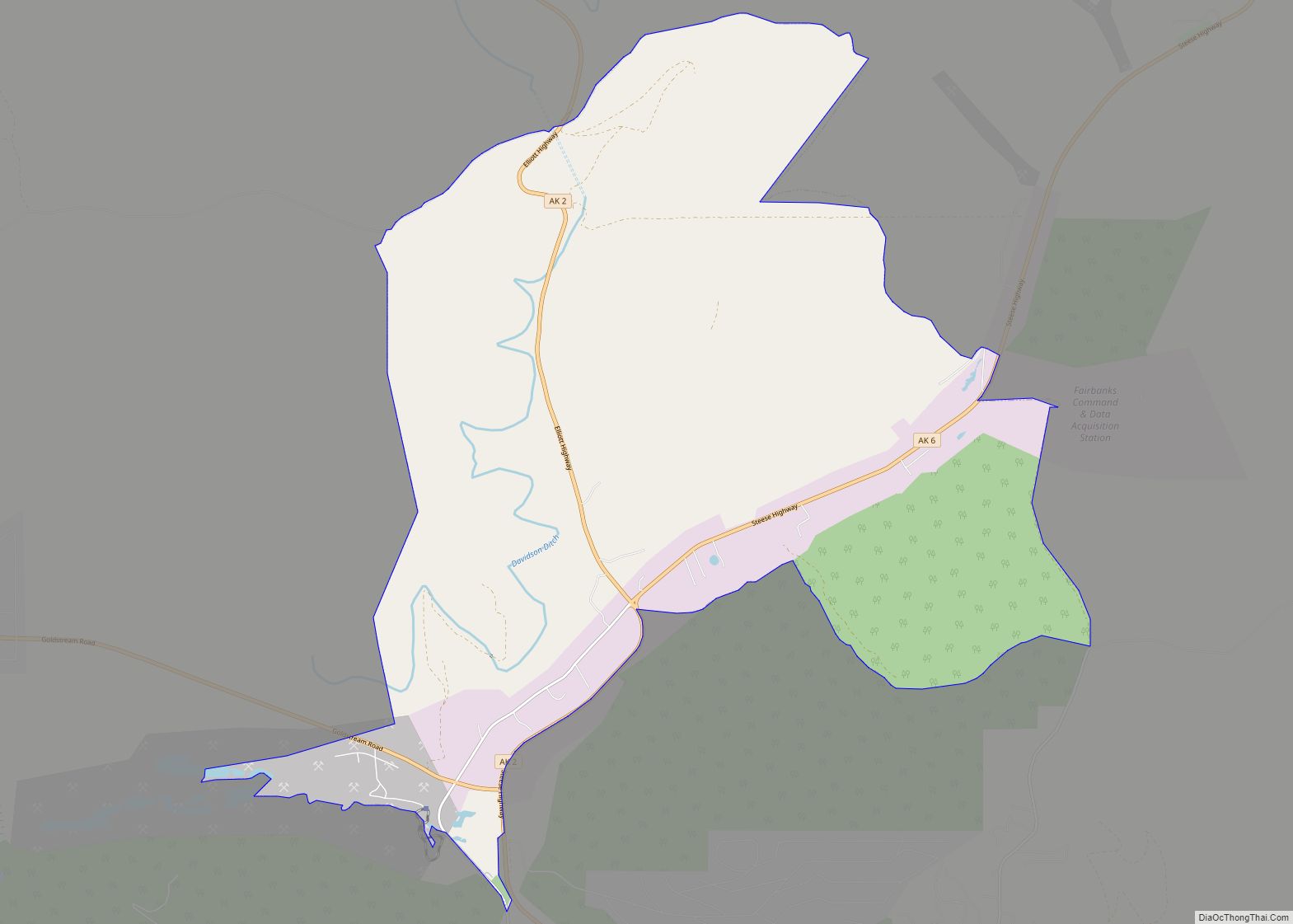
Online Interactive Map
Click on ![]() to view map in "full screen" mode.
to view map in "full screen" mode.
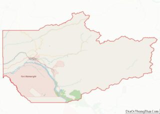
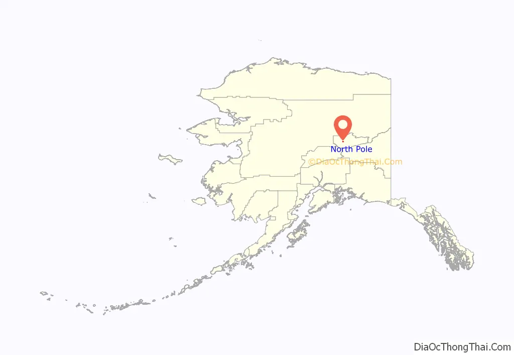
North Pole location map. Where is North Pole city?
History
The Richardson Highway south of Fairbanks led to an assortment of subdivided and unsubdivided homesteads between Ladd Field and 26 Mile Field in the 1940s and 1950s.
The area that formed the central city of North Pole was homesteaded in 1944 by Bon V. and Bernice Davis. Their son, T. Neil Davis, wrote Battling Against Success in 1997, a fictionalized account of homestead life. The Alaska Railroad established a siding on the Davis homestead as part of its branch line to Eielson Air Force Base, naming the siding Davis. This name temporarily became associated with the fledgling settlement.
In 1952, Dahl and Gaske Development Company purchased the Davis homestead, subdivided it, and renamed it North Pole, in hopes of attracting a toy manufacturer to the area. The City of North Pole was incorporated on January 15, 1953 from portions of the Davis homestead and the adjacent homestead of James Ford. Ford was named the first mayor, with Everett Dahl serving on the first city council.
Another member of that first council was Conrad B. Miller. Miller, who came to Fairbanks in 1949, opened a trading post along the highway in 1952. The business became known as the Santa Claus House, and has evolved over the years into the current roadside attraction. The business was also home to North Pole’s first post office, serving in that capacity for almost 20 years. Another trading post in the community was operated by Lucius Cunningham and his family. The town’s economy largely depended on these two businesses until the 1970s, when the current four-lane Richardson Highway was built, bypassing Davis Subdivision, which was effectively its downtown.
The Earth Resources refinery (now operated by Flint Hills Resources) began operations in August 1977. It is connected to the Trans-Alaska Pipeline System by several feeder pipelines operated by Golden Valley Electric Association, mostly following along the Laurence Road section line. The years after its construction saw the construction of the North Pole Plaza, a large enclosed shopping mall along the Richardson Highway. A standalone high school and increased subdivision development in previously rural areas immediately outside the city followed before the real estate market temporarily collapsed during the 1980s.
An interchange was constructed along the Richardson, where the highway intersects with the eastern end of Badger Road and the northern end of Santa Claus Lane, during the early 1990s. In the late 2000s, the northern portion of Santa Claus Lane was rebuilt to accommodate three consecutive roundabouts, serving the interchange and a nearby frontage road intersection. Another interchange was constructed on the Richardson at Dawson Road, at the far eastern edge of city limits. These improvements eliminated a number of at-grade access points to the Richardson, which had accumulated a decades-long history of serious accidents.
On April 22, 2006, police arrested several students at North Pole Middle School for allegedly plotting a school shooting, much along the lines of the Columbine High School massacre. Death in Santaland, a TV documentary about the town and the foiled school shooting plot, was made by the British journalist Jon Ronson and broadcast on the television channel More 4 in 2007.
The city government has had an often contentious history. A past mayor, Jeff Jacobson, was criticized for maintaining his full-time mayor’s job while at the same time working full-time as a teacher at North Pole Middle School. In 2004, he sent a letter (and a lump of coal) to U.S. Senator John McCain about a comment he made regarding why the city’s “elves” needed money for a recreation project that he considered a pork barrel project.
The current mayor of North Pole is Michael Welch. The city council consists of six members serving staggered three-year terms, with municipal elections held each October. In 2022, the city council consists of Santa Claus (2019–2022), Aino Welch (2020–2023), DeJohn Cromer (2020–2023), David Skipps (2021–2024), and Anton Keller (2021–2024).
In 2014, Americans for Prosperity quickly pulled an ad campaign in Alaska after Koch Industries closed the Flint Hills Resources Refinery in North Pole.
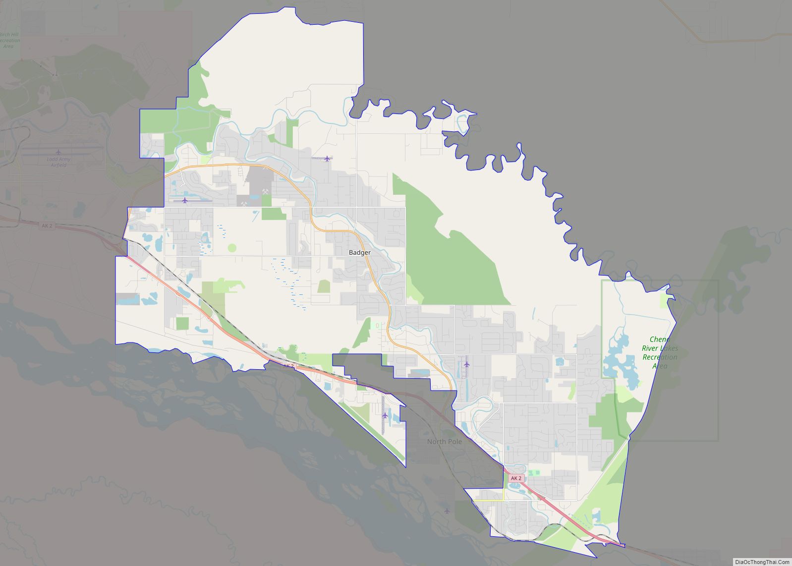
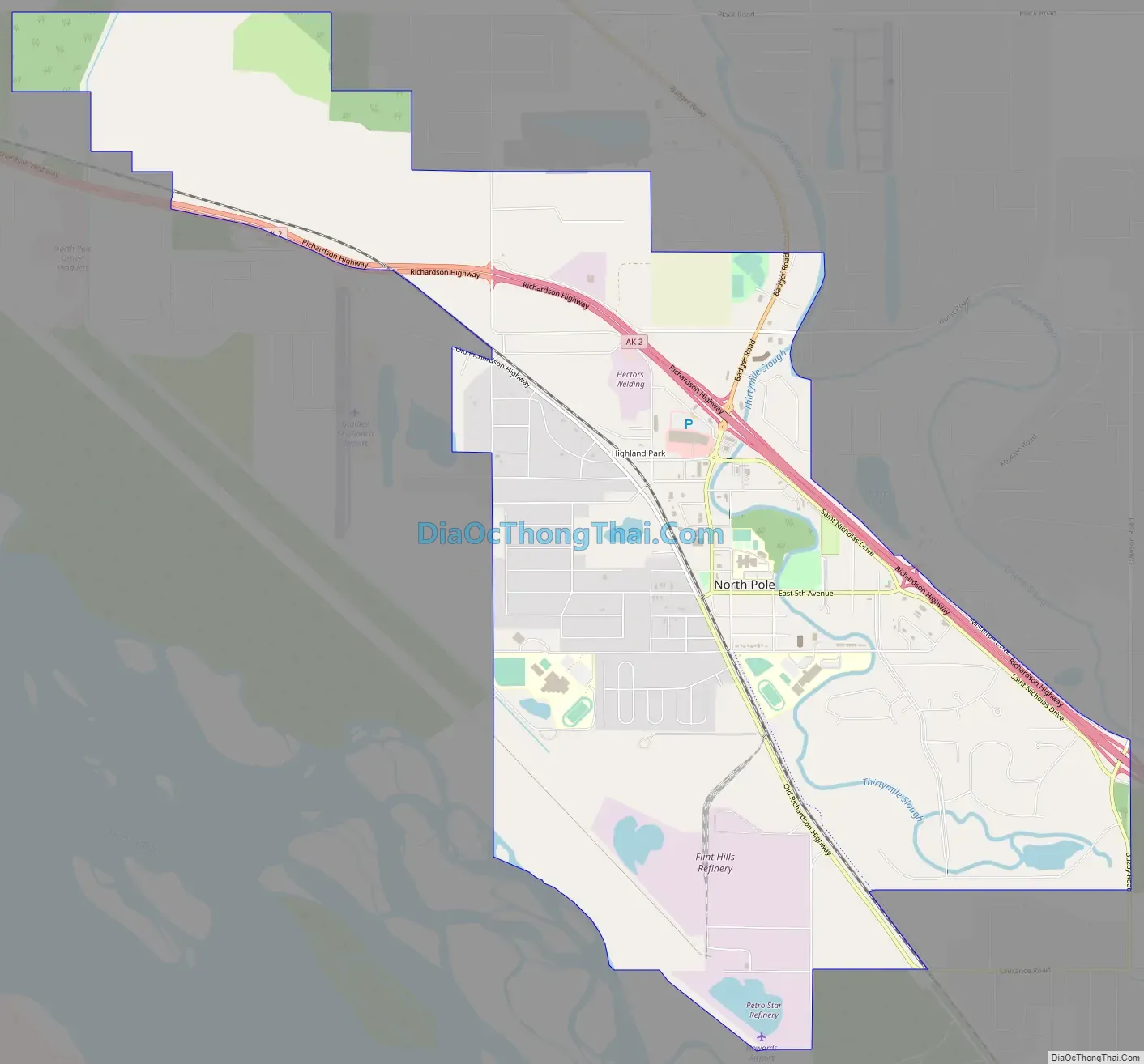
North Pole Road Map
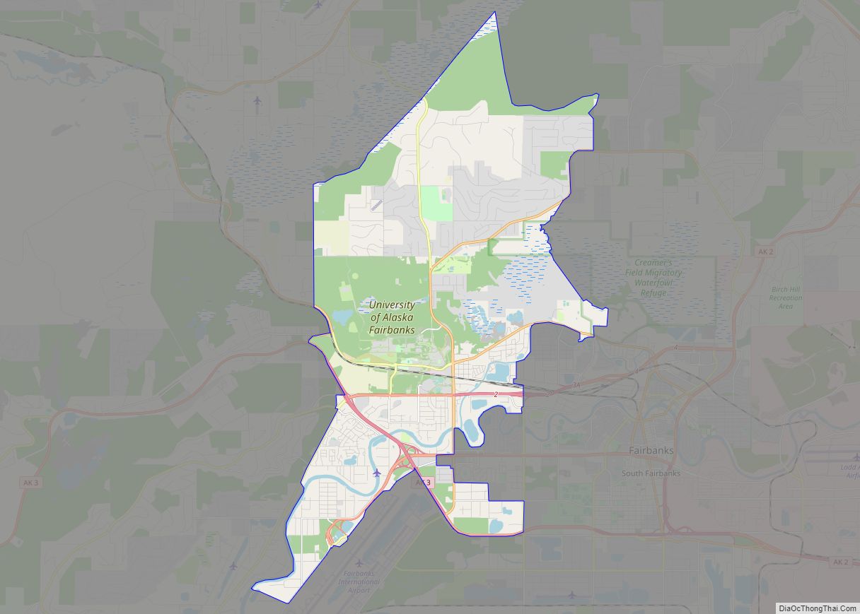
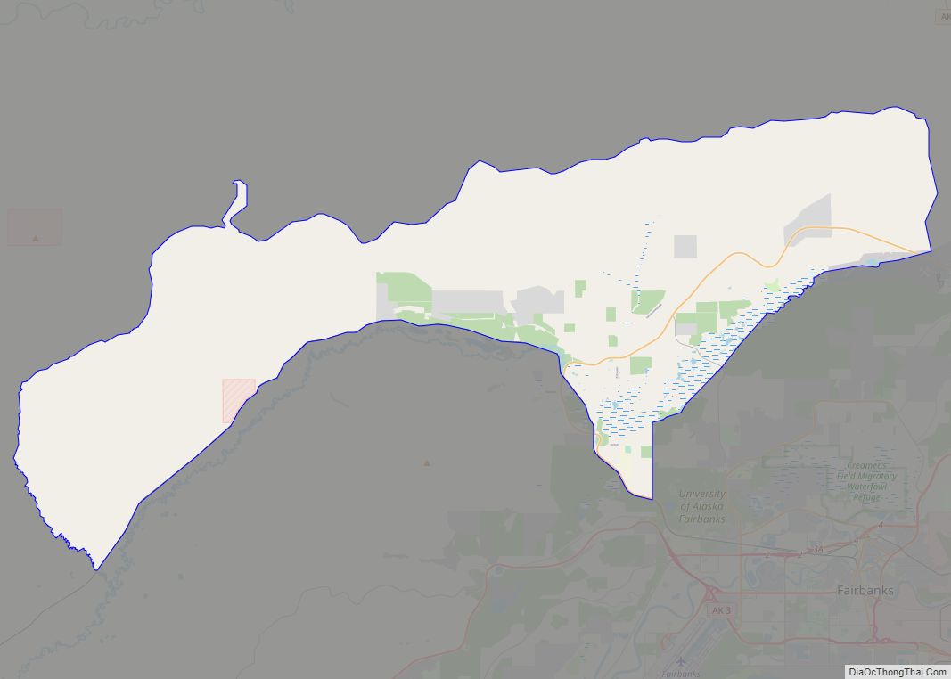
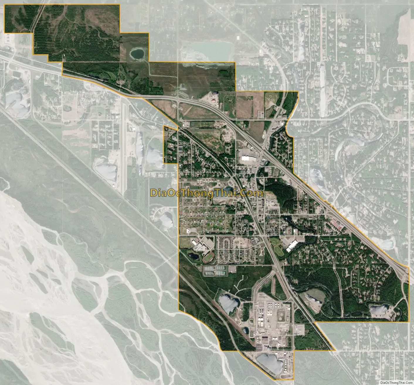
North Pole city Satellite Map
Geography
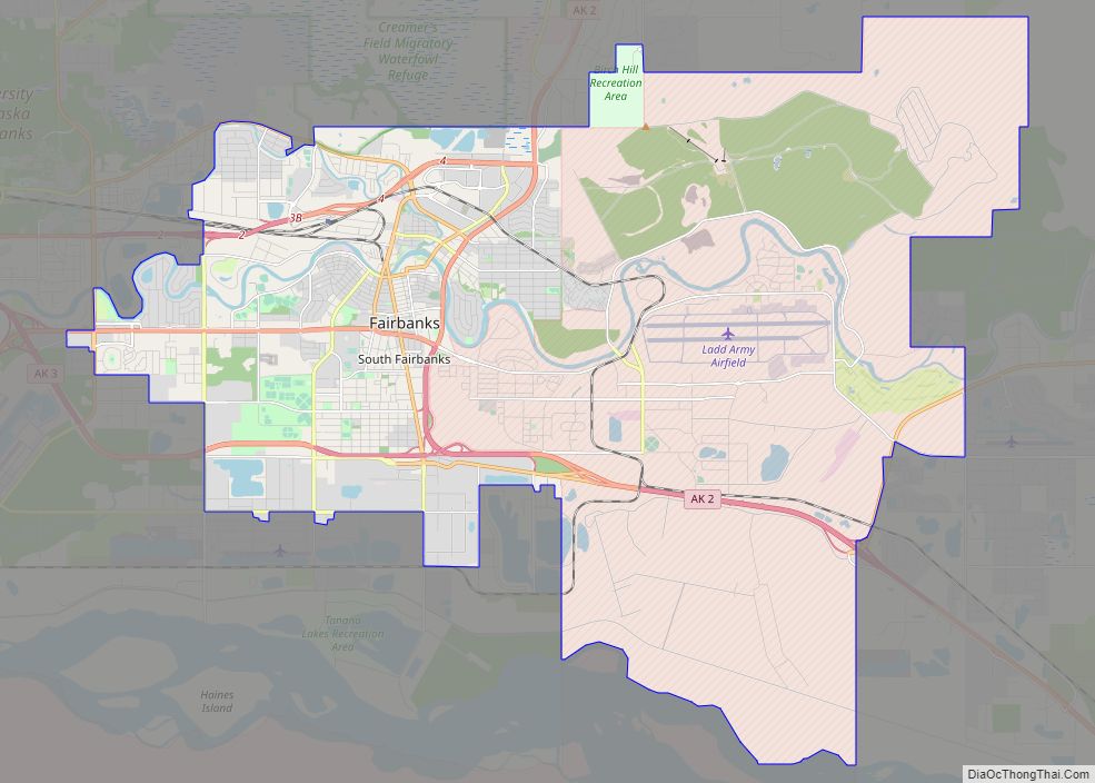
North Pole is located at 64°45′04″N 147°21′07″W / 64.75111°N 147.35194°W / 64.75111; -147.35194 (64°45′04″N 147°21′07″W / 64.75111°N 147.35194°W / 64.75111; -147.35194). It is 13 miles (21 km) southeast of Fairbanks on the Richardson Highway. The city is about 1,700 mi (2,700 km) south of Earth’s geographic North Pole.
According to the United States Census Bureau, the city has an area of 4.2 square miles (11 km), of which 4.2 square miles (11 km) is land and 0.04 square miles (0.10 km) (0.47%) is water. The city is to the north and east of the Tanana River, though access to the river is not easy due to the extensive system of levees. Beaver Springs Slough meanders through the heart of the city, emptying into Chena Slough.
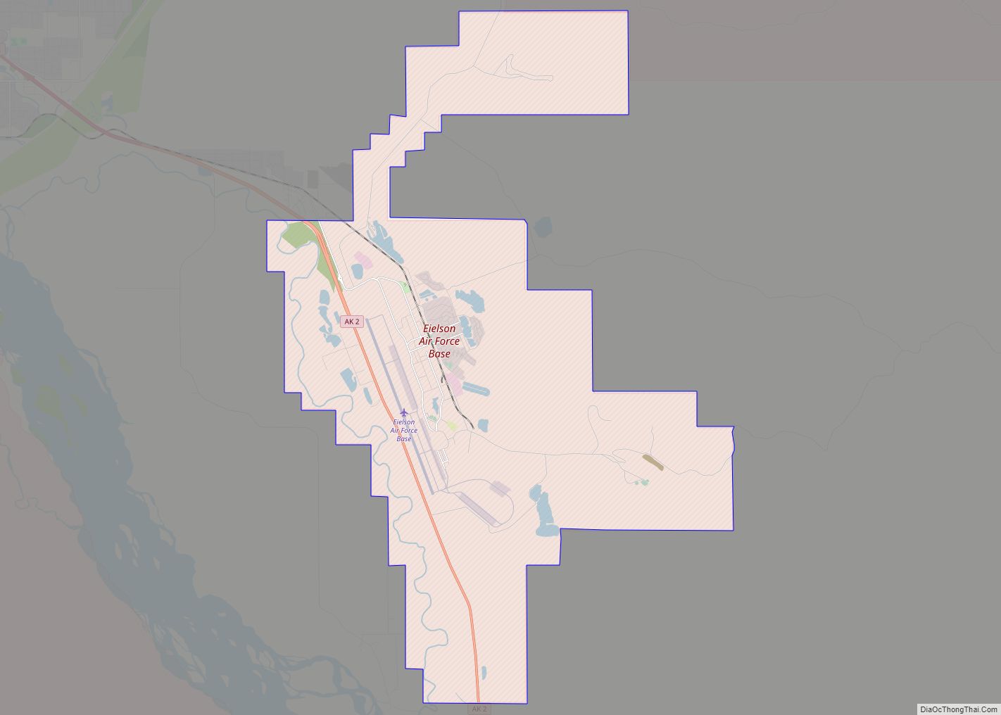
North Pole is the recommended city name for all of ZIP Code 99705, which stretches between Fort Wainwright and Eielson Air Force Base, and between the Chena River and the Tanana River, including the census-designated places of Badger, which spans subdivisions connecting the eastern edge of Fairbanks and North Pole, and Moose Creek.
Climate
North Pole has a subarctic climate (Köppen Dfc). Temperatures in North Pole are heavily affected by the amount of sunlight with almost no seasonal lag effect from solar radiation. North Pole’s Santa Claus House is actually closed during the week in January and February due to extreme cold in those months. Due to being landlocked and protected by mountain ranges from marine influences, North Pole, much like the rest of the Alaskan Interior, sees little seasonal lag and much greater seasonal temperature swings than areas along the coast such as Anchorage, with winters that can dip to many tens of degrees below zero Fahrenheit with average lows remaining below 0 from November 5 to March 18, and summers that see many days in the 70s, 80s, and on occasion, even 90s F.
See also
Map of Alaska State and its subdivision:- Aleutians East
- Aleutians West
- Anchorage
- Bethel
- Bristol Bay
- Denali
- Dillingham
- Fairbanks North Star
- Haines
- Juneau
- Kenai Peninsula
- Ketchikan Gateway
- Kodiak Island
- Lake and Peninsula
- Matanuska-Susitna
- Nome
- North Slope
- Northwest Arctic
- Prince of Wales-Outer Ketchi
- Sitka
- Skagway-Yakutat-Angoon
- Southeast Fairbanks
- Valdez-Cordova
- Wade Hampton
- Wrangell-Petersburg
- Yukon-Koyukuk
- Alabama
- Alaska
- Arizona
- Arkansas
- California
- Colorado
- Connecticut
- Delaware
- District of Columbia
- Florida
- Georgia
- Hawaii
- Idaho
- Illinois
- Indiana
- Iowa
- Kansas
- Kentucky
- Louisiana
- Maine
- Maryland
- Massachusetts
- Michigan
- Minnesota
- Mississippi
- Missouri
- Montana
- Nebraska
- Nevada
- New Hampshire
- New Jersey
- New Mexico
- New York
- North Carolina
- North Dakota
- Ohio
- Oklahoma
- Oregon
- Pennsylvania
- Rhode Island
- South Carolina
- South Dakota
- Tennessee
- Texas
- Utah
- Vermont
- Virginia
- Washington
- West Virginia
- Wisconsin
- Wyoming