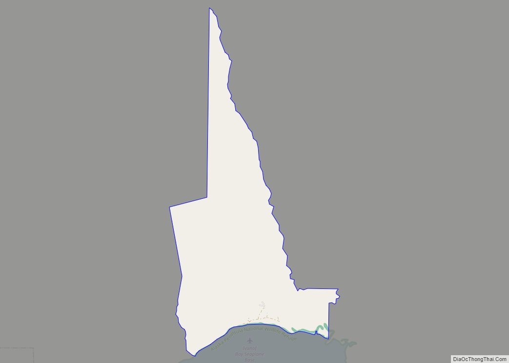
Perryville (Alutiiq: Perry-q) is a census-designated place (CDP) in Lake and Peninsula Borough, Alaska, United States. The population was 88 at the 2020 census, down from 113 in 2010.
| Name: | Perryville CDP |
|---|---|
| LSAD Code: | 57 |
| LSAD Description: | CDP (suffix) |
| State: | Alaska |
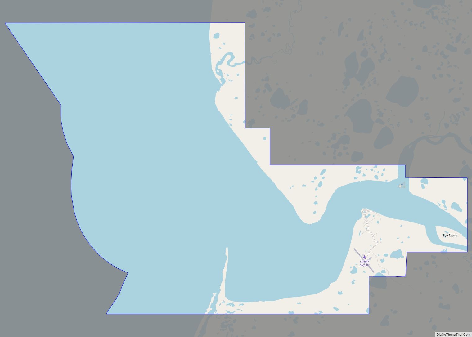
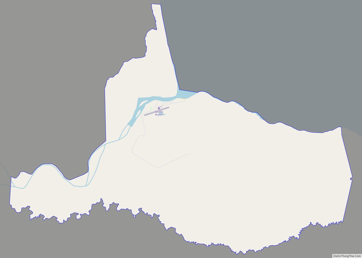
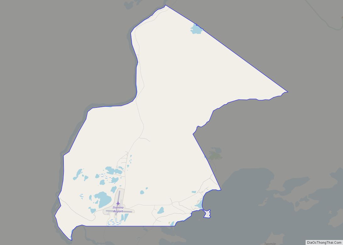
| County: | Lake and Peninsula Borough |
| Total Area: | 11.18 sq mi (28.94 km²) |
| Land Area: | 11.17 sq mi (28.93 km²) |
| Water Area: | 0.01 sq mi (0.02 km²) |
| Total Population: | 88 |
| Population Density: | 7.88/sq mi (3.04/km²) |
| ZIP code: | 99648 |
| Area code: | 907 |
| FIPS code: | 0260200 |
Online Interactive Map
Click on ![]() to view map in "full screen" mode.
to view map in "full screen" mode.
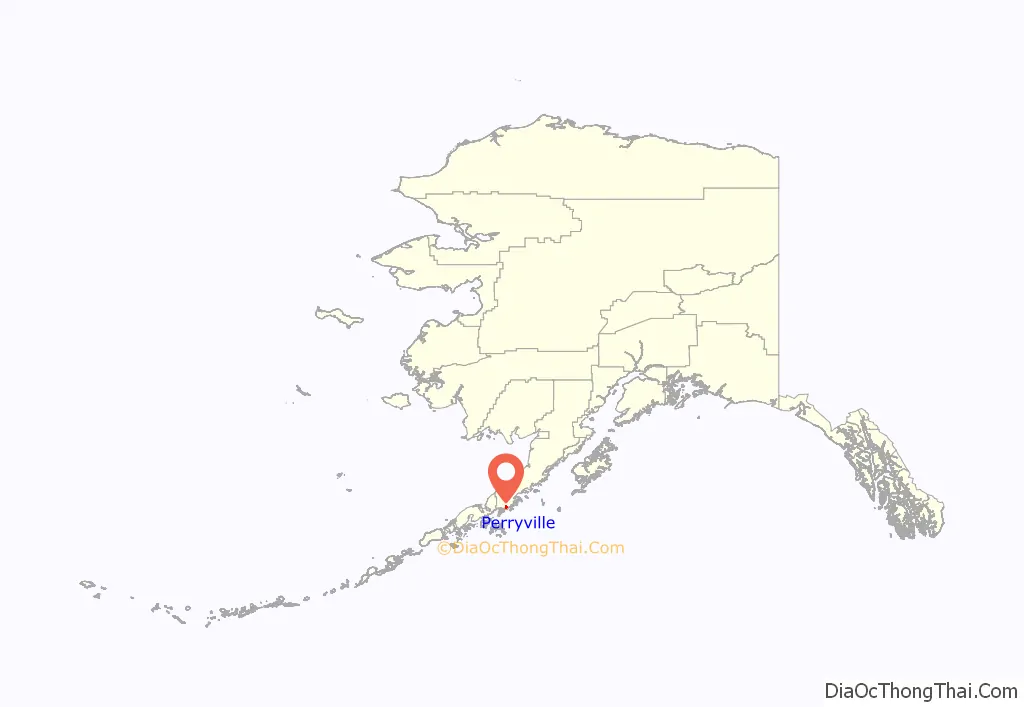
Perryville location map. Where is Perryville CDP?
History
Mount Katmai erupted on June 6, 1912, permanently displacing many local native people. One month after the eruption, 78 of the Katmai refugees boarded the U.S. revenue cutter Manning to return to the Alaska Peninsula and establish a new village. After a failed first village site selection, the natives were relocated yet again to a spot 200 miles (320 km) southwest of Mt. Katmai. The new settlement was named “Perry”, and later became known as “Perryville”, for K.W. Perry, captain of the Manning.
On July 29, 2021 a M8.2 Earthquake struck 104 km SE of Perryville.
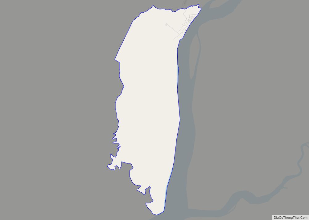
Perryville Road Map
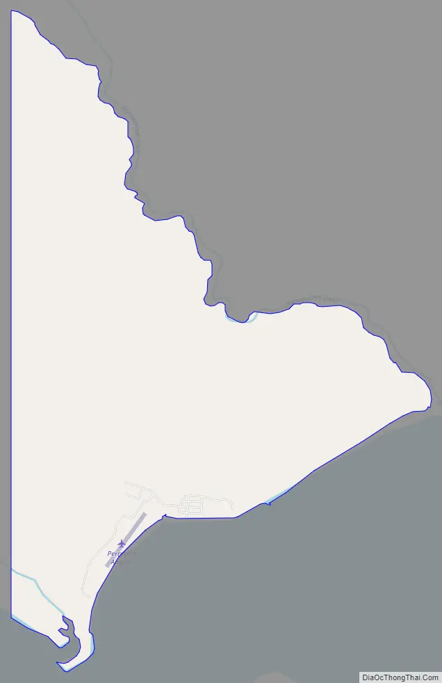
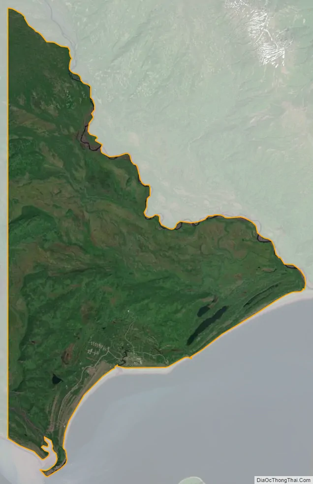
Perryville city Satellite Map
Geography
Perryville is located in southwestern Lake and Peninsula Borough at 55°54′49″N 159°09′04″W / 55.913632°N 159.151143°W / 55.913632; -159.151143. It sits on the south shore of the Alaska Peninsula at the mouth of the Kametolook River and faces the Chiachi Islands about 2 miles (3 km) out in the Pacific Ocean. It is served by Perryville Airport.
According to the United States Census Bureau, the Perryville CDP has a total area of 11.2 square miles (28.9 km), of which 0.02 square miles (0.05 km), or 0.18%, are water.
See also
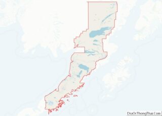
Map of Alaska State and its subdivision:- Aleutians East
- Aleutians West
- Anchorage
- Bethel
- Bristol Bay
- Denali
- Dillingham
- Fairbanks North Star
- Haines
- Juneau
- Kenai Peninsula
- Ketchikan Gateway
- Kodiak Island
- Lake and Peninsula
- Matanuska-Susitna
- Nome
- North Slope
- Northwest Arctic
- Prince of Wales-Outer Ketchi
- Sitka
- Skagway-Yakutat-Angoon
- Southeast Fairbanks
- Valdez-Cordova
- Wade Hampton
- Wrangell-Petersburg
- Yukon-Koyukuk
- Alabama
- Alaska
- Arizona
- Arkansas
- California
- Colorado
- Connecticut
- Delaware
- District of Columbia
- Florida
- Georgia
- Hawaii
- Idaho
- Illinois
- Indiana
- Iowa
- Kansas
- Kentucky
- Louisiana
- Maine
- Maryland
- Massachusetts
- Michigan
- Minnesota
- Mississippi
- Missouri
- Montana
- Nebraska
- Nevada
- New Hampshire
- New Jersey
- New Mexico
- New York
- North Carolina
- North Dakota
- Ohio
- Oklahoma
- Oregon
- Pennsylvania
- Rhode Island
- South Carolina
- South Dakota
- Tennessee
- Texas
- Utah
- Vermont
- Virginia
- Washington
- West Virginia
- Wisconsin
- Wyoming