Petersville is a census-designated place (CDP) in Matanuska-Susitna Borough, Alaska, United States. It is part of the Anchorage Metropolitan Area. The population was 27 at the 2020 census.
| Name: | Petersville CDP |
|---|---|
| LSAD Code: | 57 |
| LSAD Description: | CDP (suffix) |
| State: | Alaska |
| County: | Matanuska-Susitna Borough |
| Elevation: | 1,617 ft (493 m) |
| Total Area: | 462.50 sq mi (1,197.87 km²) |
| Land Area: | 461.83 sq mi (1,196.14 km²) |
| Water Area: | 0.67 sq mi (1.72 km²) |
| Total Population: | 27 |
| Population Density: | 0.06/sq mi (0.02/km²) |
| Area code: | 907 |
| FIPS code: | 0260460 |
| GNISfeature ID: | 1407927 |
Online Interactive Map
Click on ![]() to view map in "full screen" mode.
to view map in "full screen" mode.
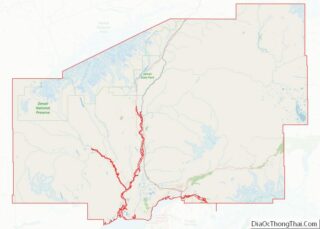
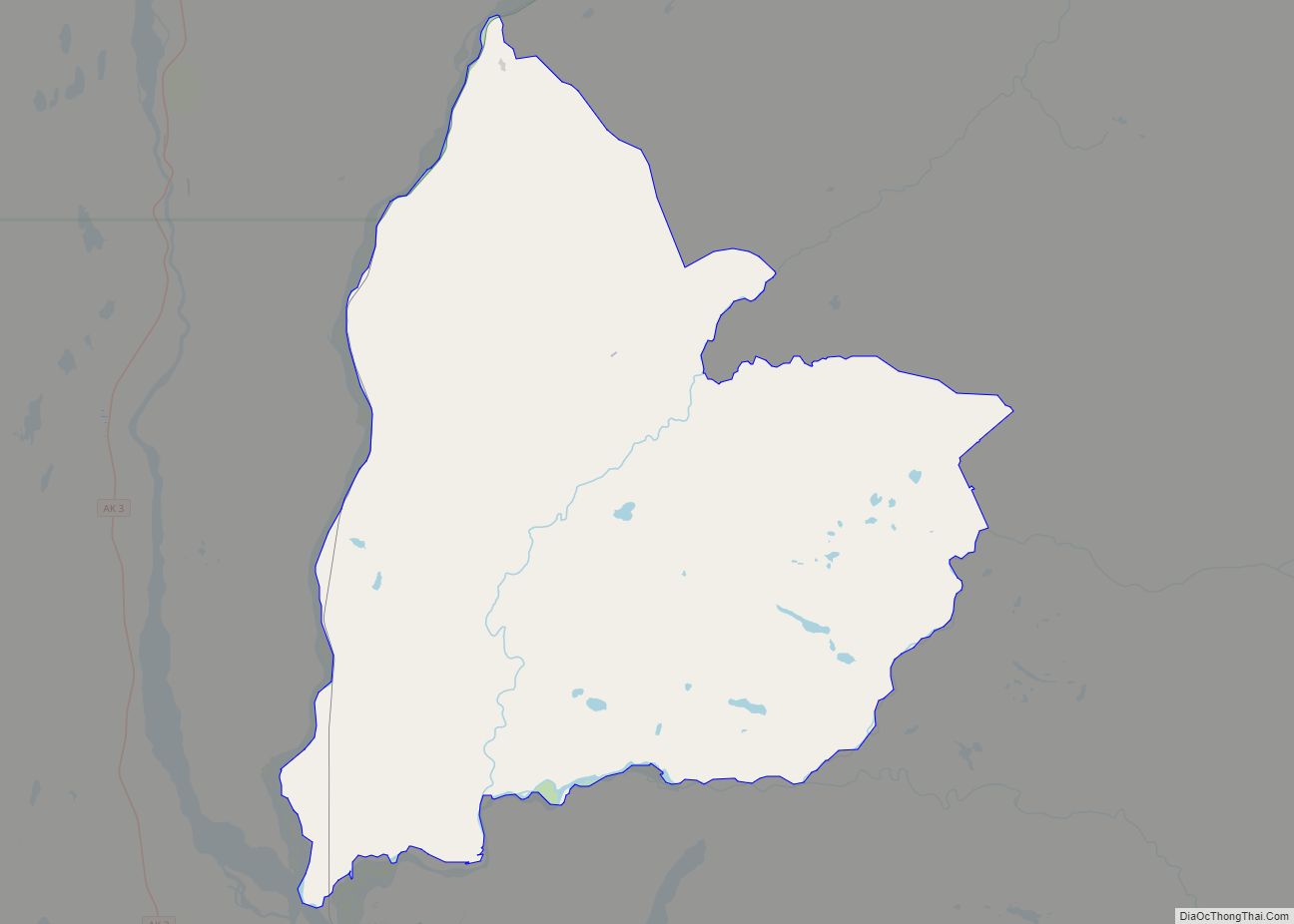
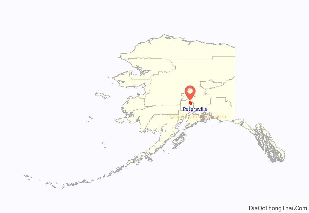
Petersville location map. Where is Petersville CDP?
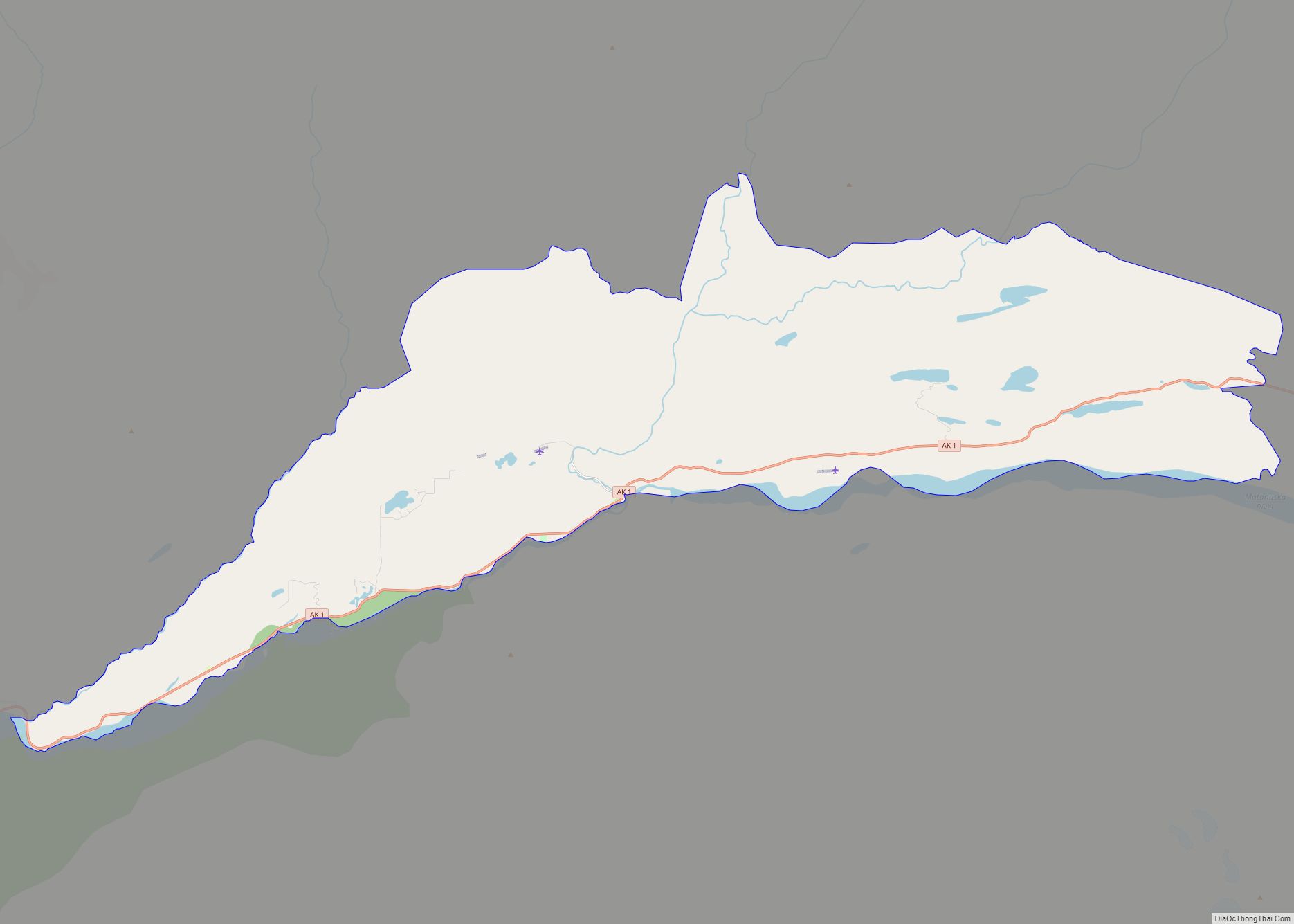
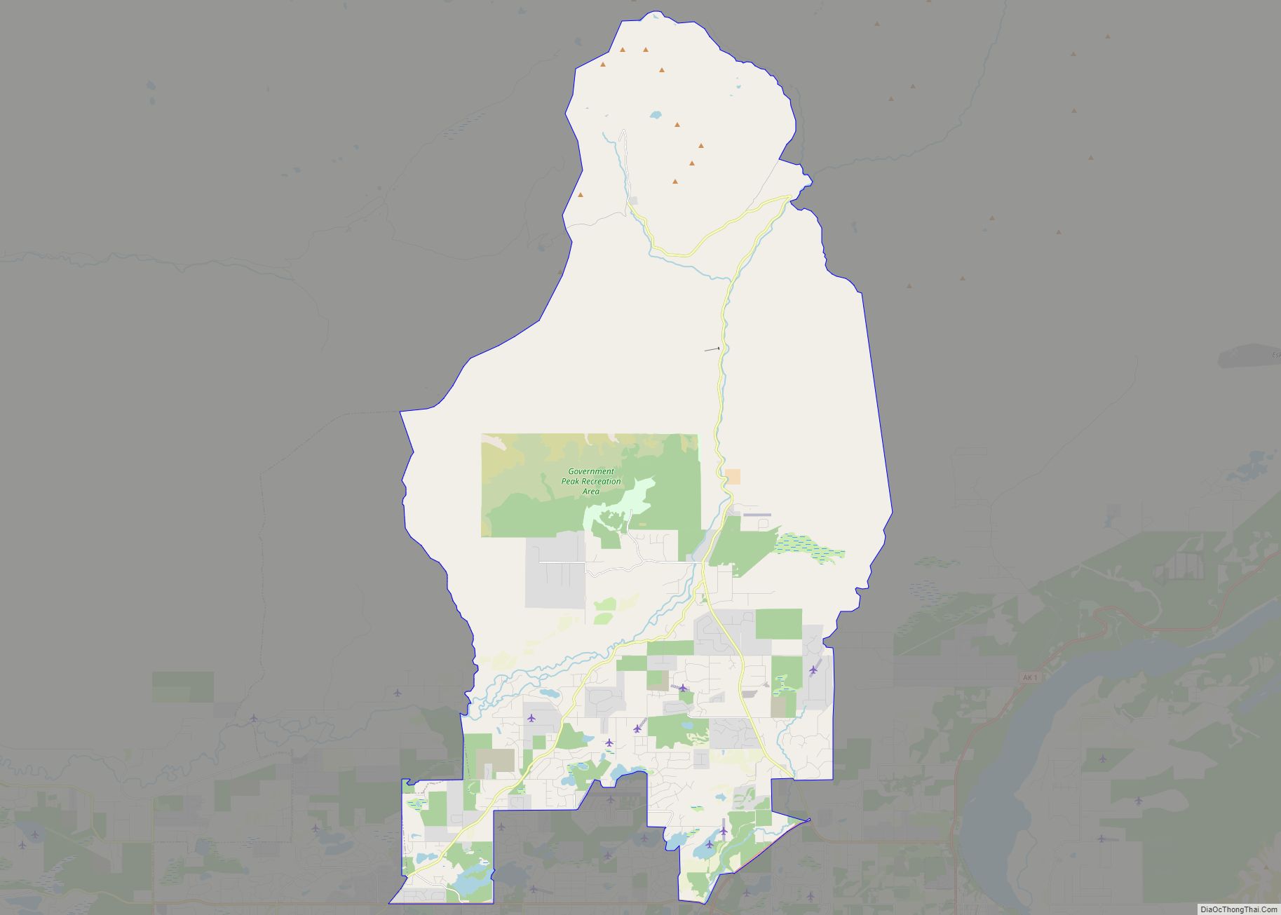
Petersville Road Map
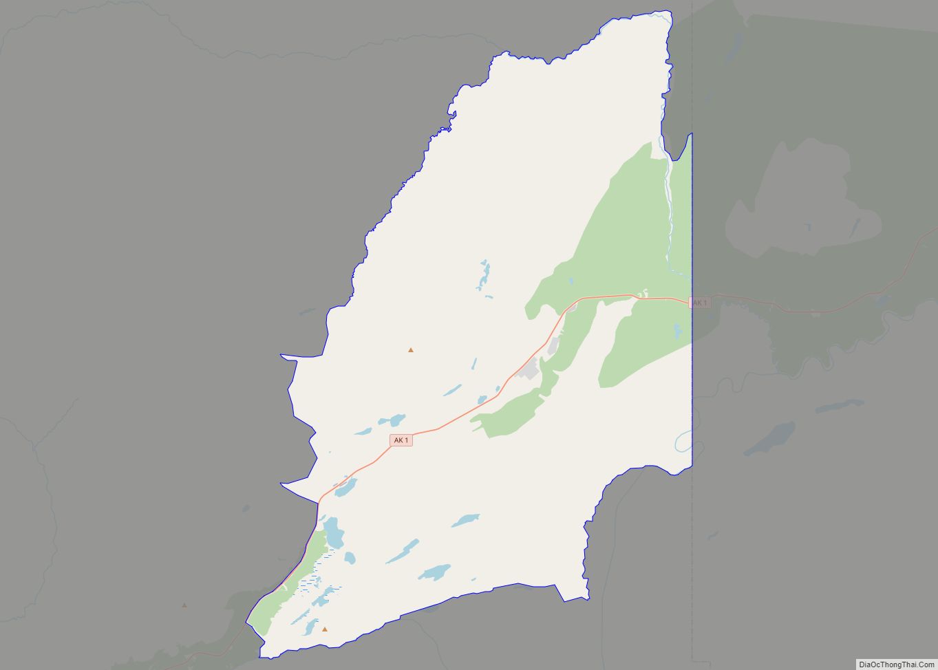
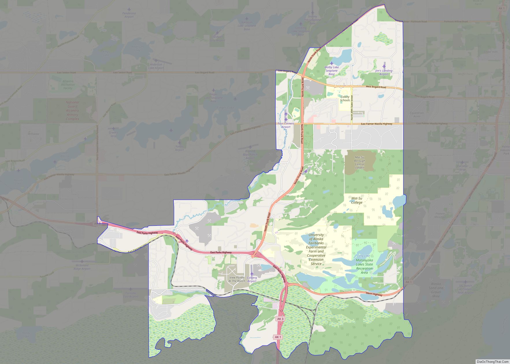
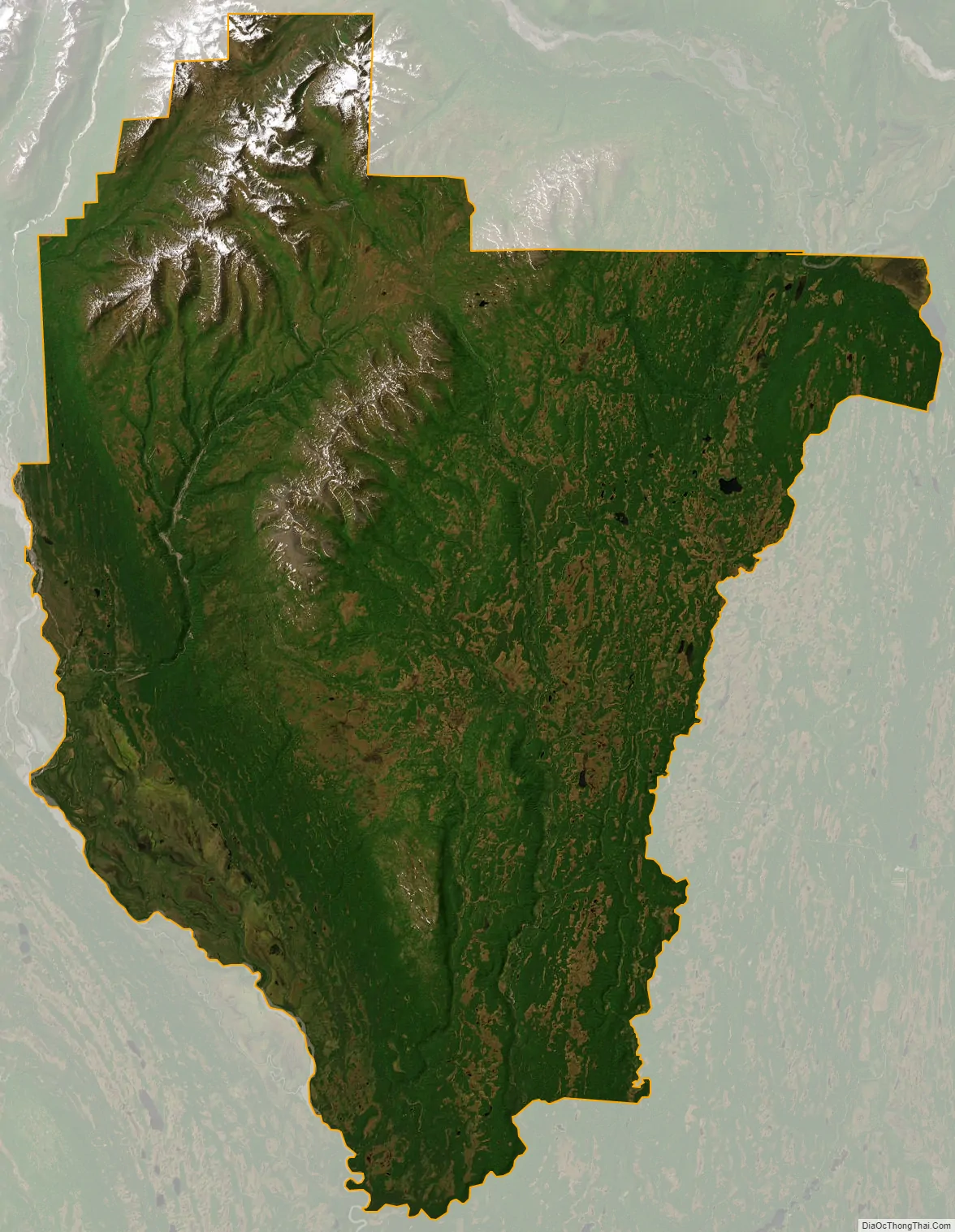
Petersville city Satellite Map
Geography
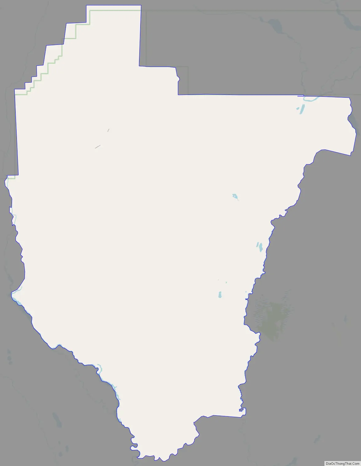
Petersville is located in the northwest part of Matanuska-Susitna Borough at 62°22′37″N 150°44′49″W / 62.37694°N 150.74694°W / 62.37694; -150.74694 (62.376890, -150.746952). It is bordered to the east by the Trapper Creek CDP. The small community of Petersville sits along Petersville Road on the east side of Peters Creek, 29 miles (47 km) northwest of Alaska Route 3 (the Parks Highway) at Trapper Creek, and 145 miles (233 km) north of Anchorage. The CDP is bordered to the north by Denali National Park.
According to the United States Census Bureau, the Petersville CDP has a total area of 462.5 square miles (1,198 km), of which 461.8 square miles (1,196 km) are land and 0.7 square miles (1.8 km), or 0.14%, are water. The CDP is bordered to the west by the Kahiltna River, fed by the Kahiltna Glacier on the south side of Denali.
Climate
Petersville is categorized as being within the 3a USDA hardiness zone, meaning temperatures can get as low as −40 to −35 °F (−40 to −37 °C).
See also
Map of Alaska State and its subdivision:- Aleutians East
- Aleutians West
- Anchorage
- Bethel
- Bristol Bay
- Denali
- Dillingham
- Fairbanks North Star
- Haines
- Juneau
- Kenai Peninsula
- Ketchikan Gateway
- Kodiak Island
- Lake and Peninsula
- Matanuska-Susitna
- Nome
- North Slope
- Northwest Arctic
- Prince of Wales-Outer Ketchi
- Sitka
- Skagway-Yakutat-Angoon
- Southeast Fairbanks
- Valdez-Cordova
- Wade Hampton
- Wrangell-Petersburg
- Yukon-Koyukuk
- Alabama
- Alaska
- Arizona
- Arkansas
- California
- Colorado
- Connecticut
- Delaware
- District of Columbia
- Florida
- Georgia
- Hawaii
- Idaho
- Illinois
- Indiana
- Iowa
- Kansas
- Kentucky
- Louisiana
- Maine
- Maryland
- Massachusetts
- Michigan
- Minnesota
- Mississippi
- Missouri
- Montana
- Nebraska
- Nevada
- New Hampshire
- New Jersey
- New Mexico
- New York
- North Carolina
- North Dakota
- Ohio
- Oklahoma
- Oregon
- Pennsylvania
- Rhode Island
- South Carolina
- South Dakota
- Tennessee
- Texas
- Utah
- Vermont
- Virginia
- Washington
- West Virginia
- Wisconsin
- Wyoming