Pope-Vannoy Landing is a census-designated place (CDP) in the Lake and Peninsula Borough in the U.S. state of Alaska. The population was six at the 2020 census, same amount as in 2010.
| Name: | Pope-Vannoy Landing CDP |
|---|---|
| LSAD Code: | 57 |
| LSAD Description: | CDP (suffix) |
| State: | Alaska |
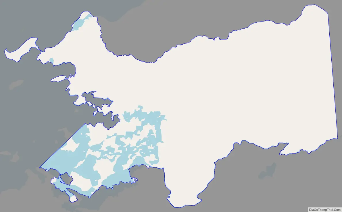
| County: | Lake and Peninsula Borough |
| Total Area: | 63.95 sq mi (165.63 km²) |
| Land Area: | 55.63 sq mi (144.09 km²) |
| Water Area: | 8.32 sq mi (21.55 km²) |
| Total Population: | 6 |
| Population Density: | 0.11/sq mi (0.04/km²) |
| Area code: | 907 |
| FIPS code: | 0262125 |
Online Interactive Map
Click on ![]() to view map in "full screen" mode.
to view map in "full screen" mode.
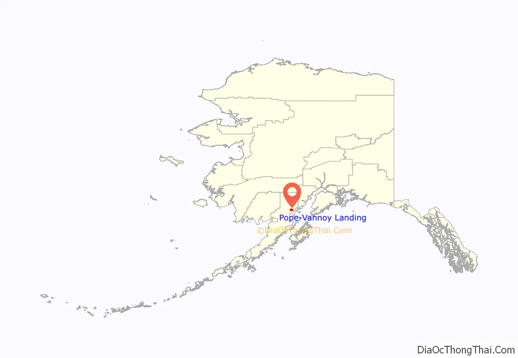
Pope-Vannoy Landing location map. Where is Pope-Vannoy Landing CDP?
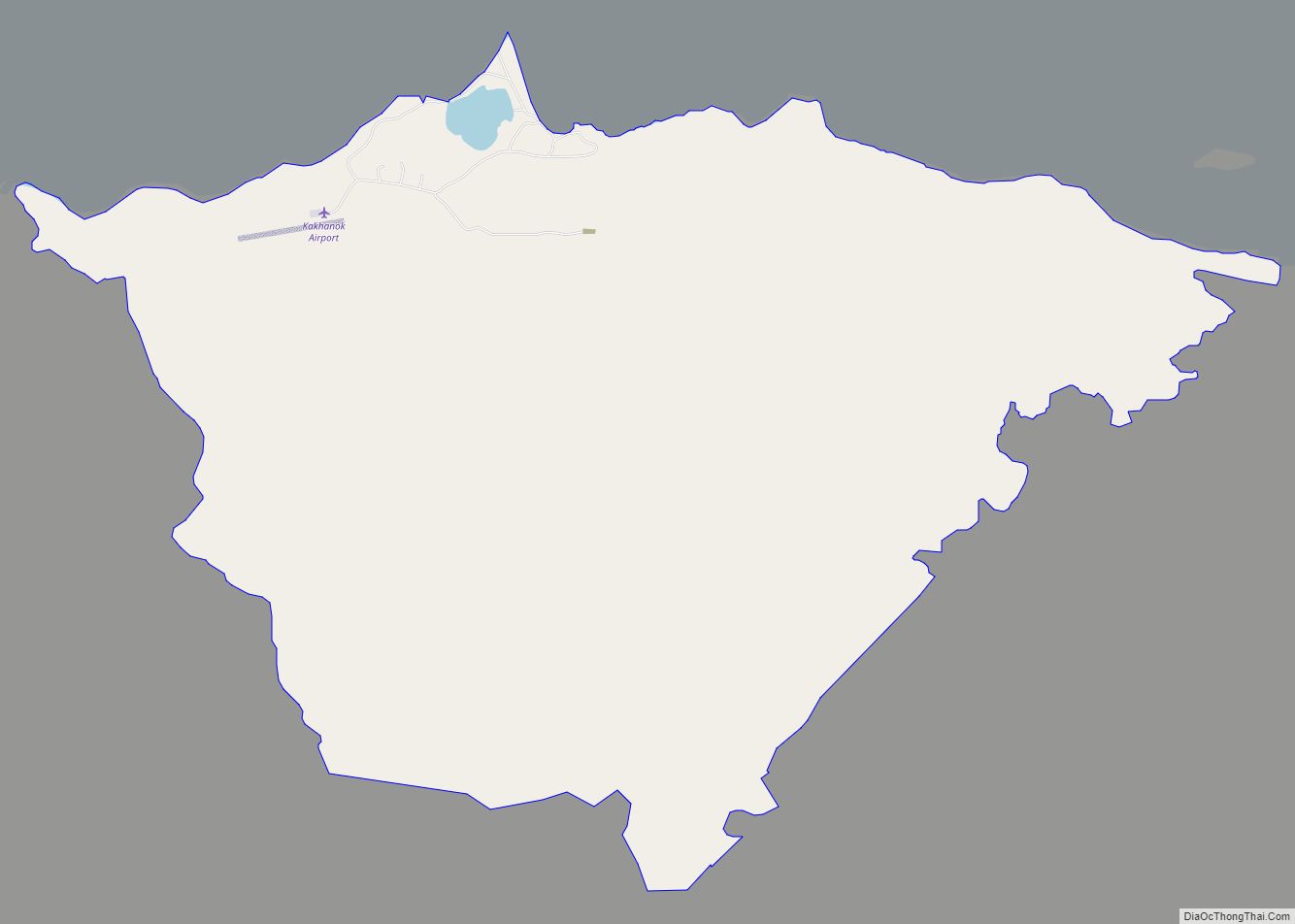
Pope-Vannoy Landing Road Map
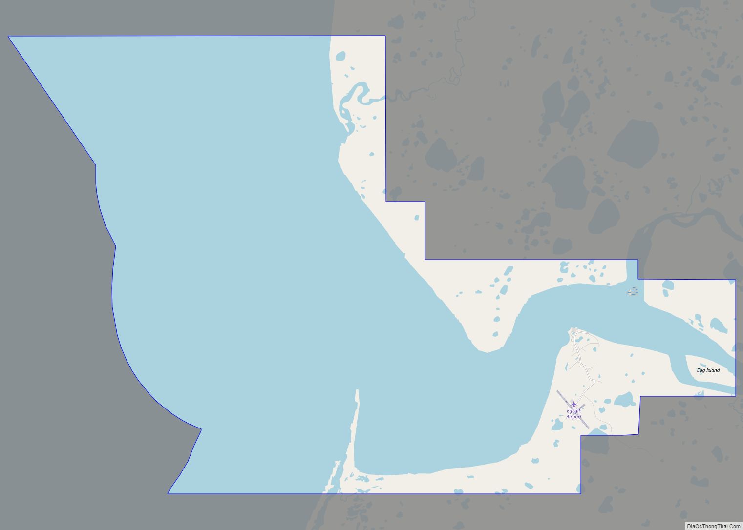
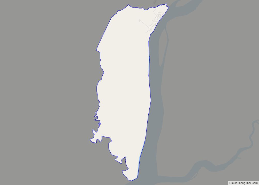
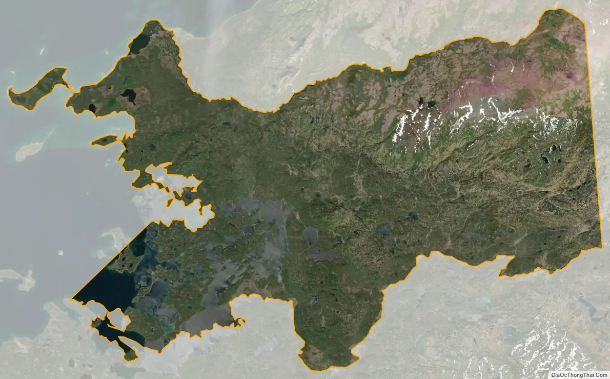
Pope-Vannoy Landing city Satellite Map
Geography
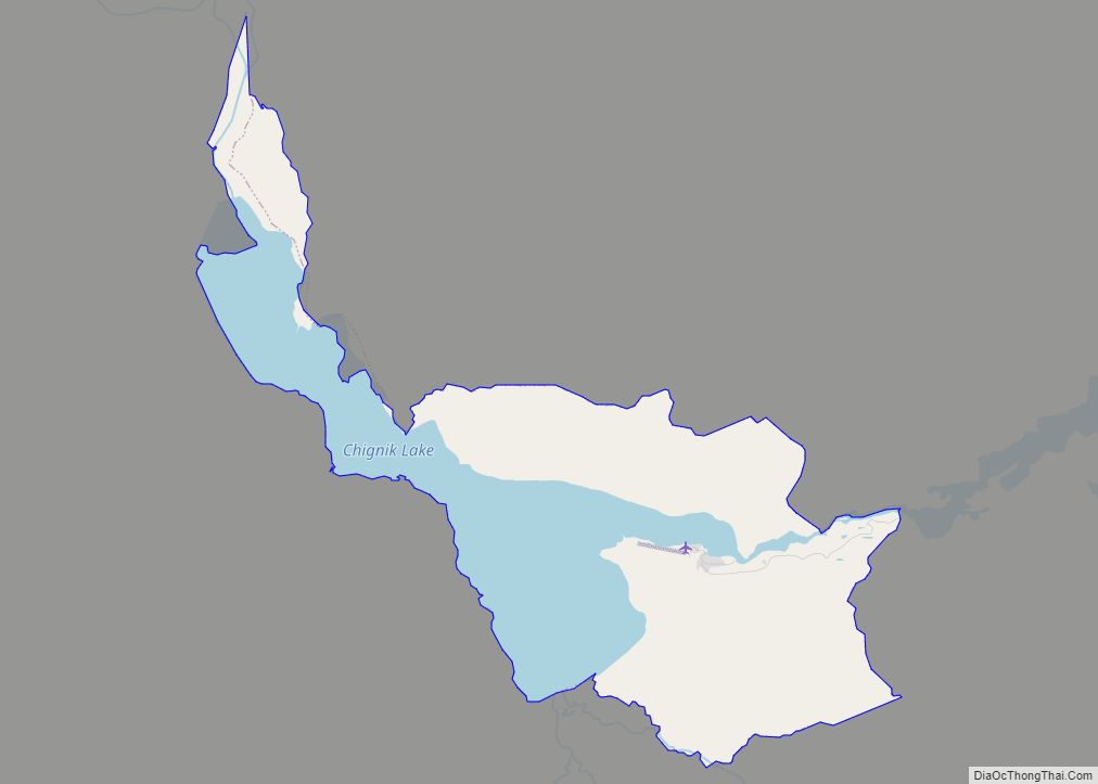
Pope-Vannoy Landing is located at 59°32′15″N 154°31′50″W / 59.53750°N 154.53056°W / 59.53750; -154.53056 (59.537594, -154.530521), on the south side of Iliamna Lake. The CDP includes the lake inlets of Copper River Bay and Intricate Bay and extends east 7 miles (11 km) up the Copper River valley.
According to the United States Census Bureau, the CDP has a total area of 63.9 square miles (165.6 km), of which 55.6 square miles (144.1 km) are land and 8.3 square miles (21.5 km), or 13.01%, are water.
See also
Map of Alaska State and its subdivision:- Aleutians East
- Aleutians West
- Anchorage
- Bethel
- Bristol Bay
- Denali
- Dillingham
- Fairbanks North Star
- Haines
- Juneau
- Kenai Peninsula
- Ketchikan Gateway
- Kodiak Island
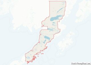
- Lake and Peninsula
- Matanuska-Susitna
- Nome
- North Slope
- Northwest Arctic
- Prince of Wales-Outer Ketchi
- Sitka
- Skagway-Yakutat-Angoon
- Southeast Fairbanks
- Valdez-Cordova
- Wade Hampton
- Wrangell-Petersburg
- Yukon-Koyukuk
- Alabama
- Alaska
- Arizona
- Arkansas
- California
- Colorado
- Connecticut
- Delaware
- District of Columbia
- Florida
- Georgia
- Hawaii
- Idaho
- Illinois
- Indiana
- Iowa
- Kansas
- Kentucky
- Louisiana
- Maine
- Maryland
- Massachusetts
- Michigan
- Minnesota
- Mississippi
- Missouri
- Montana
- Nebraska
- Nevada
- New Hampshire
- New Jersey
- New Mexico
- New York
- North Carolina
- North Dakota
- Ohio
- Oklahoma
- Oregon
- Pennsylvania
- Rhode Island
- South Carolina
- South Dakota
- Tennessee
- Texas
- Utah
- Vermont
- Virginia
- Washington
- West Virginia
- Wisconsin
- Wyoming