Port Alexander (Lingít: Shee Yat’aḵ.aan) is a city at the southeastern corner of Baranof Island in Prince of Wales-Hyder Census Area, Alaska, United States. At the 2010 census the population was 52, down from 81 in 2000.
| Name: | Port Alexander city |
|---|---|
| LSAD Code: | 25 |
| LSAD Description: | city (suffix) |
| State: | Alaska |
| County: | Petersburg Borough |
| Incorporated: | July 9, 1974 |
| Elevation: | 43 ft (13 m) |
| Total Area: | 15.01 sq mi (38.89 km²) |
| Land Area: | 3.50 sq mi (9.07 km²) |
| Water Area: | 11.51 sq mi (29.82 km²) |
| Total Population: | 78 |
| Population Density: | 22.29/sq mi (8.60/km²) |
| ZIP code: | 99836 |
| Area code: | 907 |
| FIPS code: | 0262510 |
| GNISfeature ID: | 1424551 |
Online Interactive Map
Click on ![]() to view map in "full screen" mode.
to view map in "full screen" mode.
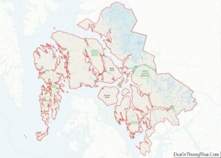
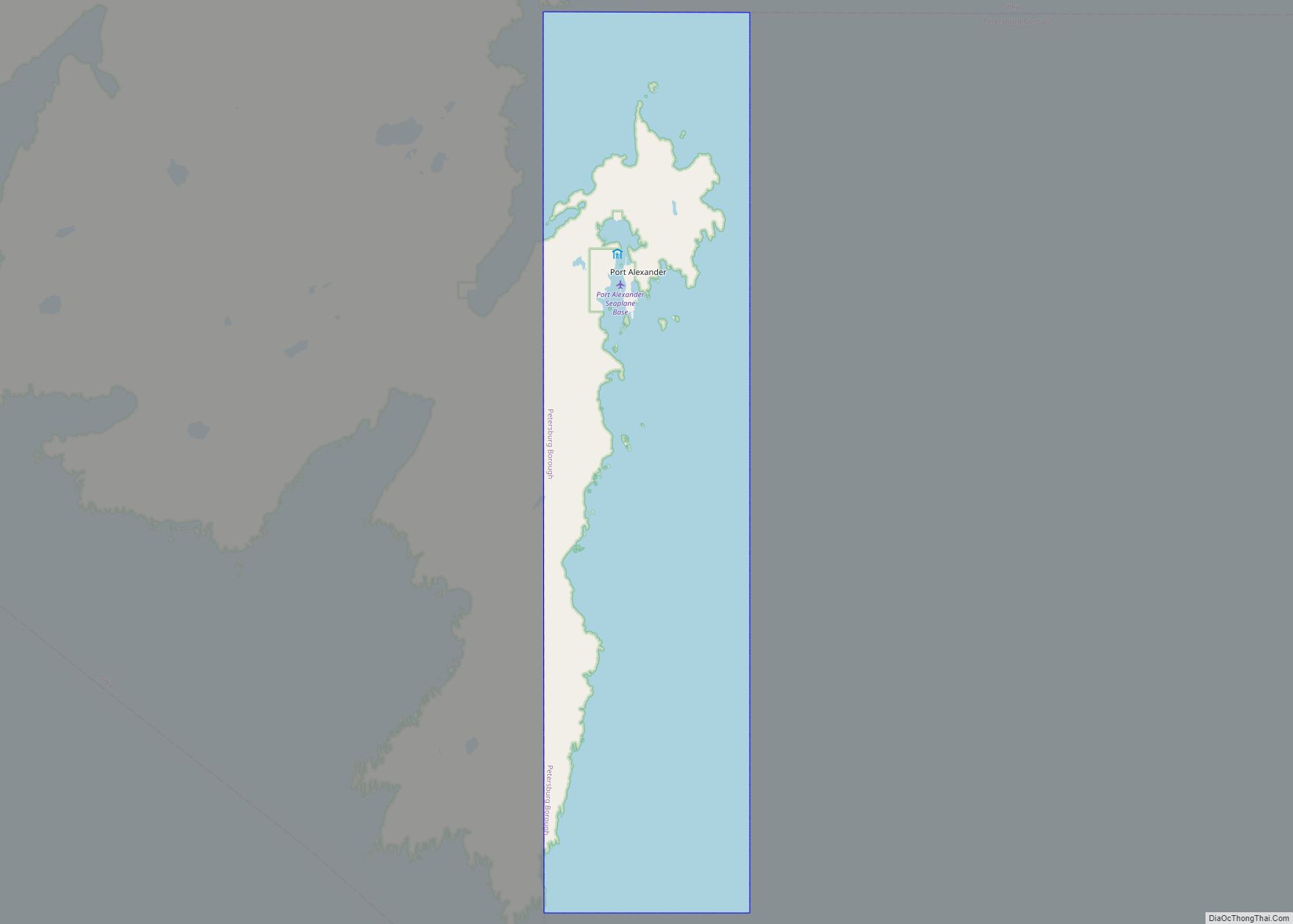
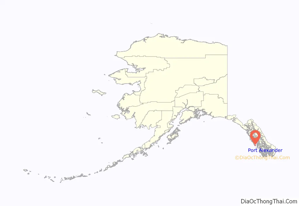
Port Alexander location map. Where is Port Alexander city?
History
Port Alexander once was a bustling city with as many as 2,500 people in the early 20th century, Prior to the 1920s, Port Alexander was the salmon fishing capital of the world.
Port Alexander originally incorporated in 1936. It became a part of the Greater Sitka Borough in 1963, following the state legislature’s passage of the Mandatory Borough Act. The original municipality was dissolved when it unified with Sitka’s city and borough governments in 1971, which formed the present-day entity known as the City and Borough of Sitka. However, residents were independent and desired to govern themselves so they successfully sought to detach themselves from the new municipality. Port Alexander reincorporated as a second class city in 1974.
The Port Alexander Historical Society successfully completed the project of creating a small museum celebrating the town’s history in the 2000s.
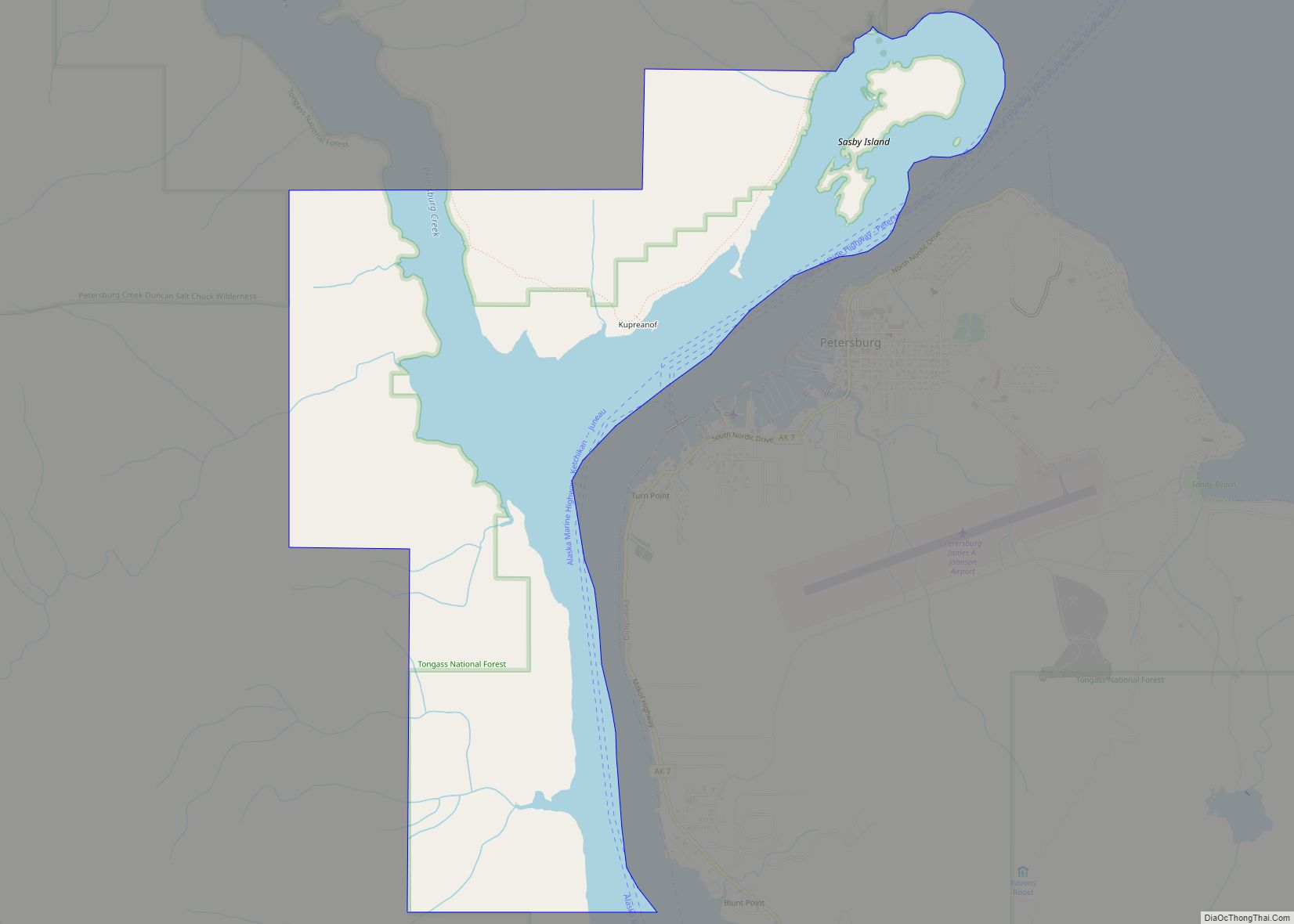
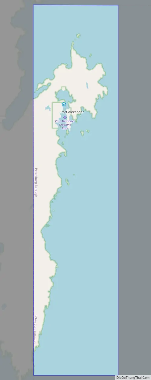
Port Alexander Road Map
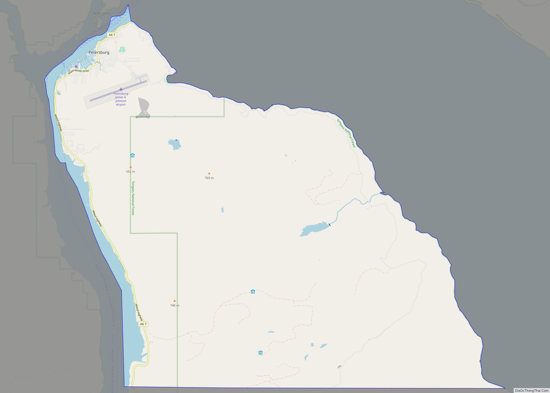
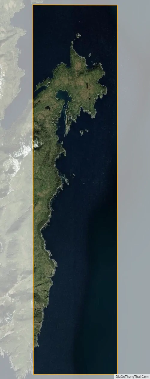
Port Alexander city Satellite Map
Geography
Port Alexander is located at 56°14′24″N 134°39′26″W / 56.24000°N 134.65722°W / 56.24000; -134.65722 (56.239871, -134.657177).
Port Alexander is the only city on a small sliver of land at the southeastern corner of Baranof Island that is not part of the City and Borough of Sitka. It comprises less than one-quarter of one percent of Baranof Island’s land area.
According to the United States Census Bureau, the city has a total area of 15.1 square miles (39 km), of which, 3.8 square miles (9.8 km) of it is land and 11.3 square miles (29 km) of it (74.88%) is water.
The city is served by the Baranautica Air Service with seasonal Essential Air Service flights and the EYAK brings supplies and mail weekly. Port Alexander Seaplane Base.
See also
Map of Alaska State and its subdivision:- Aleutians East
- Aleutians West
- Anchorage
- Bethel
- Bristol Bay
- Denali
- Dillingham
- Fairbanks North Star
- Haines
- Juneau
- Kenai Peninsula
- Ketchikan Gateway
- Kodiak Island
- Lake and Peninsula
- Matanuska-Susitna
- Nome
- North Slope
- Northwest Arctic
- Prince of Wales-Outer Ketchi
- Sitka
- Skagway-Yakutat-Angoon
- Southeast Fairbanks
- Valdez-Cordova
- Wade Hampton
- Wrangell-Petersburg
- Yukon-Koyukuk
- Alabama
- Alaska
- Arizona
- Arkansas
- California
- Colorado
- Connecticut
- Delaware
- District of Columbia
- Florida
- Georgia
- Hawaii
- Idaho
- Illinois
- Indiana
- Iowa
- Kansas
- Kentucky
- Louisiana
- Maine
- Maryland
- Massachusetts
- Michigan
- Minnesota
- Mississippi
- Missouri
- Montana
- Nebraska
- Nevada
- New Hampshire
- New Jersey
- New Mexico
- New York
- North Carolina
- North Dakota
- Ohio
- Oklahoma
- Oregon
- Pennsylvania
- Rhode Island
- South Carolina
- South Dakota
- Tennessee
- Texas
- Utah
- Vermont
- Virginia
- Washington
- West Virginia
- Wisconsin
- Wyoming