Salcha (Tanana: Soł Chaget, Tanacross: Saagescheeg) is a census-designated place (CDP) in Fairbanks North Star Borough in the U.S. state of Alaska. It is part of the Fairbanks, Alaska Metropolitan Statistical Area. The population was 1,095 at the 2010 census, up from 854 in 2000.
| Name: | Salcha CDP |
|---|---|
| LSAD Code: | 57 |
| LSAD Description: | CDP (suffix) |
| State: | Alaska |
| County: | Fairbanks North Star Borough |
| Elevation: | 650 ft (200 m) |
| Total Area: | 77.06 sq mi (199.58 km²) |
| Land Area: | 75.28 sq mi (194.98 km²) |
| Water Area: | 1.78 sq mi (4.60 km²) |
| Total Population: | 977 |
| Population Density: | 12.98/sq mi (5.01/km²) |
| ZIP code: | 99714 |
| Area code: | 907 |
| FIPS code: | 0266550 |
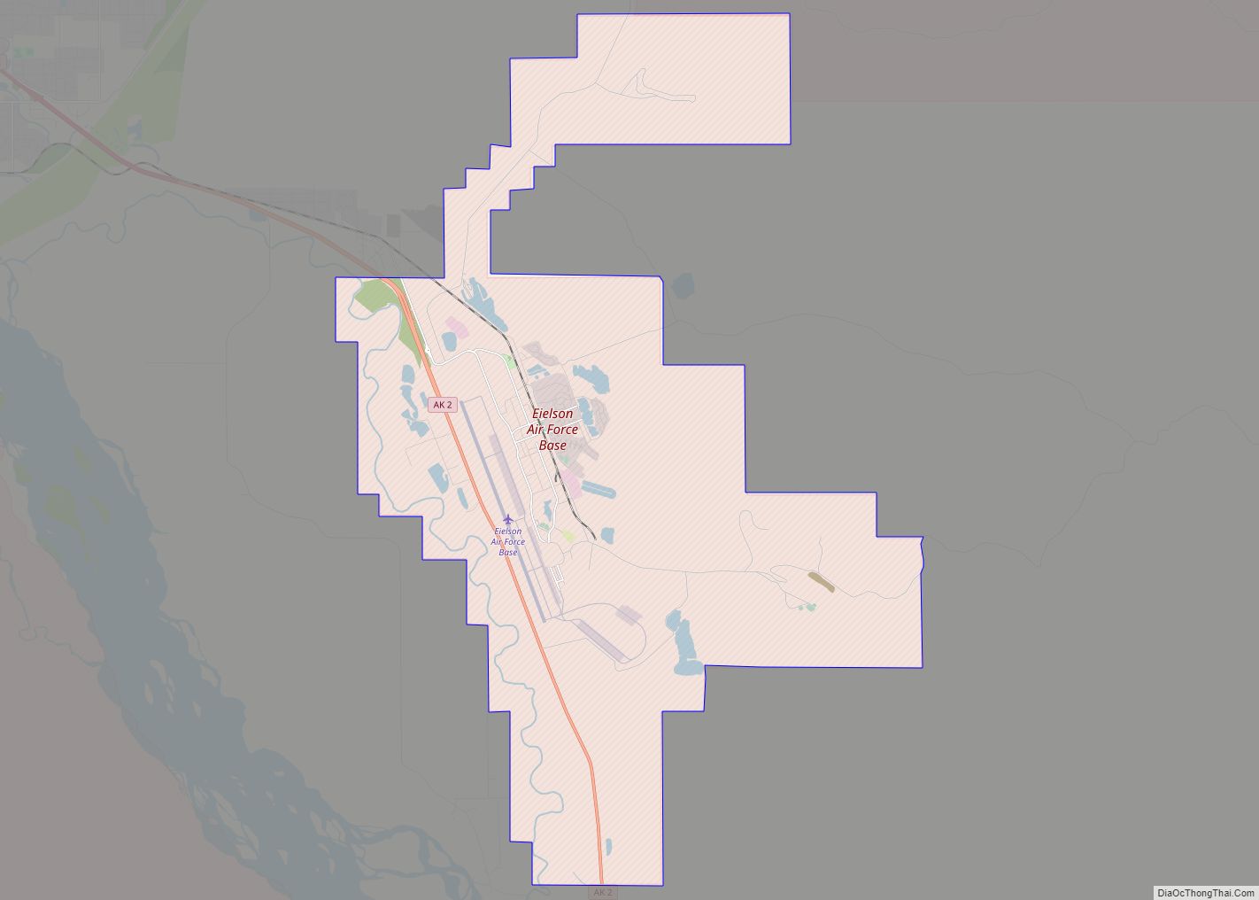
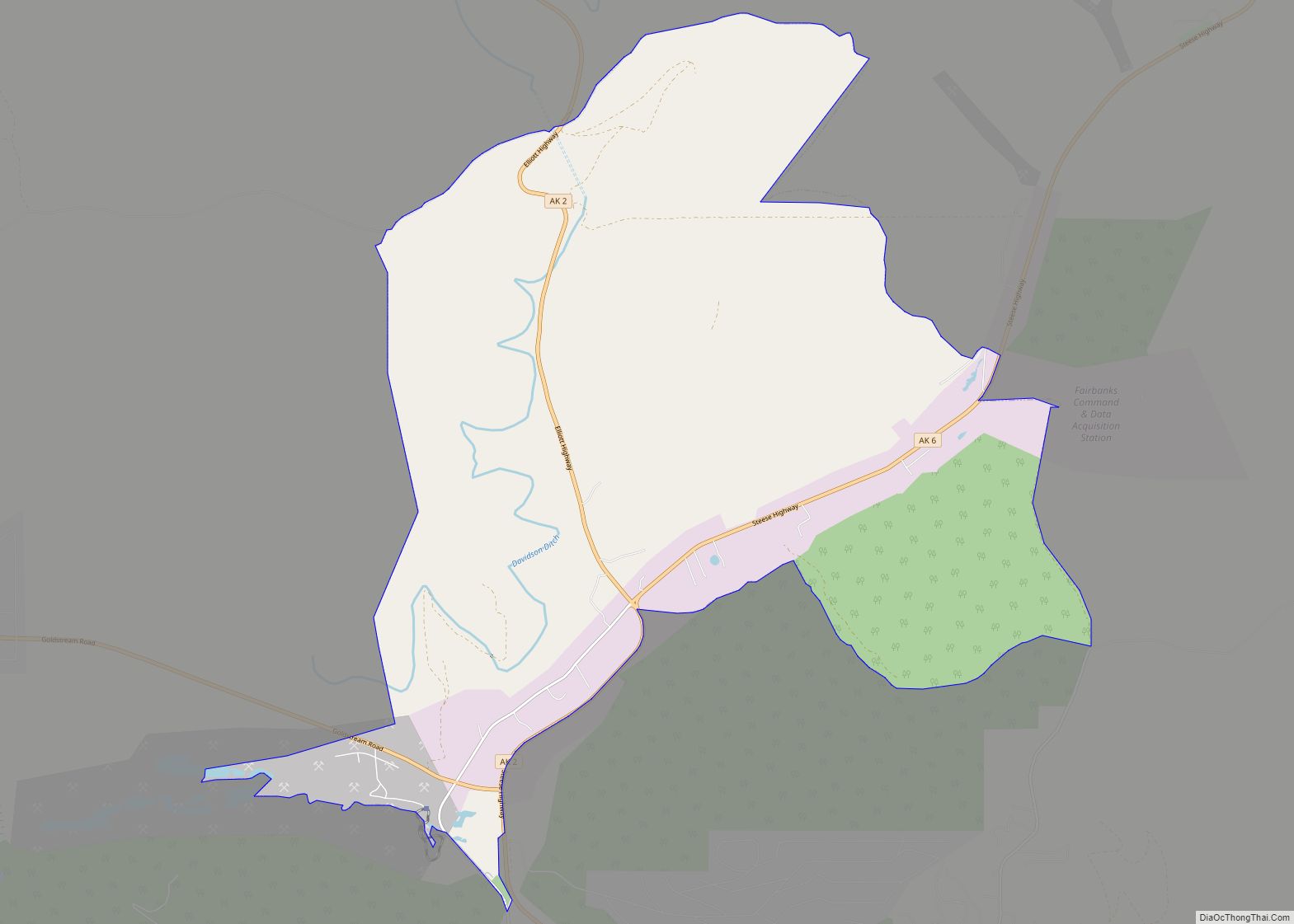
Online Interactive Map
Click on ![]() to view map in "full screen" mode.
to view map in "full screen" mode.
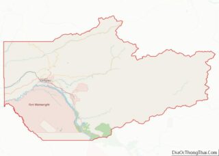
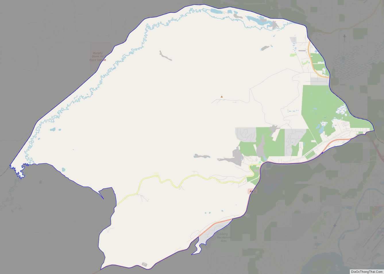
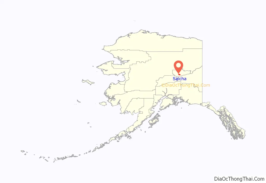
Salcha location map. Where is Salcha CDP?
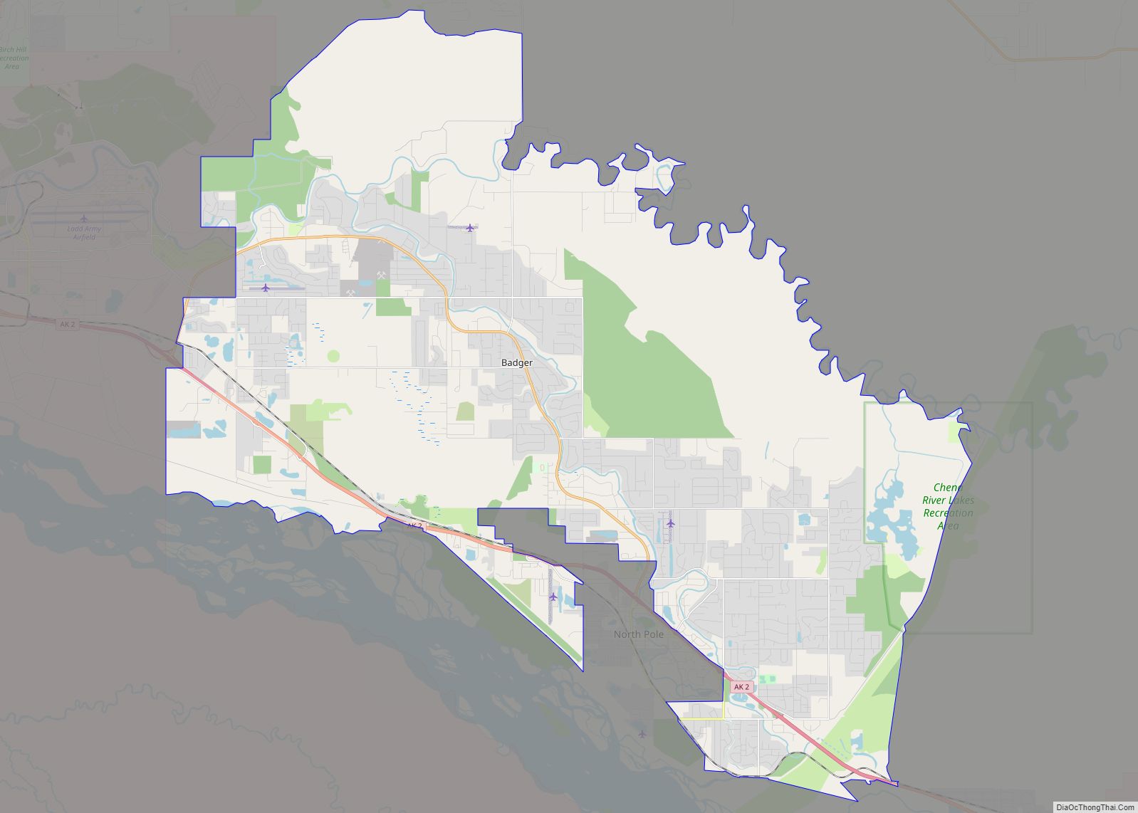
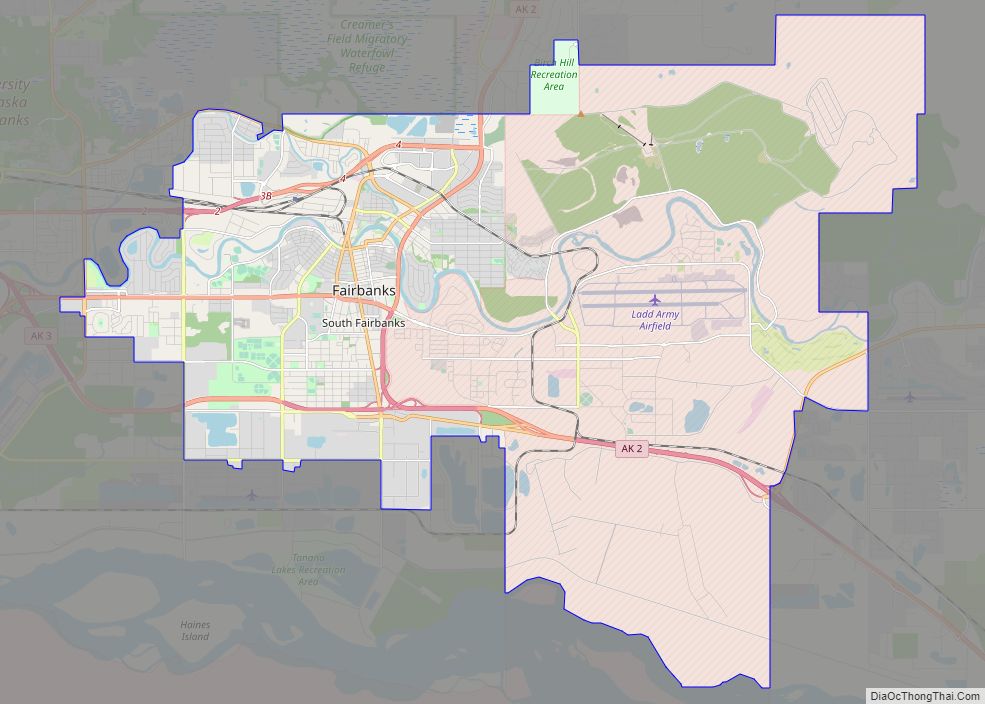
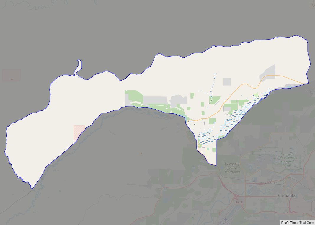
Salcha Road Map
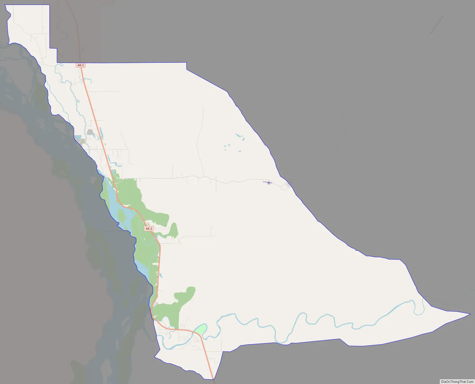
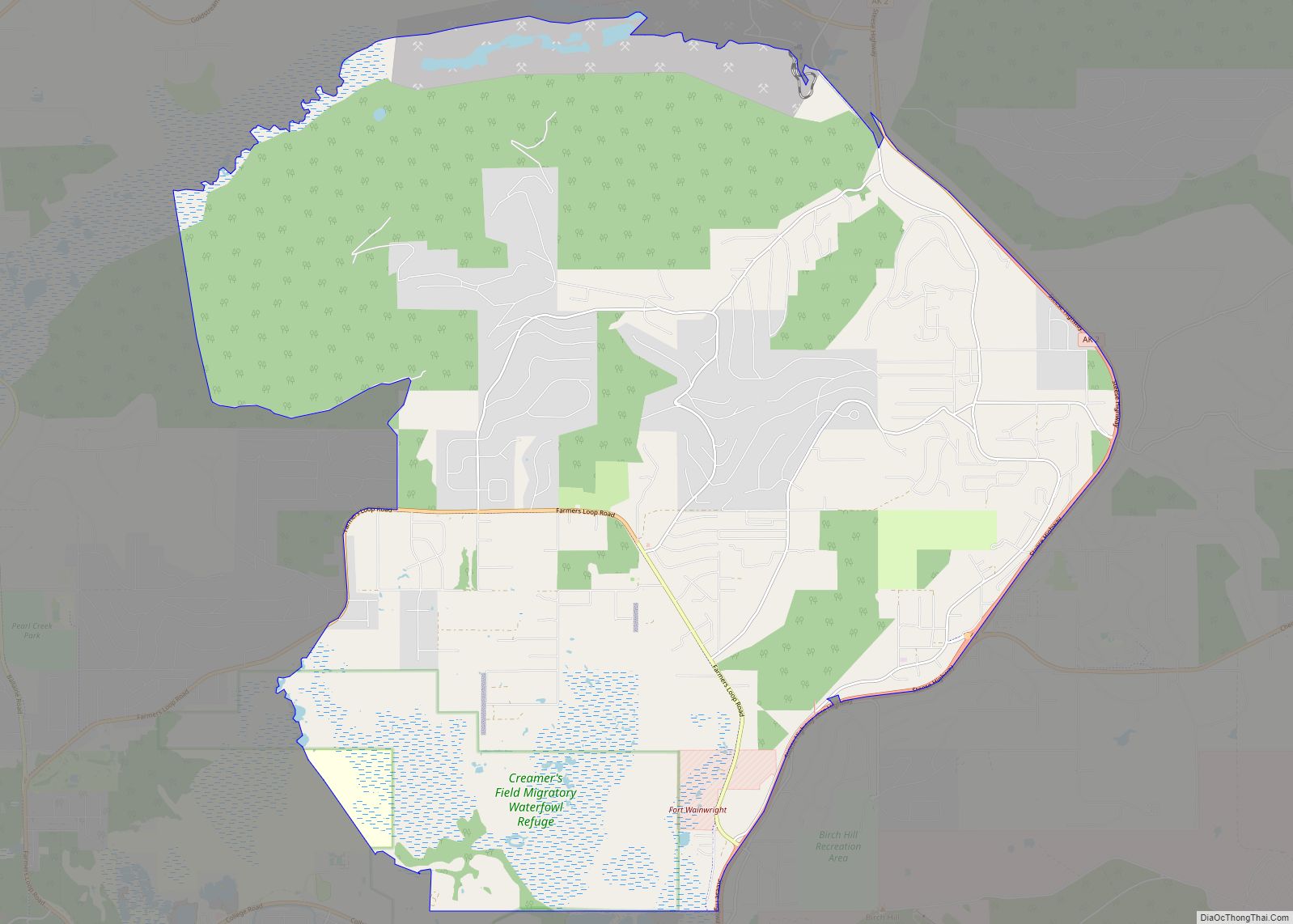
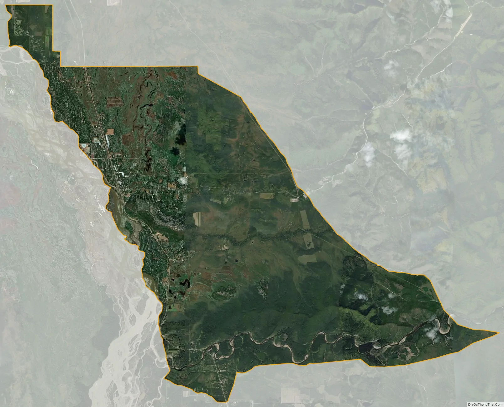
Salcha city Satellite Map
Geography
Salcha is located at 64°31′14″N 147°0′41″W / 64.52056°N 147.01139°W / 64.52056; -147.01139 (64.520455, -147.011452). The village was first reported in 1898 by the U.S. Geological Survey as “Salchaket”, deriving from the Tanana name Soł Chaget meaning “the mouth of Salcha”. It is about 40 miles (64 km) south of Fairbanks on the Richardson Highway. It is next to the Salcha River, a popular fishing destination. It is also next to the Tanana River. Salcha has its own post office. The ZIP code for Salcha is 99714.
According to the United States Census Bureau, the CDP has a total area of 75.9 square miles (196.7 km), of which 74.0 square miles (191.6 km) is land and 2.0 square miles (5.1 km), or 2.59%, is water.
See also
Map of Alaska State and its subdivision:- Aleutians East
- Aleutians West
- Anchorage
- Bethel
- Bristol Bay
- Denali
- Dillingham
- Fairbanks North Star
- Haines
- Juneau
- Kenai Peninsula
- Ketchikan Gateway
- Kodiak Island
- Lake and Peninsula
- Matanuska-Susitna
- Nome
- North Slope
- Northwest Arctic
- Prince of Wales-Outer Ketchi
- Sitka
- Skagway-Yakutat-Angoon
- Southeast Fairbanks
- Valdez-Cordova
- Wade Hampton
- Wrangell-Petersburg
- Yukon-Koyukuk
- Alabama
- Alaska
- Arizona
- Arkansas
- California
- Colorado
- Connecticut
- Delaware
- District of Columbia
- Florida
- Georgia
- Hawaii
- Idaho
- Illinois
- Indiana
- Iowa
- Kansas
- Kentucky
- Louisiana
- Maine
- Maryland
- Massachusetts
- Michigan
- Minnesota
- Mississippi
- Missouri
- Montana
- Nebraska
- Nevada
- New Hampshire
- New Jersey
- New Mexico
- New York
- North Carolina
- North Dakota
- Ohio
- Oklahoma
- Oregon
- Pennsylvania
- Rhode Island
- South Carolina
- South Dakota
- Tennessee
- Texas
- Utah
- Vermont
- Virginia
- Washington
- West Virginia
- Wisconsin
- Wyoming