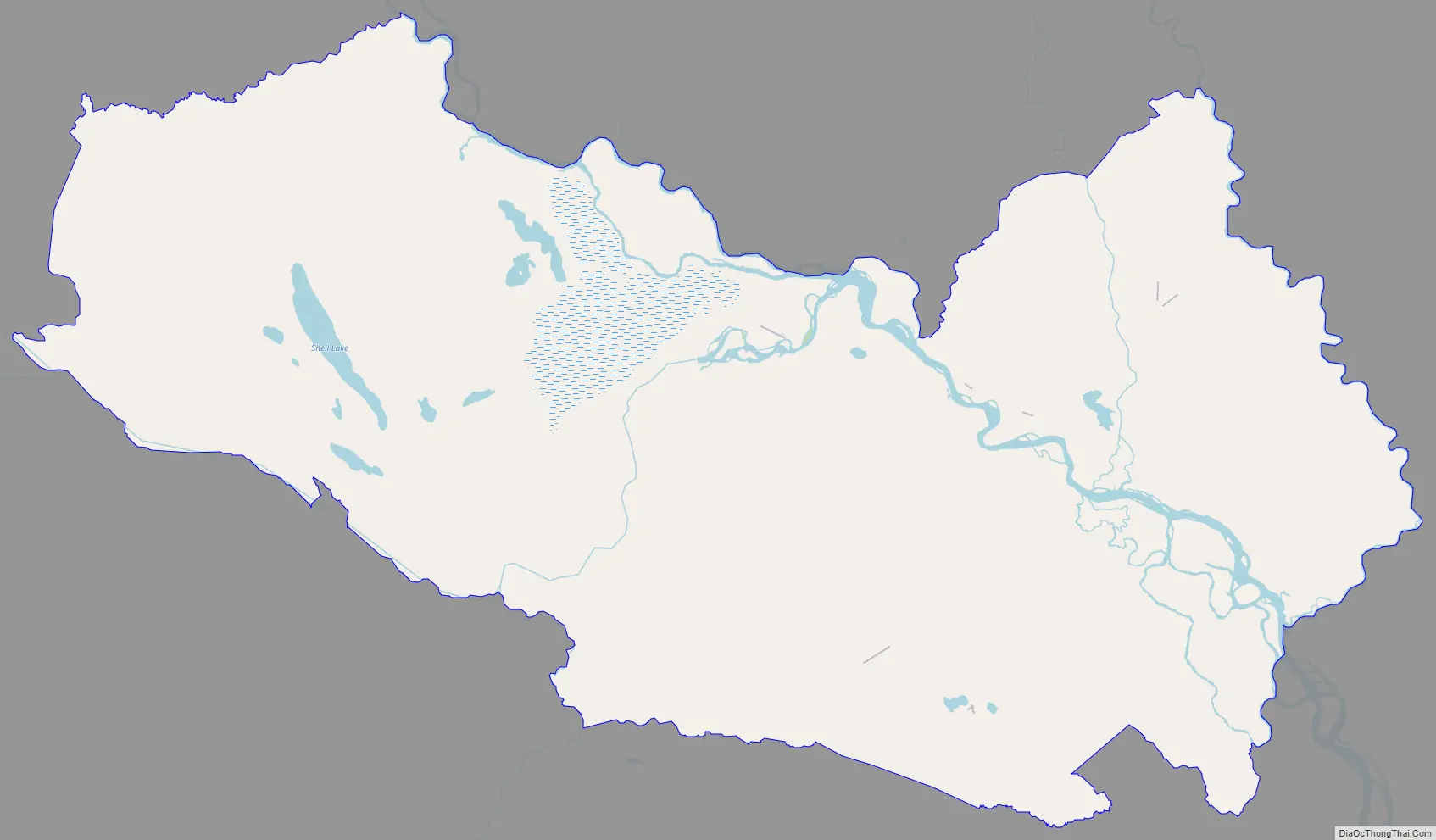
Skwentna is a census-designated place (CDP) on Iditarod Trail in Matanuska-Susitna Borough, Alaska, United States. Located 61 miles northwest of Wasilla along the Skwentna River, it is part of the Anchorage, Alaska Metropolitan Statistical Area. At the 2020 census the population was 62, up from 37 in 2010.
| Name: | Skwentna CDP |
|---|---|
| LSAD Code: | 57 |
| LSAD Description: | CDP (suffix) |
| State: | Alaska |
| County: | Matanuska-Susitna Borough |
| Elevation: | 144 ft (44 m) |
| Total Area: | 445.86 sq mi (1,154.77 km²) |
| Land Area: | 438.61 sq mi (1,136.00 km²) |
| Water Area: | 7.25 sq mi (18.77 km²) |
| Total Population: | 62 |
| Population Density: | 0.14/sq mi (0.05/km²) |
| ZIP code: | 99667 |
| Area code: | 907 |
| FIPS code: | 0270870 |
| GNISfeature ID: | 1866975 |
Online Interactive Map
Click on ![]() to view map in "full screen" mode.
to view map in "full screen" mode.
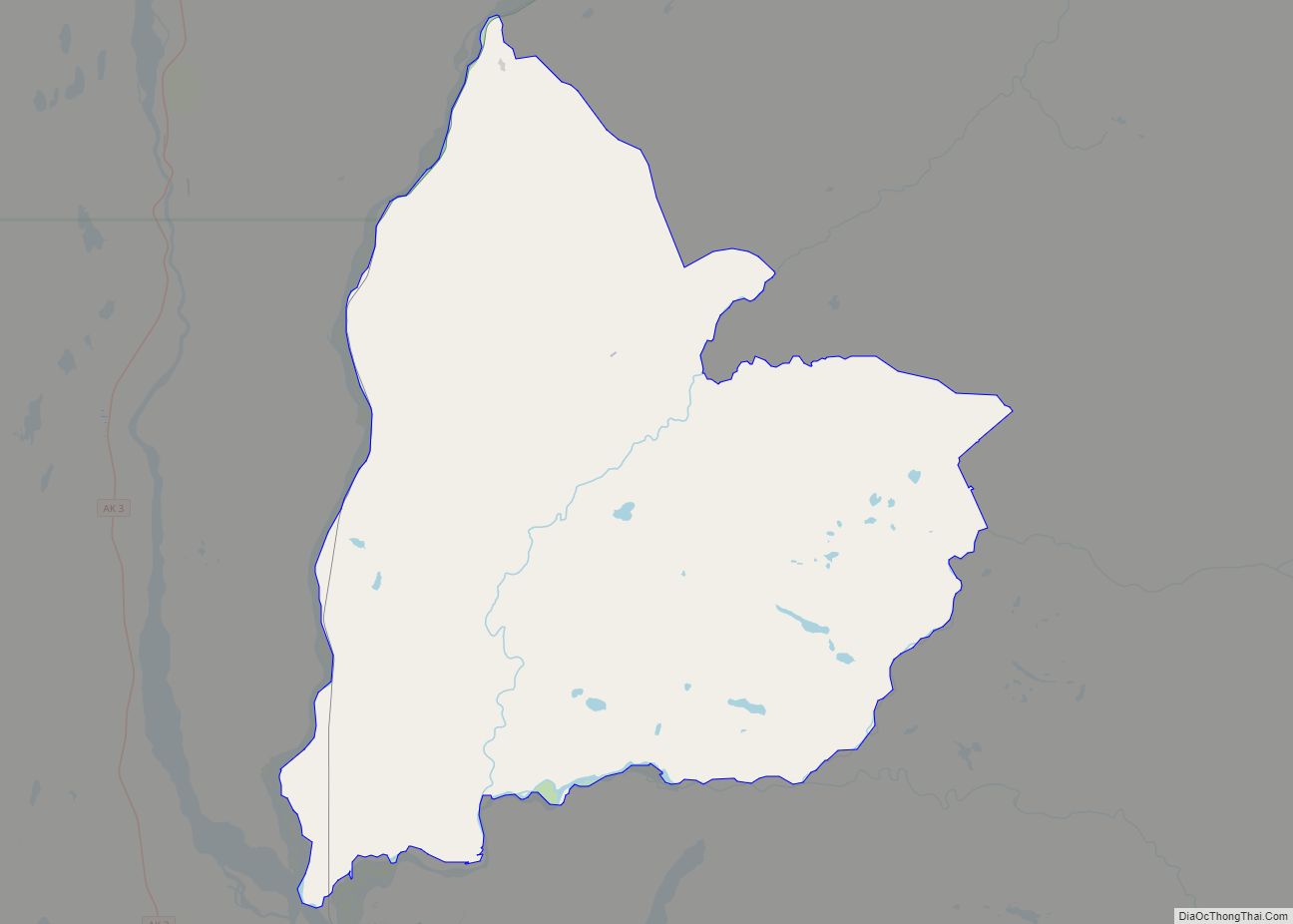
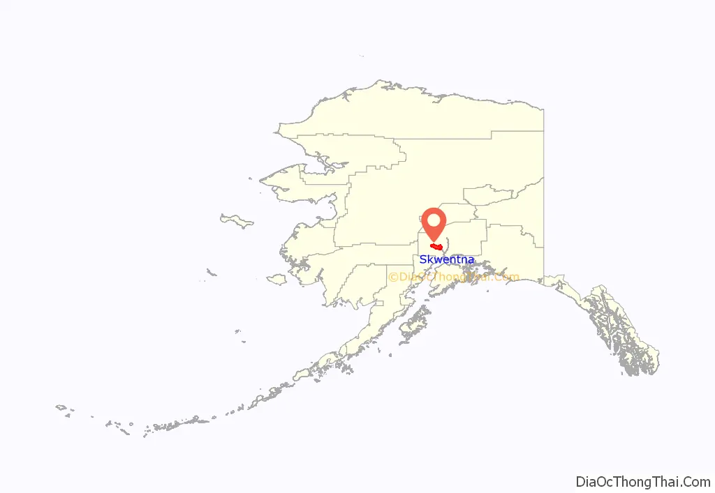
Skwentna location map. Where is Skwentna CDP?
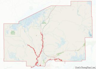
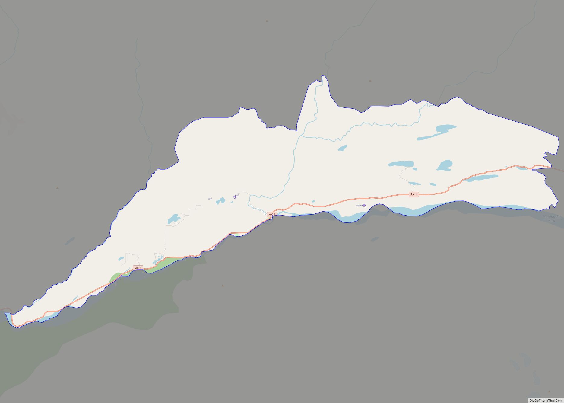
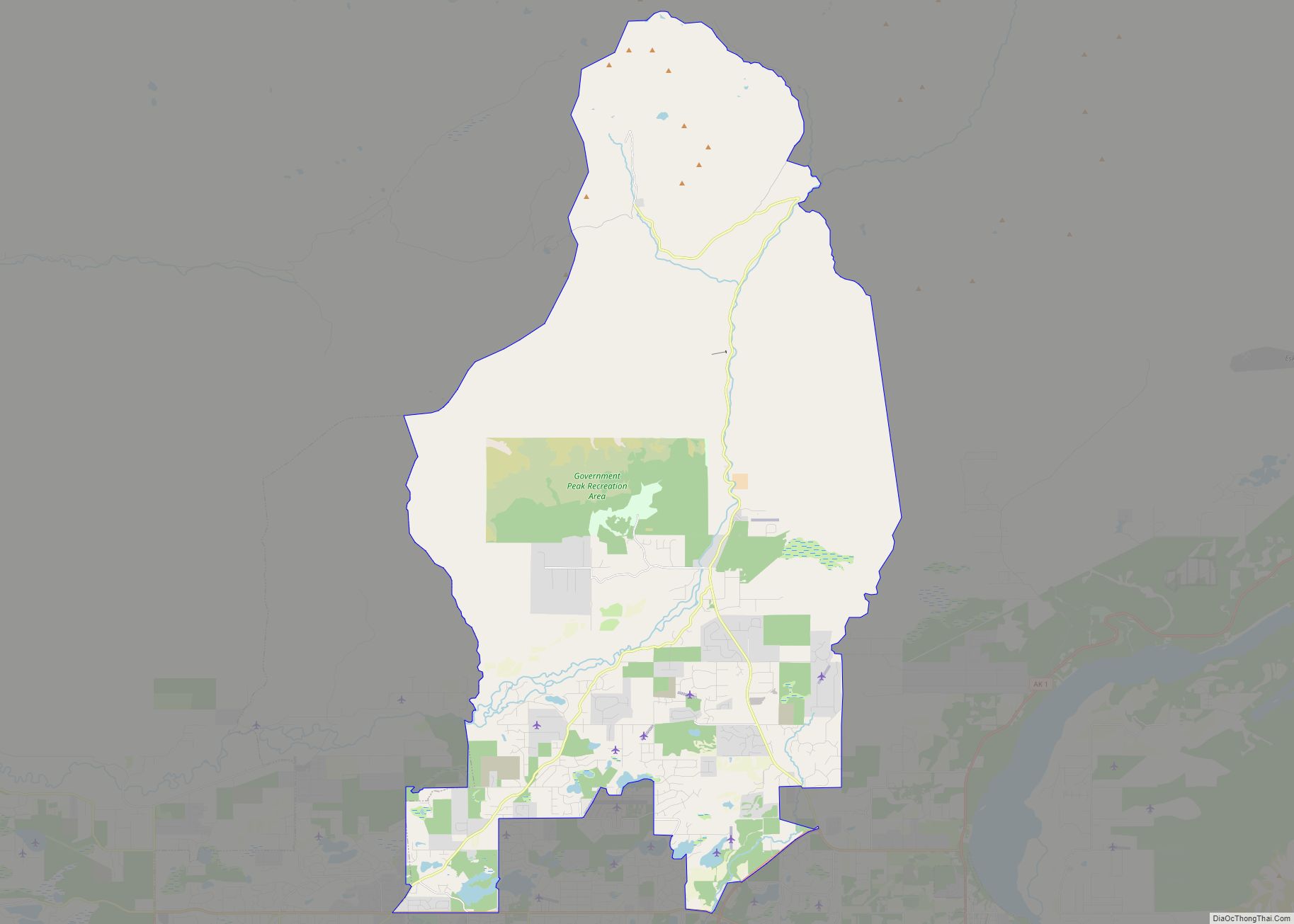
Skwentna Road Map
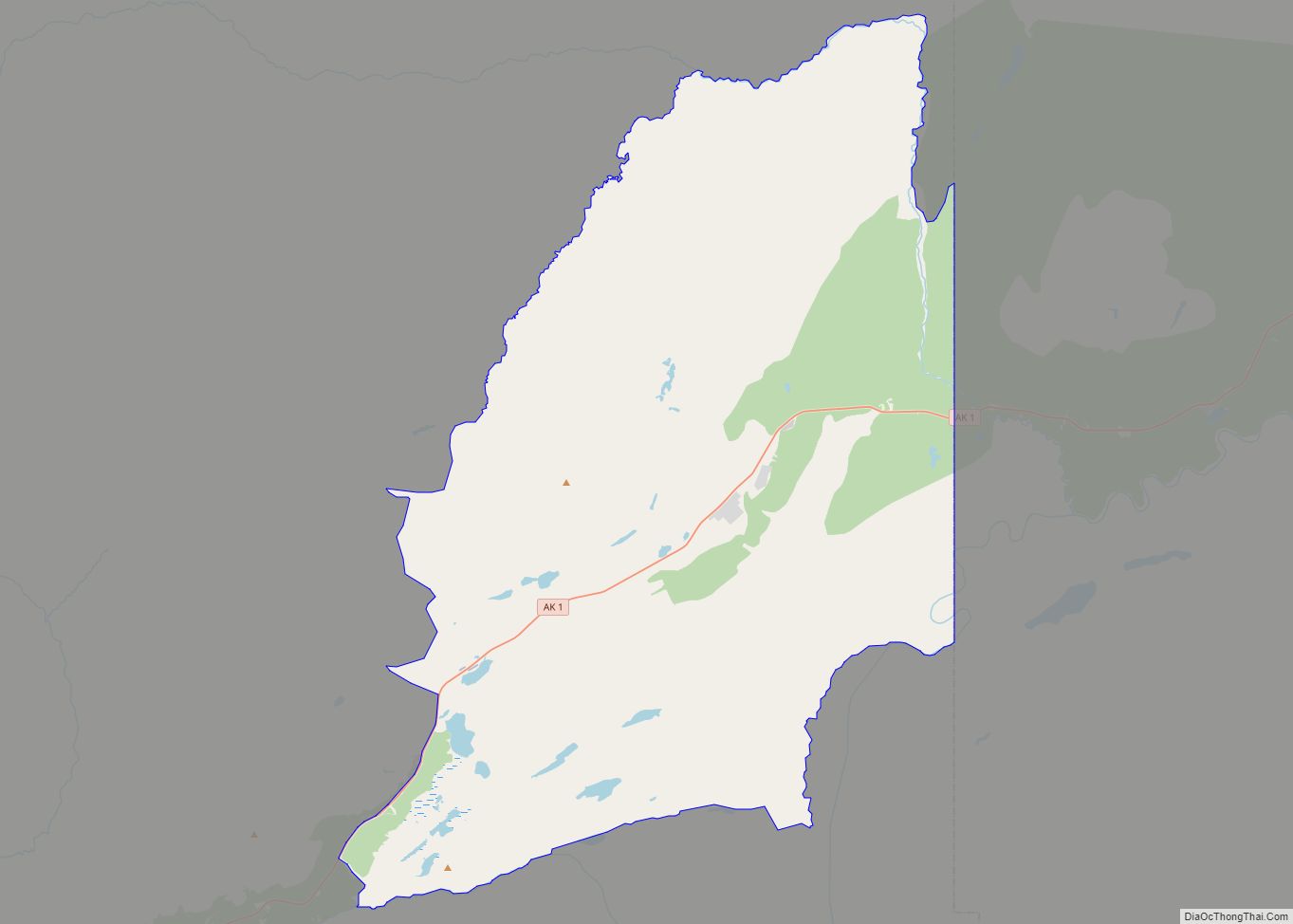
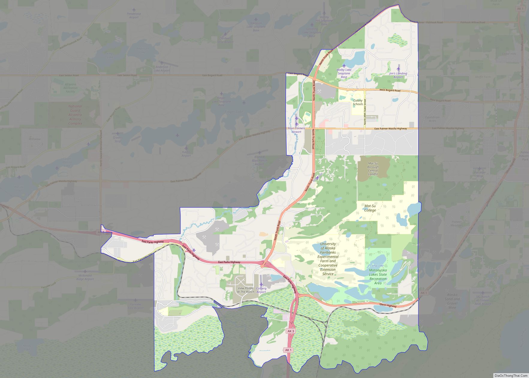
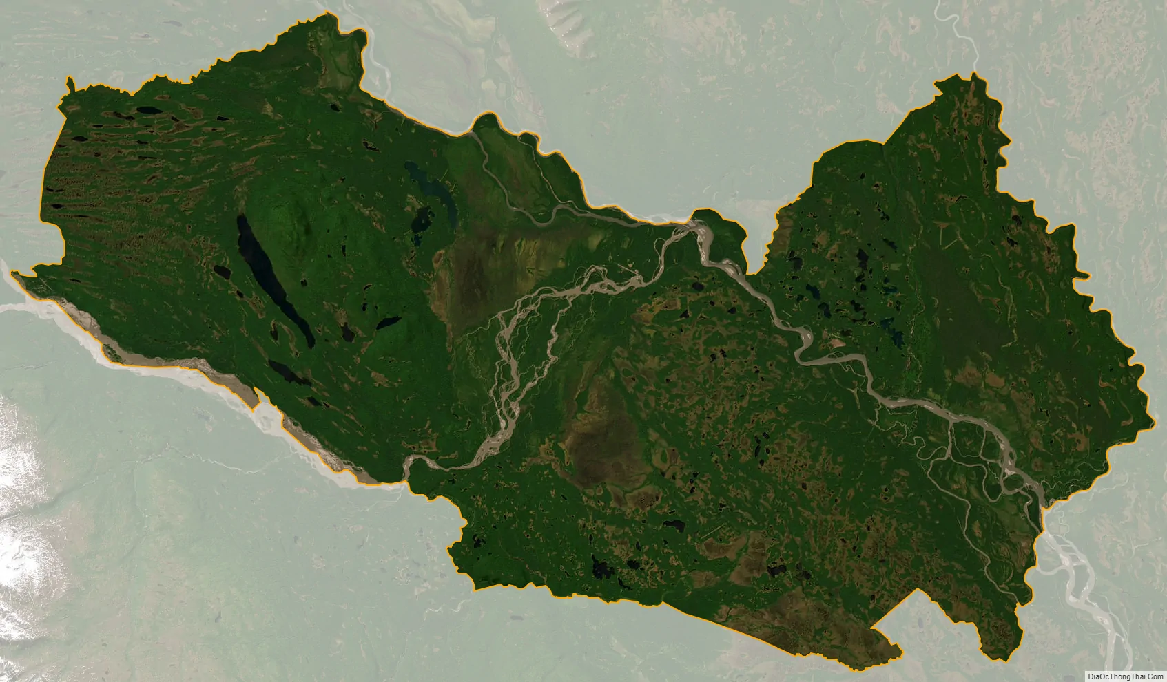
Skwentna city Satellite Map
Geography
Skwentna is located at 61°52′46″N 151°15′59″W / 61.87944°N 151.26639°W / 61.87944; -151.26639 (61.879482, −151.266455).
According to the United States Census Bureau, the CDP has a total area of 449.7 square miles (1,165 km), of which, 442.8 square miles (1,147 km) of it is land and 6.9 square miles (18 km) of it (1.54%) is water.
As with much of South Central Alaska, Skwentna has a dry-summer subarctic climate (Köppen climate classification: Dsc), with long, cold, snowy winters and short, warm summers, although, as is more typical of the Alaska Interior, August averages cooler than June; the town is also located in USDA Plant Hardiness Zone 3, indicating the coldest temperature of the year is typically in the −40 to −30 °F (−40 to −34 °C). In summer, temperatures reach 70 °F (21 °C) on 39 days and 80 °F (27 °C) on 4.6, with an average of 18 nights remaining above 50 °F (10 °C). August through October is the wettest period of the year, while snow typically falls from October to April (rarely May or September), accumulating 119 inches (3.02 m).
See also
Map of Alaska State and its subdivision:- Aleutians East
- Aleutians West
- Anchorage
- Bethel
- Bristol Bay
- Denali
- Dillingham
- Fairbanks North Star
- Haines
- Juneau
- Kenai Peninsula
- Ketchikan Gateway
- Kodiak Island
- Lake and Peninsula
- Matanuska-Susitna
- Nome
- North Slope
- Northwest Arctic
- Prince of Wales-Outer Ketchi
- Sitka
- Skagway-Yakutat-Angoon
- Southeast Fairbanks
- Valdez-Cordova
- Wade Hampton
- Wrangell-Petersburg
- Yukon-Koyukuk
- Alabama
- Alaska
- Arizona
- Arkansas
- California
- Colorado
- Connecticut
- Delaware
- District of Columbia
- Florida
- Georgia
- Hawaii
- Idaho
- Illinois
- Indiana
- Iowa
- Kansas
- Kentucky
- Louisiana
- Maine
- Maryland
- Massachusetts
- Michigan
- Minnesota
- Mississippi
- Missouri
- Montana
- Nebraska
- Nevada
- New Hampshire
- New Jersey
- New Mexico
- New York
- North Carolina
- North Dakota
- Ohio
- Oklahoma
- Oregon
- Pennsylvania
- Rhode Island
- South Carolina
- South Dakota
- Tennessee
- Texas
- Utah
- Vermont
- Virginia
- Washington
- West Virginia
- Wisconsin
- Wyoming