Ugashik (Ugaasaq in Sugpiaq) is a census-designated place (CDP) in Lake and Peninsula Borough, Alaska, United States. The population was 4 at the 2020 census, down from 12 in 2010.
| Name: | Ugashik CDP |
|---|---|
| LSAD Code: | 57 |
| LSAD Description: | CDP (suffix) |
| State: | Alaska |
| County: | Lake and Peninsula Borough |
| Elevation: | 30 ft (9 m) |
| Total Area: | 267.69 sq mi (693.31 km²) |
| Land Area: | 253.62 sq mi (656.87 km²) |
| Water Area: | 14.07 sq mi (36.44 km²) |
| Total Population: | 4 |
| Population Density: | 0.02/sq mi (0.01/km²) |
| Area code: | 907 |
| FIPS code: | 0280100 |
| GNISfeature ID: | 1411486 |
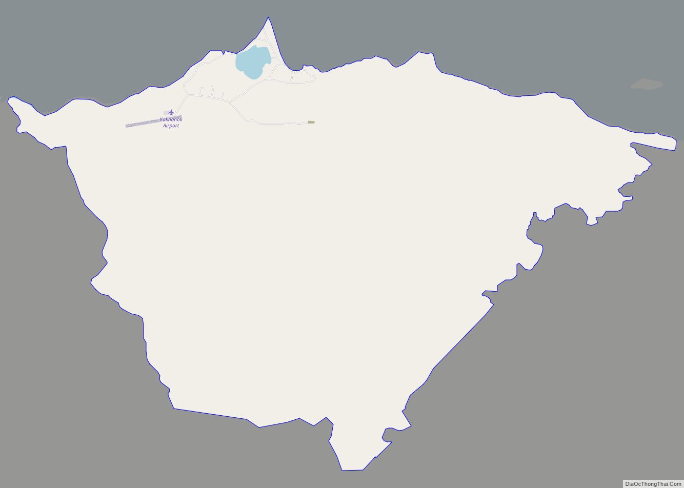
Online Interactive Map
Click on ![]() to view map in "full screen" mode.
to view map in "full screen" mode.
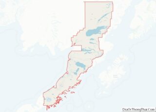
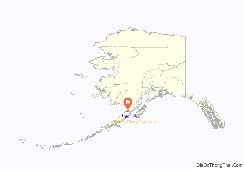
Ugashik location map. Where is Ugashik CDP?
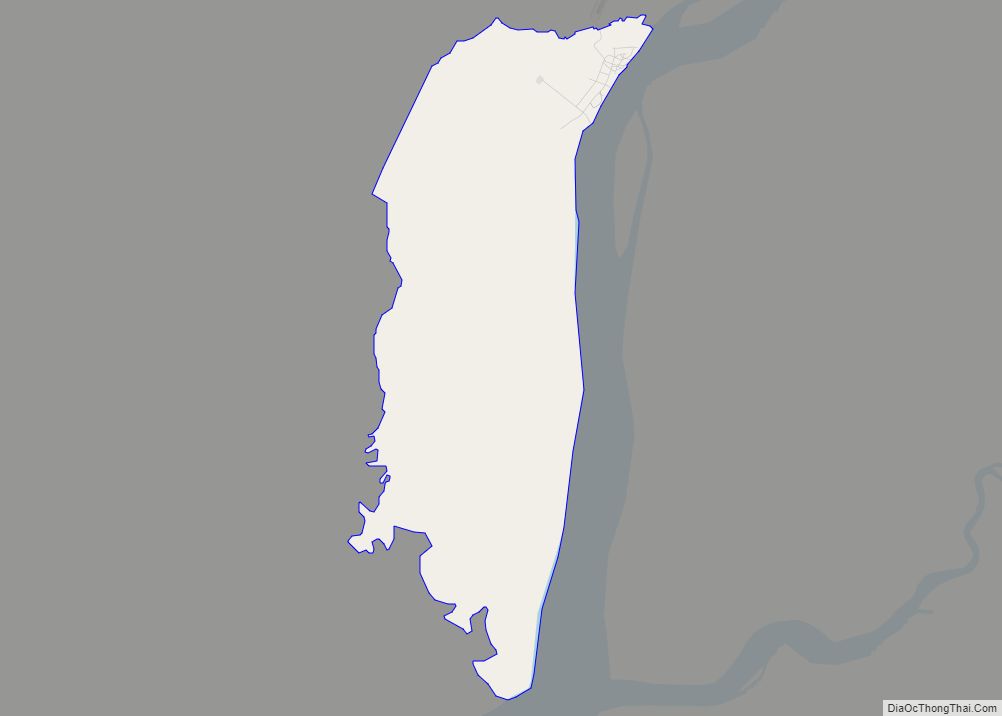
Ugashik Road Map
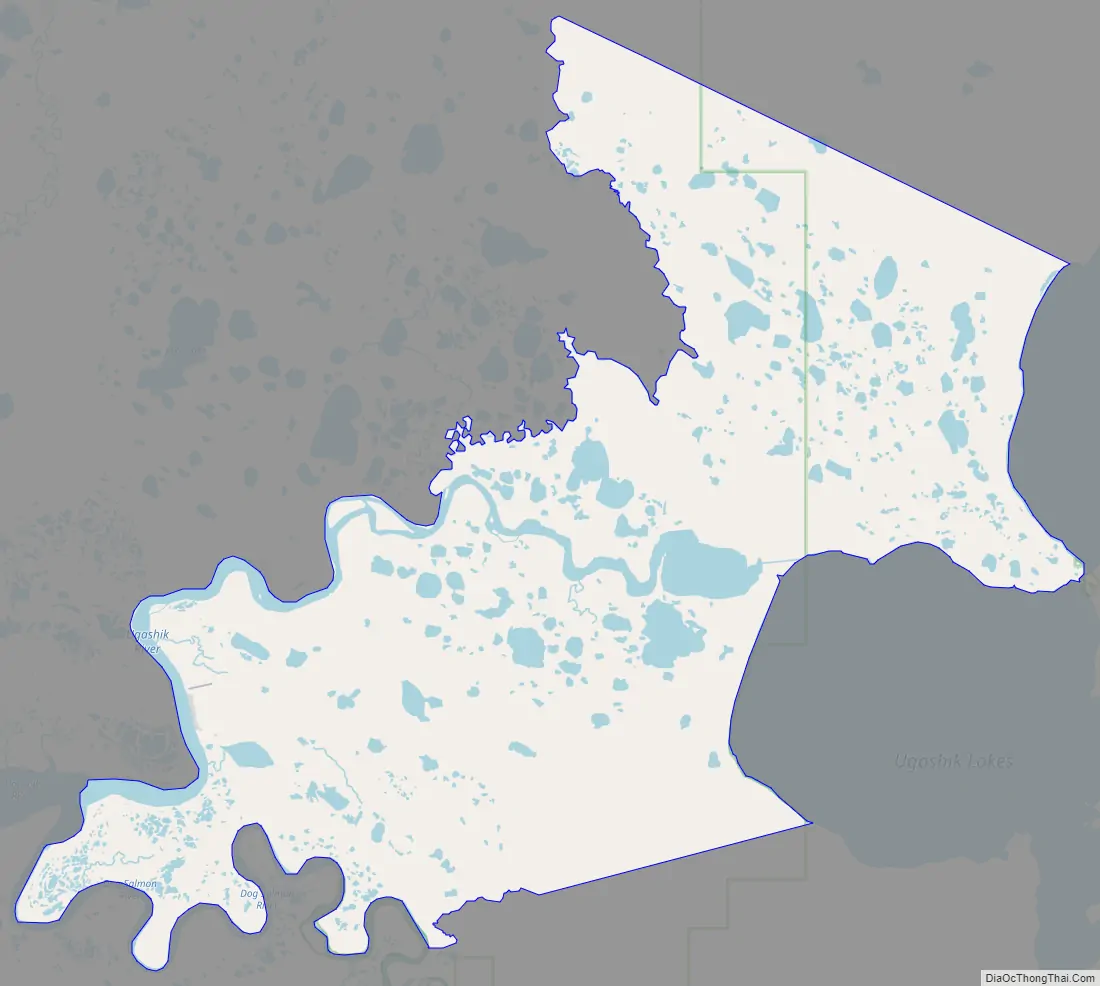
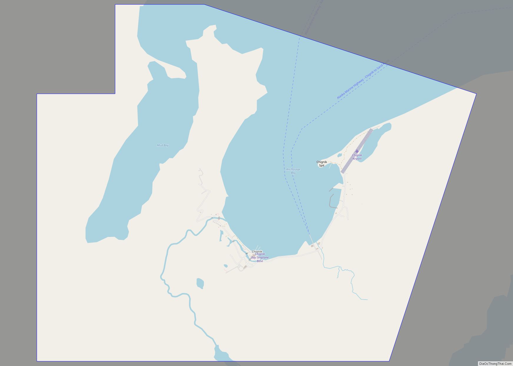
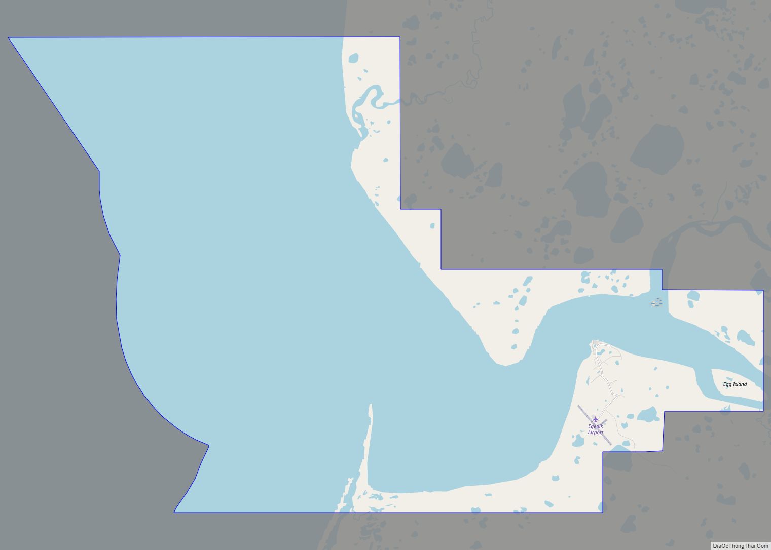
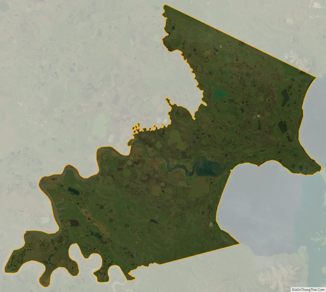
Ugashik city Satellite Map
Geography
Ugashik is located on the Alaska Peninsula at 57°32′3″N 157°16′8″W / 57.53417°N 157.26889°W / 57.53417; -157.26889 (57.534143, -157.268870). The community sits on the east bank of the Ugashik River, 10 miles (16 km) upriver (east) from its mouth in Ugashik Bay, an arm of Bristol Bay of the Bering Sea, and 25 miles (40 km) downriver (west) from the mouth of Lower Ugashik Lake. The CDP extends east as far as the west shores of Lower and Upper Ugashik Lakes.
According to the United States Census Bureau, the CDP has a total area of 266.6 square miles (690.4 km), of which 247.5 square miles (641.1 km) are land and 19.0 square miles (49.3 km), or 7.15%, are water.
The village of Ugashik is located some 6 miles (10 km) by air and 20 miles (32 km) by river east of the village of Pilot Point. The proximity to the salmon-rich waters of Ugashik Bay and available fresh water supply made it suitable as a location for a salmon cannery, Alaska Packers which operated until 1957. A family-owned company, Briggs Way Cannery, opened in 1962, and runs to this day. It is currently known as Ugashik Wild Salmon Co. and is continued on by the second generation of family and fishermen.
See also
Map of Alaska State and its subdivision:- Aleutians East
- Aleutians West
- Anchorage
- Bethel
- Bristol Bay
- Denali
- Dillingham
- Fairbanks North Star
- Haines
- Juneau
- Kenai Peninsula
- Ketchikan Gateway
- Kodiak Island
- Lake and Peninsula
- Matanuska-Susitna
- Nome
- North Slope
- Northwest Arctic
- Prince of Wales-Outer Ketchi
- Sitka
- Skagway-Yakutat-Angoon
- Southeast Fairbanks
- Valdez-Cordova
- Wade Hampton
- Wrangell-Petersburg
- Yukon-Koyukuk
- Alabama
- Alaska
- Arizona
- Arkansas
- California
- Colorado
- Connecticut
- Delaware
- District of Columbia
- Florida
- Georgia
- Hawaii
- Idaho
- Illinois
- Indiana
- Iowa
- Kansas
- Kentucky
- Louisiana
- Maine
- Maryland
- Massachusetts
- Michigan
- Minnesota
- Mississippi
- Missouri
- Montana
- Nebraska
- Nevada
- New Hampshire
- New Jersey
- New Mexico
- New York
- North Carolina
- North Dakota
- Ohio
- Oklahoma
- Oregon
- Pennsylvania
- Rhode Island
- South Carolina
- South Dakota
- Tennessee
- Texas
- Utah
- Vermont
- Virginia
- Washington
- West Virginia
- Wisconsin
- Wyoming