Ak Chin, is a rural native village and a census-designated place on the Tohono Oʼodham Reservation, in Pima County, Arizona, United States. It had a population of 30 as of the 2010 U.S. Census and an estimated population of 31 as of July 1, 2015. Ak Chin has an estimated elevation of 1,854 feet (565 m) above sea level.
It is not to be confused with either Ak-Chin Village or with Ak Chin, a populated place located within Ak-Chin Village.
| Name: | Ak Chin CDP |
|---|---|
| LSAD Code: | 57 |
| LSAD Description: | CDP (suffix) |
| State: | Arizona |
| County: | Pima County |
| Elevation: | 1,854 ft (565 m) |
| Total Area: | 0.53 sq mi (1.36 km²) |
| Land Area: | 0.53 sq mi (1.36 km²) |
| Water Area: | 0.00 sq mi (0.00 km²) |
| Total Population: | 50 |
| Population Density: | 95.06/sq mi (36.69/km²) |
| ZIP code: | 85634 |
| Area code: | 520 |
| FIPS code: | 0400940 |
| GNISfeature ID: | 2582721 |
Online Interactive Map
Click on ![]() to view map in "full screen" mode.
to view map in "full screen" mode.
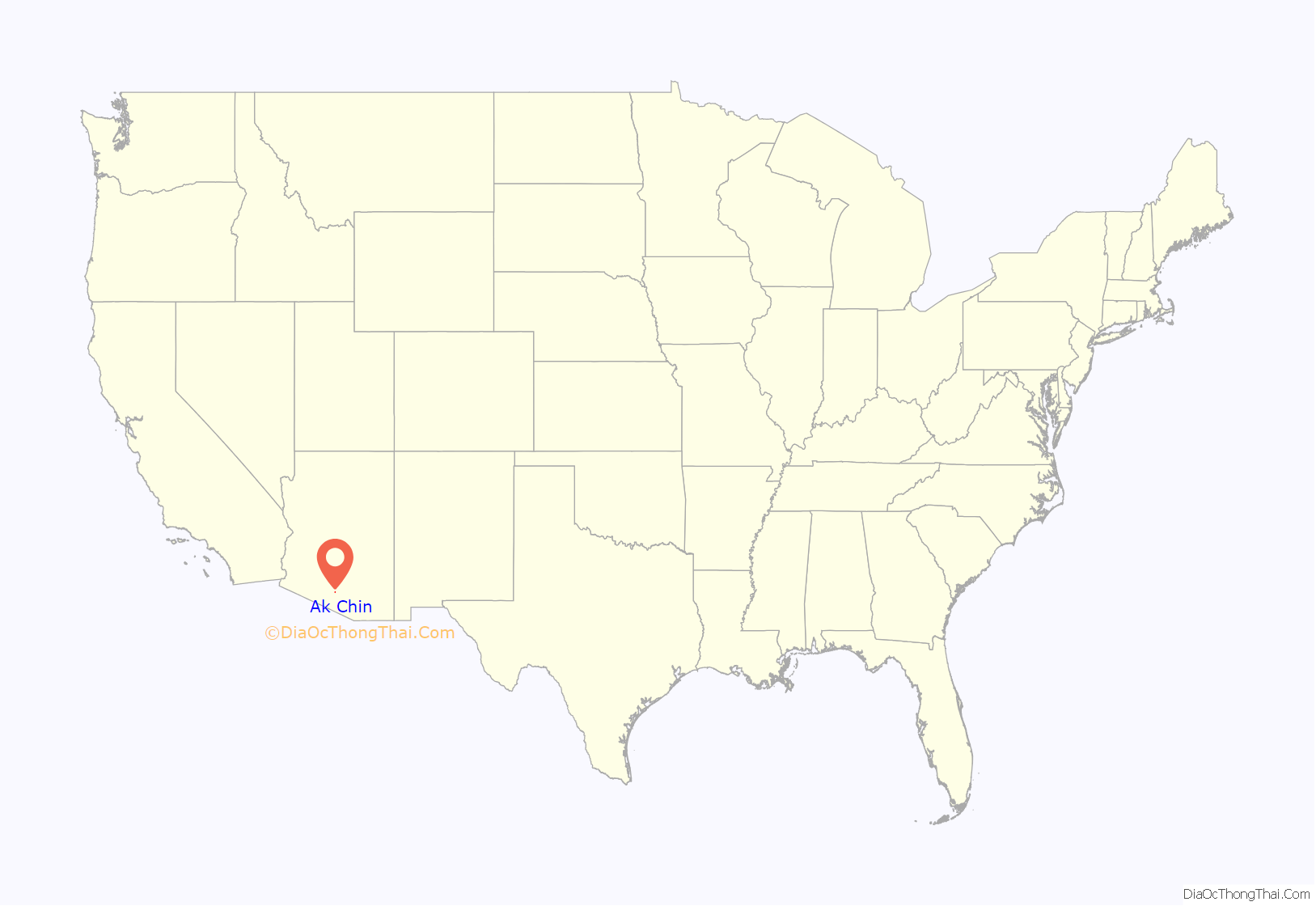
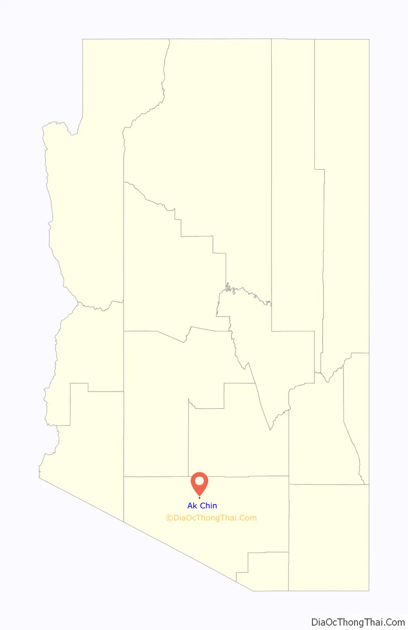
Ak Chin location map. Where is Ak Chin CDP?
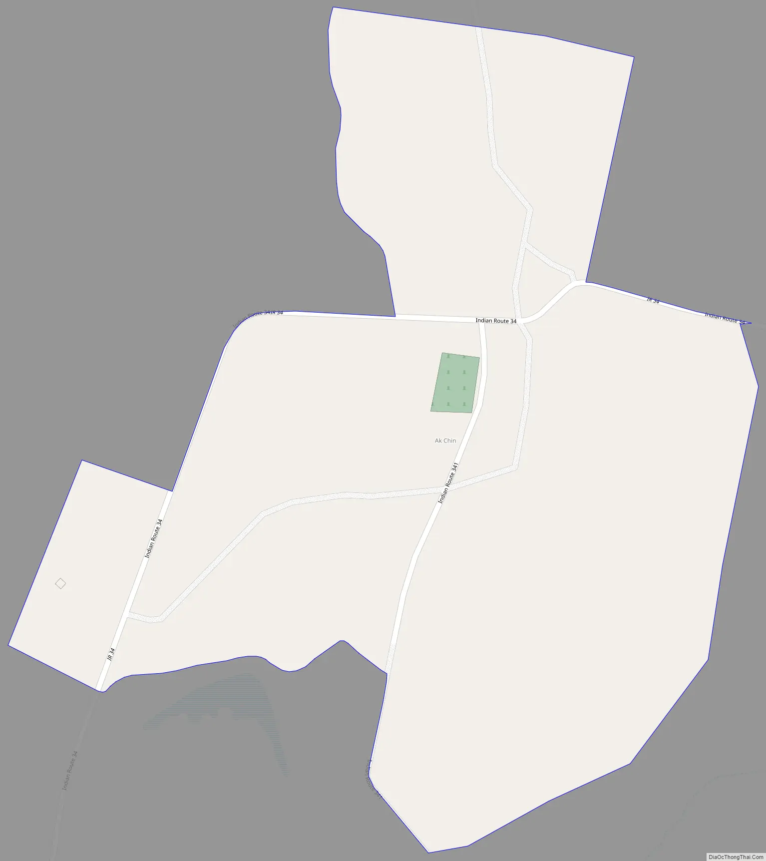
Ak Chin Road Map
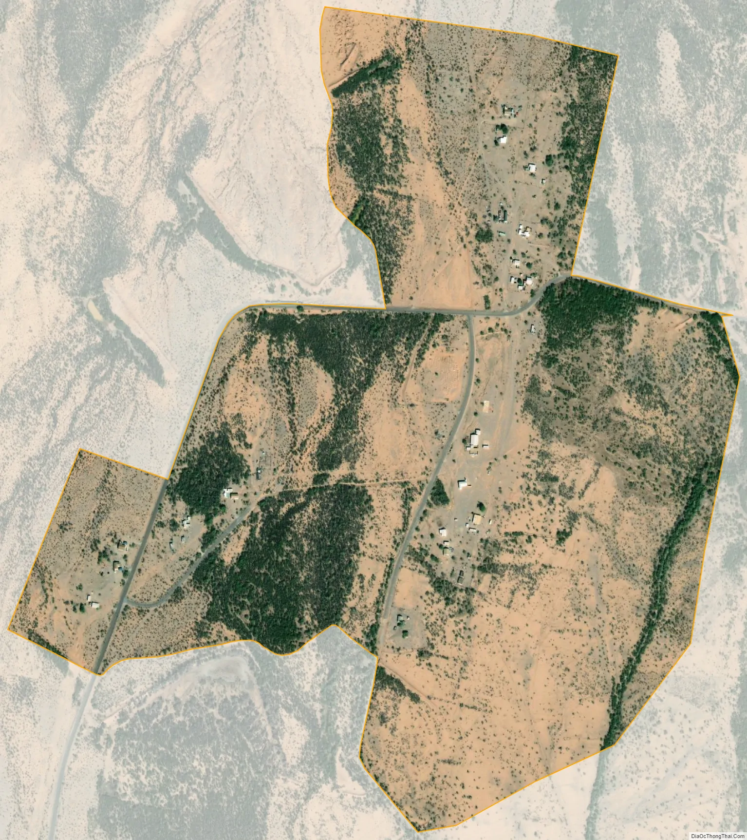
Ak Chin city Satellite Map
See also
Map of Arizona State and its subdivision: Map of other states:- Alabama
- Alaska
- Arizona
- Arkansas
- California
- Colorado
- Connecticut
- Delaware
- District of Columbia
- Florida
- Georgia
- Hawaii
- Idaho
- Illinois
- Indiana
- Iowa
- Kansas
- Kentucky
- Louisiana
- Maine
- Maryland
- Massachusetts
- Michigan
- Minnesota
- Mississippi
- Missouri
- Montana
- Nebraska
- Nevada
- New Hampshire
- New Jersey
- New Mexico
- New York
- North Carolina
- North Dakota
- Ohio
- Oklahoma
- Oregon
- Pennsylvania
- Rhode Island
- South Carolina
- South Dakota
- Tennessee
- Texas
- Utah
- Vermont
- Virginia
- Washington
- West Virginia
- Wisconsin
- Wyoming


