Arivaca Junction is a census-designated place (CDP) in Pima County, Arizona, United States. The population was 1,090 at the 2010 census. As of July 1, 2015, it had an estimated population of 1,065. Arivaca Junction has an estimated elevation of 3,140 feet (960 m) above sea level.
| Name: | Arivaca Junction CDP |
|---|---|
| LSAD Code: | 57 |
| LSAD Description: | CDP (suffix) |
| State: | Arizona |
| County: | Pima County |
| Elevation: | 3,140 ft (957 m) |
| Total Area: | 2.95 sq mi (7.65 km²) |
| Land Area: | 2.95 sq mi (7.65 km²) |
| Water Area: | 0.00 sq mi (0.00 km²) |
| Total Population: | 970 |
| Population Density: | 328.37/sq mi (126.79/km²) |
| Area code: | 520 |
| FIPS code: | 0403380 |
| GNISfeature ID: | 2582731 |
Online Interactive Map
Click on ![]() to view map in "full screen" mode.
to view map in "full screen" mode.
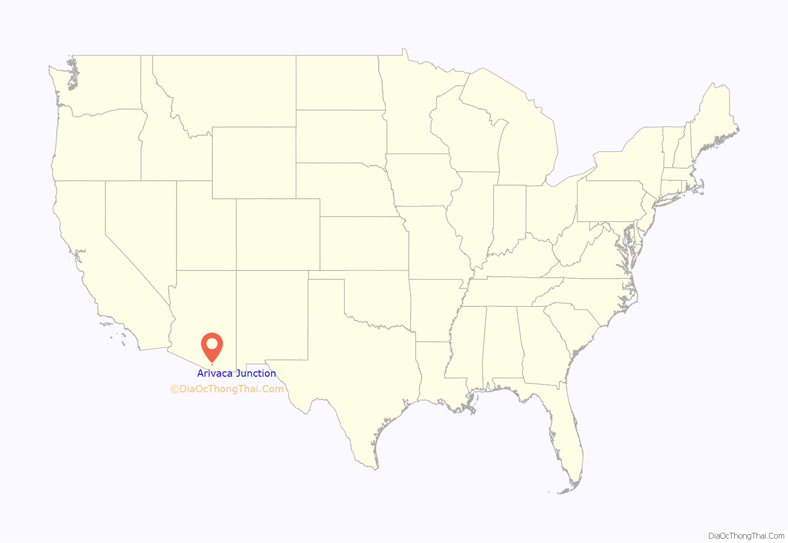
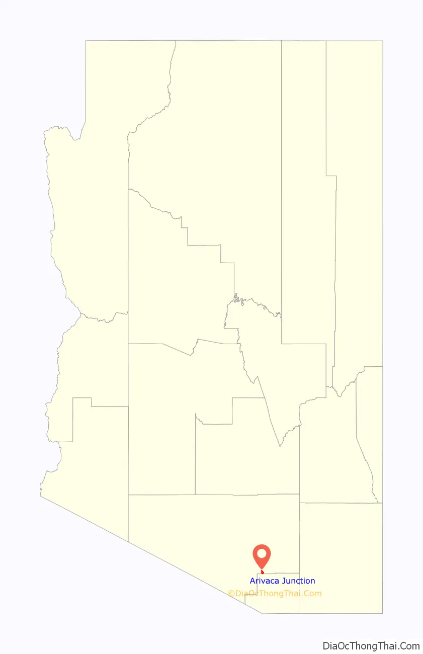
Arivaca Junction location map. Where is Arivaca Junction CDP?
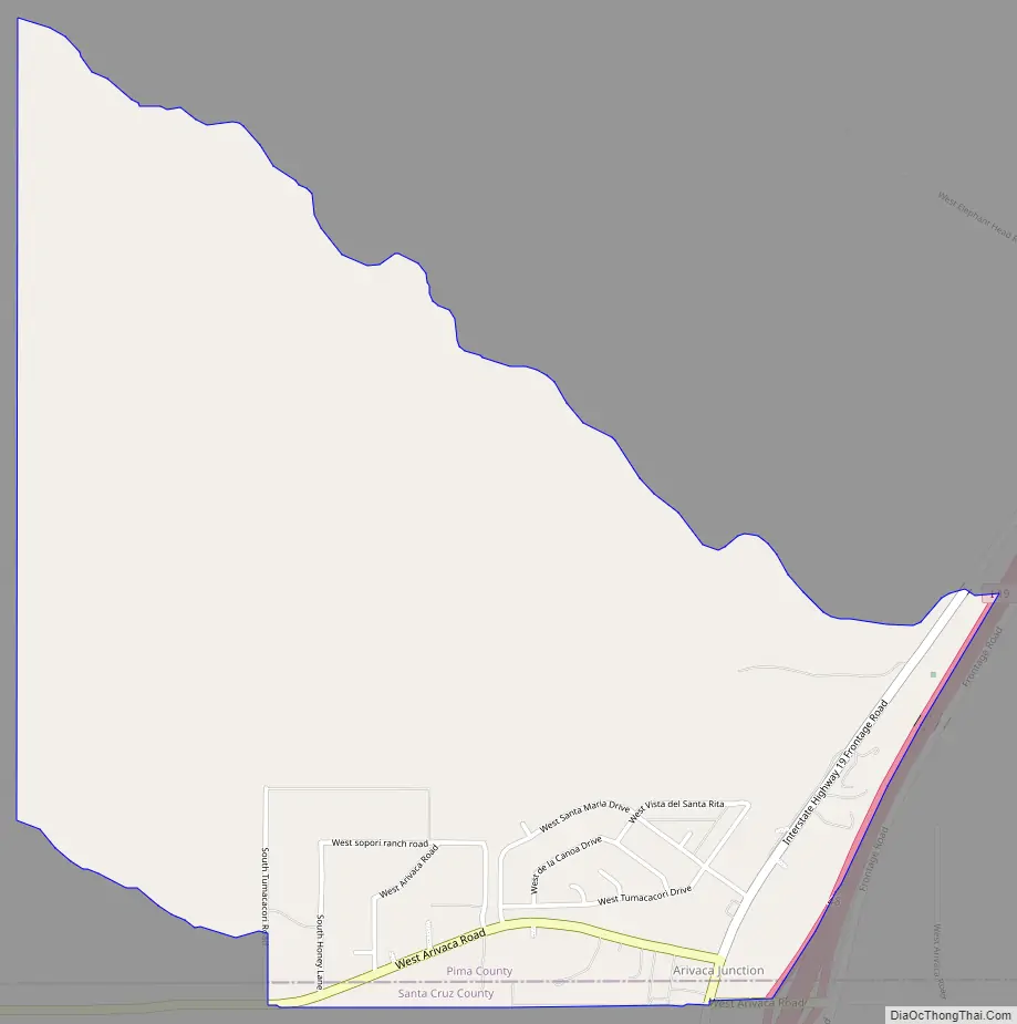
Arivaca Junction Road Map
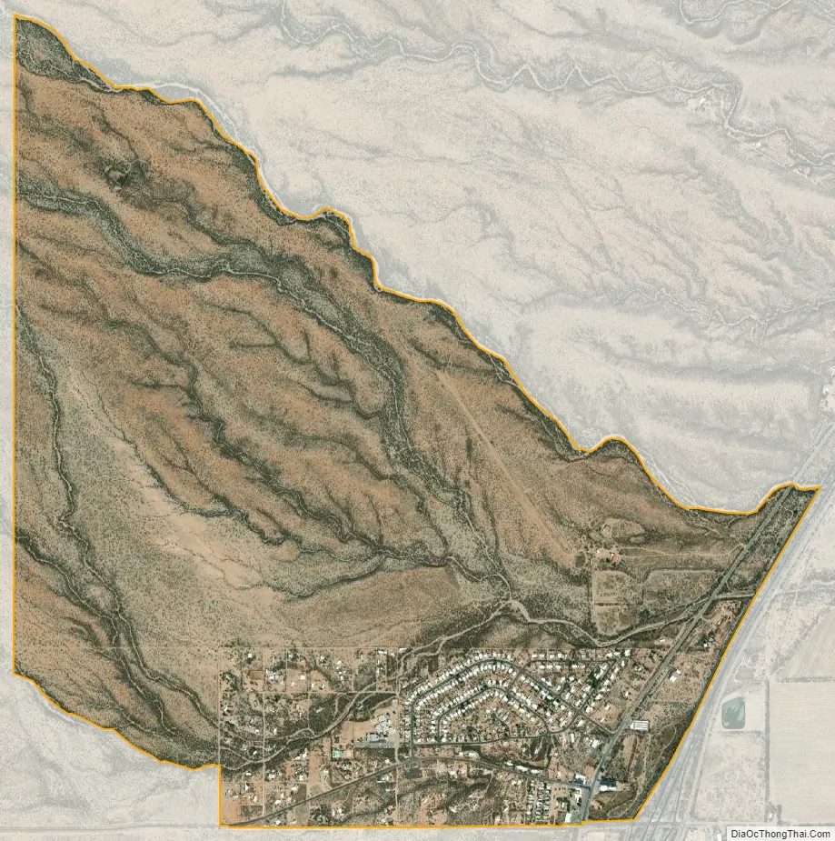
Arivaca Junction city Satellite Map
See also
Map of Arizona State and its subdivision: Map of other states:- Alabama
- Alaska
- Arizona
- Arkansas
- California
- Colorado
- Connecticut
- Delaware
- District of Columbia
- Florida
- Georgia
- Hawaii
- Idaho
- Illinois
- Indiana
- Iowa
- Kansas
- Kentucky
- Louisiana
- Maine
- Maryland
- Massachusetts
- Michigan
- Minnesota
- Mississippi
- Missouri
- Montana
- Nebraska
- Nevada
- New Hampshire
- New Jersey
- New Mexico
- New York
- North Carolina
- North Dakota
- Ohio
- Oklahoma
- Oregon
- Pennsylvania
- Rhode Island
- South Carolina
- South Dakota
- Tennessee
- Texas
- Utah
- Vermont
- Virginia
- Washington
- West Virginia
- Wisconsin
- Wyoming


