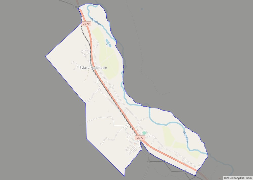
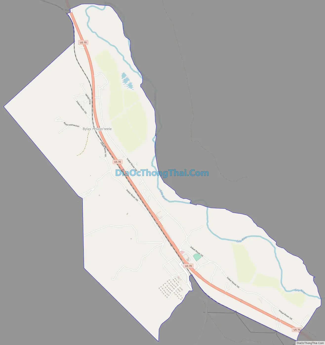
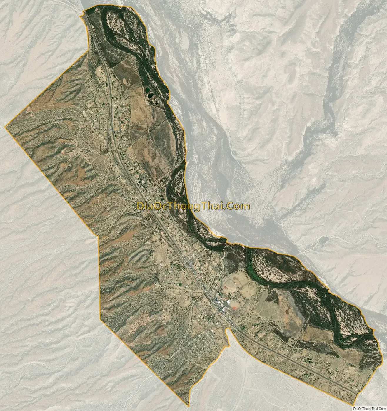
Bylas (Western Apache: Hago’teełe) is an unincorporated community and census-designated place in Graham County, Arizona, United States, located within the San Carlos Apache Indian Reservation. As of the 2010 census, its population was 1,962. The community has a medical clinic, a police substation, and a market. Bylas is an Apache settlement divided into two communities, one of the White Mountain Apache, the other of San Carlos and Southern Tonto Apache. It is named for Bylas (a.k.a. Bailish) a chief of the Eastern White Mountain Apache band.
| Name: | Bylas CDP |
|---|---|
| LSAD Code: | 57 |
| LSAD Description: | CDP (suffix) |
| State: | Arizona |
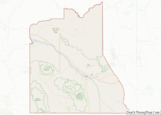
| County: | Graham County |
| Elevation: | 2,608 ft (795 m) |
| Total Area: | 4.20 sq mi (10.88 km²) |
| Land Area: | 4.18 sq mi (10.83 km²) |
| Water Area: | 0.02 sq mi (0.05 km²) |
| Total Population: | 1,782 |
| Population Density: | 426.21/sq mi (164.55/km²) |
| ZIP code: | 85530 |
| Area code: | 928 |
| FIPS code: | 0408710 |
Online Interactive Map
Click on ![]() to view map in "full screen" mode.
to view map in "full screen" mode.
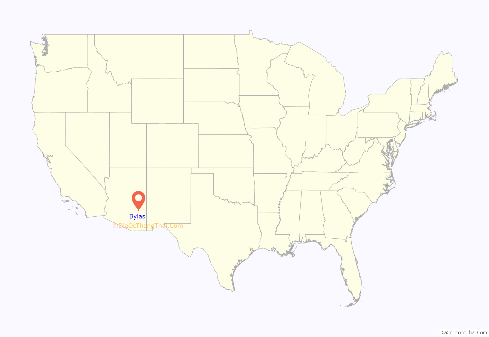
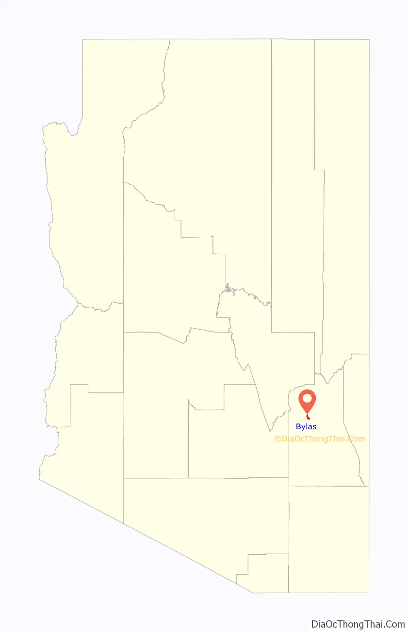
Bylas location map. Where is Bylas CDP?
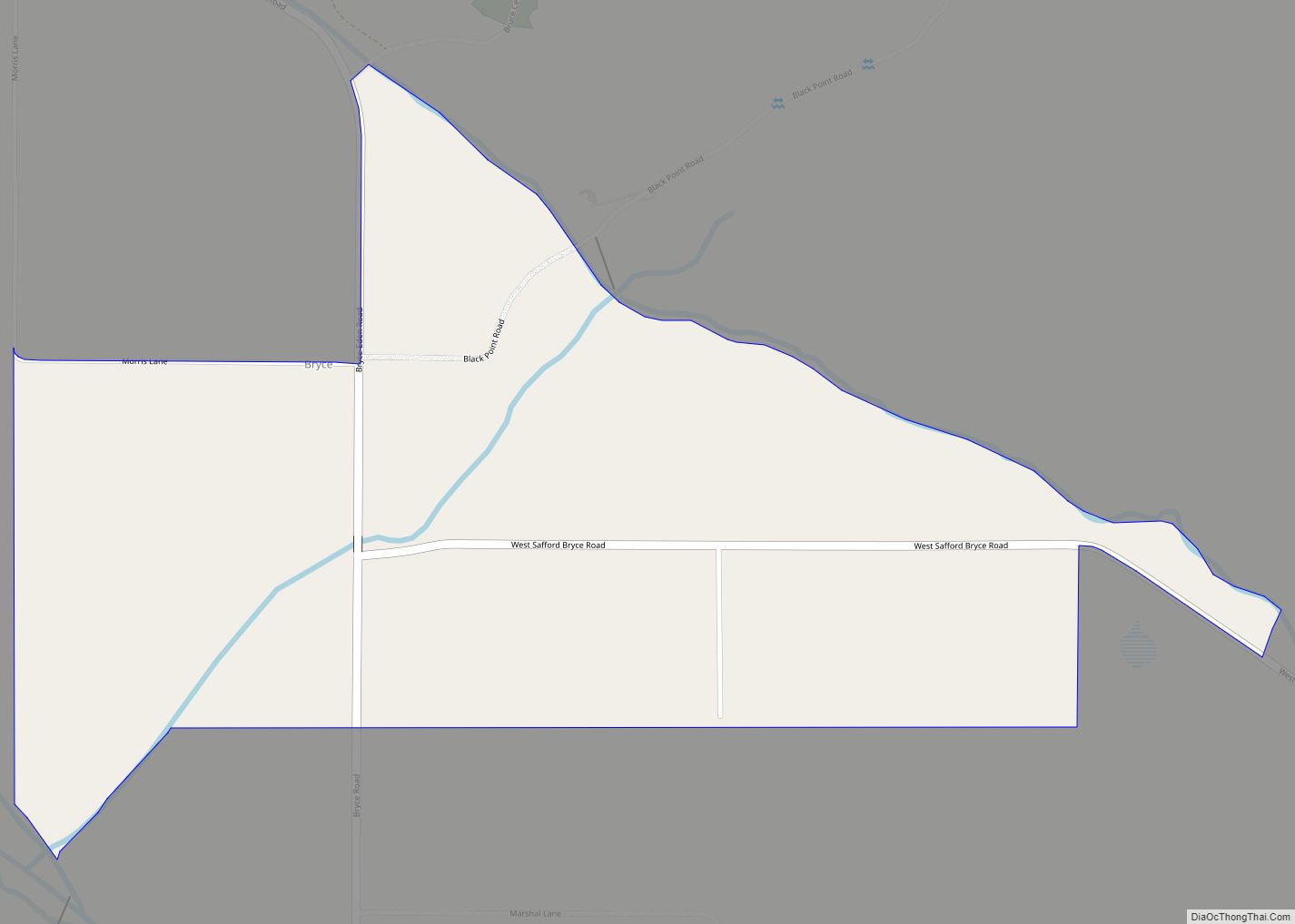
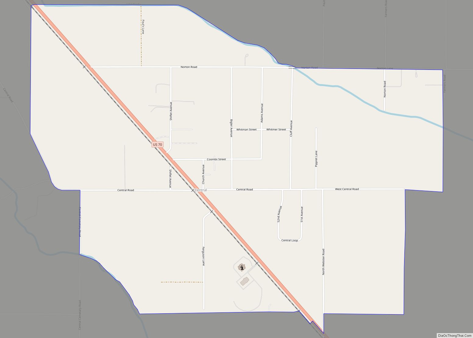
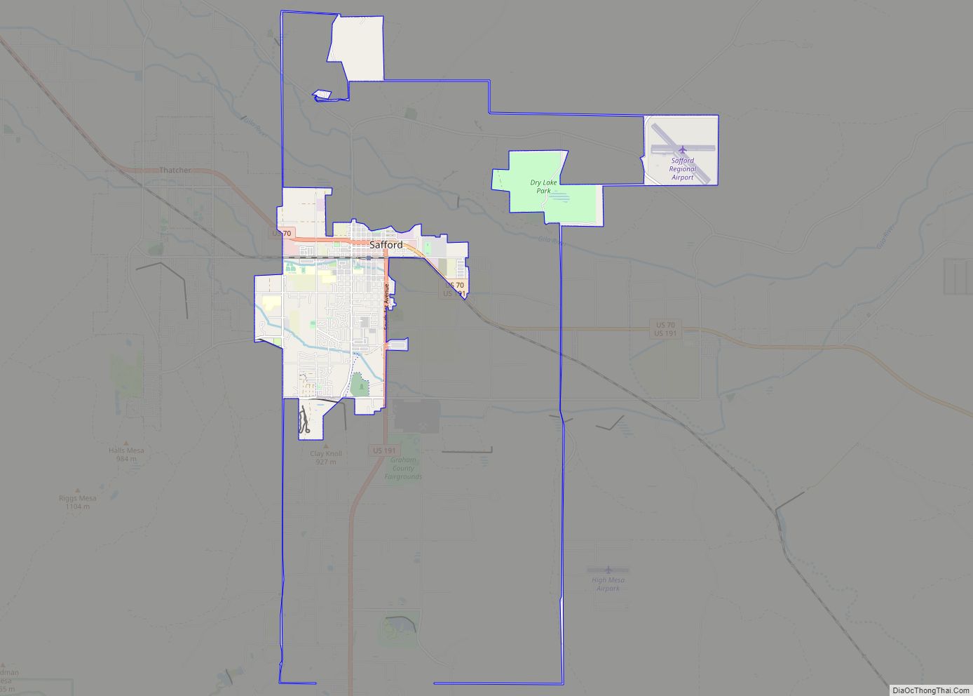
Bylas Road Map
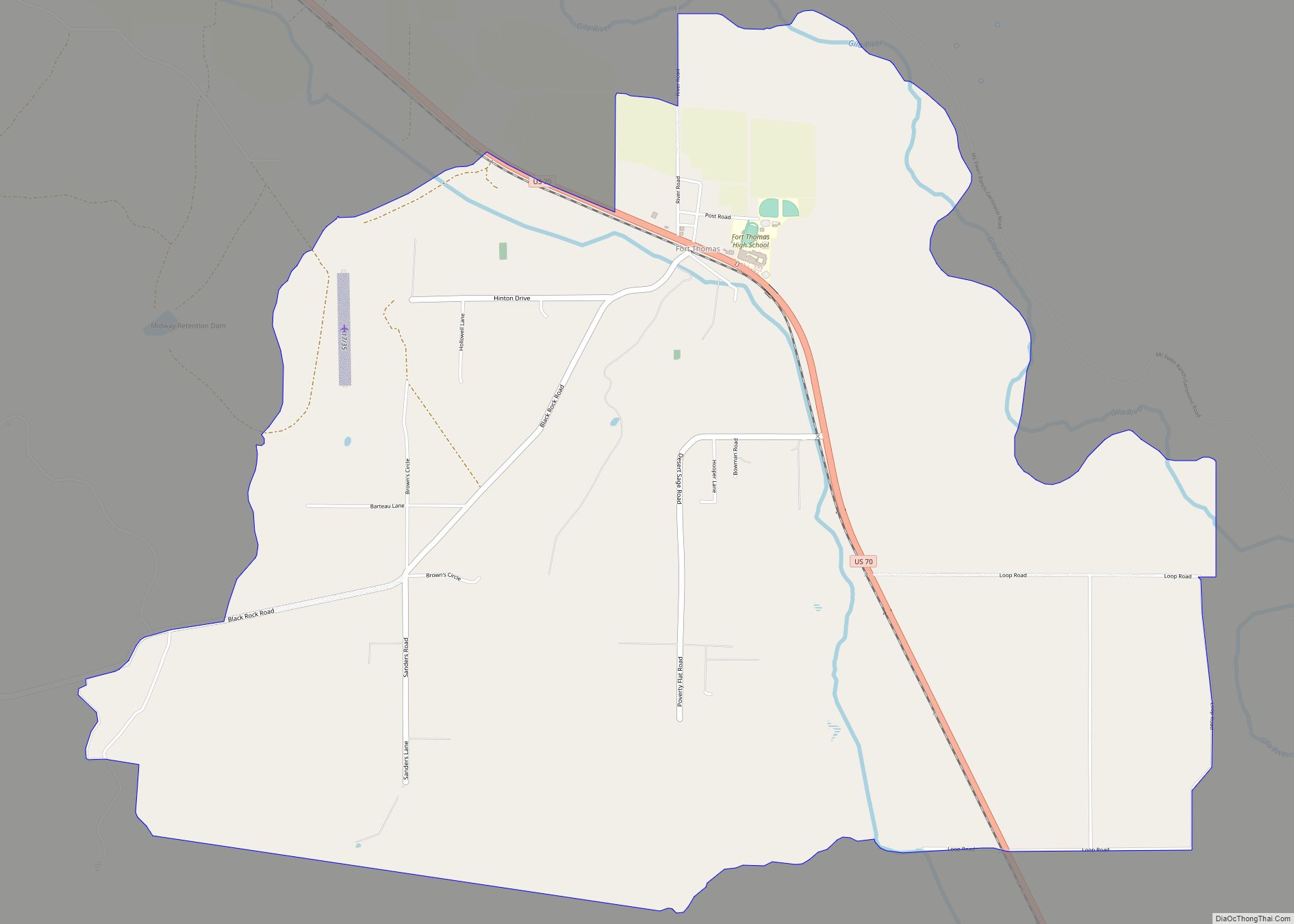
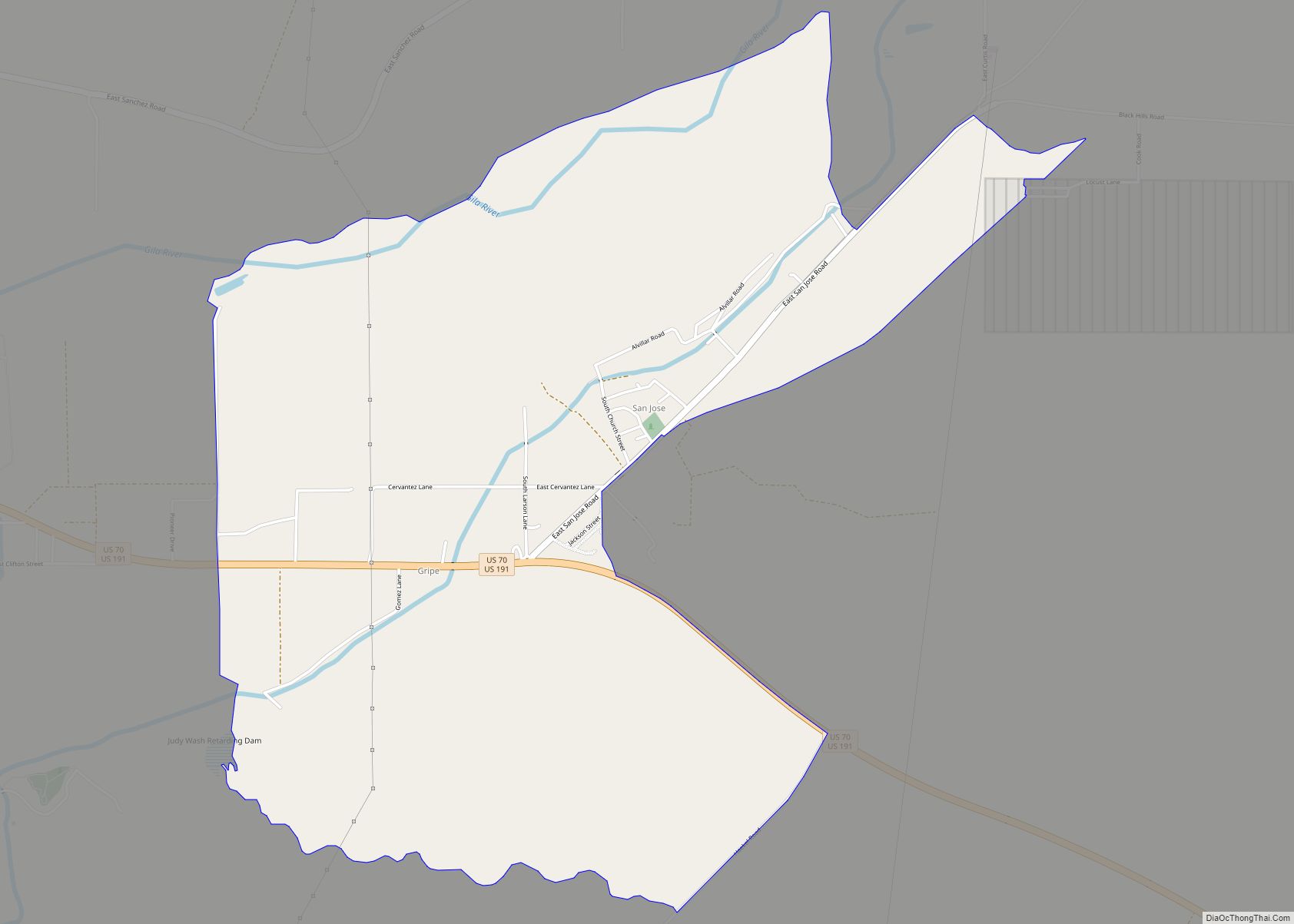
Bylas city Satellite Map
Geography
Bylas is located at 33°8′19″N 110°7′30″W / 33.13861°N 110.12500°W / 33.13861; -110.12500 (33.1386688, -110.1250875), at an elevation of 2,608 feet (795 m).
See also
Map of Arizona State and its subdivision: Map of other states:- Alabama
- Alaska
- Arizona
- Arkansas
- California
- Colorado
- Connecticut
- Delaware
- District of Columbia
- Florida
- Georgia
- Hawaii
- Idaho
- Illinois
- Indiana
- Iowa
- Kansas
- Kentucky
- Louisiana
- Maine
- Maryland
- Massachusetts
- Michigan
- Minnesota
- Mississippi
- Missouri
- Montana
- Nebraska
- Nevada
- New Hampshire
- New Jersey
- New Mexico
- New York
- North Carolina
- North Dakota
- Ohio
- Oklahoma
- Oregon
- Pennsylvania
- Rhode Island
- South Carolina
- South Dakota
- Tennessee
- Texas
- Utah
- Vermont
- Virginia
- Washington
- West Virginia
- Wisconsin
- Wyoming