Canyon Day (Western Apache: Yangongai) is a census-designated place (CDP) in Gila County, Arizona, United States, on the Fort Apache Indian Reservation. The population was 1,209 at the 2010 census.
| Name: | Canyon Day CDP |
|---|---|
| LSAD Code: | 57 |
| LSAD Description: | CDP (suffix) |
| State: | Arizona |
| County: | Gila County |
| Elevation: | 5,000 ft (1,524 m) |
| Total Area: | 5.25 sq mi (13.61 km²) |
| Land Area: | 5.20 sq mi (13.46 km²) |
| Water Area: | 0.06 sq mi (0.15 km²) |
| Total Population: | 1,205 |
| Population Density: | 231.91/sq mi (89.54/km²) |
| ZIP code: | 85542 |
| Area code: | 928 |
| FIPS code: | 0410040 |
| GNISfeature ID: | 0002435 |
Online Interactive Map
Click on ![]() to view map in "full screen" mode.
to view map in "full screen" mode.
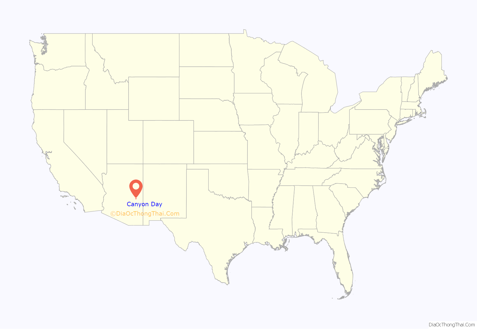
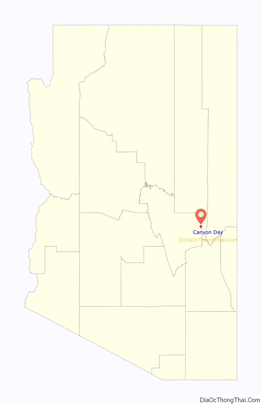
Canyon Day location map. Where is Canyon Day CDP?
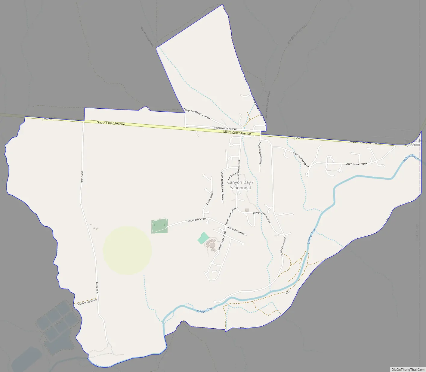
Canyon Day Road Map
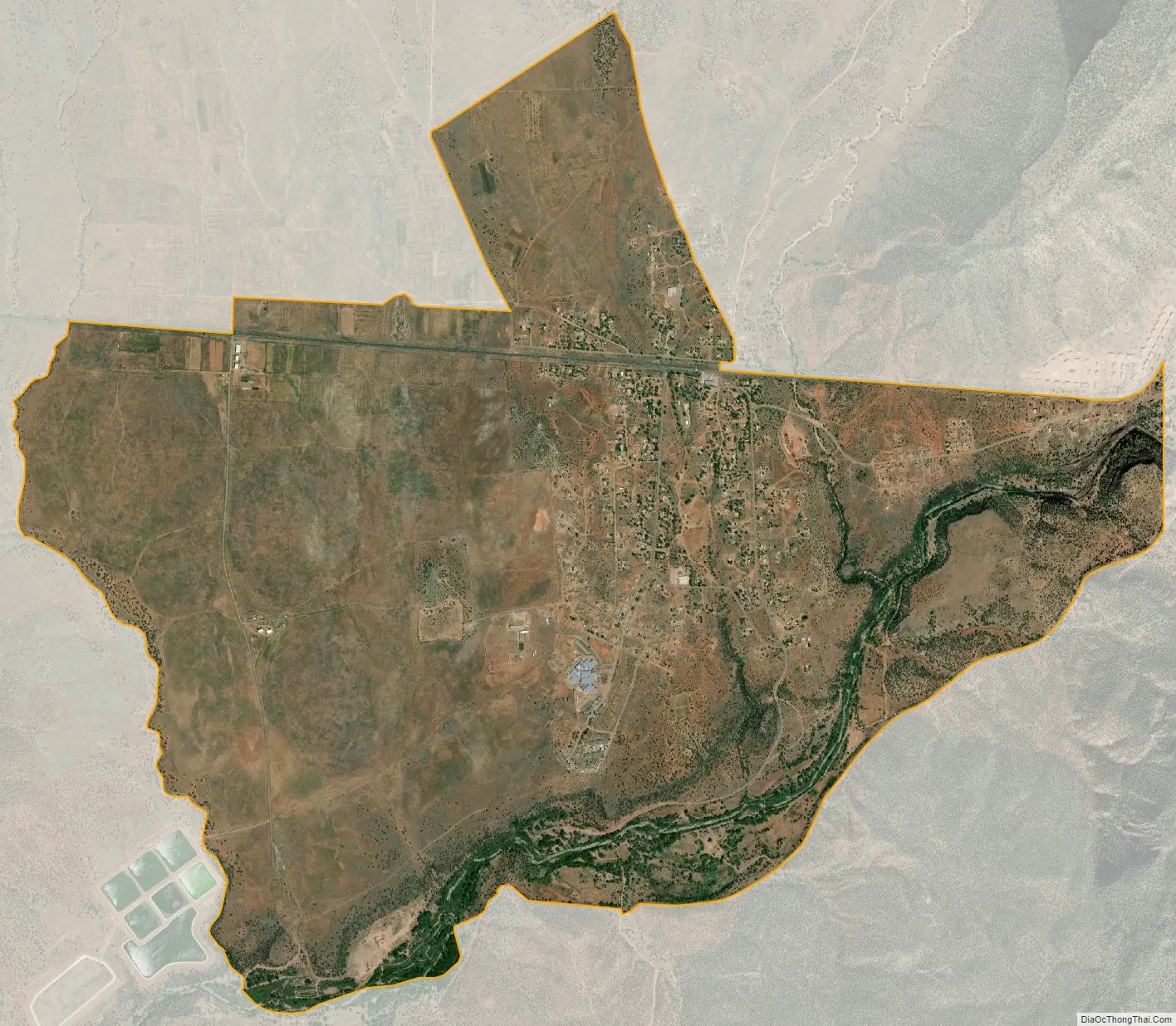
Canyon Day city Satellite Map
Geography
Canyon Day is located in easternmost Gila County at 33°47′16″N 110°1′25″W / 33.78778°N 110.02361°W / 33.78778; -110.02361 (33.787774, -110.023655). It is bordered to the east by Fort Apache in Navajo County. Arizona State Route 73 passes through Canyon Day, leading northeast 24 miles (39 km) to Hondah or Indian Pine and northwest 23 miles (37 km) to U.S. Route 60 near Carrizo.
According to the United States Census Bureau, the CDP has a total area of 5.08 square miles (13.16 km), of which 5.02 square miles (13.01 km) is land and 0.058 square miles (0.15 km), or 1.2%, is water. The White River, a west-flowing tributary of the Salt River, forms the southern edge of the Canyon Day CDP.
See also
Map of Arizona State and its subdivision: Map of other states:- Alabama
- Alaska
- Arizona
- Arkansas
- California
- Colorado
- Connecticut
- Delaware
- District of Columbia
- Florida
- Georgia
- Hawaii
- Idaho
- Illinois
- Indiana
- Iowa
- Kansas
- Kentucky
- Louisiana
- Maine
- Maryland
- Massachusetts
- Michigan
- Minnesota
- Mississippi
- Missouri
- Montana
- Nebraska
- Nevada
- New Hampshire
- New Jersey
- New Mexico
- New York
- North Carolina
- North Dakota
- Ohio
- Oklahoma
- Oregon
- Pennsylvania
- Rhode Island
- South Carolina
- South Dakota
- Tennessee
- Texas
- Utah
- Vermont
- Virginia
- Washington
- West Virginia
- Wisconsin
- Wyoming


