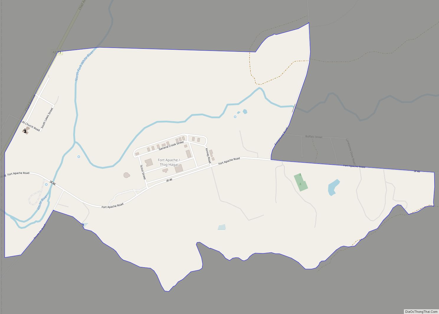
Fort Apache (Western Apache: Tłʼog Hagai) is an unincorporated community in Navajo County, Arizona, United States. Fort Apache is on the Fort Apache Indian Reservation, 2 miles (3.2 km) east of Canyon Day. Fort Apache has a post office with ZIP code 85926.
| Name: | Fort Apache CDP |
|---|---|
| LSAD Code: | 57 |
| LSAD Description: | CDP (suffix) |
| State: | Arizona |
| County: | Navajo County |
| Elevation: | 5,056 ft (1,541 m) |
| Total Area: | 1.15 sq mi (2.98 km²) |
| Land Area: | 1.14 sq mi (2.95 km²) |
| Water Area: | 0.01 sq mi (0.04 km²) |
| Total Population: | 143 |
| ZIP code: | 85926 |
| Area code: | 928 |
| FIPS code: | 0424250 |
| GNISfeature ID: | 4740 |
Online Interactive Map
Click on ![]() to view map in "full screen" mode.
to view map in "full screen" mode.
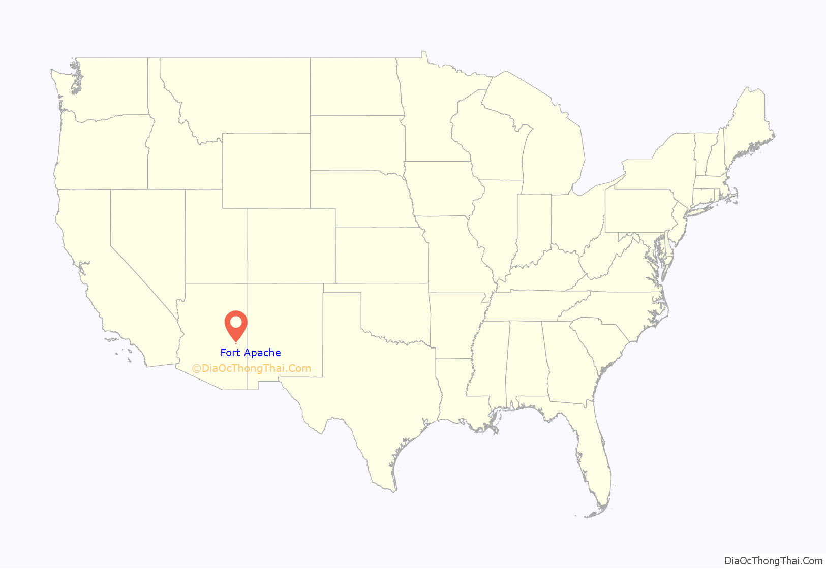
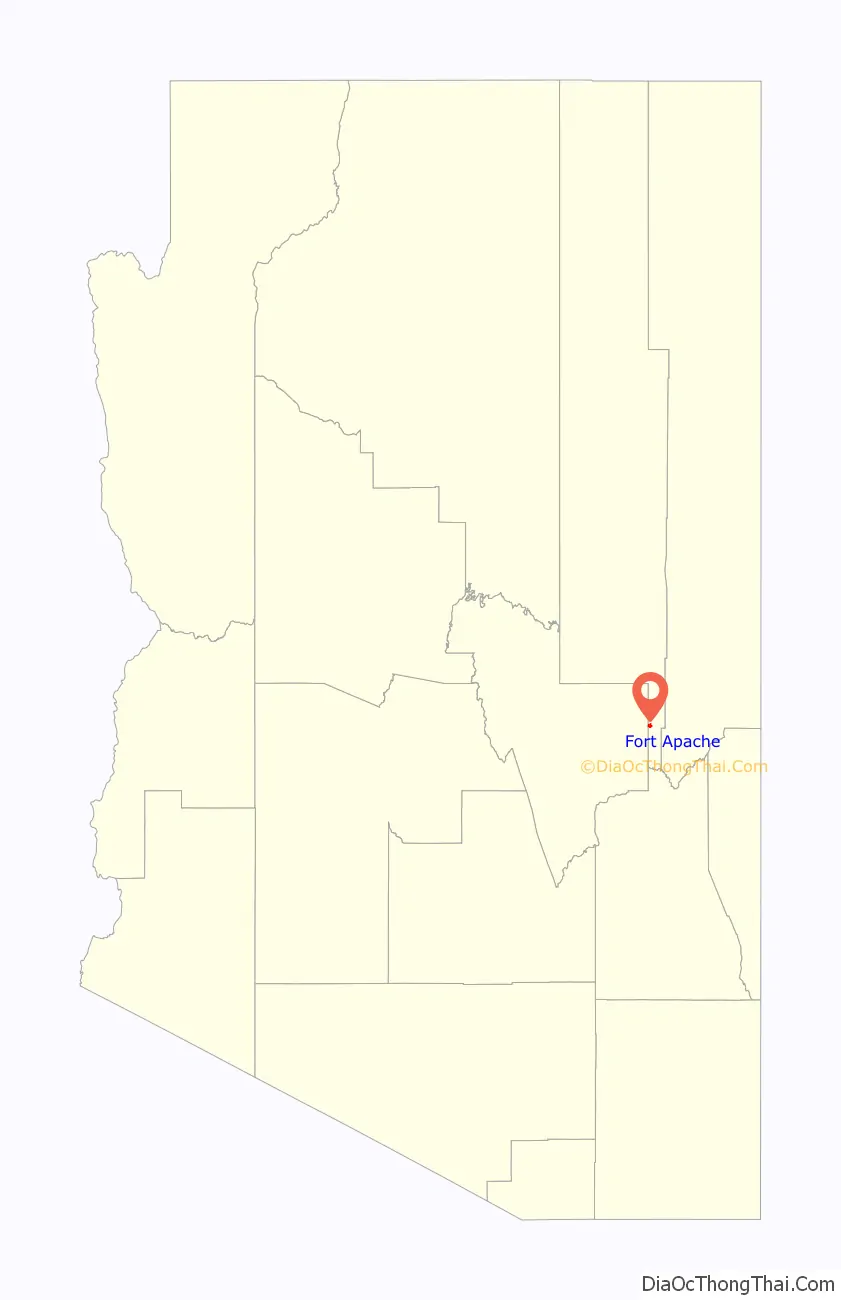
Fort Apache location map. Where is Fort Apache CDP?
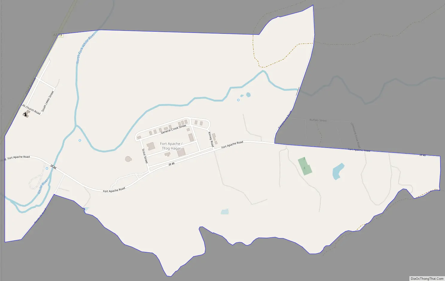
Fort Apache Road Map
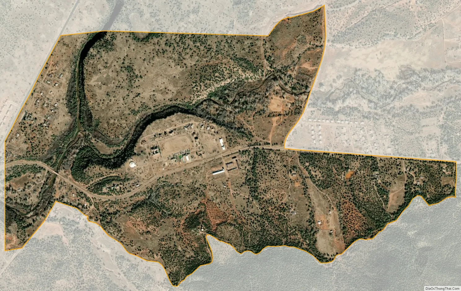
Fort Apache city Satellite Map
See also
Map of Arizona State and its subdivision: Map of other states:- Alabama
- Alaska
- Arizona
- Arkansas
- California
- Colorado
- Connecticut
- Delaware
- District of Columbia
- Florida
- Georgia
- Hawaii
- Idaho
- Illinois
- Indiana
- Iowa
- Kansas
- Kentucky
- Louisiana
- Maine
- Maryland
- Massachusetts
- Michigan
- Minnesota
- Mississippi
- Missouri
- Montana
- Nebraska
- Nevada
- New Hampshire
- New Jersey
- New Mexico
- New York
- North Carolina
- North Dakota
- Ohio
- Oklahoma
- Oregon
- Pennsylvania
- Rhode Island
- South Carolina
- South Dakota
- Tennessee
- Texas
- Utah
- Vermont
- Virginia
- Washington
- West Virginia
- Wisconsin
- Wyoming