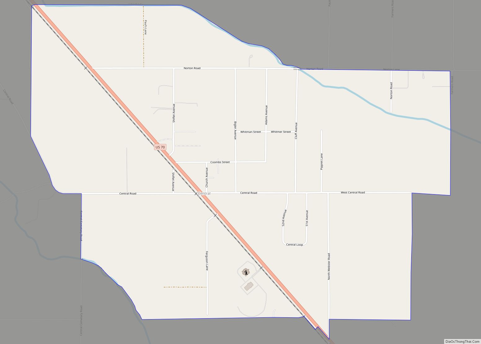
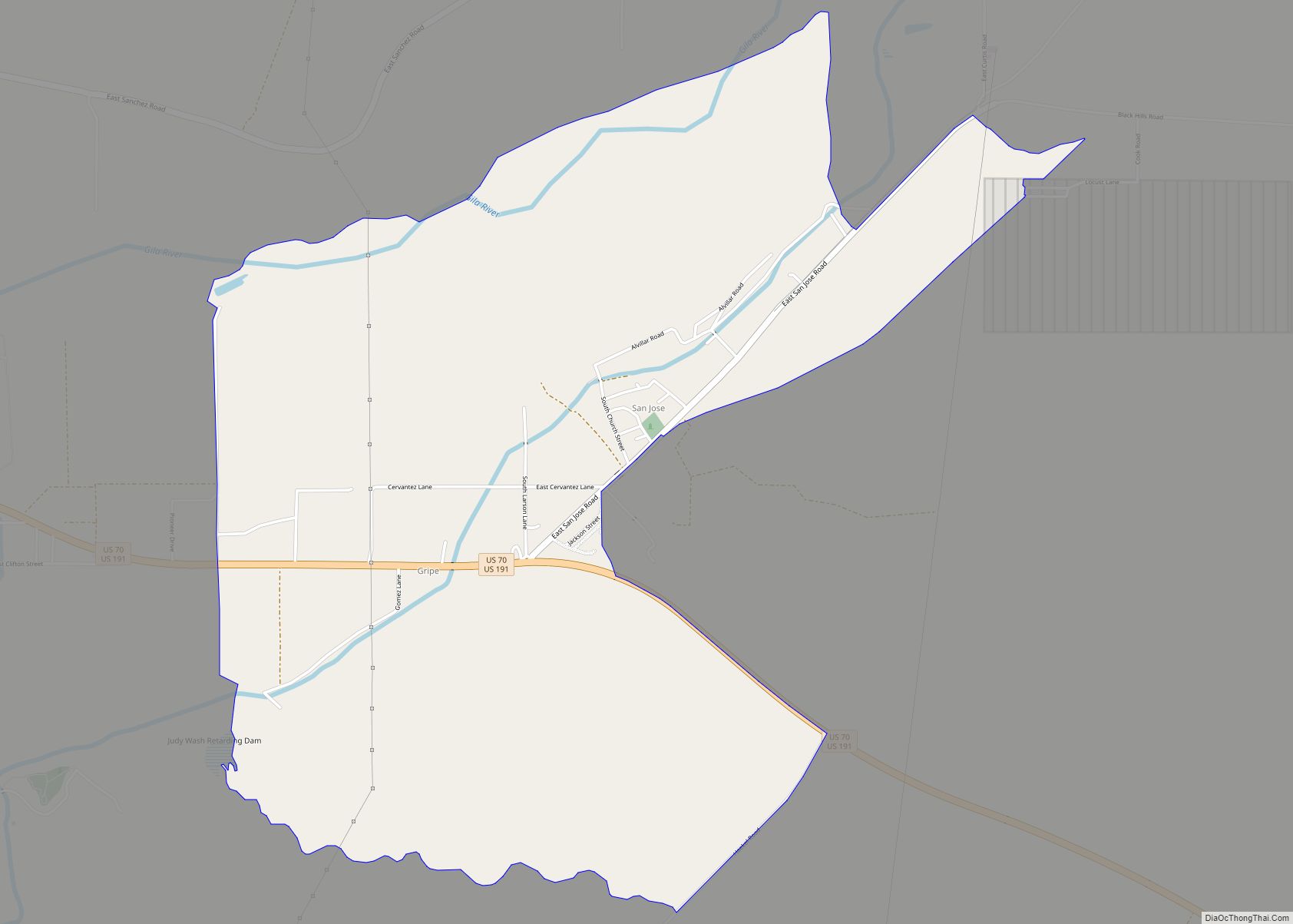
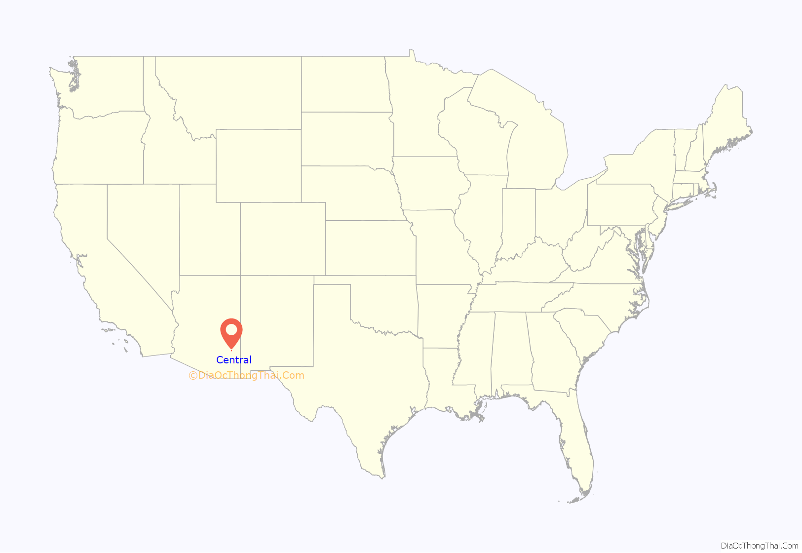
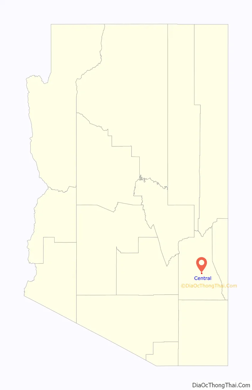
Central is a census-designated place in Graham County, Arizona, United States. Its population was 758 as of the 2020 census. It is part of the Safford micropolitan area.
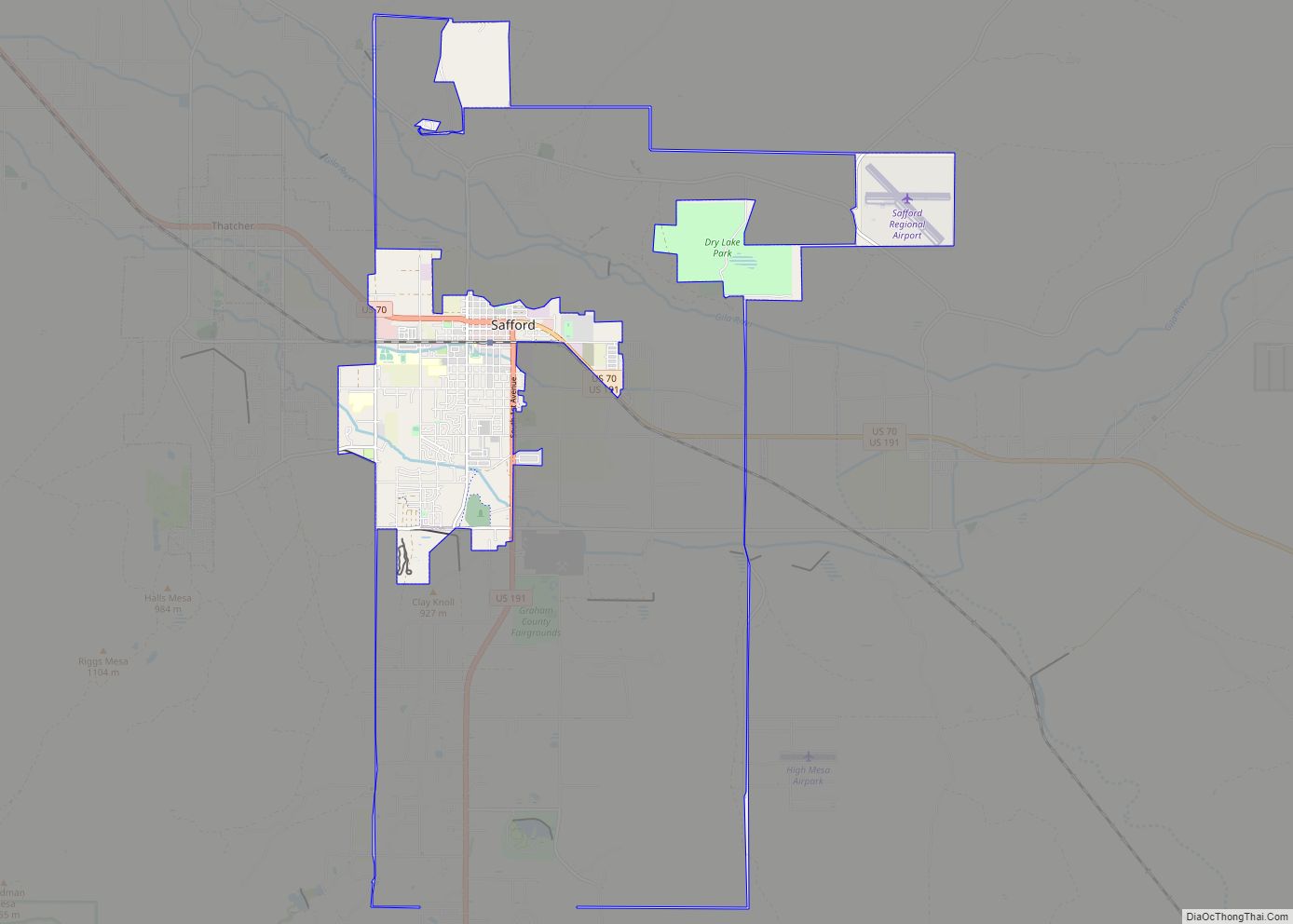
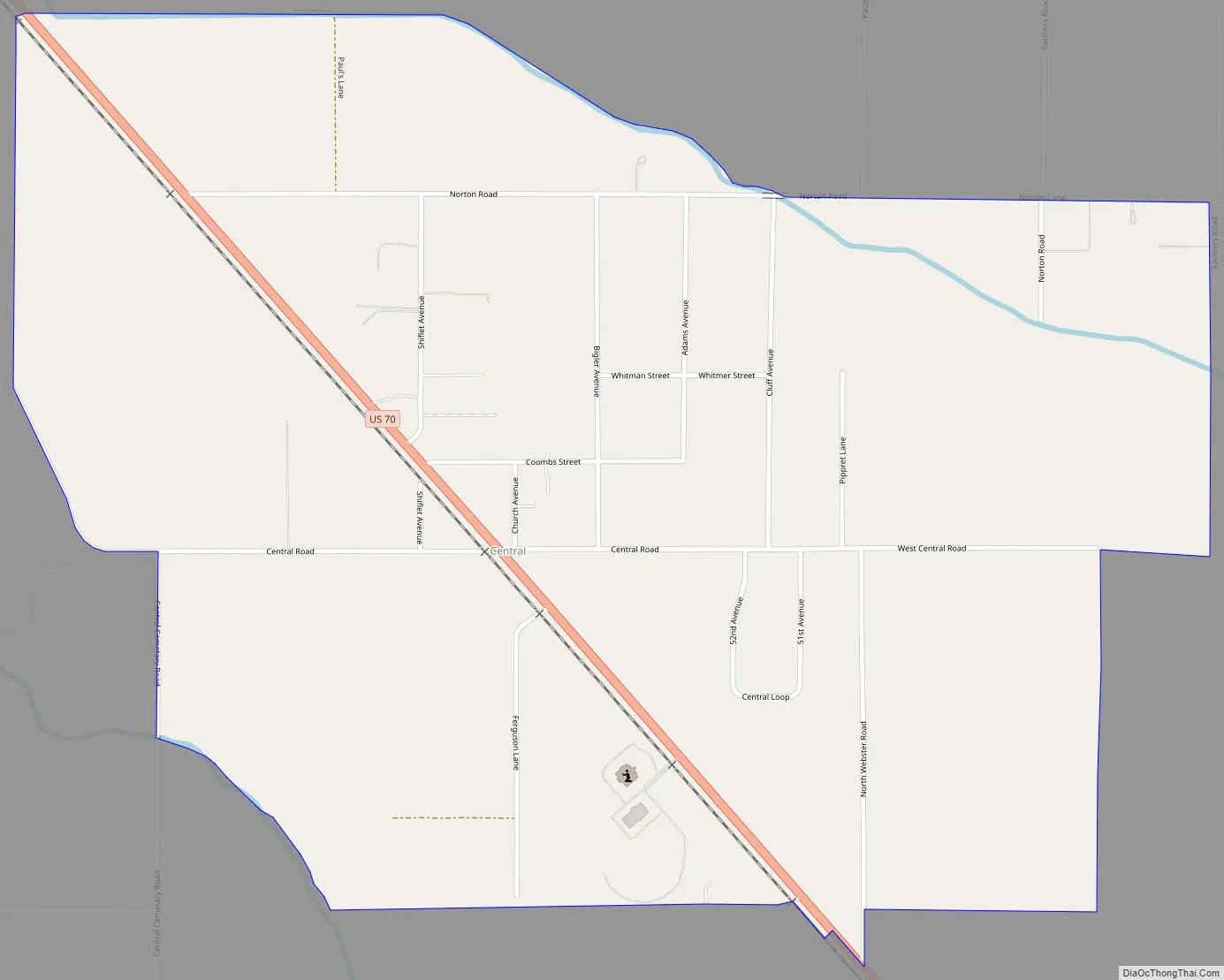
Central is located between the towns of Thatcher and Pima, all west of the Graham County seat, Safford. U.S. Route 70 is the main thoroughfare.
Central has a ZIP Code of 85531; in 2000, the population of the 85531 ZIP Code Tabulation Area was 404.
| Name: | Central CDP |
|---|---|
| LSAD Code: | 57 |
| LSAD Description: | CDP (suffix) |
| State: | Arizona |
| County: | Graham County |
| Elevation: | 2,884 ft (879 m) |
| Total Area: | 1.68 sq mi (4.34 km²) |
| Land Area: | 1.68 sq mi (4.34 km²) |
| Water Area: | 0.00 sq mi (0.00 km²) |
| Total Population: | 758 |
| Population Density: | 452.27/sq mi (174.62/km²) |
| ZIP code: | 85531 |
| Area code: | 928 |
| FIPS code: | 0411580 |
| GNISfeature ID: | 2693 |
Online Interactive Map
Click on ![]() to view map in "full screen" mode.
to view map in "full screen" mode.
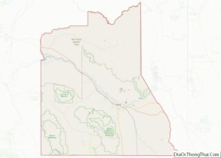
Central location map. Where is Central CDP?
History
Central was first homesteaded by the Cluff family in 1880. The Cluffs extended the Central Canal to their lands on the eastern side of Central. Later settlers extended the canal west and north. In 1883 construction began on a one-room white rock building to be used as a church meeting house and school house. By 1884 twenty families, including Cluff, Norton, Shurtz, Bigler, and Webster households resided in Central. In 1978 the streets were named after these early Mormon pioneers. In December 1883 the Central Ward of the Church of Jesus Christ of Latter-day Saints was organized and Joseph Cluff was ordained the first bishop. A new red brick church was built in 1885. It was the first regular meeting house built in this part of Arizona and was also the first home of the LDS Academy from December 1890 to May 1891. A plaque east of Hwy 70 on Central Road commemorates the original home of the St. Joseph Stake Academy that later moved to Thatcher and became Eastern Arizona College.
In 1894, LDS Church historian Andrew Jensen reported on the Central Ward: “Thirty-five families or 178 souls, constitute the Mormon population, and there are only two other families in the district. Central excels in point of large orchards, extensive alfalfa fields and good grain. The meeting house is the only public building in the settlement, in which there is also a small store and a post office. There are a number of fine and comfortable private residences, built mostly of brick and adobe.”
A railroad through Central was completed in 1896. The head of the Central Canal washed out in 1905. Since then, the Smithville and Union Canals have been used exclusively.
Central’s population was estimated as 100 in the 1960 census.
The Gila Valley Arizona Temple of The Church of Jesus Christ of Latter-day Saints, opened in 2010, is located in Central. The temple is the third LDS temple built in Arizona and the first temple announced by Thomas S. Monson after being sustained as President of the Church in 2008. Monson dedicated the temple on May 23, 2010.
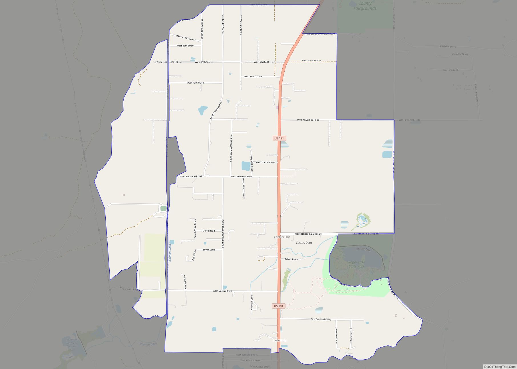
Central Road Map
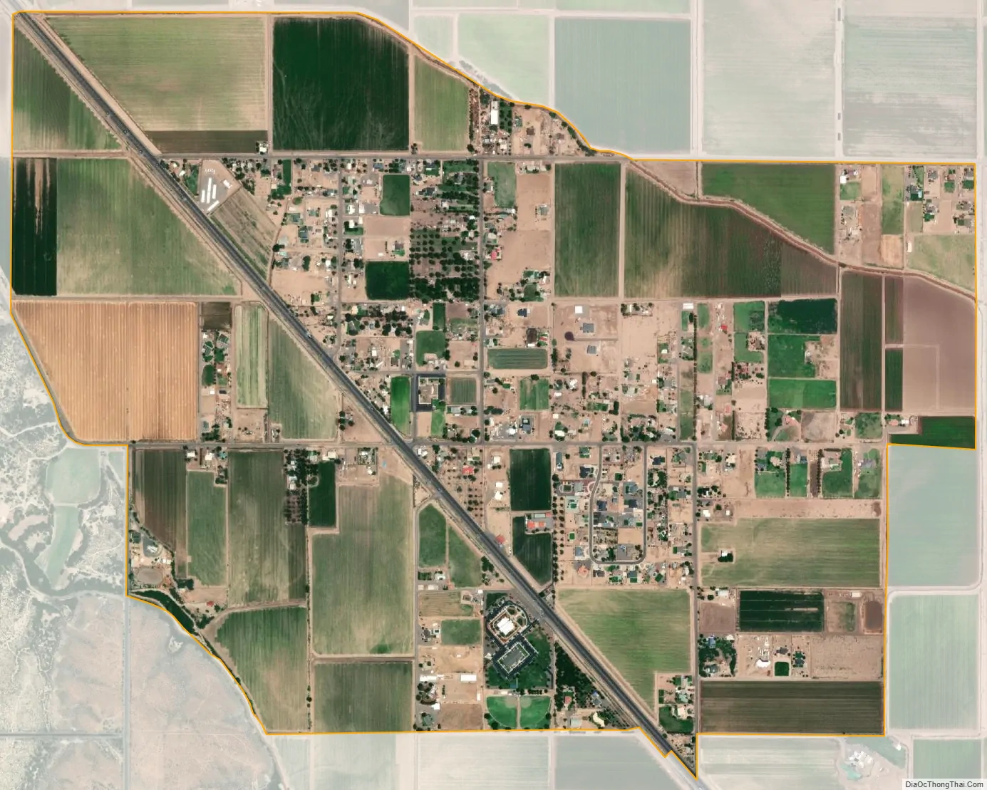
Central city Satellite Map
Geography
Central is at 32°52′13″N 109°47′35″W / 32.87028°N 109.79306°W / 32.87028; -109.79306, at an elevation of approximately 2900 feet above sea level. From this location just south of the Gila River within the Upper Gila Valley, Mount Graham of the Pinaleño (Pinaleno Mountains) range dominates the southern skyline.
See also
Map of Arizona State and its subdivision: Map of other states:- Alabama
- Alaska
- Arizona
- Arkansas
- California
- Colorado
- Connecticut
- Delaware
- District of Columbia
- Florida
- Georgia
- Hawaii
- Idaho
- Illinois
- Indiana
- Iowa
- Kansas
- Kentucky
- Louisiana
- Maine
- Maryland
- Massachusetts
- Michigan
- Minnesota
- Mississippi
- Missouri
- Montana
- Nebraska
- Nevada
- New Hampshire
- New Jersey
- New Mexico
- New York
- North Carolina
- North Dakota
- Ohio
- Oklahoma
- Oregon
- Pennsylvania
- Rhode Island
- South Carolina
- South Dakota
- Tennessee
- Texas
- Utah
- Vermont
- Virginia
- Washington
- West Virginia
- Wisconsin
- Wyoming