Christopher Creek is a census-designated place in northern Gila County in the U.S. state of Arizona. Situated at the base of the Mogollon Rim, the community lies at an elevation of 5,961 feet (1,817 m), and is located approximately 23.5 miles (37.82 km) northeast of Payson, just off SR 260. The population as of the 2010 U.S. Census was 156.
Tourism, retirement and timbering are the foundations of Christopher Creek’s economy.
| Name: | Christopher Creek CDP |
|---|---|
| LSAD Code: | 57 |
| LSAD Description: | CDP (suffix) |
| State: | Arizona |
| County: | Gila County |
| Elevation: | 5,961 ft (1,817 m) |
| Total Area: | 3.14 sq mi (8.13 km²) |
| Land Area: | 3.14 sq mi (8.13 km²) |
| Water Area: | 0.00 sq mi (0.00 km²) |
| Total Population: | 121 |
| Population Density: | 38.55/sq mi (14.88/km²) |
| ZIP code: | 85541 |
| Area code: | 928 |
| FIPS code: | 0413140 |
Online Interactive Map
Click on ![]() to view map in "full screen" mode.
to view map in "full screen" mode.
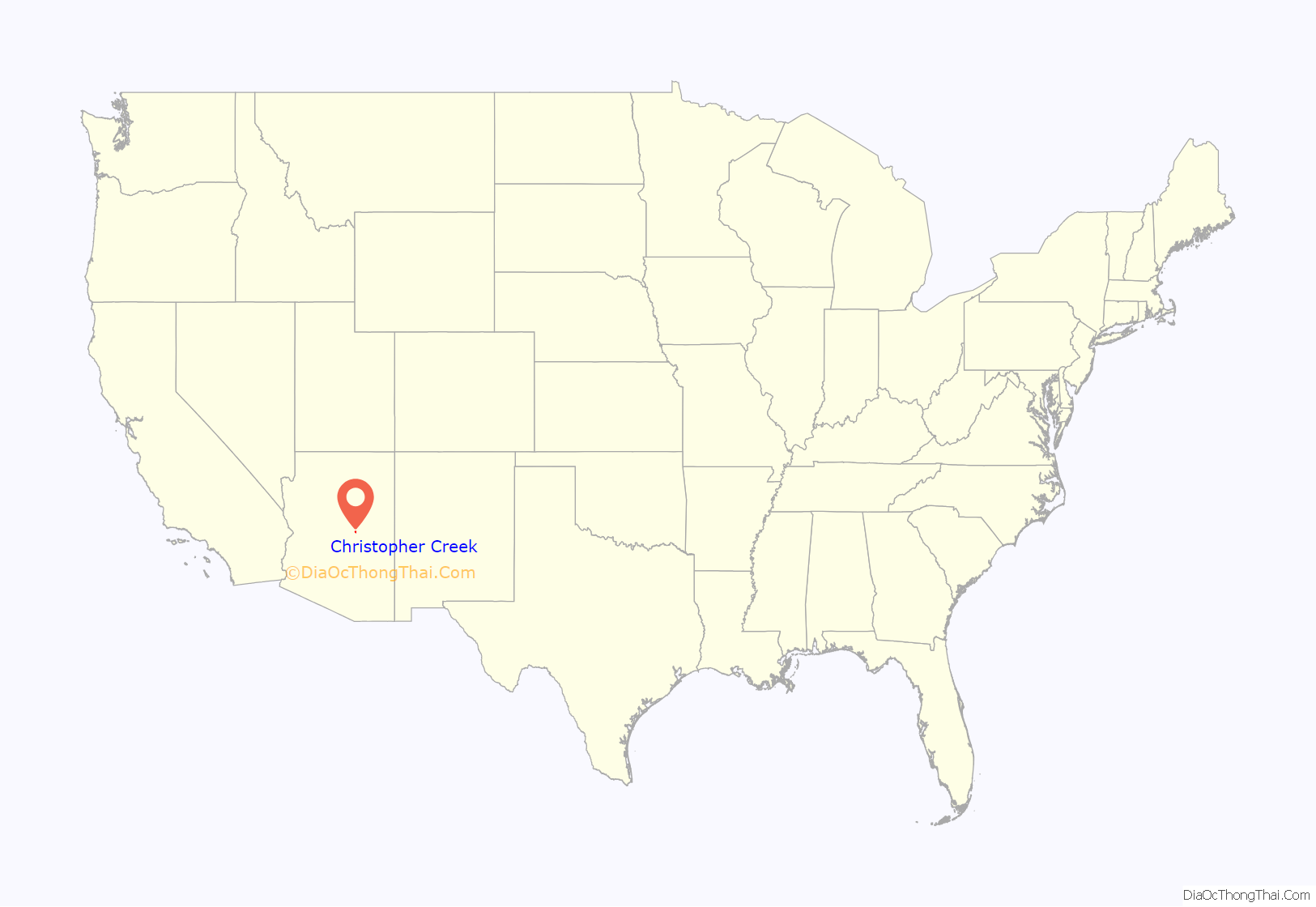
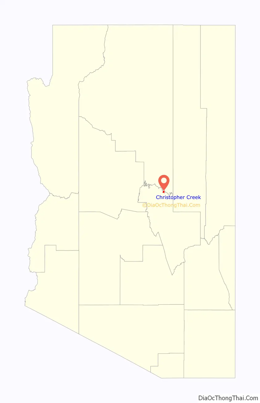
Christopher Creek location map. Where is Christopher Creek CDP?
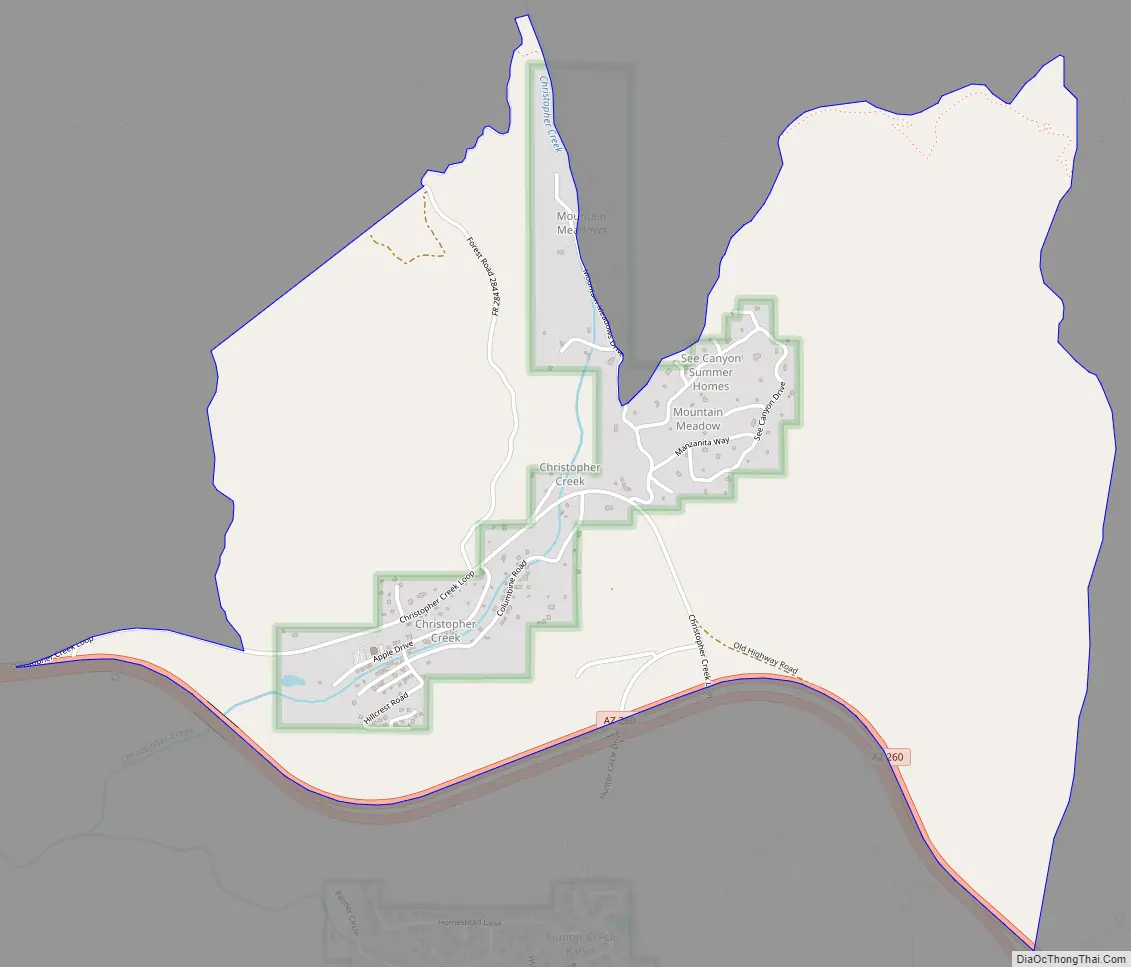
Christopher Creek Road Map
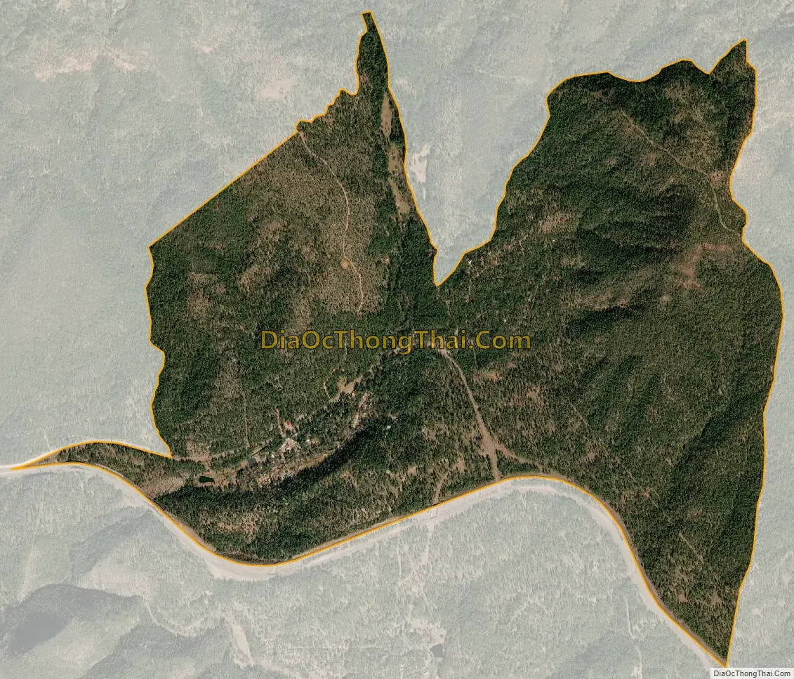
Christopher Creek city Satellite Map
See also
Map of Arizona State and its subdivision: Map of other states:- Alabama
- Alaska
- Arizona
- Arkansas
- California
- Colorado
- Connecticut
- Delaware
- District of Columbia
- Florida
- Georgia
- Hawaii
- Idaho
- Illinois
- Indiana
- Iowa
- Kansas
- Kentucky
- Louisiana
- Maine
- Maryland
- Massachusetts
- Michigan
- Minnesota
- Mississippi
- Missouri
- Montana
- Nebraska
- Nevada
- New Hampshire
- New Jersey
- New Mexico
- New York
- North Carolina
- North Dakota
- Ohio
- Oklahoma
- Oregon
- Pennsylvania
- Rhode Island
- South Carolina
- South Dakota
- Tennessee
- Texas
- Utah
- Vermont
- Virginia
- Washington
- West Virginia
- Wisconsin
- Wyoming


