Dateland is both a CDP and a populated place in Yuma County, Arizona, United States. It is in an area well known for date palm dates.
Dateland has the ZIP Code of 85333; in 2000, the population of the 85333 ZCTA was 852.
The community is part of the Yuma Metropolitan Statistical Area.
The Dateland Food Court is home to the self-proclaimed “World Famous Date Shakes.”
| Name: | Dateland CDP |
|---|---|
| LSAD Code: | 57 |
| LSAD Description: | CDP (suffix) |
| State: | Arizona |
| County: | Yuma County |
| Elevation: | 436 ft (133 m) |
| Total Area: | 21.95 sq mi (56.86 km²) |
| Land Area: | 21.95 sq mi (56.86 km²) |
| Water Area: | 0.00 sq mi (0.00 km²) |
| Total Population: | 257 |
| Population Density: | 11.71/sq mi (4.52/km²) |
| ZIP code: | 85333 |
| FIPS code: | 0418160 |
| GNISfeature ID: | 2582769 |
Online Interactive Map
Click on ![]() to view map in "full screen" mode.
to view map in "full screen" mode.
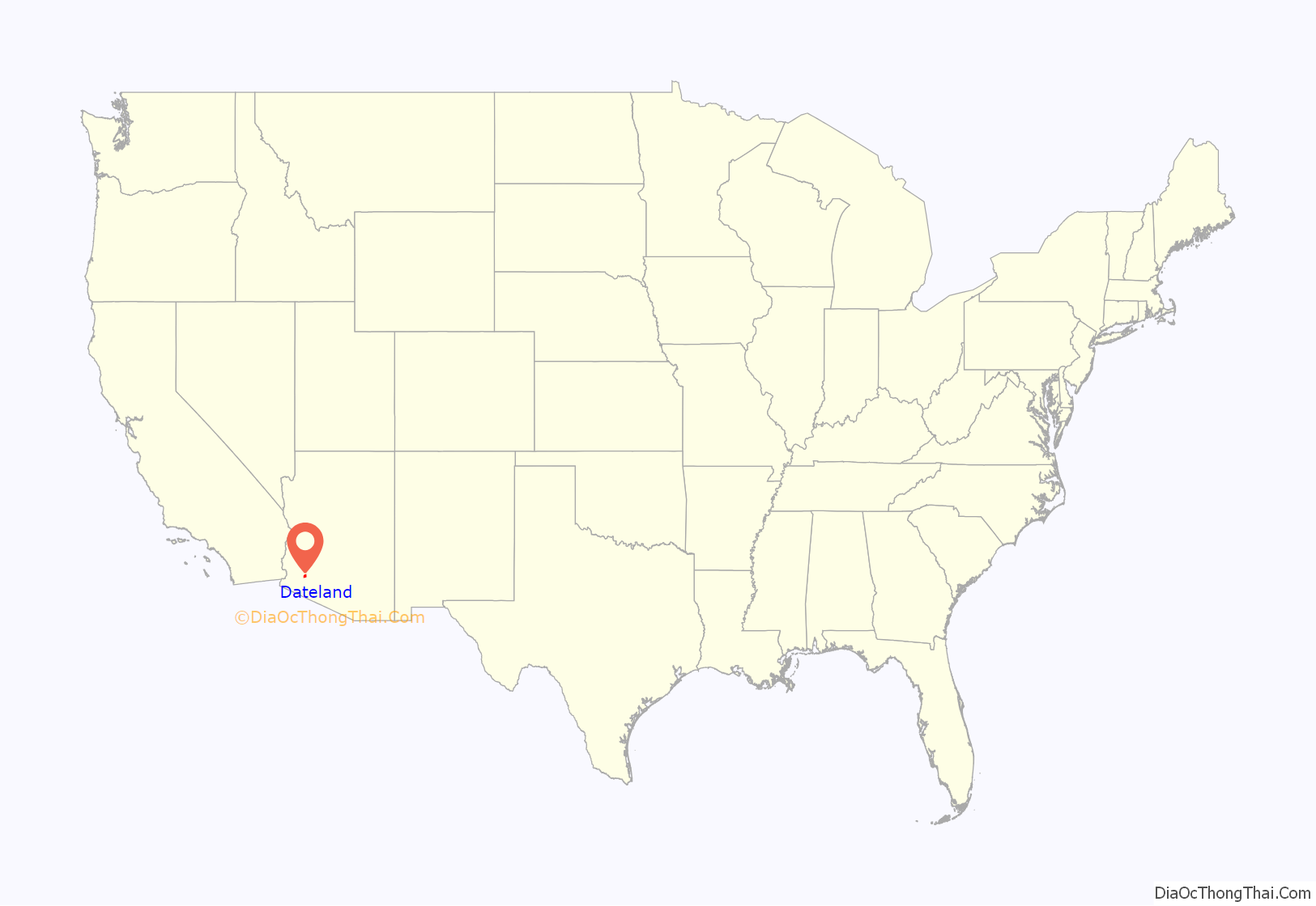
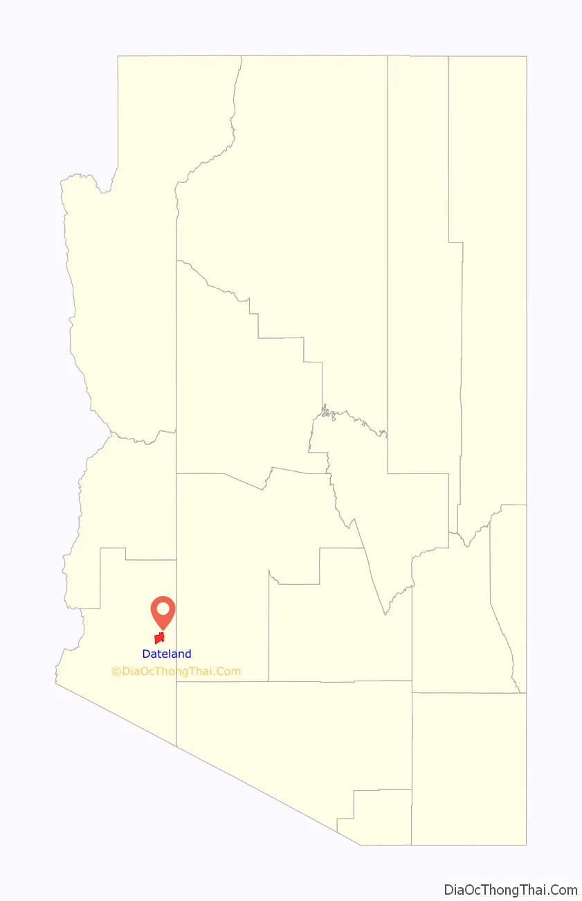
Dateland location map. Where is Dateland CDP?
History
Dateland began as a road stop in the 1920s. During World War II, Dateland was home to Dateland Air Force Auxiliary Field. After the closure of the airfield, the land was subdivided in the 1970s. The developers of one subdivision on the former airfield, El Camino Del Sol, were convicted of fraud in 1977. Most of Dateland consists of undeveloped lots.
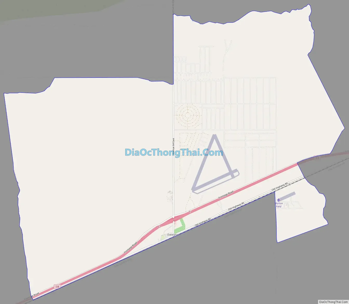
Dateland Road Map
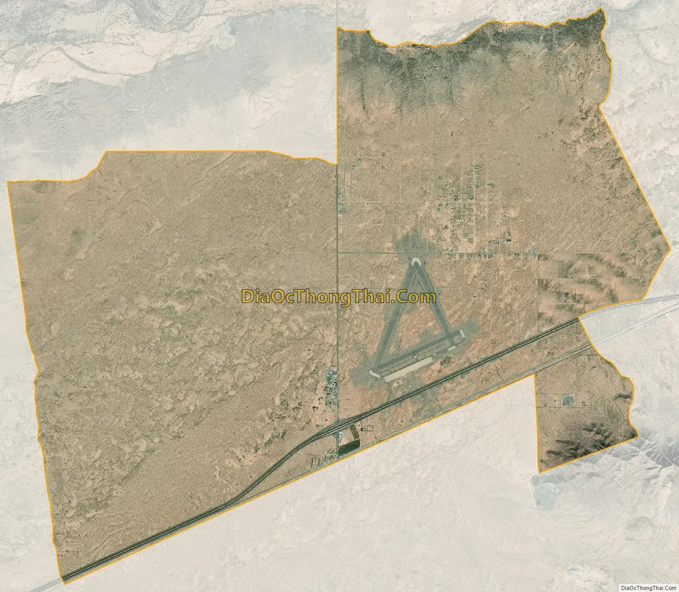
Dateland city Satellite Map
See also
Map of Arizona State and its subdivision: Map of other states:- Alabama
- Alaska
- Arizona
- Arkansas
- California
- Colorado
- Connecticut
- Delaware
- District of Columbia
- Florida
- Georgia
- Hawaii
- Idaho
- Illinois
- Indiana
- Iowa
- Kansas
- Kentucky
- Louisiana
- Maine
- Maryland
- Massachusetts
- Michigan
- Minnesota
- Mississippi
- Missouri
- Montana
- Nebraska
- Nevada
- New Hampshire
- New Jersey
- New Mexico
- New York
- North Carolina
- North Dakota
- Ohio
- Oklahoma
- Oregon
- Pennsylvania
- Rhode Island
- South Carolina
- South Dakota
- Tennessee
- Texas
- Utah
- Vermont
- Virginia
- Washington
- West Virginia
- Wisconsin
- Wyoming


