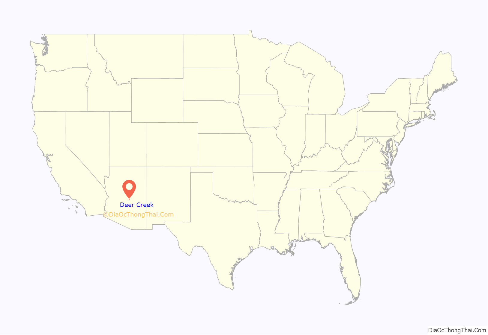
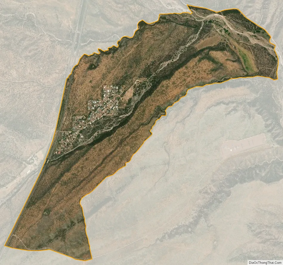
Deer Creek is a census-designated place in Gila County in the U.S. state of Arizona. Deer Creek is located almost directly between the community of Tonto Basin and the town of Payson near Arizona State Route 87. The population as of the 2010 U.S. Census was 216.
| Name: | Deer Creek CDP |
|---|---|
| LSAD Code: | 57 |
| LSAD Description: | CDP (suffix) |
| State: | Arizona |
| County: | Gila County |
| Elevation: | 3,025 ft (922 m) |
| Total Area: | 1.83 sq mi (4.74 km²) |
| Land Area: | 1.83 sq mi (4.74 km²) |
| Water Area: | 0.00 sq mi (0.00 km²) |
| Total Population: | 230 |
| Population Density: | 125.75/sq mi (48.55/km²) |
| ZIP code: | 85541 |
| Area code: | 928 |
| FIPS code: | 0418448 |
| GNISfeature ID: | 2582770 |
Online Interactive Map
Click on ![]() to view map in "full screen" mode.
to view map in "full screen" mode.
Deer Creek location map. Where is Deer Creek CDP?
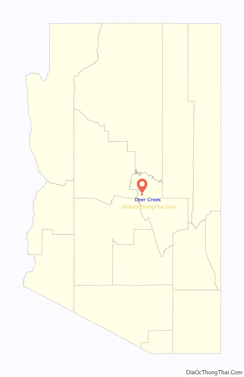
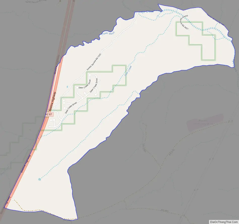
Deer Creek Road Map
Deer Creek city Satellite Map
Geography
Deer Creek is located at 34°03′44″N 111°20′58″W / 34.062342°N 111.349481°W / 34.062342; -111.349481.
According to the U.S. Census Bureau, the community has an area of 1.744 square miles (4.52 km), all land.
There is an actual creek by the name of Deer Creek, which when not dry, flows by this Village of Deer Creek. The remains of David Gowan, a well-known pioneer, were buried just where they were found beside the North Fork of Deer Creek, close to Bars Canyon. . Today, the grave site is marked and preserved. (There is a different Deer Creek in the Grand Canyon which flows into the Colorado River.)
See also
Map of Arizona State and its subdivision: Map of other states:- Alabama
- Alaska
- Arizona
- Arkansas
- California
- Colorado
- Connecticut
- Delaware
- District of Columbia
- Florida
- Georgia
- Hawaii
- Idaho
- Illinois
- Indiana
- Iowa
- Kansas
- Kentucky
- Louisiana
- Maine
- Maryland
- Massachusetts
- Michigan
- Minnesota
- Mississippi
- Missouri
- Montana
- Nebraska
- Nevada
- New Hampshire
- New Jersey
- New Mexico
- New York
- North Carolina
- North Dakota
- Ohio
- Oklahoma
- Oregon
- Pennsylvania
- Rhode Island
- South Carolina
- South Dakota
- Tennessee
- Texas
- Utah
- Vermont
- Virginia
- Washington
- West Virginia
- Wisconsin
- Wyoming


