Drexel Heights is an unincorporated community and census-designated place (CDP) in Pima County, Arizona, United States. The population was 27,749 at the 2010 census.
The area is said to be named after financier Francis Anthony Drexel, the father of Saint Katharine Drexel (who established missions to Blacks and Native Americans throughout the United States). Drexel is said to have owned property in the Drexel Heights area and eastward during the late 19th century, although no proof has ever been found that he owned land in the area. Francis A. Drexel died in 1885.
In an article in the Arizona Daily Star newspaper, on March 4, 2014, historian David Leighton stated that Drexel Road was named after Katharine Drexel, and that her father Francis A. Drexel didn’t own land in the area as has been claimed in the past. While Mr. Leighton, didn’t directly state that Drexel Heights was named in honor of Saint Katharine Drexel, it is implied in his statement that it is named in her honor.
| Name: | Drexel Heights CDP |
|---|---|
| LSAD Code: | 57 |
| LSAD Description: | CDP (suffix) |
| State: | Arizona |
| County: | Pima County |
| Elevation: | 2,526 ft (770 m) |
| Total Area: | 19.25 sq mi (49.85 km²) |
| Land Area: | 19.25 sq mi (49.85 km²) |
| Water Area: | 0.00 sq mi (0.00 km²) |
| Total Population: | 27,523 |
| Population Density: | 1,429.99/sq mi (552.13/km²) |
| FIPS code: | 0420540 |
| GNISfeature ID: | 0025237 |
Online Interactive Map
Click on ![]() to view map in "full screen" mode.
to view map in "full screen" mode.
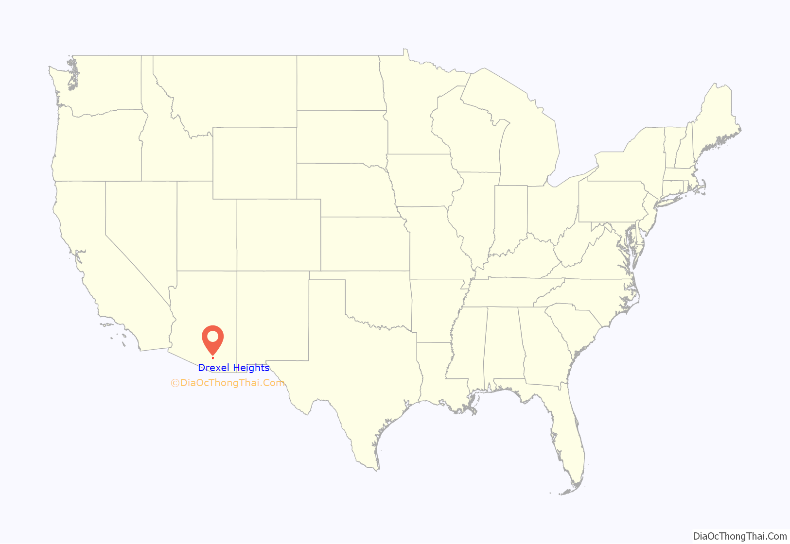
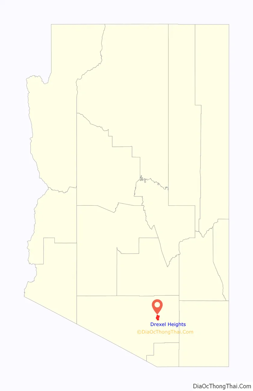
Drexel Heights location map. Where is Drexel Heights CDP?
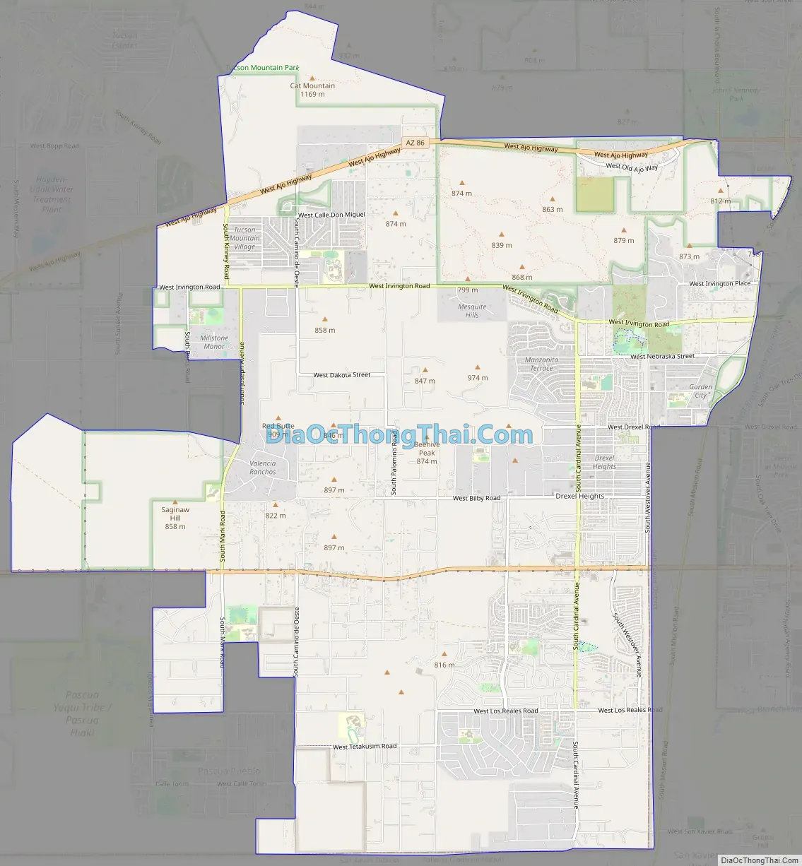
Drexel Heights Road Map
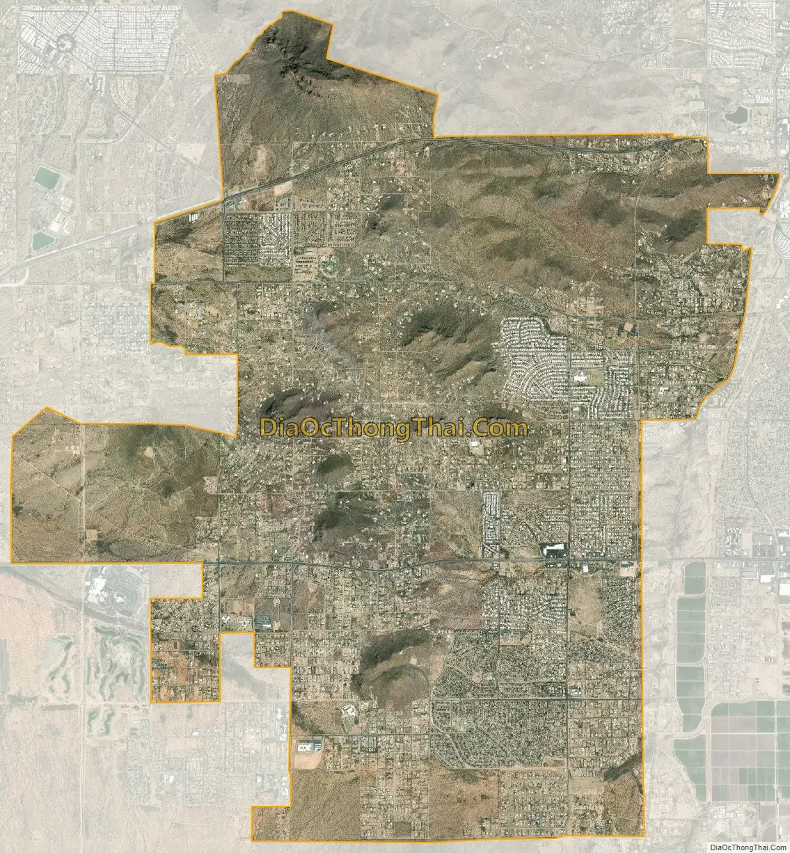
Drexel Heights city Satellite Map
Geography
Drexel Heights is located at 32°8′20″N 111°2′38″W / 32.13889°N 111.04389°W / 32.13889; -111.04389 (32.138989, -111.043926).
According to the United States Census Bureau, the CDP has a total area of 19.7 square miles (51 km), all land.
The area has numerous Saguaro cacti, and is positioned only a couple of miles south of the Saguaro National Park. The northern boundary of Drexel Heights is the Tucson Mountain Park. It is cut off from the rest of Tucson due to the topography of the Tucson Mountains, which are only crossed via a small number of roads: Ajo Highway is the main crossing, with Gates Pass providing a more scenic route. Coyotes and Javalinas are commonly sighted in the area.
See also
Map of Arizona State and its subdivision: Map of other states:- Alabama
- Alaska
- Arizona
- Arkansas
- California
- Colorado
- Connecticut
- Delaware
- District of Columbia
- Florida
- Georgia
- Hawaii
- Idaho
- Illinois
- Indiana
- Iowa
- Kansas
- Kentucky
- Louisiana
- Maine
- Maryland
- Massachusetts
- Michigan
- Minnesota
- Mississippi
- Missouri
- Montana
- Nebraska
- Nevada
- New Hampshire
- New Jersey
- New Mexico
- New York
- North Carolina
- North Dakota
- Ohio
- Oklahoma
- Oregon
- Pennsylvania
- Rhode Island
- South Carolina
- South Dakota
- Tennessee
- Texas
- Utah
- Vermont
- Virginia
- Washington
- West Virginia
- Wisconsin
- Wyoming


