Elgin is a census-designated place (CDP) in Santa Cruz County, Arizona, United States. The population was 161 at the 2010 census.
| Name: | Elgin CDP |
|---|---|
| LSAD Code: | 57 |
| LSAD Description: | CDP (suffix) |
| State: | Arizona |
| County: | Santa Cruz County |
| Elevation: | 4,728 ft (1,441 m) |
| Total Area: | 5.95 sq mi (15.41 km²) |
| Land Area: | 5.95 sq mi (15.40 km²) |
| Water Area: | 0.00 sq mi (0.00 km²) |
| Total Population: | 162 |
| Population Density: | 27.24/sq mi (10.52/km²) |
| ZIP code: | 85611 |
| Area code: | 520 |
| FIPS code: | 0422150 |
| GNISfeature ID: | 28852 |
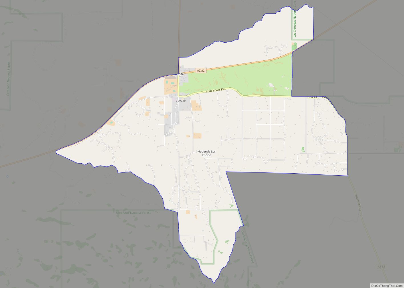
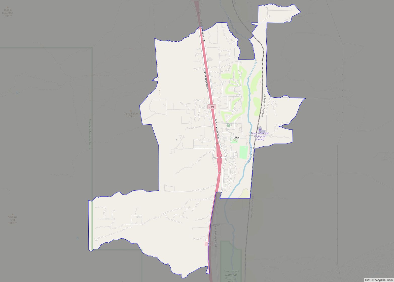
Online Interactive Map
Click on ![]() to view map in "full screen" mode.
to view map in "full screen" mode.
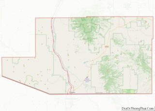
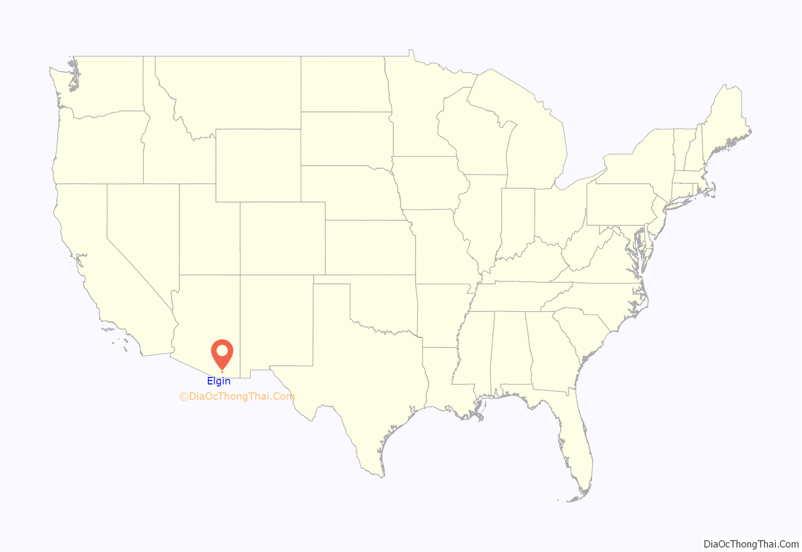
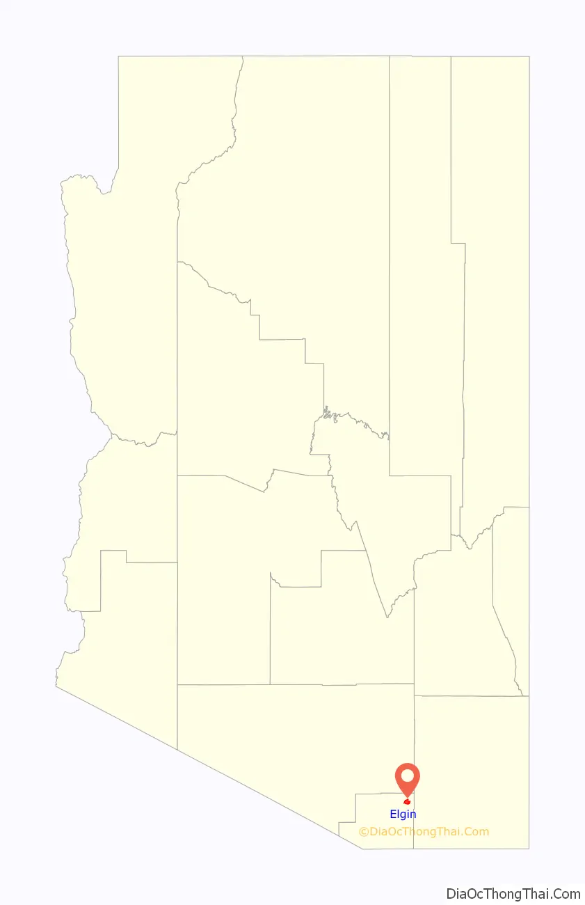
Elgin location map. Where is Elgin CDP?
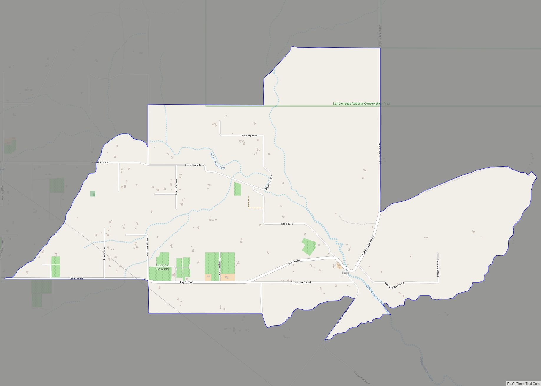
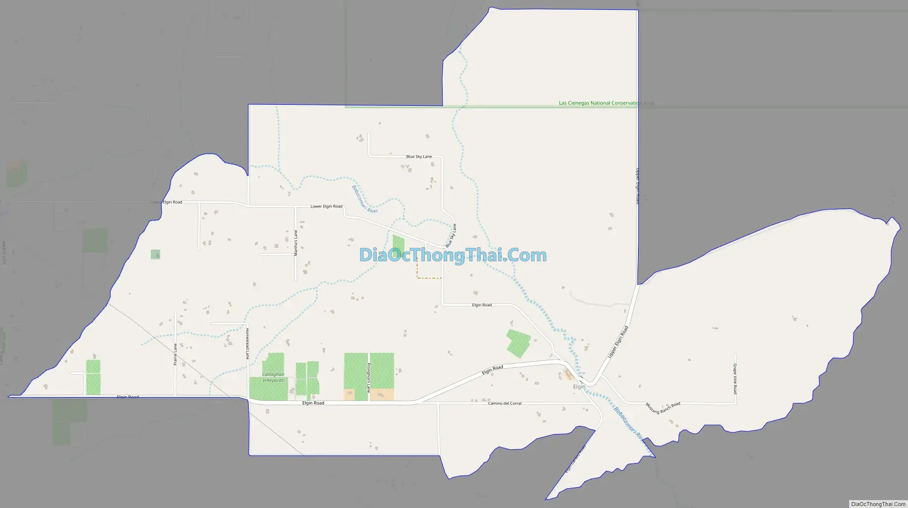
Elgin Road Map
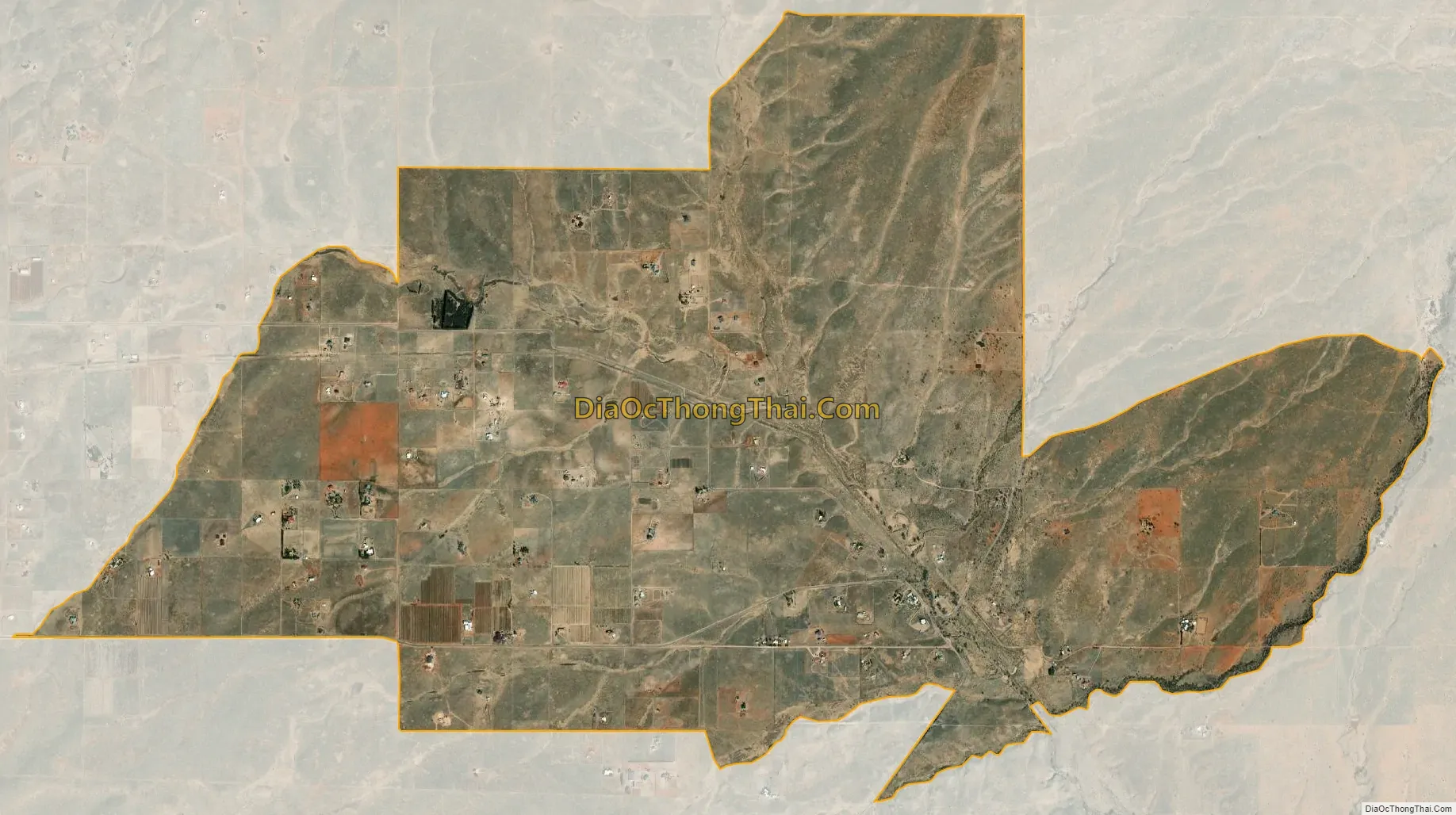
Elgin city Satellite Map
Geography
Elgin is located along the Babocomari River at 31°37′45″N 110°34′19″W / 31.62917°N 110.57194°W / 31.62917; -110.57194 (31.629095, -110.571951). The Babocomari is known to harbor a unique species of fish, belonging to the family Characidae. They are incredibly rare and little is known about them. According to the United States Census Bureau, the CDP has a total area of 5.9 square miles (15.4 km), all land.
Climate
According to the Köppen Climate Classification system, Elgin has a semi-arid climate, abbreviated “BSk” on climate maps.
See also
Map of Arizona State and its subdivision: Map of other states:- Alabama
- Alaska
- Arizona
- Arkansas
- California
- Colorado
- Connecticut
- Delaware
- District of Columbia
- Florida
- Georgia
- Hawaii
- Idaho
- Illinois
- Indiana
- Iowa
- Kansas
- Kentucky
- Louisiana
- Maine
- Maryland
- Massachusetts
- Michigan
- Minnesota
- Mississippi
- Missouri
- Montana
- Nebraska
- Nevada
- New Hampshire
- New Jersey
- New Mexico
- New York
- North Carolina
- North Dakota
- Ohio
- Oklahoma
- Oregon
- Pennsylvania
- Rhode Island
- South Carolina
- South Dakota
- Tennessee
- Texas
- Utah
- Vermont
- Virginia
- Washington
- West Virginia
- Wisconsin
- Wyoming