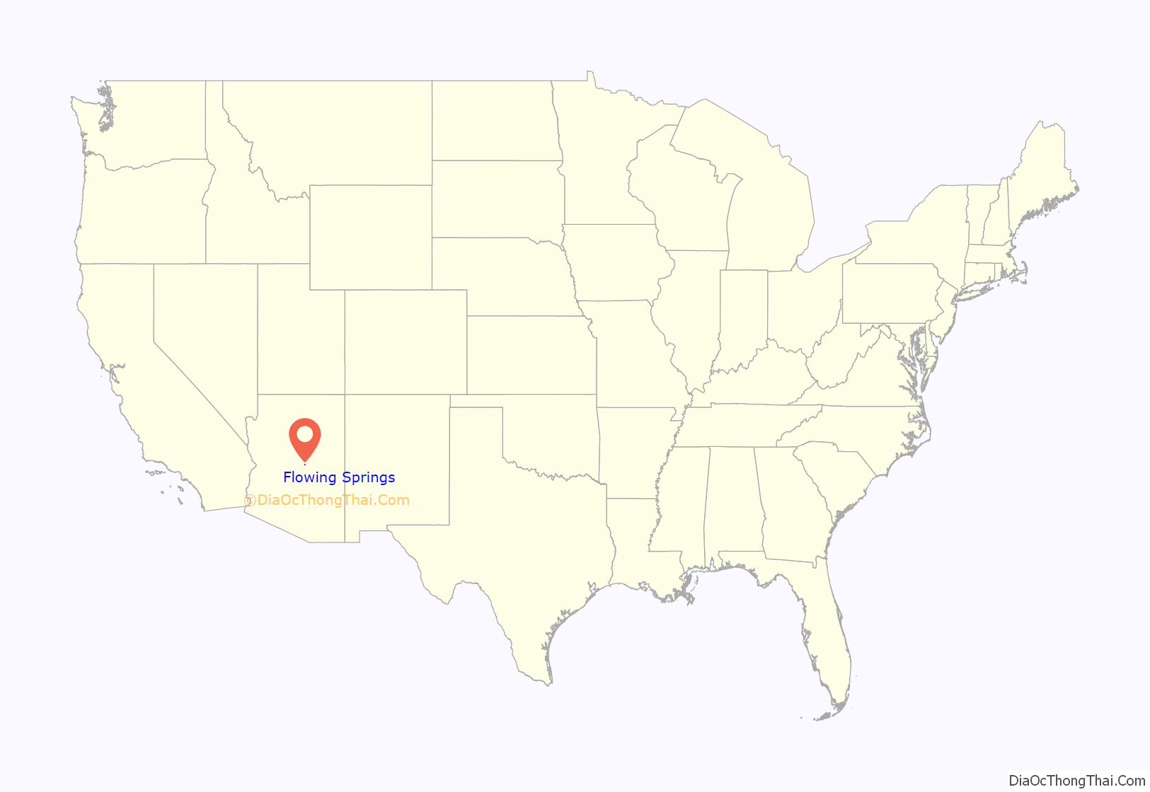
Flowing Springs is a census-designated place in Gila County in the U.S. state of Arizona. Flowing Springs is located approximately eight miles north of the town of Payson. The population was 34 at the 2020 census, down from 42 at the 2010 census.
| Name: | Flowing Springs CDP |
|---|---|
| LSAD Code: | 57 |
| LSAD Description: | CDP (suffix) |
| State: | Arizona |
| County: | Gila County |
| Elevation: | 4,606 ft (1,404 m) |
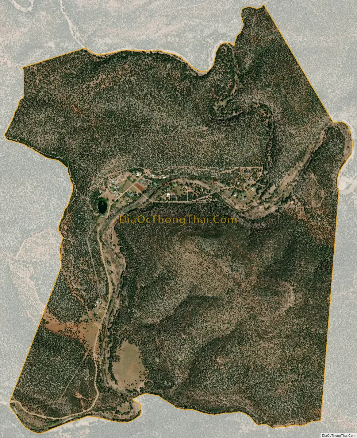
| Total Area: | 1.71 sq mi (4.43 km²) |
| Land Area: | 1.71 sq mi (4.42 km²) |
| Water Area: | 0.00 sq mi (0.01 km²) |
| Total Population: | 34 |
| Population Density: | 19.92/sq mi (7.69/km²) |
| ZIP code: | 85541 |
| Area code: | 928 |
| FIPS code: | 0423955 |
| GNISfeature ID: | 40834 |
Online Interactive Map
Click on ![]() to view map in "full screen" mode.
to view map in "full screen" mode.
Flowing Springs location map. Where is Flowing Springs CDP?
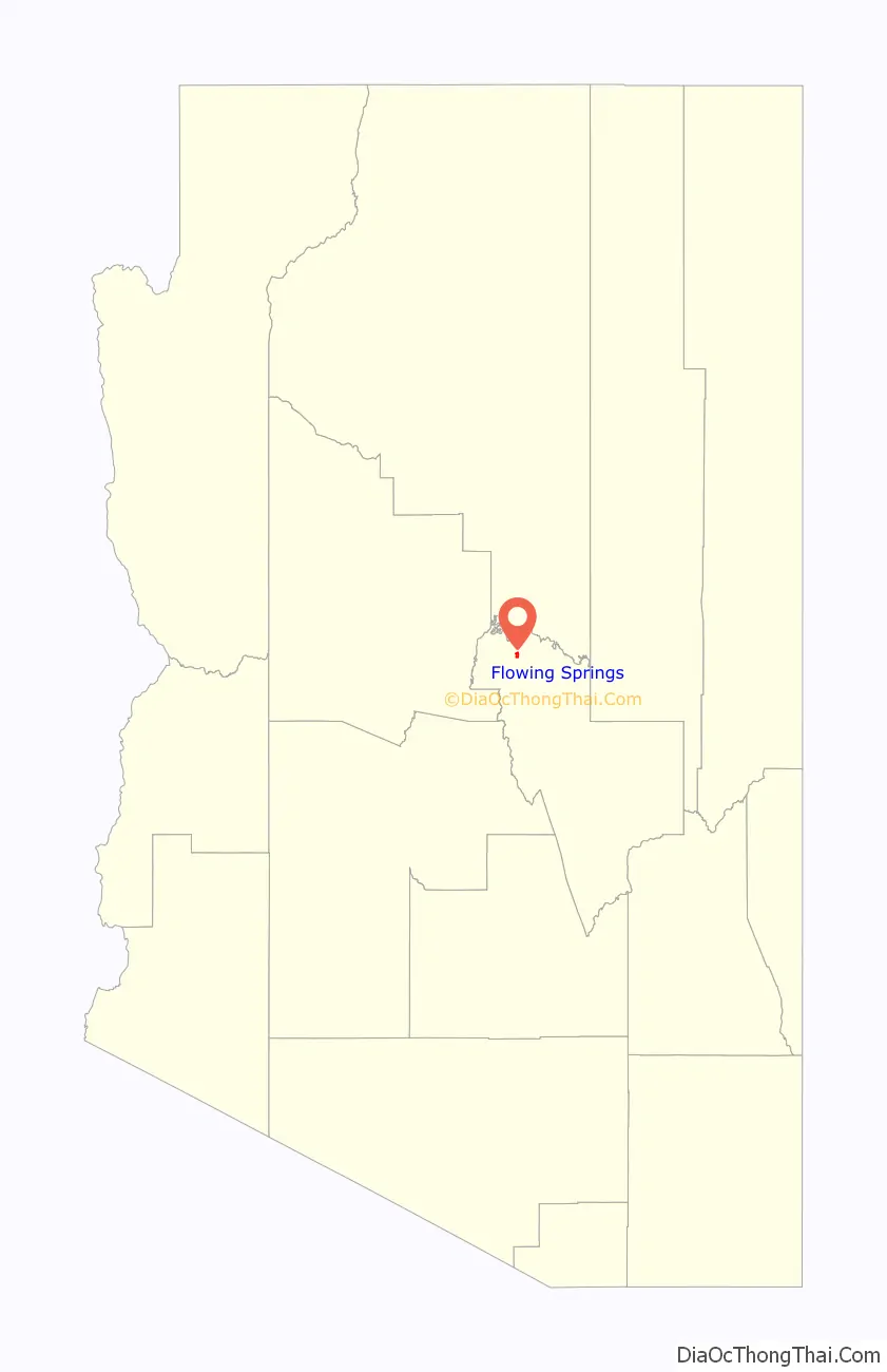
Flowing Springs Road Map

Flowing Springs city Satellite Map
Geography
Flowing Springs is located at 34°18′33″N 111°20′05″W / 34.309304°N 111.334731°W / 34.309304; -111.334731.
The community has an area of 1.709 square miles (4.43 km); 1.707 square miles (4.42 km) of its area is land, and 0.002 square miles (0.0052 km) is water.
See also
Map of Arizona State and its subdivision: Map of other states:- Alabama
- Alaska
- Arizona
- Arkansas
- California
- Colorado
- Connecticut
- Delaware
- District of Columbia
- Florida
- Georgia
- Hawaii
- Idaho
- Illinois
- Indiana
- Iowa
- Kansas
- Kentucky
- Louisiana
- Maine
- Maryland
- Massachusetts
- Michigan
- Minnesota
- Mississippi
- Missouri
- Montana
- Nebraska
- Nevada
- New Hampshire
- New Jersey
- New Mexico
- New York
- North Carolina
- North Dakota
- Ohio
- Oklahoma
- Oregon
- Pennsylvania
- Rhode Island
- South Carolina
- South Dakota
- Tennessee
- Texas
- Utah
- Vermont
- Virginia
- Washington
- West Virginia
- Wisconsin
- Wyoming


