Fort Thomas (Western Apache: Gowąh Golgai Gohoshé) is a census-designated place in Graham County, Arizona, United States. Its population was 319 as of the 2020 census. The community has an elementary school and a high school. It is part of the Safford Micropolitan Statistical Area. Fort Thomas has a ZIP code of 85536.
| Name: | Fort Thomas CDP |
|---|---|
| LSAD Code: | 57 |
| LSAD Description: | CDP (suffix) |
| State: | Arizona |
| County: | Graham County |
| Elevation: | 2,713 ft (827 m) |
| Total Area: | 8.67 sq mi (22.46 km²) |
| Land Area: | 8.67 sq mi (22.46 km²) |
| Water Area: | 0.00 sq mi (0.01 km²) |
| Total Population: | 319 |
| Population Density: | 36.79/sq mi (14.21/km²) |
| ZIP code: | 85536 |
| Area code: | 928 |
| FIPS code: | 0424950 |
| GNISfeature ID: | 4754 |
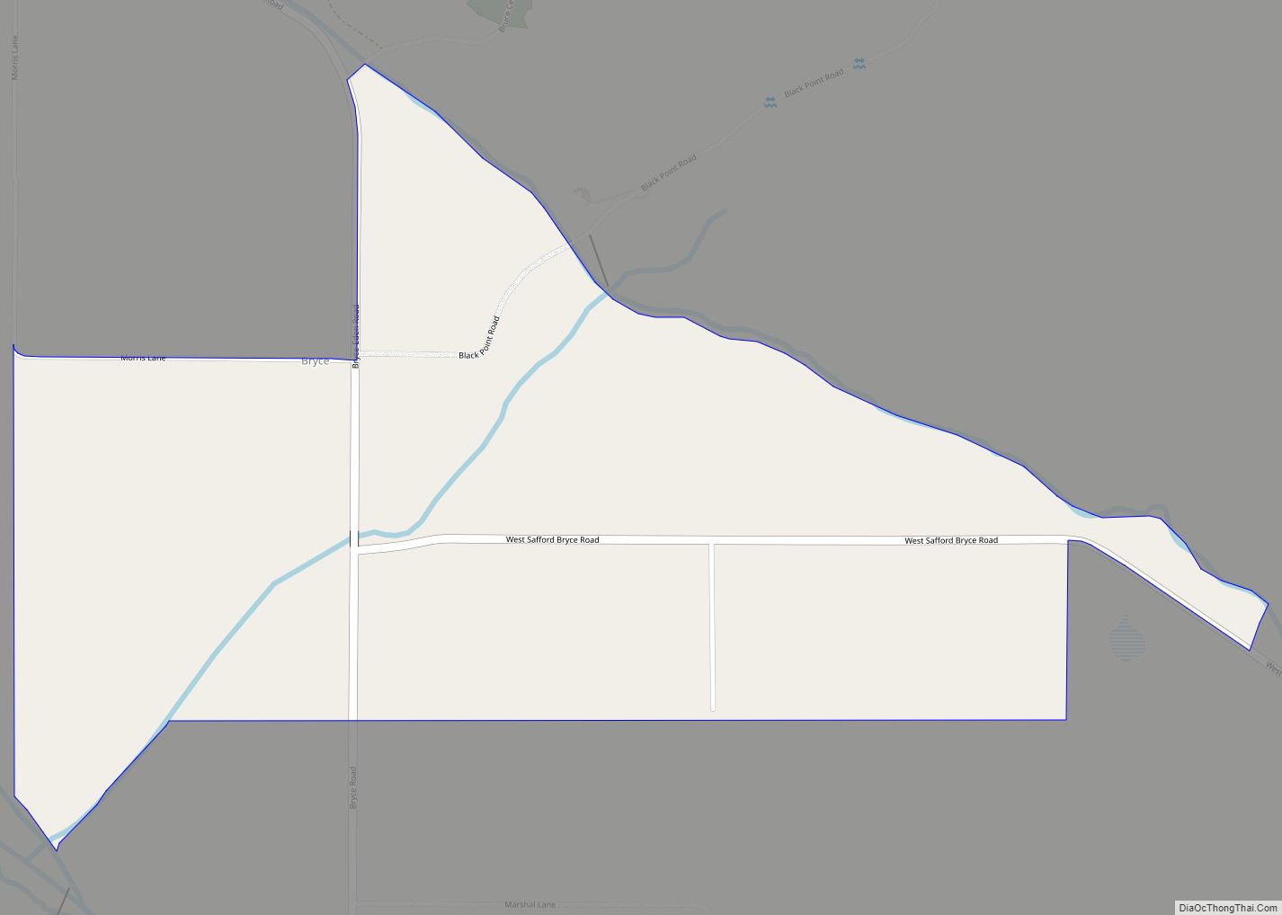
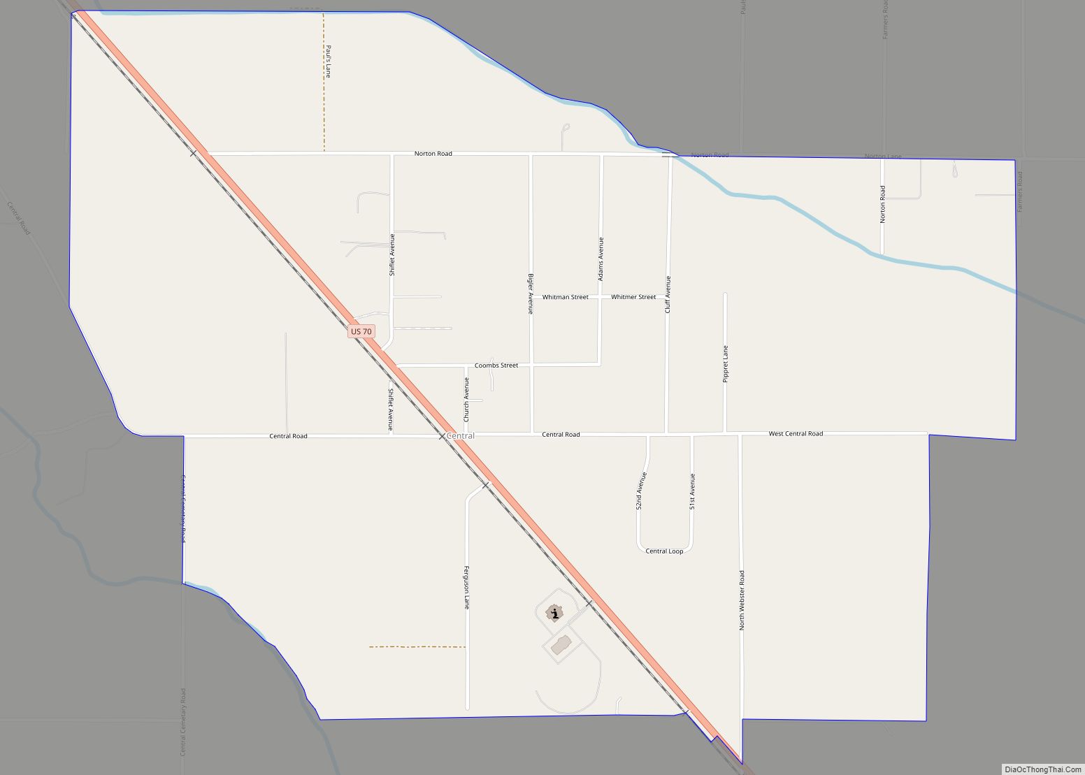
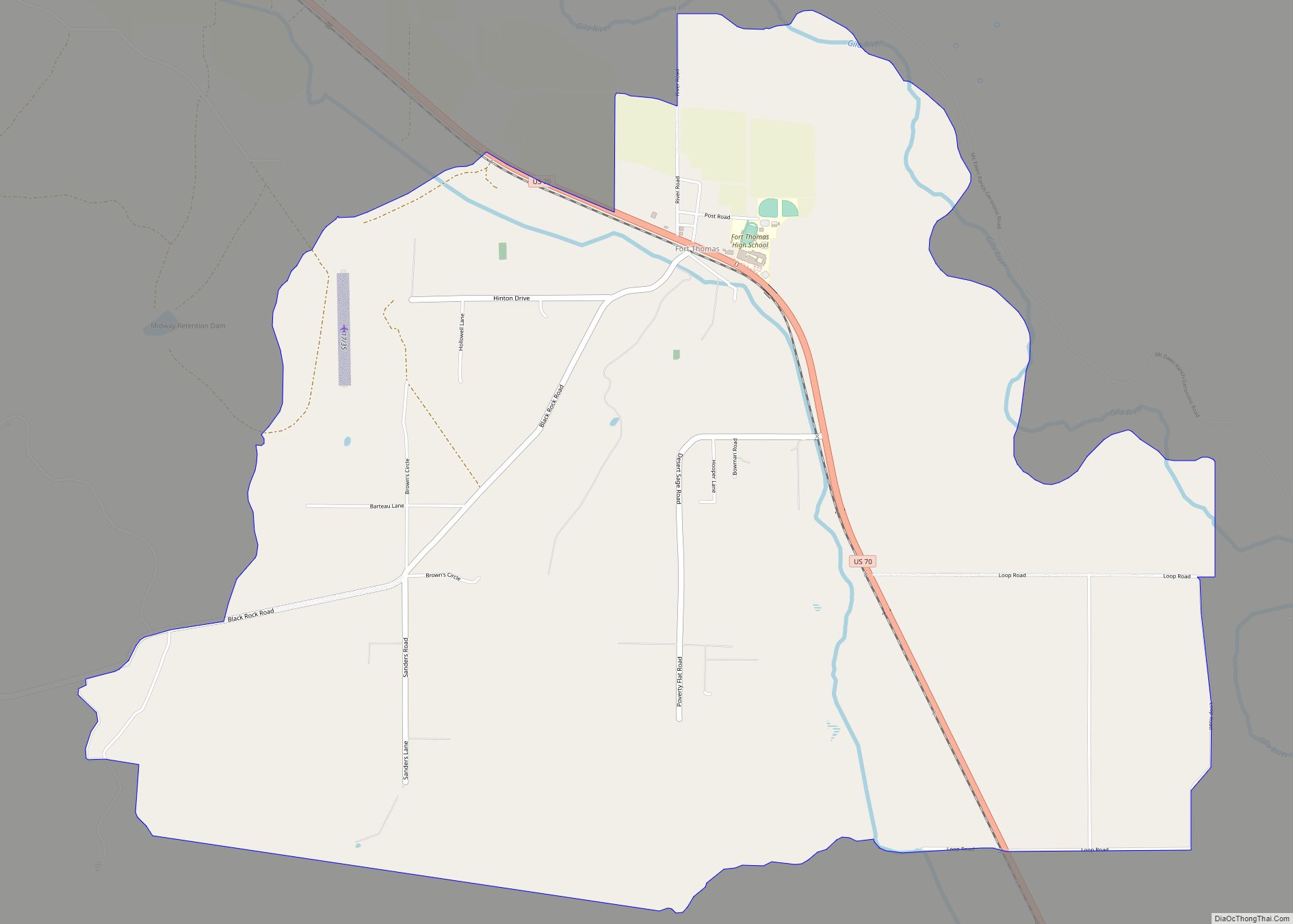
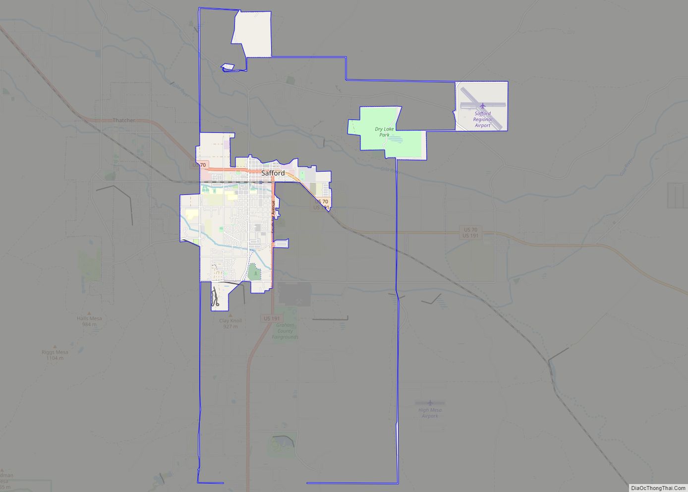
Online Interactive Map
Click on ![]() to view map in "full screen" mode.
to view map in "full screen" mode.
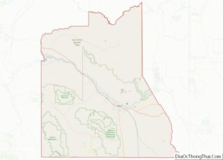
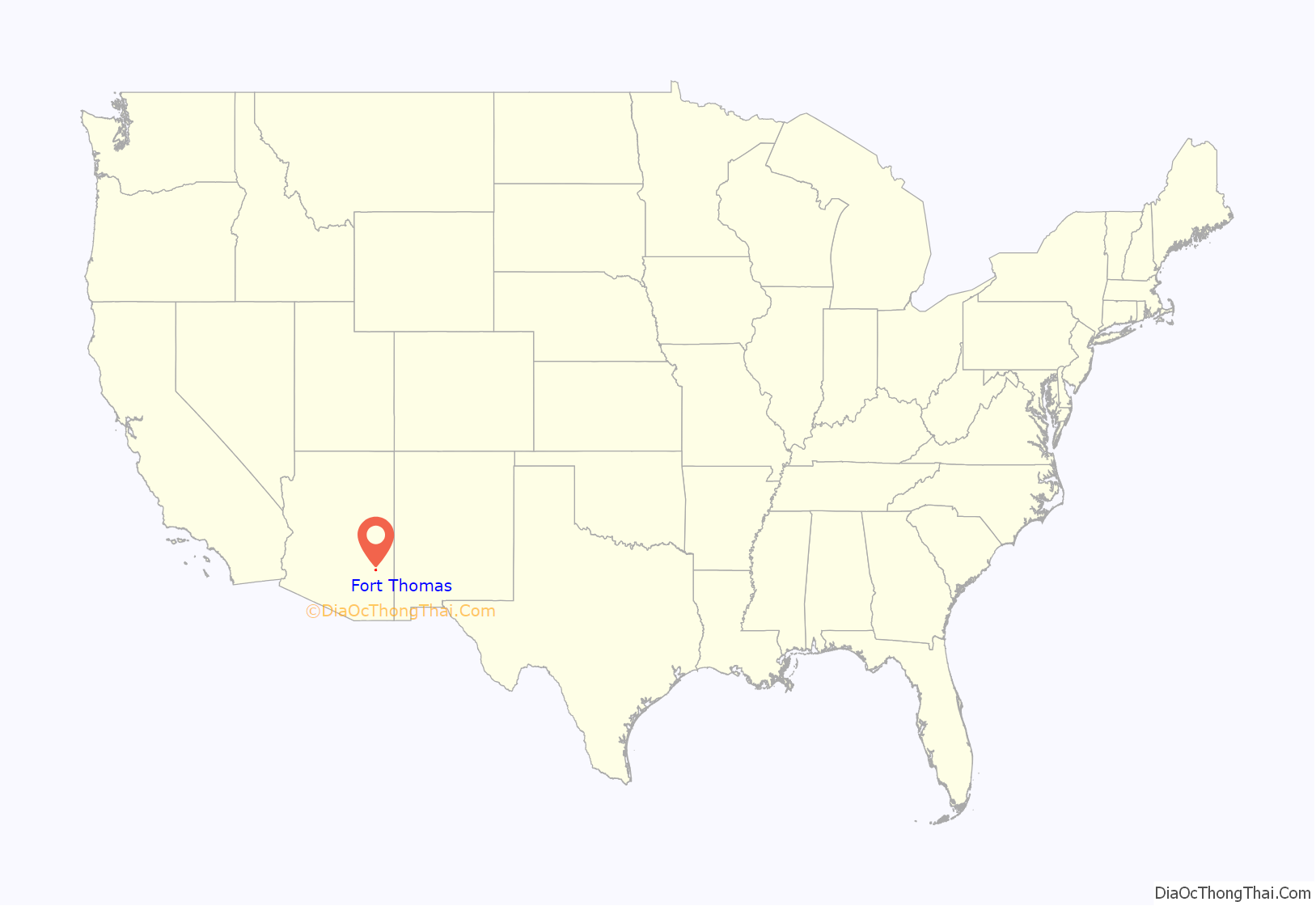
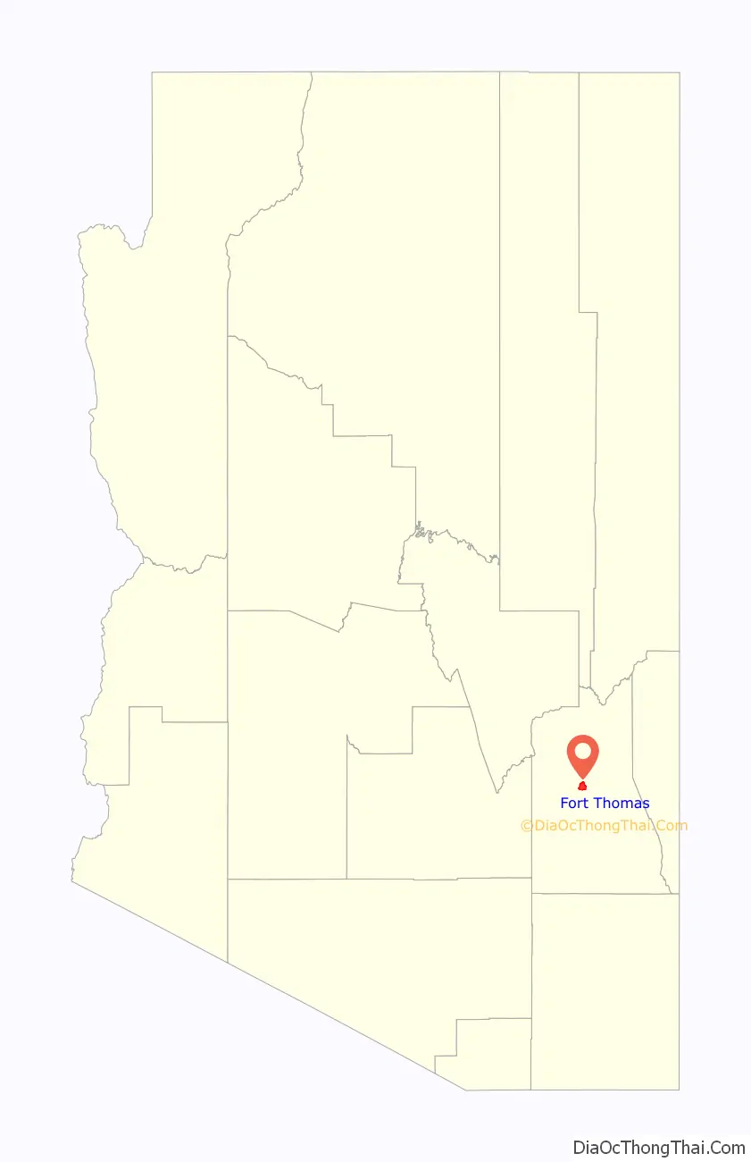
Fort Thomas location map. Where is Fort Thomas CDP?
History
The earliest military presence in the area was former Camp Goodwin, constructed in 1864 and named for Arizona’s first territorial governor, John N. Goodwin. The camp was abandoned after a short time due to failed buildings and malaria from a nearby spring. In 1876, the current site of the community was chosen as a “new post on the Gila,” selected to replace Camp Goodwin during the Apache Wars. Initially, the site was named Camp Thomas in honor of Civil War Major General George Henry Thomas. Until 1882 the area would be known by several names including Clantonville, Camp Thomas, Maxey and finally Fort Thomas.
At its peak, the fort consisted of 27 buildings, all constructed by the occupants of the fort and made of adobe. Malaria remained a problem throughout the occupation of the area, and led to Fort Thomas being called the “worst fort in the Army.” The fort also had no government funding until the year 1884. After the capture of Geronimo in 1886, the Army gradually removed the troops stationed there until the fort was handed over to the Department of the Interior in 1891.
The early town had a poor reputation, and was home to several houses of prostitution and saloons. Camp Thomas was to be the destination of the pay wagons involved in the Wham Paymaster robbery of 1889. In 1895, the community grew significantly when the Southern Pacific railroad’s construction in the area was halted due to native Apache people refusing to let the railroad continue construction through their reservation. During this time, Fort Thomas also hosted a Wells Fargo station.
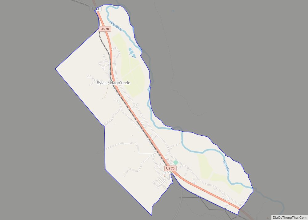
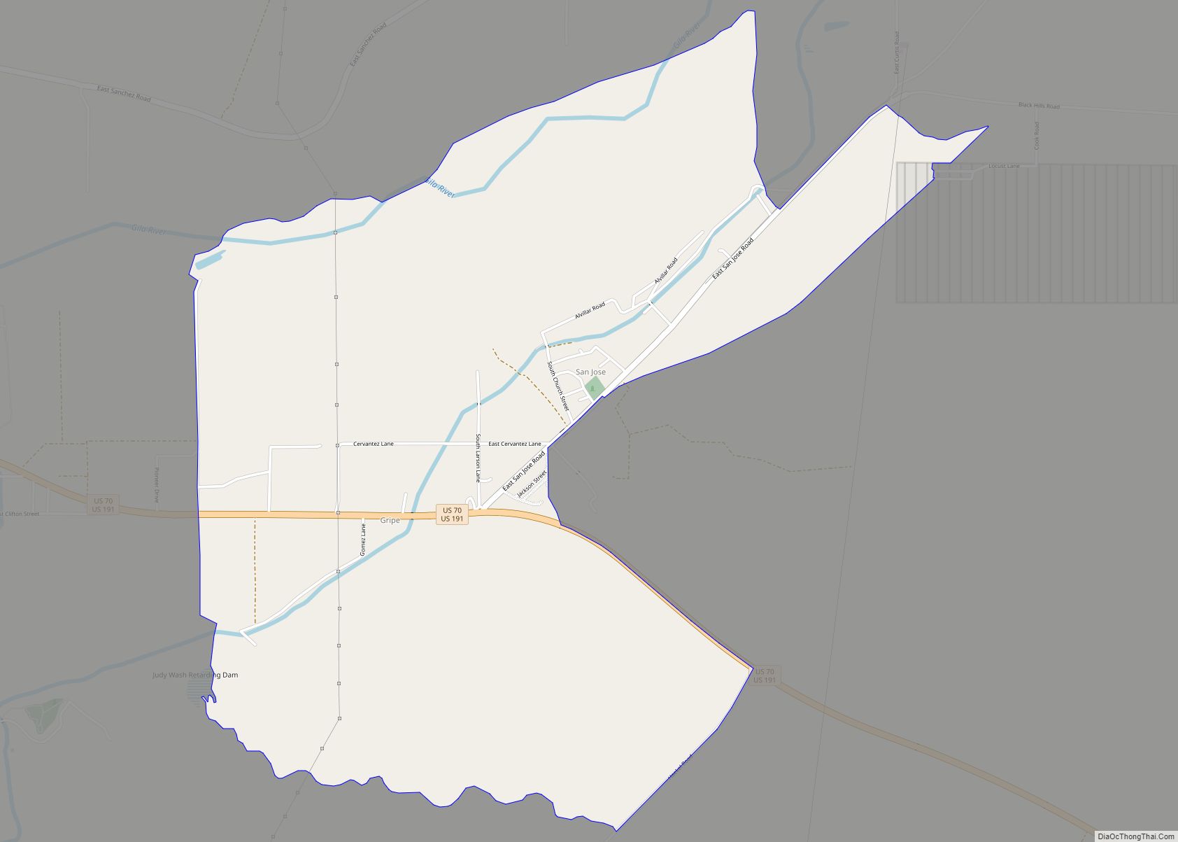
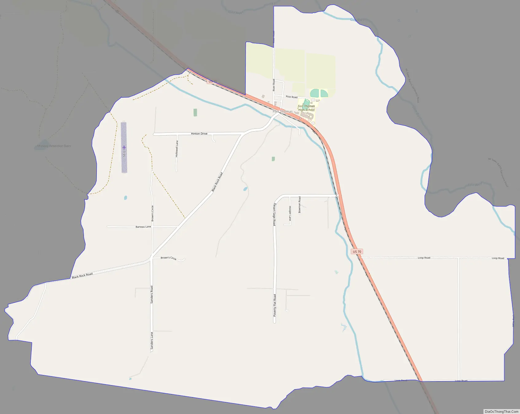
Fort Thomas Road Map
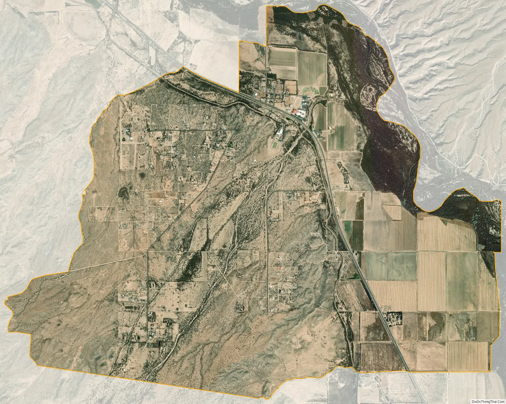
Fort Thomas city Satellite Map
Geography
Fort Thomas is at 33°2′14″N 109°57′58″W / 33.03722°N 109.96611°W / 33.03722; -109.96611, at an elevation of 2822 feet above sea level.
Climate
Fort Thomas has a borderline semi-arid climate (Köppen BSh/BSk) bordering upon an arid climate (BWh/BWk) characterised by very hot summers and winters with mild days and cold nights. Although frosts are frequent during the winter, occurring on an average of 60.2 nights during December, January and February, snow is exceptionally rare with a median of zero and a mean of 0.2 inches (0.005 m). Daily temperatures are comfortable during winter – only 5.6 days do not top 50 °F or 10 °C – but heat up rapidly as summer approaches, with half of all days by May topping 90 °F or 32.2 °C and 35.5 days topping 100 °F or 37.8 °C during an average entire year.
Rainfall is rare, with monsoonal storms much less frequent than higher up or further south. Easily the wettest month since records began in 1966 has been January 1993 when 5.27 inches or 133.9 millimetres fell – the only other totals above 4.00 inches (101.6 mm) over a single month being 4.40 inches or 111.8 millimetres in October 1983 and 4.22 inches or 107.2 millimetres in October 2000. The wettest calendar year has been 1978 with 16.50 inches or 419.1 millimetres and the driest 1989 with 3.93 inches (99.8 mm).
See also
Map of Arizona State and its subdivision: Map of other states:- Alabama
- Alaska
- Arizona
- Arkansas
- California
- Colorado
- Connecticut
- Delaware
- District of Columbia
- Florida
- Georgia
- Hawaii
- Idaho
- Illinois
- Indiana
- Iowa
- Kansas
- Kentucky
- Louisiana
- Maine
- Maryland
- Massachusetts
- Michigan
- Minnesota
- Mississippi
- Missouri
- Montana
- Nebraska
- Nevada
- New Hampshire
- New Jersey
- New Mexico
- New York
- North Carolina
- North Dakota
- Ohio
- Oklahoma
- Oregon
- Pennsylvania
- Rhode Island
- South Carolina
- South Dakota
- Tennessee
- Texas
- Utah
- Vermont
- Virginia
- Washington
- West Virginia
- Wisconsin
- Wyoming