Fortuna Foothills is a census-designated place (CDP) in Yuma County, Arizona, United States. The population was 26,265 at the 2010 census. It is part of the Yuma Metropolitan Statistical Area. Development of the area began in the 1960s, when local developer Hank Schechert purchased 3,000 acres east of Yuma. Fortuna Foothills serves as a bedroom community for Yuma, Yuma Proving Ground, and Marine Corps Air Station Yuma. Fortuna Foothills is also an area with a large amount of seasonal residents.
| Name: | Fortuna Foothills CDP |
|---|---|
| LSAD Code: | 57 |
| LSAD Description: | CDP (suffix) |
| State: | Arizona |
| County: | Yuma County |
| Elevation: | 335 ft (102 m) |
| Total Area: | 40.08 sq mi (103.81 km²) |
| Land Area: | 40.08 sq mi (103.81 km²) |
| Water Area: | 0.00 sq mi (0.00 km²) |
| Total Population: | 27,776 |
| Population Density: | 692.98/sq mi (267.56/km²) |
| ZIP code: | 86300 |
| Area code: | 928 |
| FIPS code: | 0425030 |
| GNISfeature ID: | 1866984 |
Online Interactive Map
Click on ![]() to view map in "full screen" mode.
to view map in "full screen" mode.
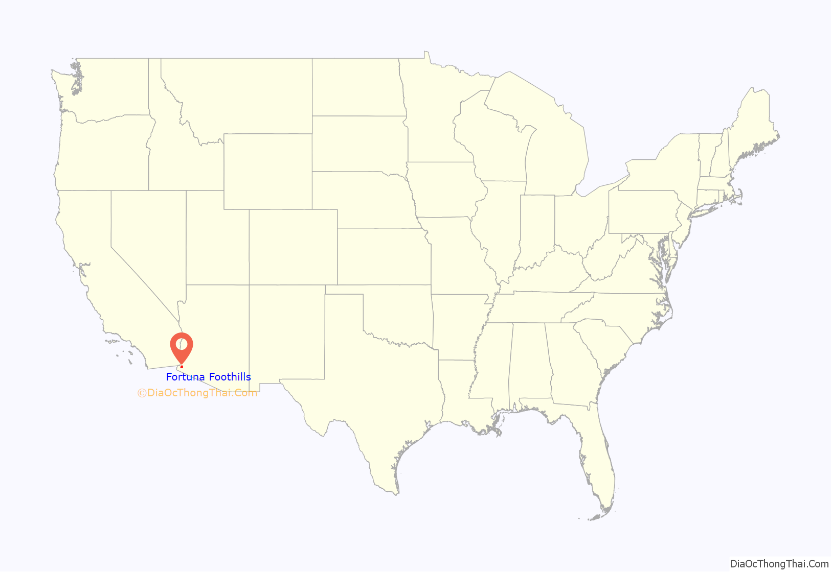
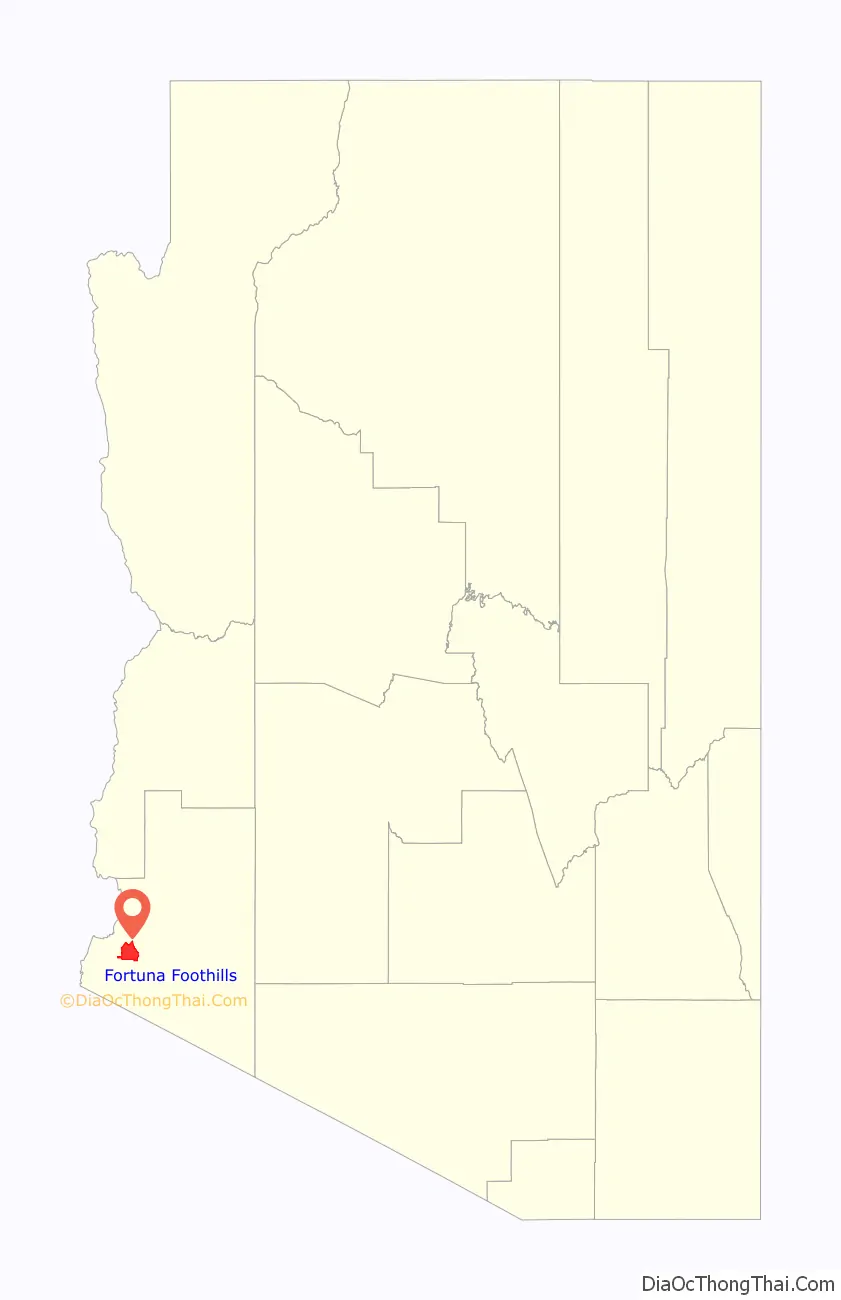
Fortuna Foothills location map. Where is Fortuna Foothills CDP?
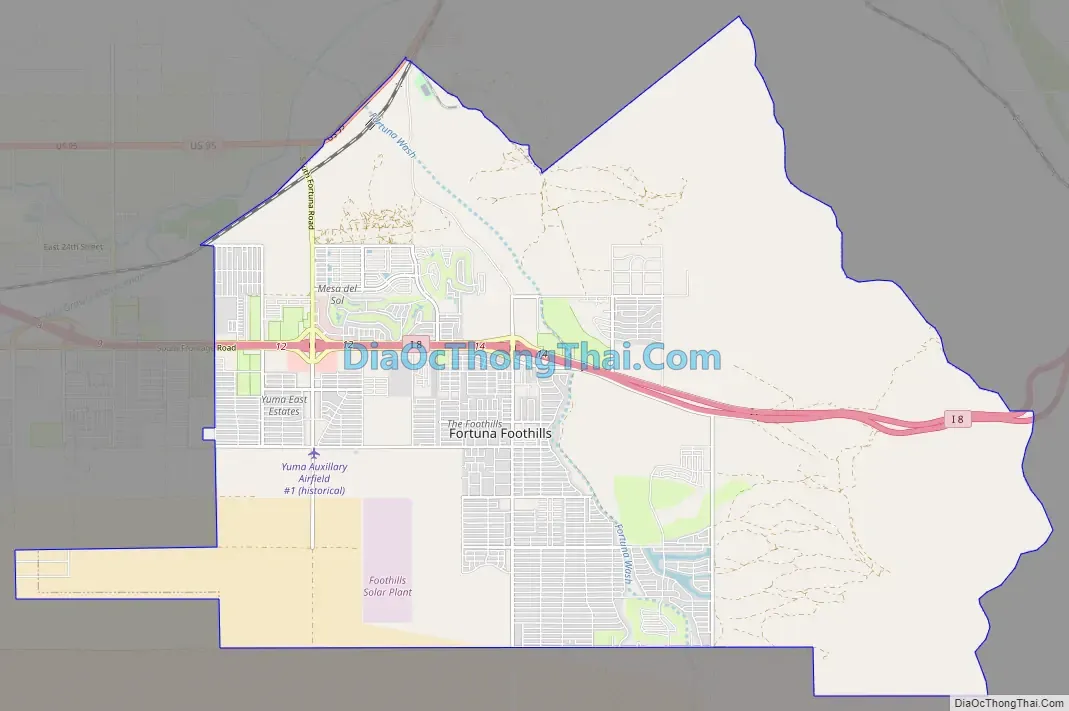
Fortuna Foothills Road Map
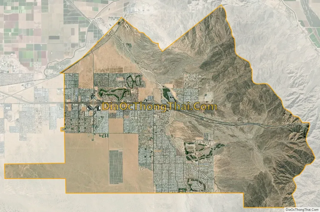
Fortuna Foothills city Satellite Map
Geography
Fortuna Foothills is located at 32°39′28″N 114°24′43″W / 32.65778°N 114.41194°W / 32.65778; -114.41194 (32.657713, -114.411808).
According to the United States Census Bureau, the CDP has a total area of 40.0 square miles (104 km), all land.
See also
Map of Arizona State and its subdivision: Map of other states:- Alabama
- Alaska
- Arizona
- Arkansas
- California
- Colorado
- Connecticut
- Delaware
- District of Columbia
- Florida
- Georgia
- Hawaii
- Idaho
- Illinois
- Indiana
- Iowa
- Kansas
- Kentucky
- Louisiana
- Maine
- Maryland
- Massachusetts
- Michigan
- Minnesota
- Mississippi
- Missouri
- Montana
- Nebraska
- Nevada
- New Hampshire
- New Jersey
- New Mexico
- New York
- North Carolina
- North Dakota
- Ohio
- Oklahoma
- Oregon
- Pennsylvania
- Rhode Island
- South Carolina
- South Dakota
- Tennessee
- Texas
- Utah
- Vermont
- Virginia
- Washington
- West Virginia
- Wisconsin
- Wyoming


