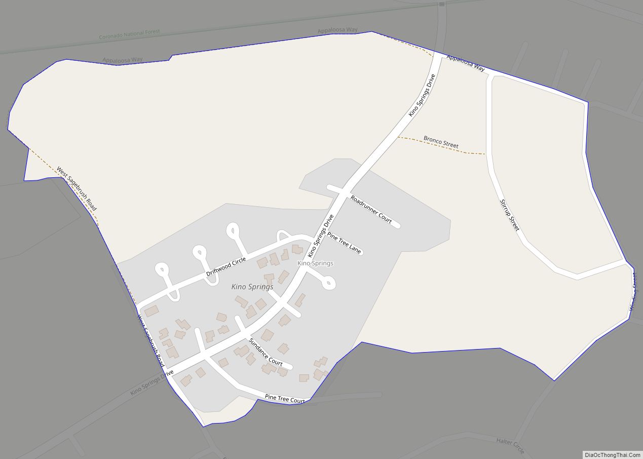
Kino Springs is a census-designated place (CDP) in Santa Cruz County, Arizona, United States. The population was 136 at the 2010 census.
| Name: | Kino Springs CDP |
|---|---|
| LSAD Code: | 57 |
| LSAD Description: | CDP (suffix) |
| State: | Arizona |
| County: | Santa Cruz County |
| Elevation: | 3,999 ft (1,219 m) |
| Total Area: | 0.26 sq mi (0.67 km²) |
| Land Area: | 0.26 sq mi (0.67 km²) |
| Water Area: | 0.00 sq mi (0.00 km²) |
| Total Population: | 166 |
| Population Density: | 643.41/sq mi (248.05/km²) |
| ZIP code: | 85621 |
| Area code: | 520 |
| FIPS code: | 0437935 |
| GNISfeature ID: | 36683 |
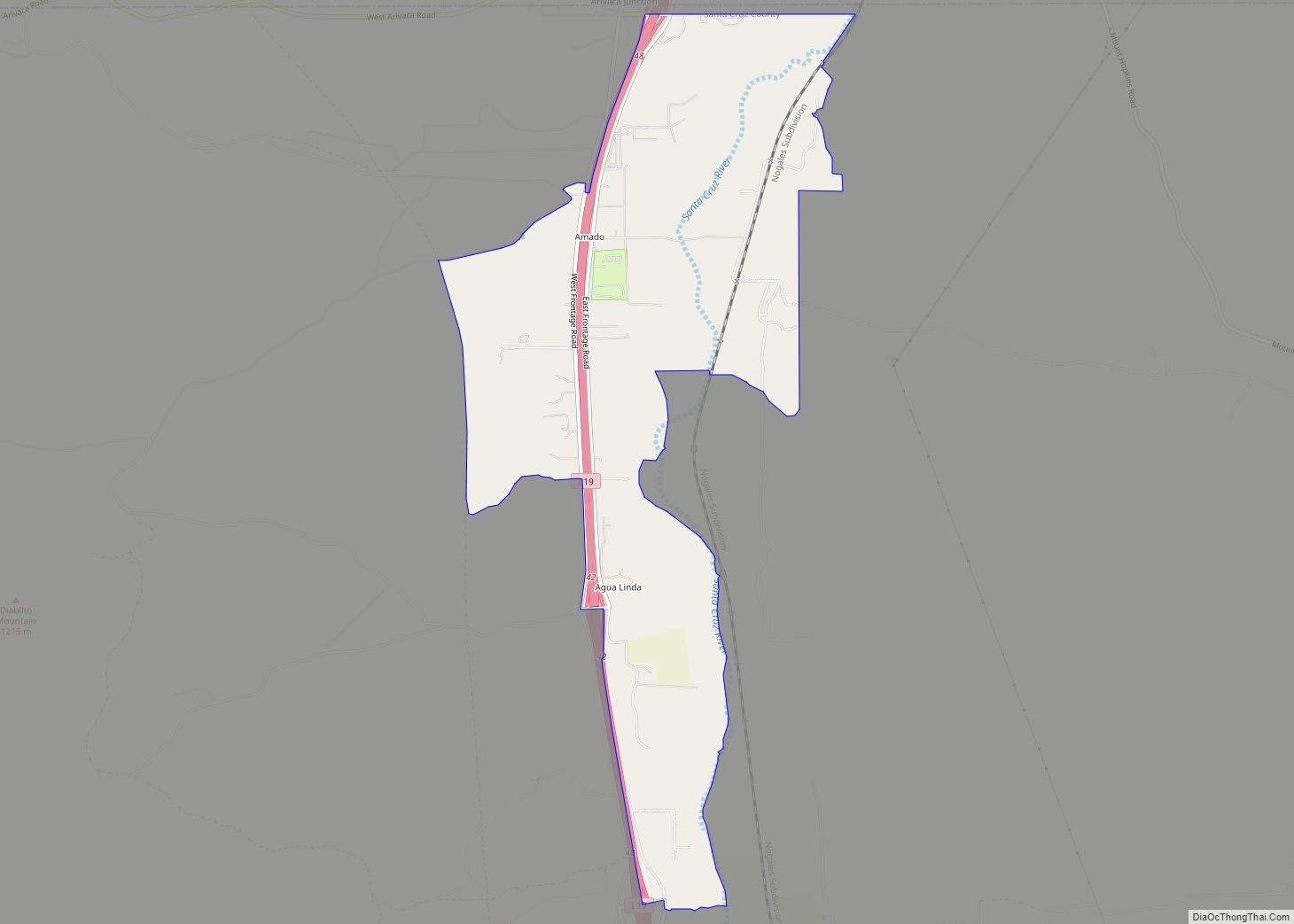
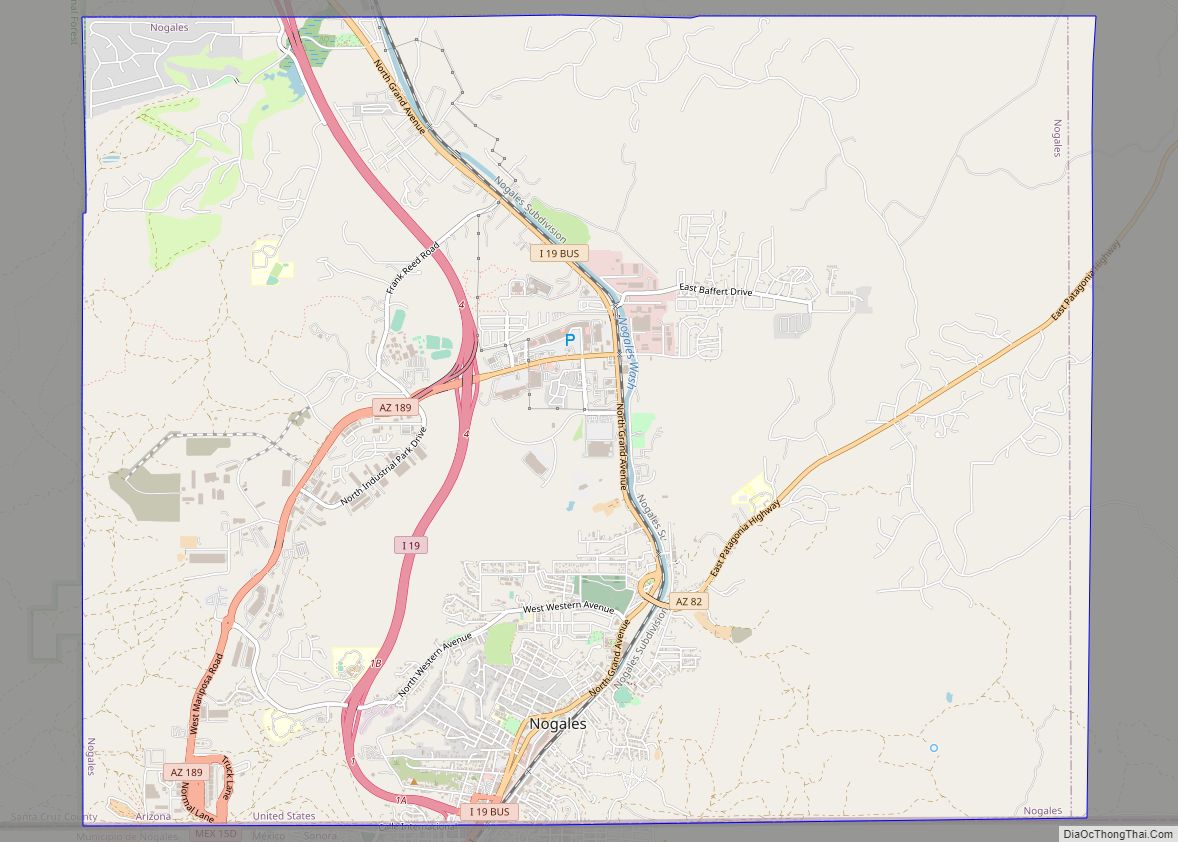
Online Interactive Map
Click on ![]() to view map in "full screen" mode.
to view map in "full screen" mode.
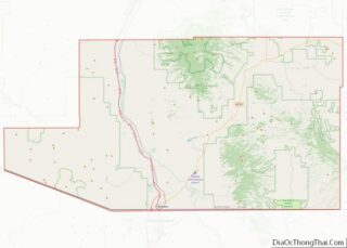
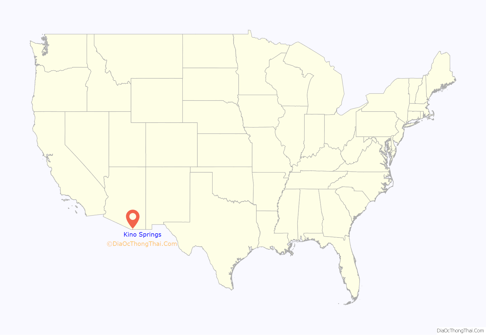
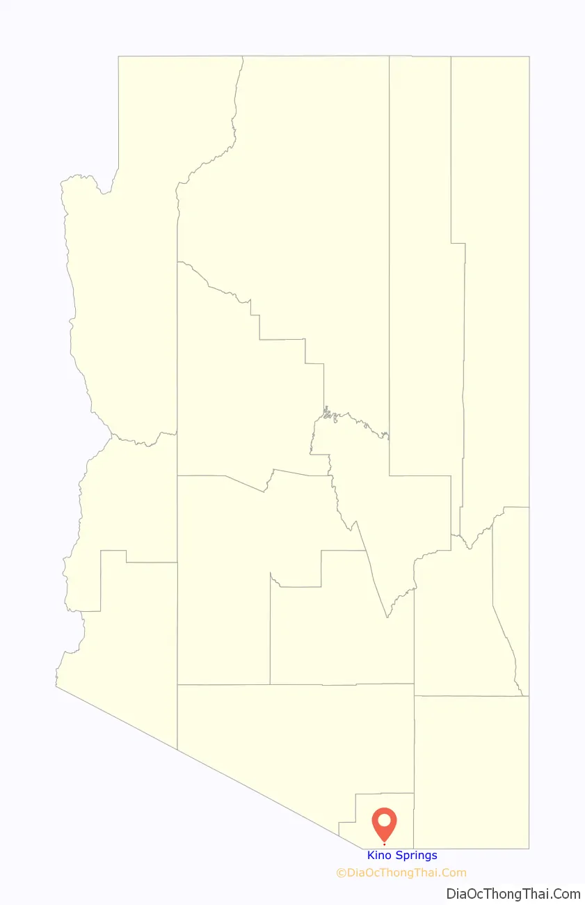
Kino Springs location map. Where is Kino Springs CDP?
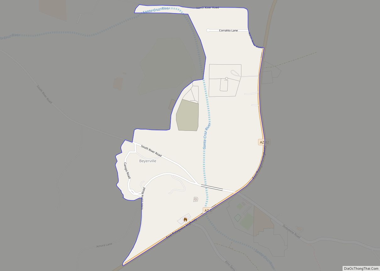
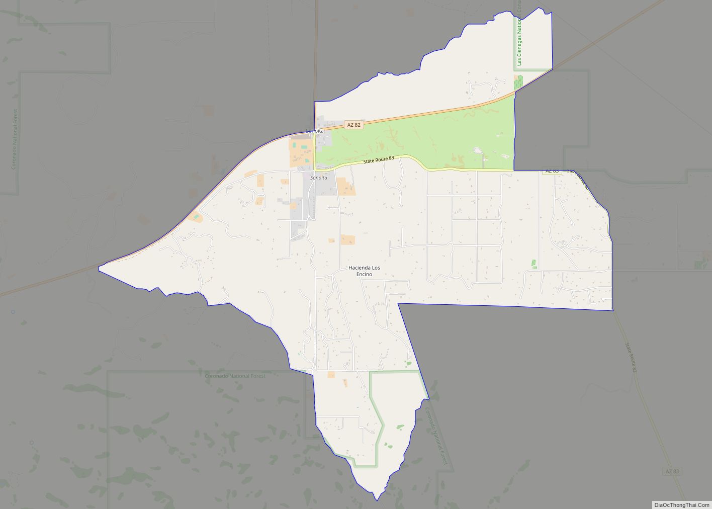
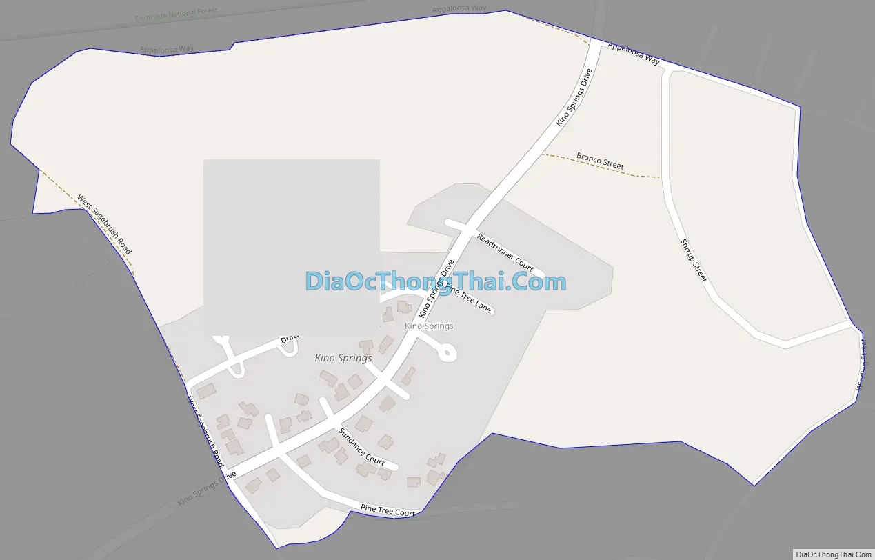
Kino Springs Road Map
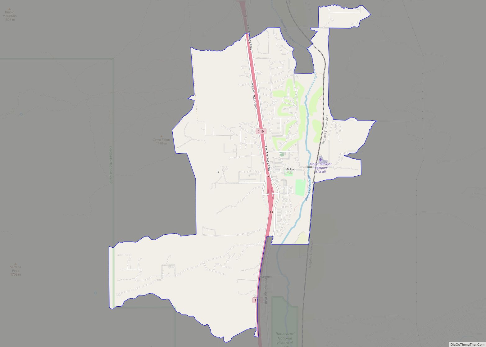
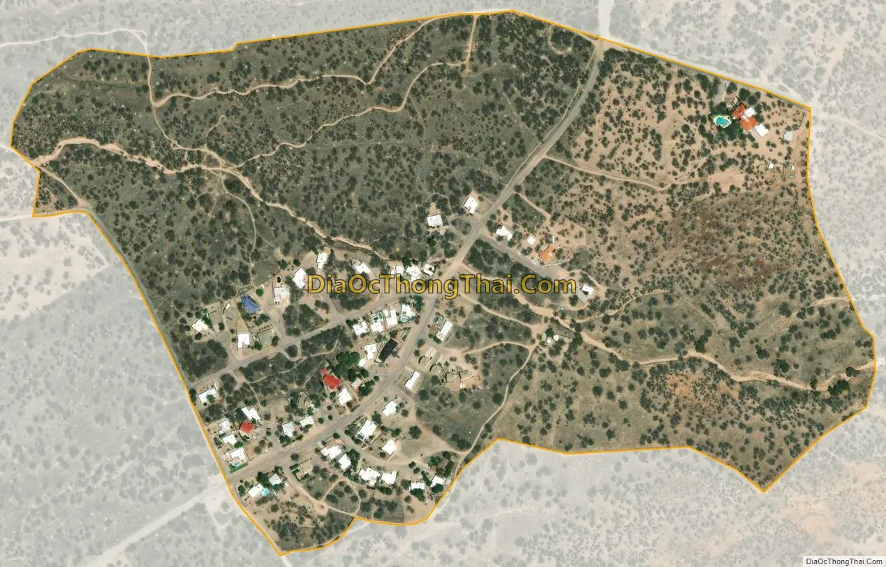
Kino Springs city Satellite Map
Geography
Kino Springs is located 3 miles (5 km) southeast of Beyerville and 5 miles (8 km) east of Nogales. Kino Springs lies on the western foothills of the Patagonia Mountains with the highest peak, Mount Washington, rising approximately four miles due east. The Mexican border lies about 1.5 miles to the south.
According to the United States Census Bureau, the CDP has a total area of 0.27 square miles (0.7 km), all land.
See also
Map of Arizona State and its subdivision: Map of other states:- Alabama
- Alaska
- Arizona
- Arkansas
- California
- Colorado
- Connecticut
- Delaware
- District of Columbia
- Florida
- Georgia
- Hawaii
- Idaho
- Illinois
- Indiana
- Iowa
- Kansas
- Kentucky
- Louisiana
- Maine
- Maryland
- Massachusetts
- Michigan
- Minnesota
- Mississippi
- Missouri
- Montana
- Nebraska
- Nevada
- New Hampshire
- New Jersey
- New Mexico
- New York
- North Carolina
- North Dakota
- Ohio
- Oklahoma
- Oregon
- Pennsylvania
- Rhode Island
- South Carolina
- South Dakota
- Tennessee
- Texas
- Utah
- Vermont
- Virginia
- Washington
- West Virginia
- Wisconsin
- Wyoming