Miami (Western Apache: Goshtłʼish Tú) is a town in Gila County, Arizona, United States. Miami is a classic Western copper boom-town. Miami’s old downtown has been partly renovated, and the Bullion Plaza Museum features the cultural, mining and ranching history of the Miami area.
According to the 2010 Census, the population of the town was 1,837.
| Name: | Miami town |
|---|---|
| LSAD Code: | 43 |
| LSAD Description: | town (suffix) |
| State: | Arizona |
| County: | Gila County |
| Elevation: | 3,402 ft (1,037 m) |
| Total Area: | 0.89 sq mi (2.31 km²) |
| Land Area: | 0.89 sq mi (2.31 km²) |
| Water Area: | 0.00 sq mi (0.00 km²) |
| Total Population: | 1,541 |
| Population Density: | 1,729.52/sq mi (667.73/km²) |
| ZIP code: | 85539 |
| Area code: | 928 |
| FIPS code: | 0446350 |
| GNISfeature ID: | 31789 |
| Website: | miamiaz.gov |
Online Interactive Map
Click on ![]() to view map in "full screen" mode.
to view map in "full screen" mode.
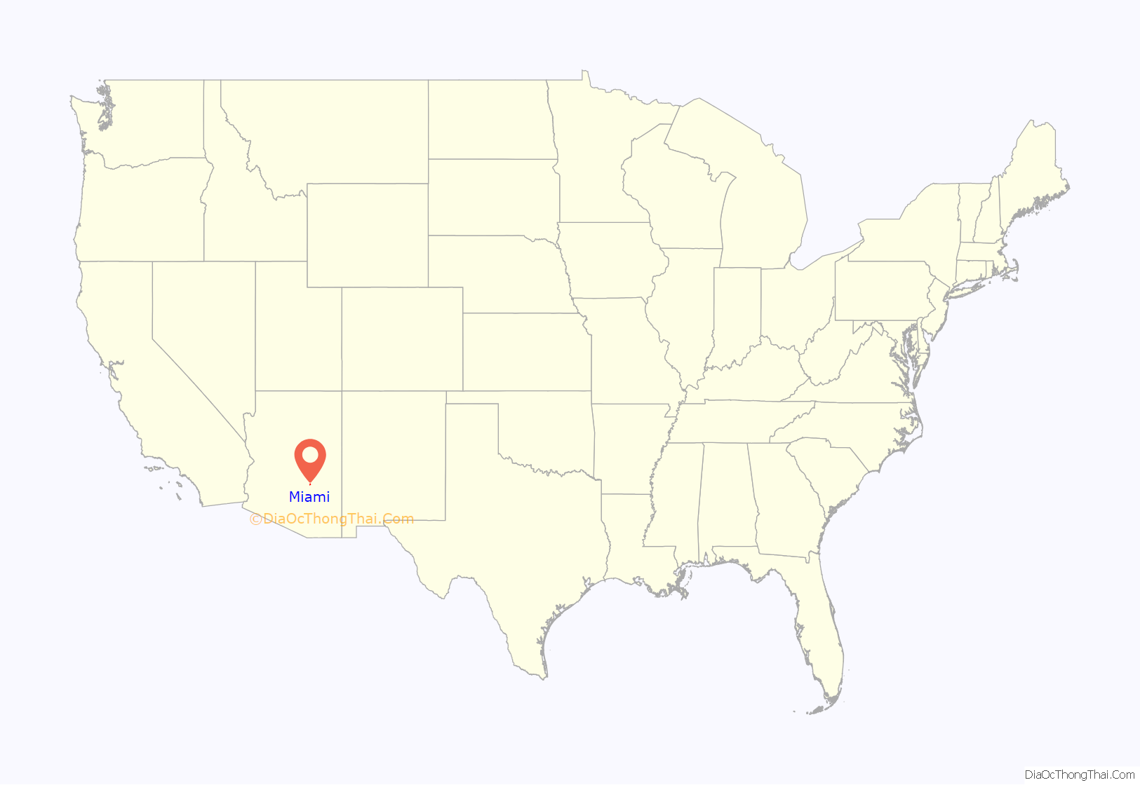
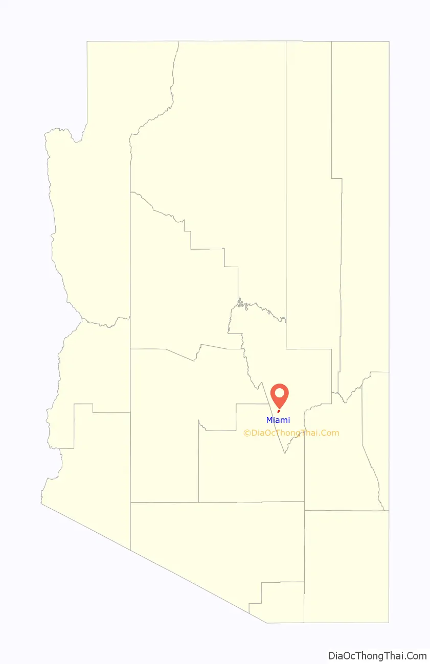
Miami location map. Where is Miami town?
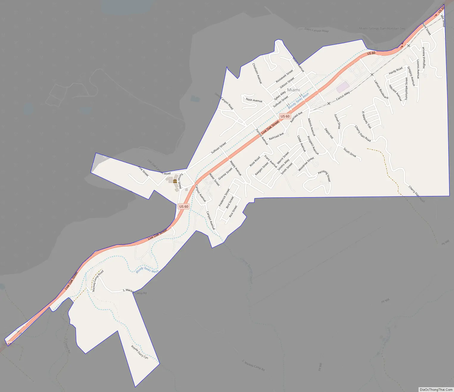
Miami Road Map
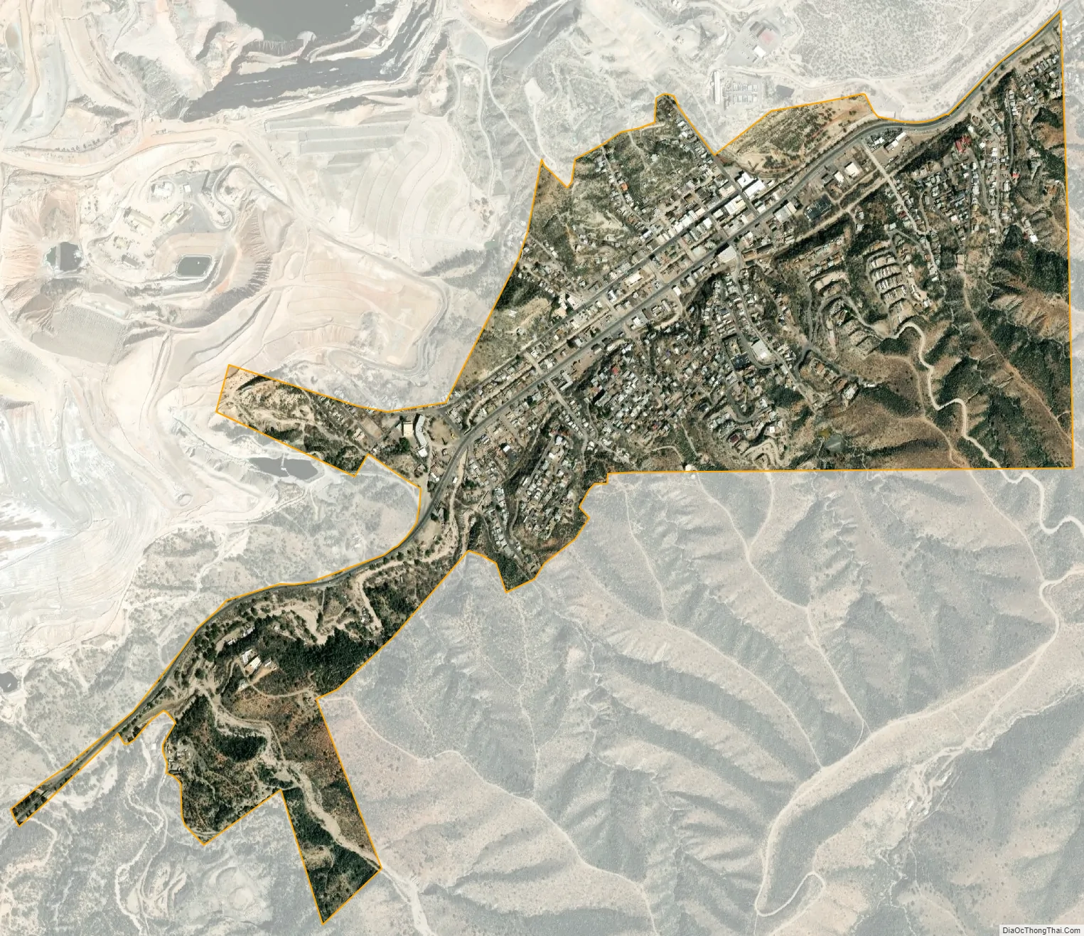
Miami city Satellite Map
Geography
Miami is located at 33°23.8’N 110°52.3’W (33.396, -110.872).
According to the United States Census Bureau, the town has a total area of .9 square miles (2.3 km), all land.
Miami is adjacent to Globe, and near the San Carlos Apache Indian Reservation. Miami, Globe, and the unincorporated areas nearby (including Inspiration, Claypool and Central Heights-Midland City) are commonly called Globe-Miami. The town is located on the northeastern slope of the Pinal Mountains, and is surrounded (except to the east) by the Tonto National Forest. It is located on U.S. Route 60 and is served by the Arizona Eastern Railway.
See also
Map of Arizona State and its subdivision: Map of other states:- Alabama
- Alaska
- Arizona
- Arkansas
- California
- Colorado
- Connecticut
- Delaware
- District of Columbia
- Florida
- Georgia
- Hawaii
- Idaho
- Illinois
- Indiana
- Iowa
- Kansas
- Kentucky
- Louisiana
- Maine
- Maryland
- Massachusetts
- Michigan
- Minnesota
- Mississippi
- Missouri
- Montana
- Nebraska
- Nevada
- New Hampshire
- New Jersey
- New Mexico
- New York
- North Carolina
- North Dakota
- Ohio
- Oklahoma
- Oregon
- Pennsylvania
- Rhode Island
- South Carolina
- South Dakota
- Tennessee
- Texas
- Utah
- Vermont
- Virginia
- Washington
- West Virginia
- Wisconsin
- Wyoming


