Quartzsite is a town in La Paz County, Arizona, United States. According to the 2020 census, the population was 2,413.
Interstate 10 runs directly through Quartzsite which is at the intersection of U.S. Route 95 and Arizona State Route 95 with I-10.
| Name: | Quartzsite town |
|---|---|
| LSAD Code: | 43 |
| LSAD Description: | town (suffix) |
| State: | Arizona |
| County: | La Paz County |
| Incorporated: | 1989 |
| Elevation: | 879 ft (268 m) |
| Total Area: | 36.30 sq mi (94.01 km²) |
| Land Area: | 36.30 sq mi (94.01 km²) |
| Water Area: | 0.00 sq mi (0.00 km²) |
| Total Population: | 2,413 |
| Population Density: | 66.48/sq mi (25.67/km²) |
| ZIP code: | 85346, 85359 |
| Area code: | 928 |
| FIPS code: | 0458010 |
| GNISfeature ID: | 0009866 |
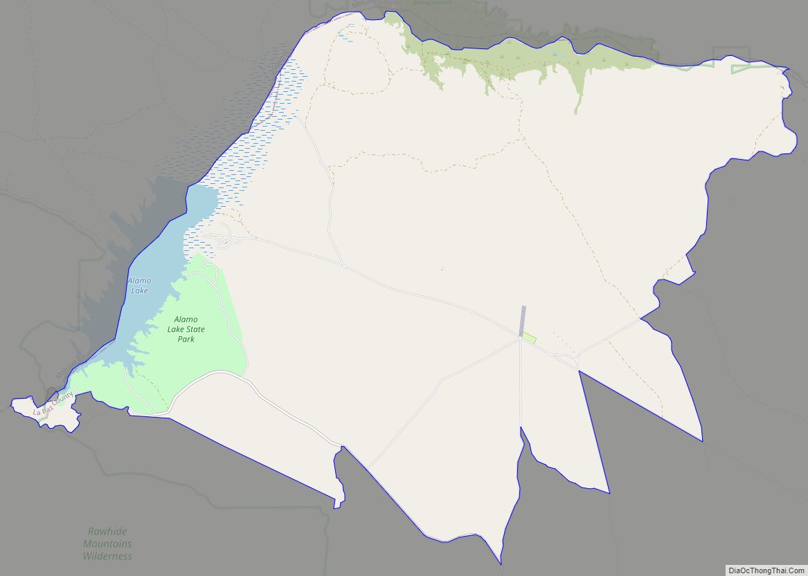
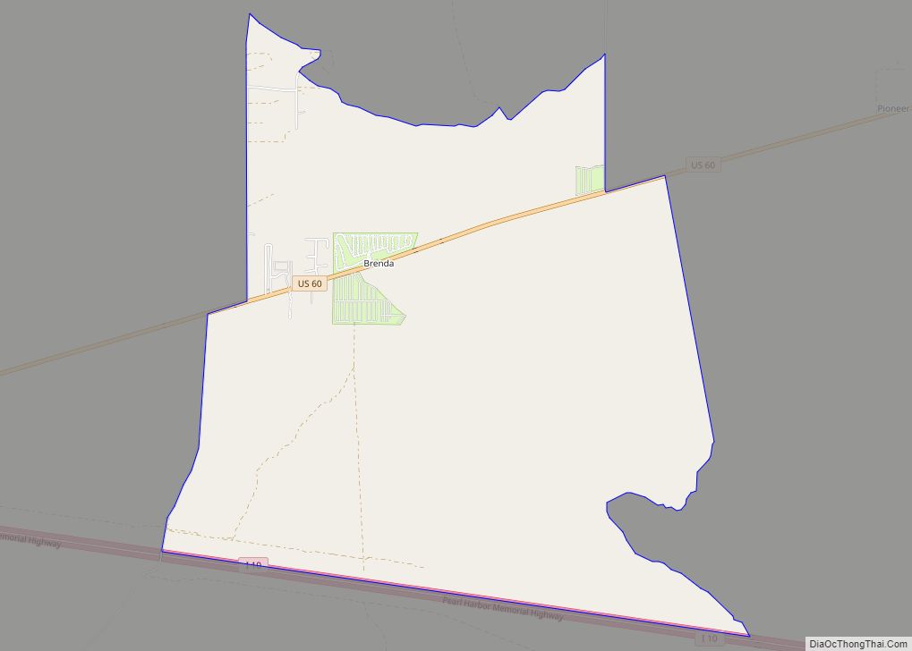
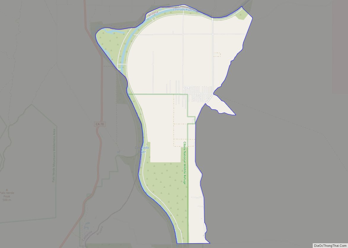
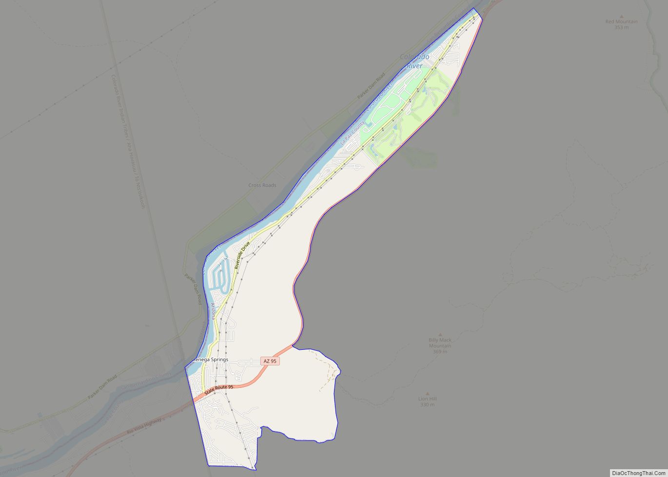
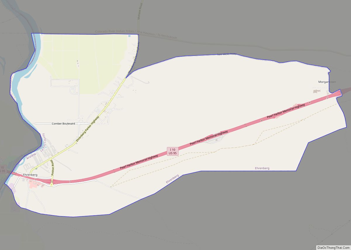
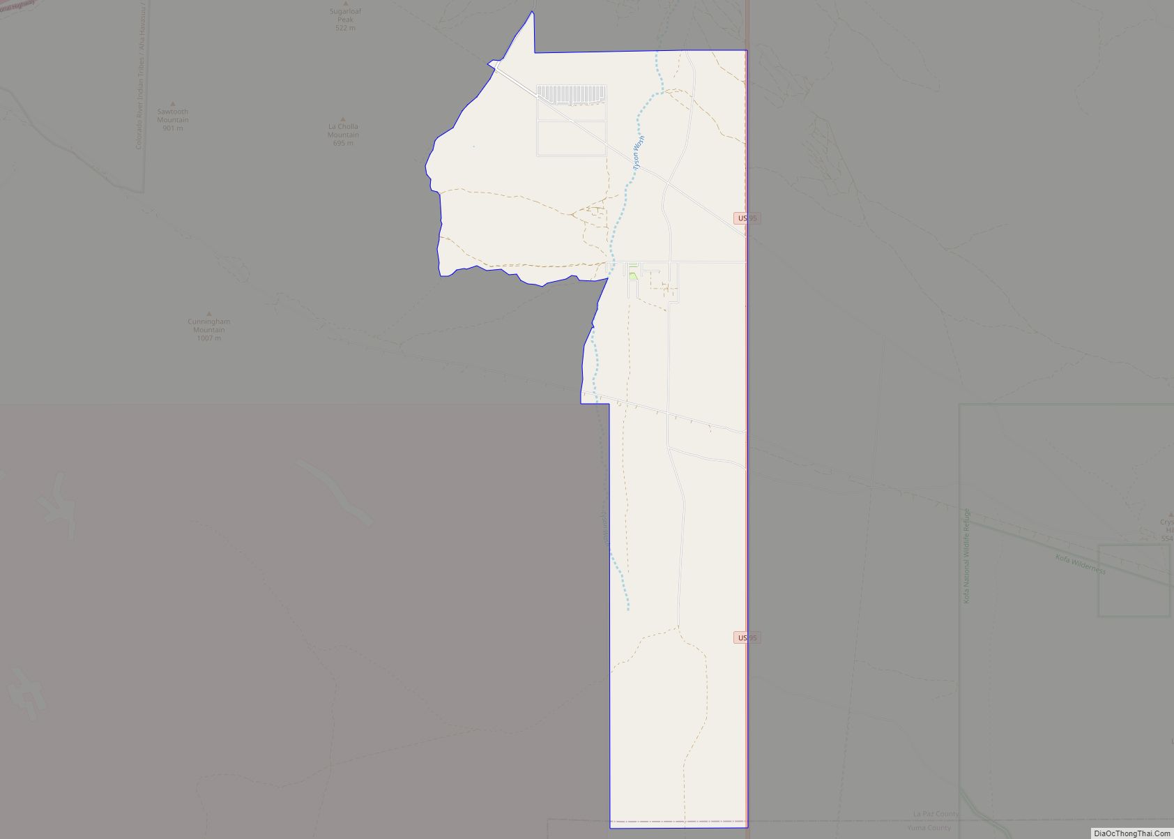
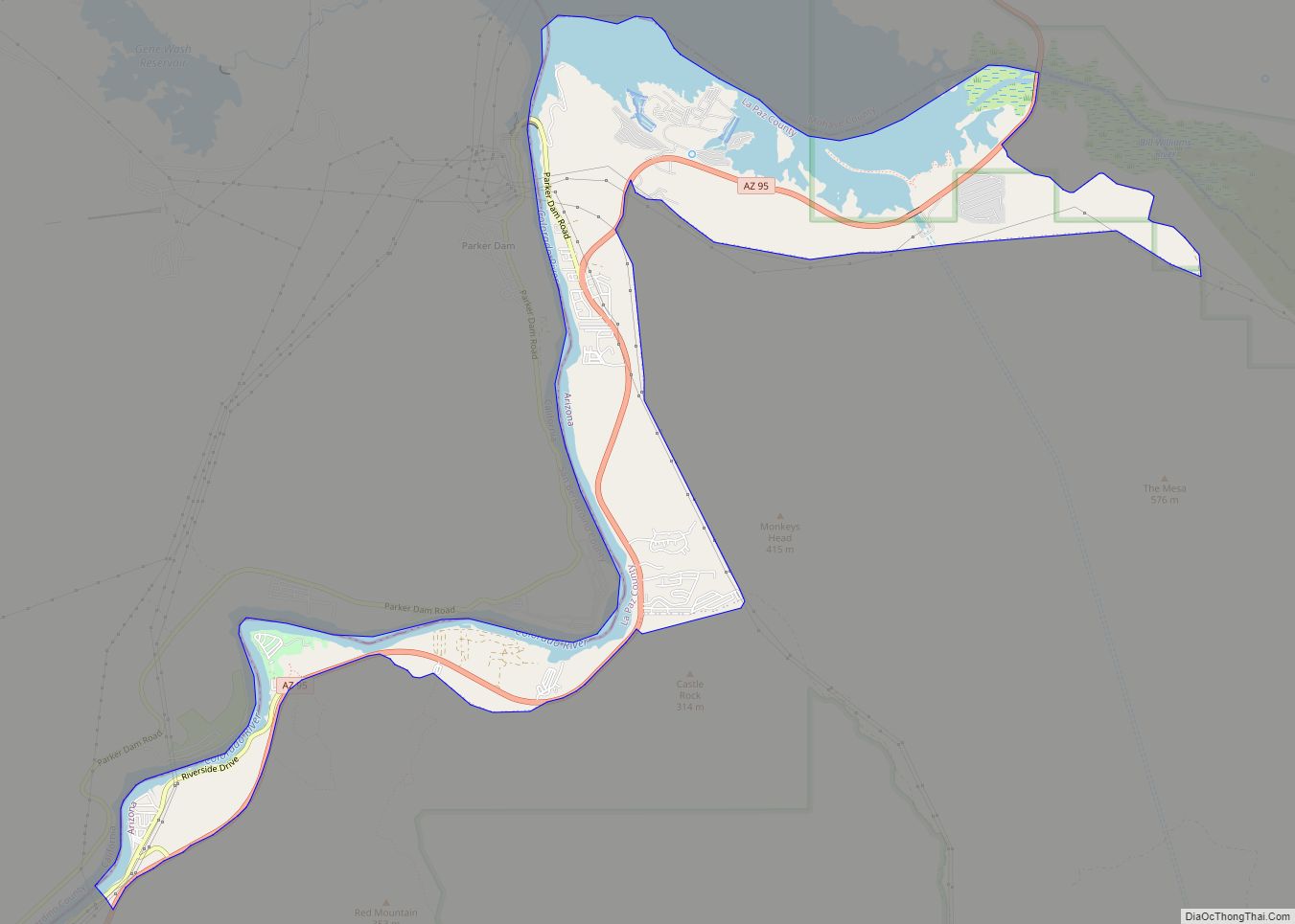
Online Interactive Map
Click on ![]() to view map in "full screen" mode.
to view map in "full screen" mode.
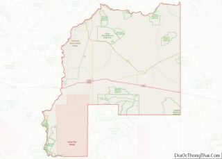
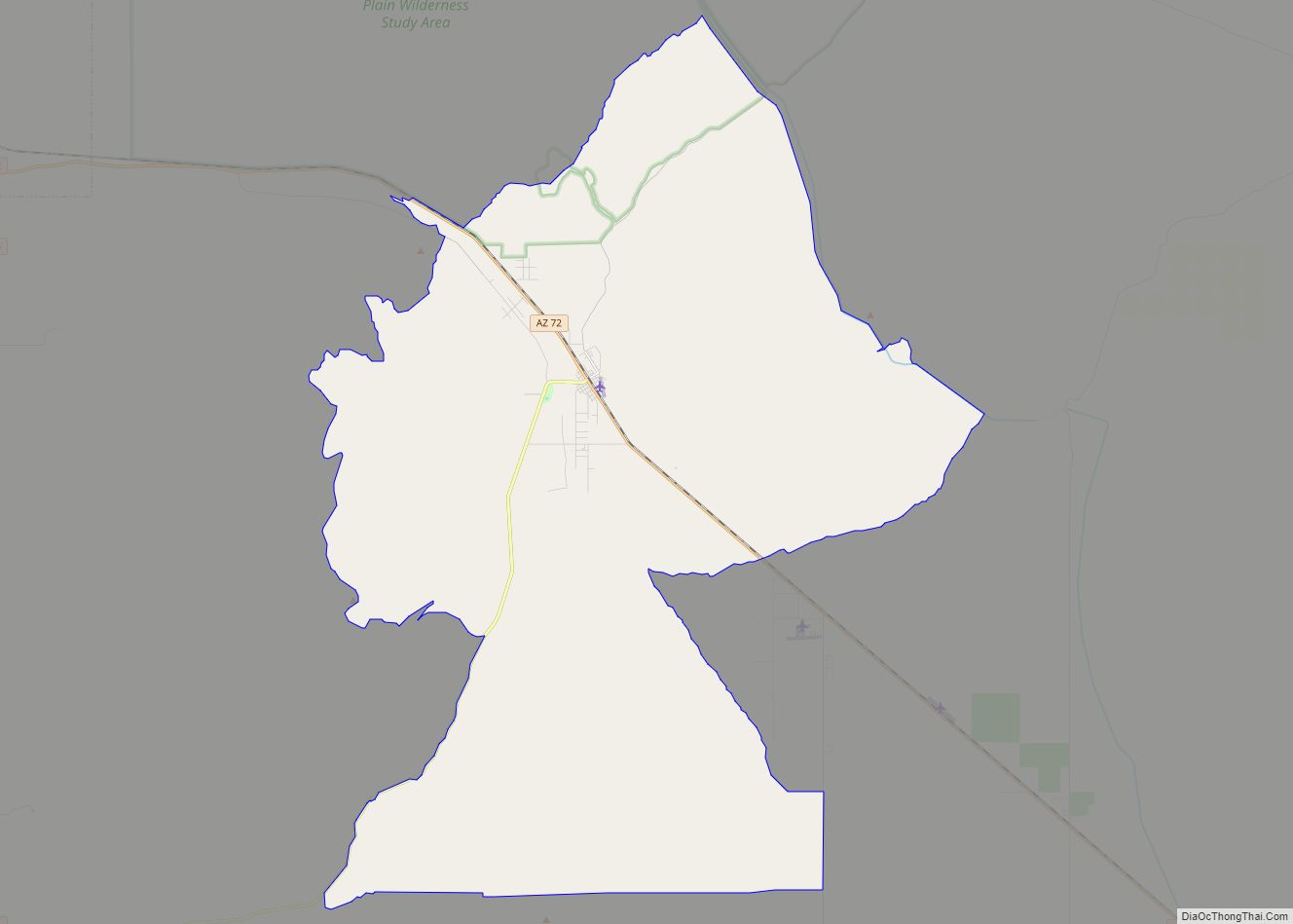
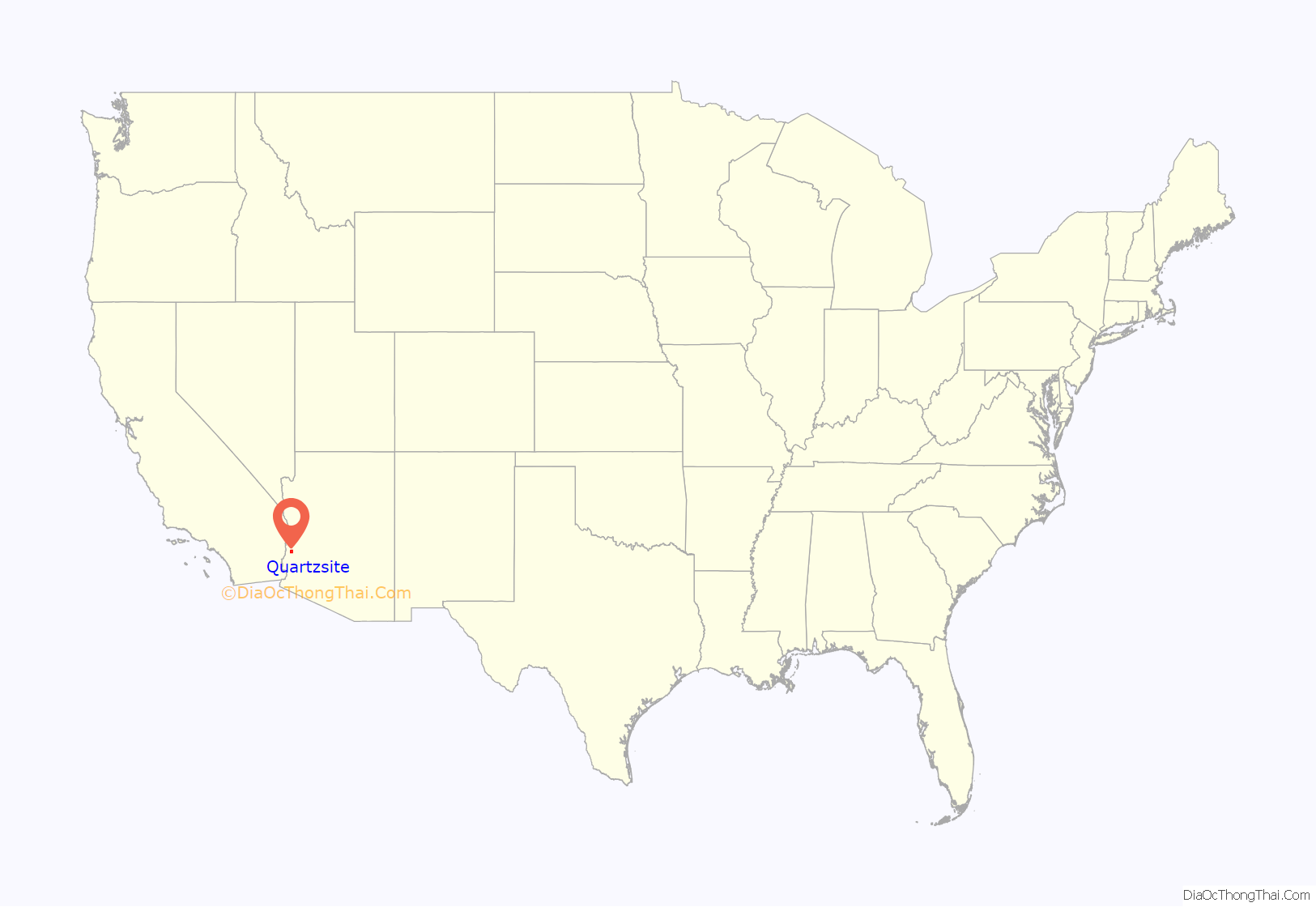
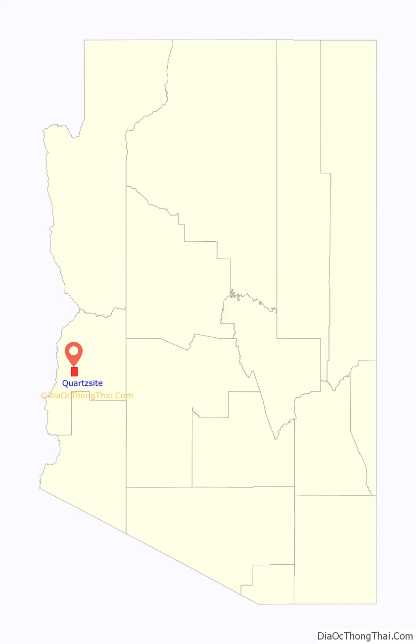
Quartzsite location map. Where is Quartzsite town?
History
Where Quartzsite is now located, was from 1863 to the 1880s the site of a waterhole and later a stage station, called Tyson’s Wells, along the La Paz – Wikenburg Road on Tyson Wash, in what was then Yuma County, in the newly created Arizona Territory. It was about 20 miles from the Colorado River steamboat landing of La Paz and 25 miles from the landing of Erhenburg from 1866. The next stop was 25 miles to the east at Desert Station.
Tyson’s Wells in 1875 was described by Martha Summerhayes, in her book Vanished Arizona:
In the valley around Tyson’s Wells were places known to have been successfully worked by individual prospectors since the beginning of the Colorado River Gold Rush of the 1860s up until the 1950s. Some large scale operations in the early 20th century were failures.
Quartzsite Road Map

Quartzsite city Satellite Map
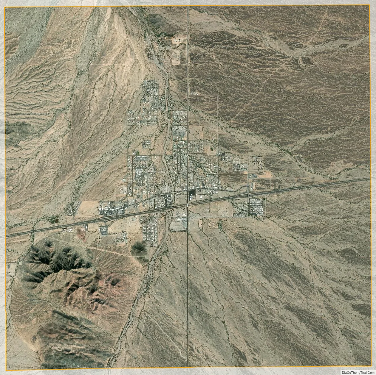
Geography
According to the United States Census Bureau Quartzsite is all land and has a total area of 36.3 sq mi (94.0 km).
Quartzsite lies on the western portion of the La Posa Plain along Tyson Wash. The Dome Rock Mountains overlook the town on the west with Granite Mountain on the southwest edge of the town and Oldman Mountain on the northwest. The Plomosa Mountains lie across the La Posa Plain to the east.
The town has a hot desert climate (Köppen BWh) with mild to warm winters from November to March and hot to extreme summers for the remainder of the year. In the middle of summer, Quartzsite is one of the hottest places in the United States and has recorded temperatures as high as 122 °F or 50.0 °C on 28 July 1995.
There is very little precipitation with only 4.58 inches (116.3 mm) falling during an average year, while in May and June more than 80 percent of years do not have measurable rainfall. Since records began in 1928 the wettest month has been September 1939 with 6.16 inches (156.5 mm) which was part of the wettest year with 11.05 inches (280.7 mm) and featuring on September 5 the wettest day with 3.00 inches (76.2 mm). This moisture was due to the remnants of a rare Gulf of California hurricane. The driest calendar year was 1928 with 0.92 inches (23.4 mm). However, between July 2001 and August 2002 as little as 0.45 inches (11.4 mm) fell over thirteen months.
See also
Map of Arizona State and its subdivision: Map of other states:- Alabama
- Alaska
- Arizona
- Arkansas
- California
- Colorado
- Connecticut
- Delaware
- District of Columbia
- Florida
- Georgia
- Hawaii
- Idaho
- Illinois
- Indiana
- Iowa
- Kansas
- Kentucky
- Louisiana
- Maine
- Maryland
- Massachusetts
- Michigan
- Minnesota
- Mississippi
- Missouri
- Montana
- Nebraska
- Nevada
- New Hampshire
- New Jersey
- New Mexico
- New York
- North Carolina
- North Dakota
- Ohio
- Oklahoma
- Oregon
- Pennsylvania
- Rhode Island
- South Carolina
- South Dakota
- Tennessee
- Texas
- Utah
- Vermont
- Virginia
- Washington
- West Virginia
- Wisconsin
- Wyoming