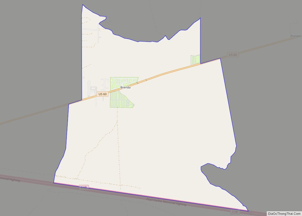
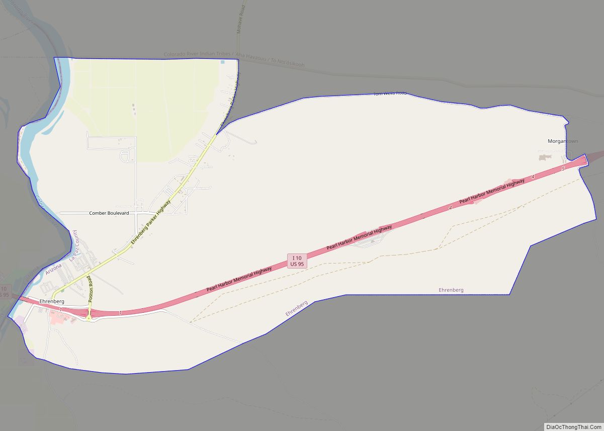
Ehrenberg, also historically spelled “Ehrenburg”, is an unincorporated community and census-designated place (CDP) in La Paz County, Arizona, United States. The population was 1,470 at the 2010 census. Ehrenberg is named for its founder, Herman Ehrenberg.
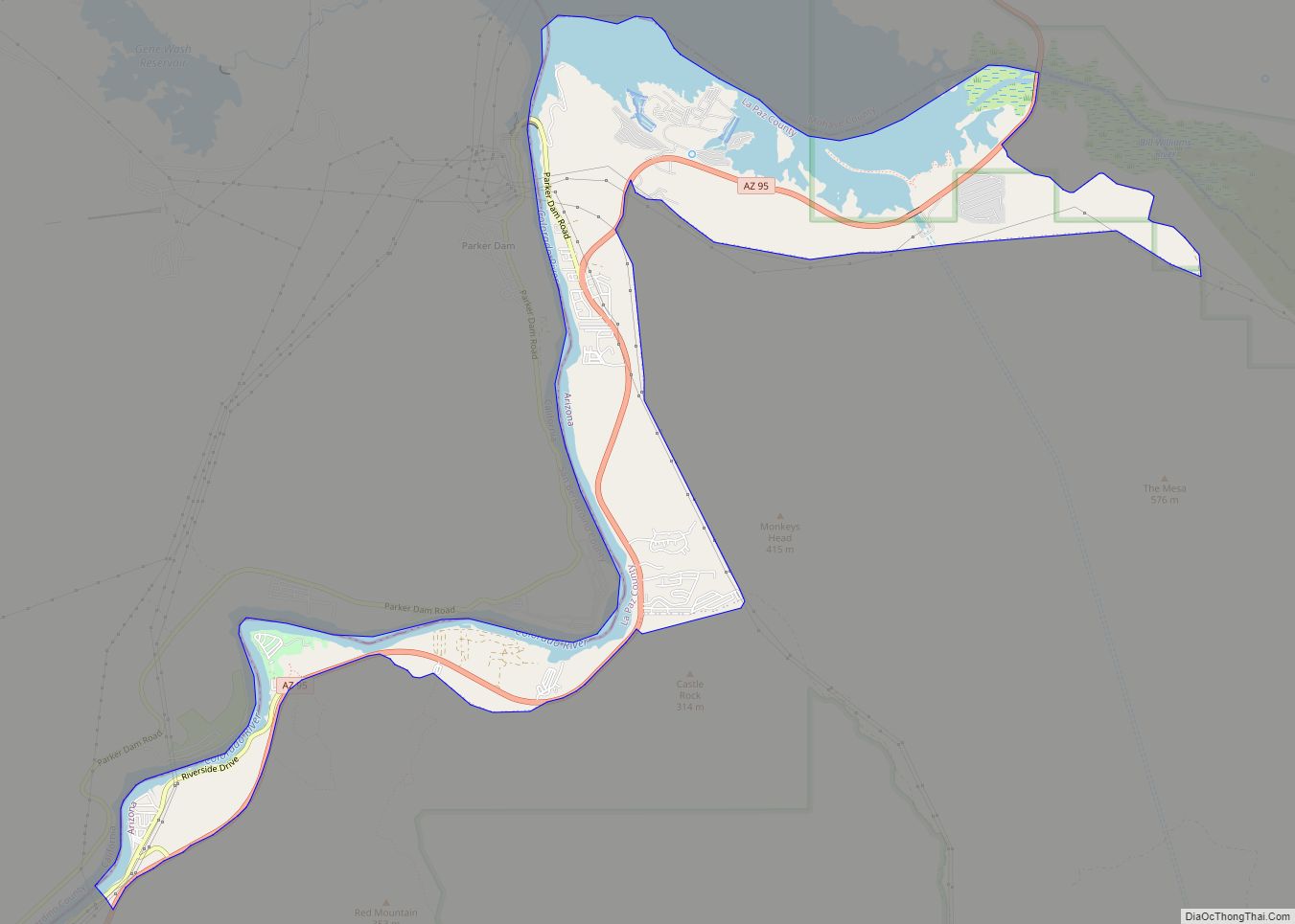
Ehrenberg is located on the Colorado River, which forms the border with Riverside County, California, near the city of Blythe. It is situated close to Interstate 10, at the southern end of the Parker Valley and next to the Palo Verde Valley.
| Name: | Ehrenberg CDP |
|---|---|
| LSAD Code: | 57 |
| LSAD Description: | CDP (suffix) |
| State: | Arizona |
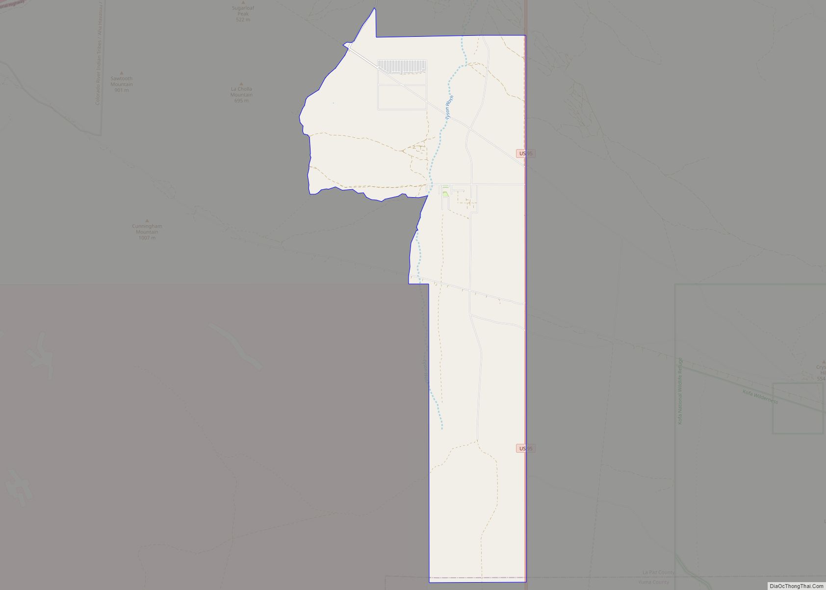
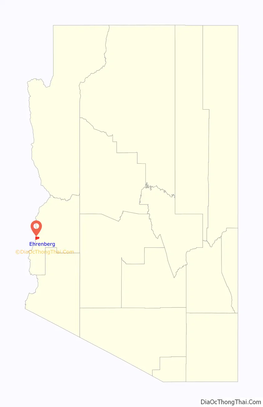
| County: | La Paz County |
| Elevation: | 305 ft (93 m) |
| Total Area: | 12.13 sq mi (31.43 km²) |
| Land Area: | 11.92 sq mi (30.88 km²) |
| Water Area: | 0.21 sq mi (0.54 km²) |
| Total Population: | 763 |
| Population Density: | 63.99/sq mi (24.71/km²) |
| ZIP code: | 85334 |
| Area code: | 928 |
| FIPS code: | 0421800 |
| GNISfeature ID: | 4361 |
Online Interactive Map
Click on ![]() to view map in "full screen" mode.
to view map in "full screen" mode.
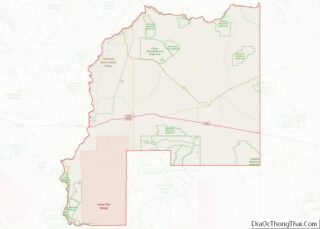
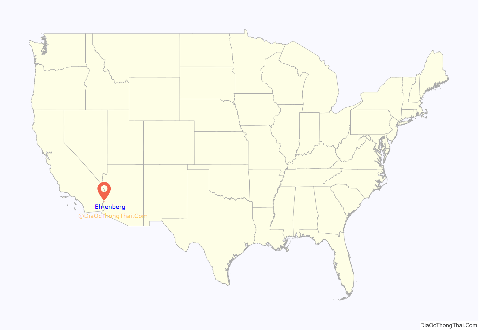
Ehrenberg location map. Where is Ehrenberg CDP?
History
In 1863, German mining engineer Herman Ehrenberg was hired to survey a new townsite along the Colorado River, approximately 6 miles (10 km) from La Paz, Arizona. The town, named Mineral City, began to grow in 1866, after a new landing was established there, supported by the steamboat captains of the George A. Johnson Company. Mineral City attracted miners and many businessmen away from La Paz and by September 20, 1869, had grown large enough to win a post office. The same year it was renamed “Ehrenberg”.
Over the next several years the town continued to grow, surpassing La Paz. By 1875 there were 500 residents. The population of La Paz dwindled, and many storekeepers relocated to Ehrenberg.
Around the start of the 20th century, railroads began to bypass the river as the major means of transporting goods. The town’s population declined, and it lost its post office on December 31, 1913.
Many of the surviving older buildings in town were torn down in the 1950s to make way for a trailer park.
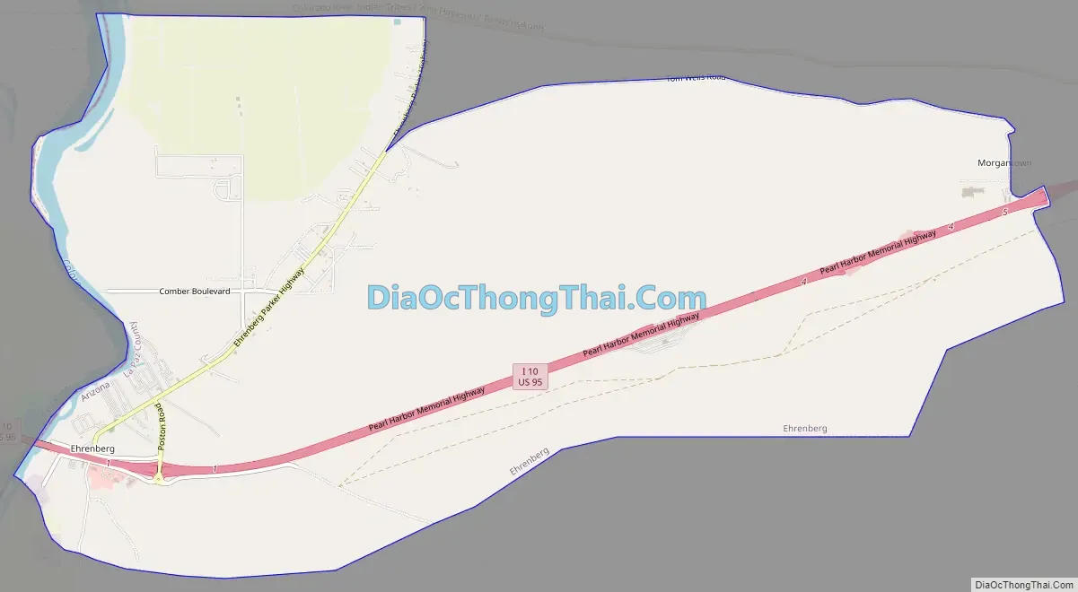
Ehrenberg Road Map
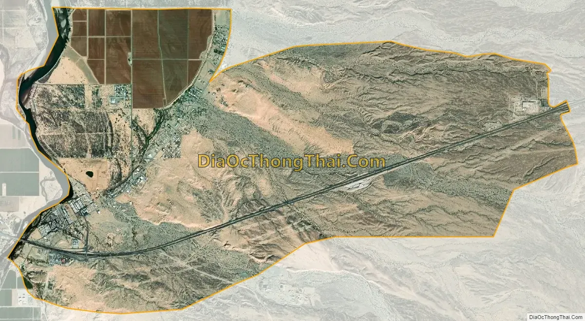
Ehrenberg city Satellite Map
Geography
Ehrenberg is located in western La Paz County at 33°36′53″N 114°30′53″W / 33.61472°N 114.51472°W / 33.61472; -114.51472 (33.614617, -114.514766). It is located on the Colorado River, that forms the border of Arizona and California. The community is along Interstate 10, which leads east 145 miles (233 km) to Phoenix and west 100 miles (160 km) to Indio, California.
According to the United States Census Bureau, the Ehrenberg CDP has a total area of 12.1 square miles (31.4 km), of which 11.9 square miles (30.9 km) are land and, or 1.78%, are water.
Climate
This area has a large amount of sunshine year round due to its stable descending air and high pressure. According to the Köppen Climate Classification system, Ehrenberg has a desert climate, abbreviated “Bwh” on climate maps.
See also
Map of Arizona State and its subdivision: Map of other states:- Alabama
- Alaska
- Arizona
- Arkansas
- California
- Colorado
- Connecticut
- Delaware
- District of Columbia
- Florida
- Georgia
- Hawaii
- Idaho
- Illinois
- Indiana
- Iowa
- Kansas
- Kentucky
- Louisiana
- Maine
- Maryland
- Massachusetts
- Michigan
- Minnesota
- Mississippi
- Missouri
- Montana
- Nebraska
- Nevada
- New Hampshire
- New Jersey
- New Mexico
- New York
- North Carolina
- North Dakota
- Ohio
- Oklahoma
- Oregon
- Pennsylvania
- Rhode Island
- South Carolina
- South Dakota
- Tennessee
- Texas
- Utah
- Vermont
- Virginia
- Washington
- West Virginia
- Wisconsin
- Wyoming