Salome (locally /səˈloʊm/, Tolkepaya Yavapai: Wiltaika) is an unincorporated community and census-designated place (CDP) in La Paz County, Arizona, United States. The population was 1,530 at the 2010 census. It was established in 1904 by Dick Wick Hall, Ernest Hall and Charles Pratt, and was named after Pratt’s wife, Grace Salome Pratt.
| Name: | Salome CDP |
|---|---|
| LSAD Code: | 57 |
| LSAD Description: | CDP (suffix) |
| State: | Arizona |
| County: | La Paz County |
| Elevation: | 1,873 ft (571 m) |
| Total Area: | 33.33 sq mi (86.31 km²) |
| Land Area: | 33.33 sq mi (86.31 km²) |
| Water Area: | 0.00 sq mi (0.00 km²) |
| Total Population: | 1,162 |
| Population Density: | 34.87/sq mi (13.46/km²) |
| ZIP code: | 85348 |
| Area code: | 928 |
| FIPS code: | 0462700 |
| GNISfeature ID: | 10736 |
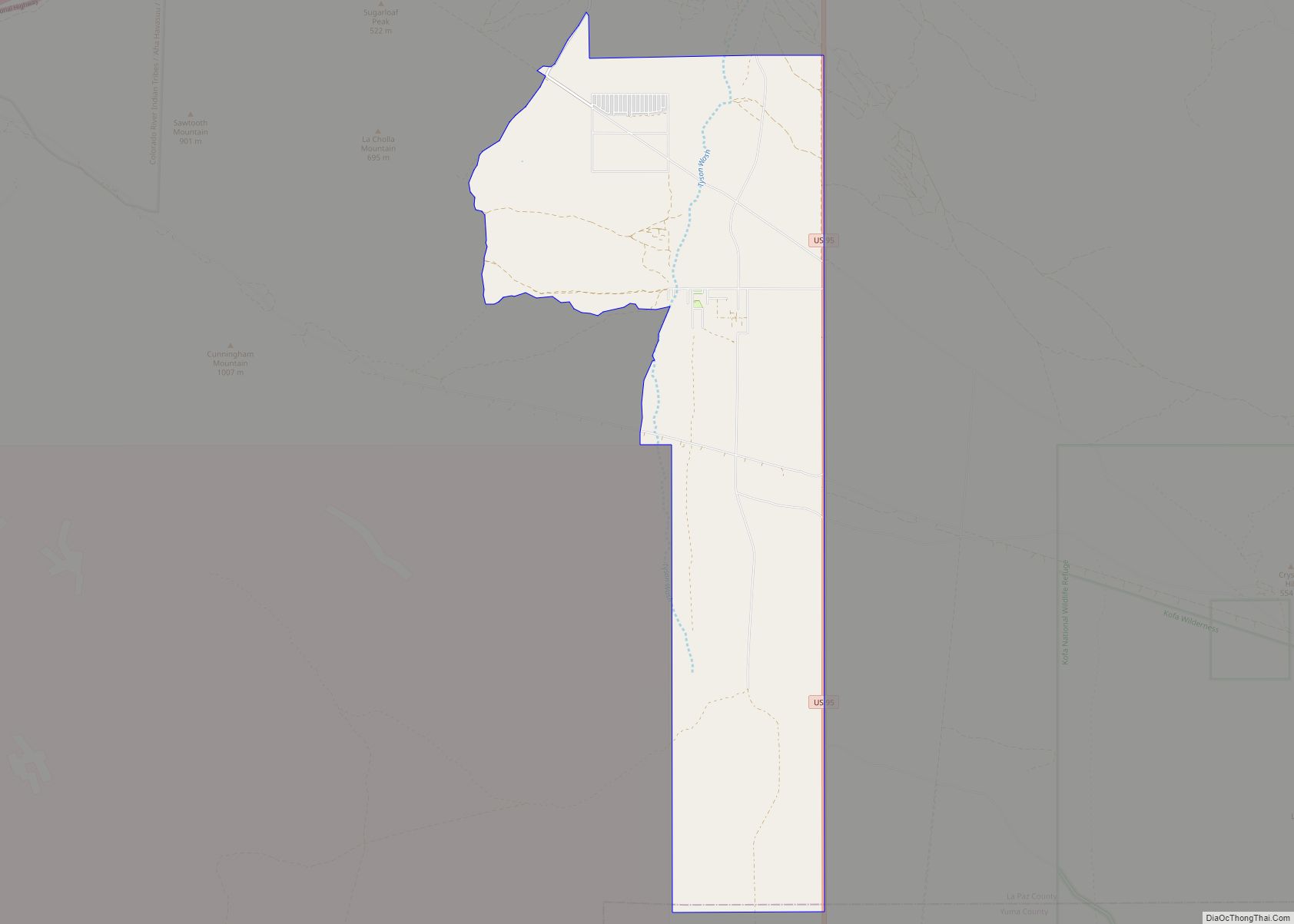
Online Interactive Map
Click on ![]() to view map in "full screen" mode.
to view map in "full screen" mode.
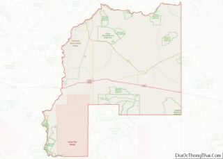
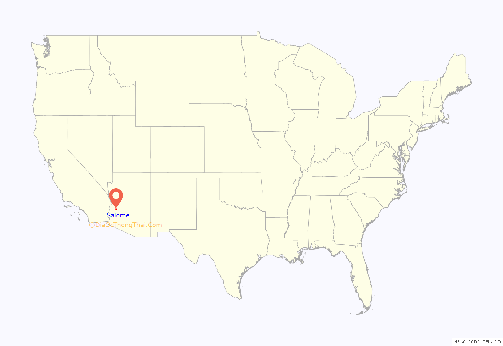
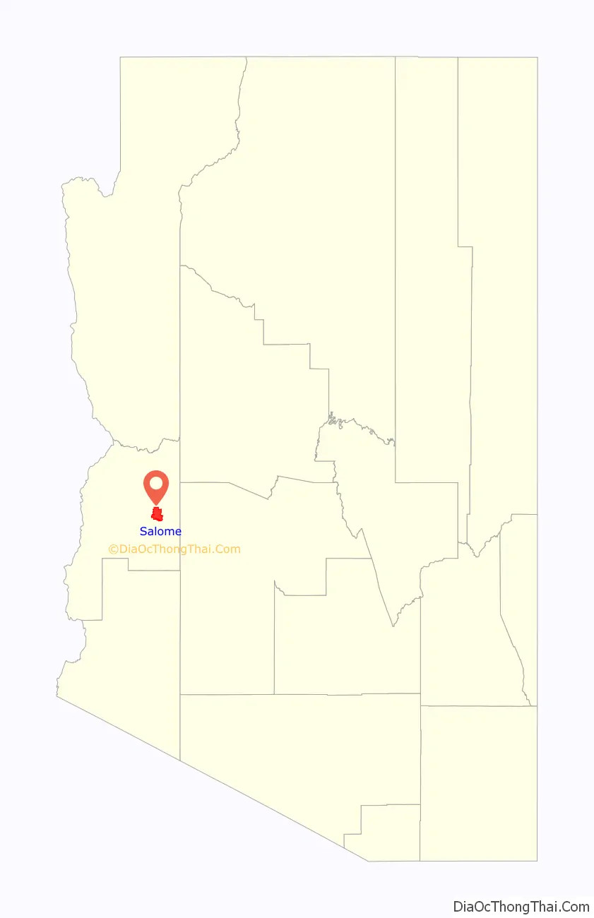
Salome location map. Where is Salome CDP?
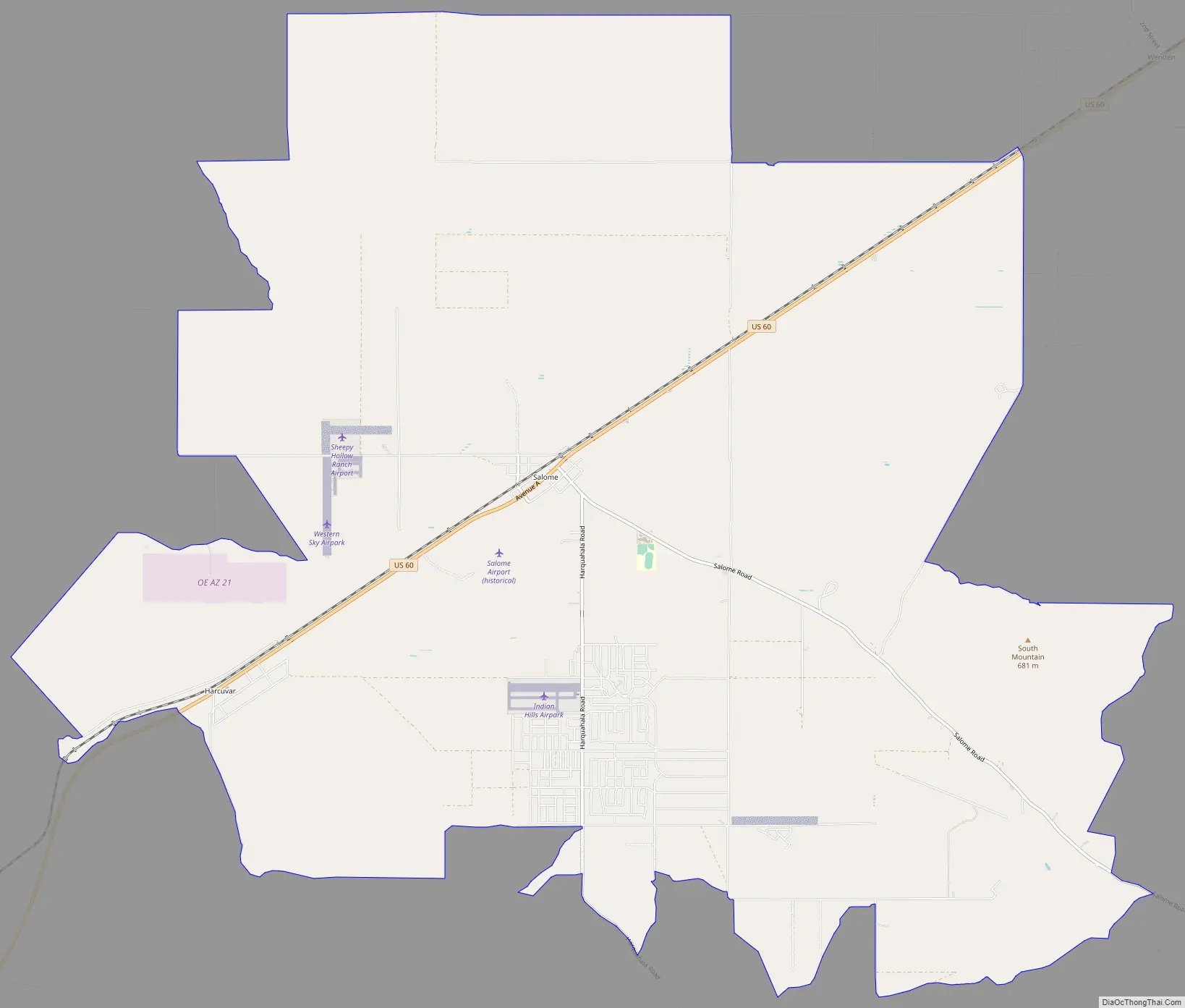
Salome Road Map
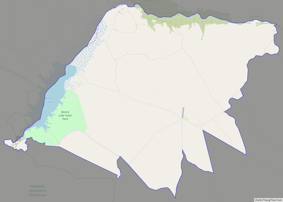
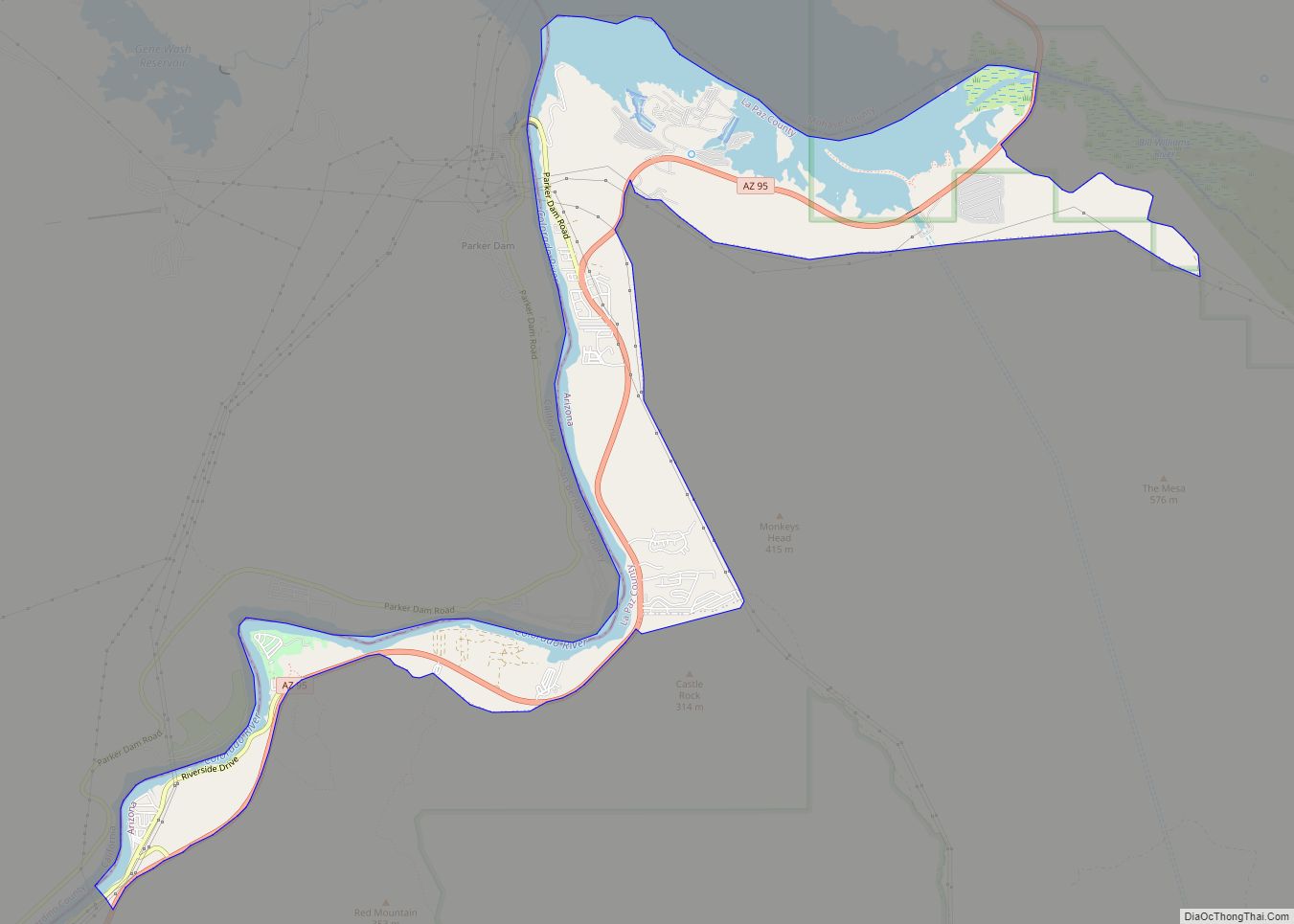
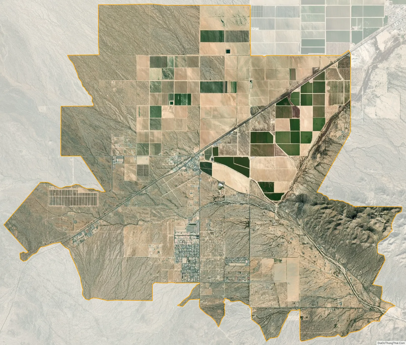
Salome city Satellite Map
Geography
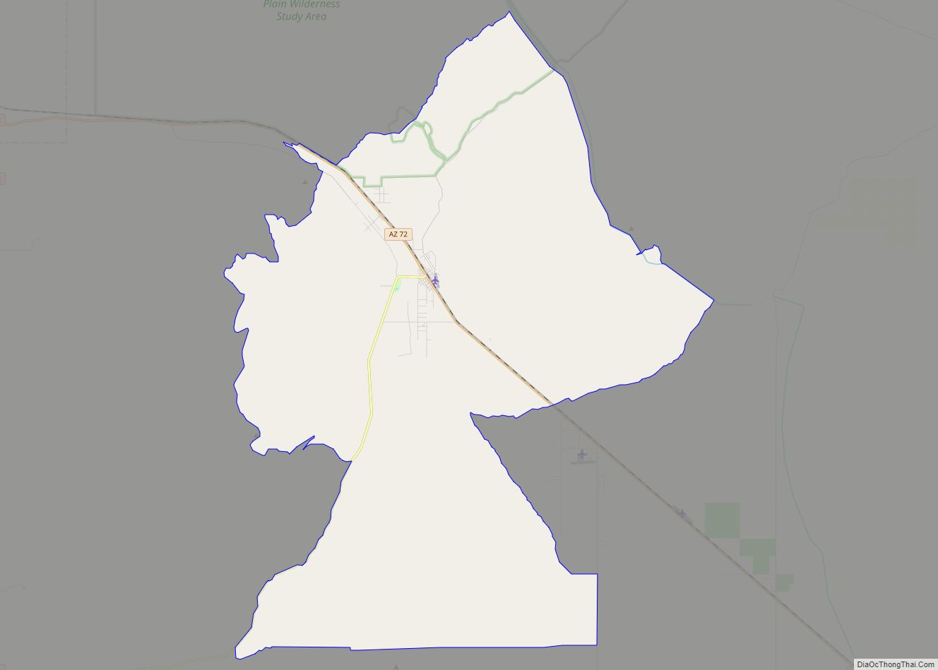
Salome is located in eastern La Paz County at 33°45′49″N 113°36′31″W / 33.76361°N 113.60861°W / 33.76361; -113.60861 (33.763728, -113.608555). U.S. Route 60 runs through the community, leading east 54 miles (87 km) to Wickenburg and west 25 miles (40 km) to Interstate 10 between Brenda and Quartzsite.
According to the United States Census Bureau, the Salome CDP has a total area of 33.3 square miles (86.3 km), all land.
Southwest of central Salome is Harcuvar, (Mohave name implying ‘there is little sweet water’) which has a Kampgrounds of America and RV park.
See also
Map of Arizona State and its subdivision: Map of other states:- Alabama
- Alaska
- Arizona
- Arkansas
- California
- Colorado
- Connecticut
- Delaware
- District of Columbia
- Florida
- Georgia
- Hawaii
- Idaho
- Illinois
- Indiana
- Iowa
- Kansas
- Kentucky
- Louisiana
- Maine
- Maryland
- Massachusetts
- Michigan
- Minnesota
- Mississippi
- Missouri
- Montana
- Nebraska
- Nevada
- New Hampshire
- New Jersey
- New Mexico
- New York
- North Carolina
- North Dakota
- Ohio
- Oklahoma
- Oregon
- Pennsylvania
- Rhode Island
- South Carolina
- South Dakota
- Tennessee
- Texas
- Utah
- Vermont
- Virginia
- Washington
- West Virginia
- Wisconsin
- Wyoming