Sells (O’odham: Komkcʼeḍ ʼe-Wa:ʼosidk) is an unincorporated community and census-designated place (CDP) in Pima County, Arizona, United States. The population was 2,799 at the 2000 census. It is the capital of the Tohono O’odham Nation and the home of several of their tribal businesses, such as Tohono O’Odham Ki:Ki Association. Originally named Indian Oasis, by cattle-ranchers/businessmen brothers, Joseph and Louis Ménager in 1912. The Ménager brothers also built and ran the Indian Oasis Mercantile Store. The settlement took its present English name in 1918 to honor Indian Commissioner Cato Sells. The O’odham name means “Tortoise Got Wedged”.
Sells is near the Kitt Peak National Observatory.
| Name: | Sells CDP |
|---|---|
| LSAD Code: | 57 |
| LSAD Description: | CDP (suffix) |
| State: | Arizona |
| County: | Pima County |
| Elevation: | 2,392 ft (729 m) |
| Total Area: | 9.24 sq mi (23.94 km²) |
| Land Area: | 9.23 sq mi (23.92 km²) |
| Water Area: | 0.01 sq mi (0.02 km²) |
| Total Population: | 2,121 |
| Population Density: | 229.69/sq mi (88.68/km²) |
| ZIP code: | 85634 |
| Area code: | 520 |
| FIPS code: | 0465490 |
| GNISfeature ID: | 11073 |
Online Interactive Map
Click on ![]() to view map in "full screen" mode.
to view map in "full screen" mode.
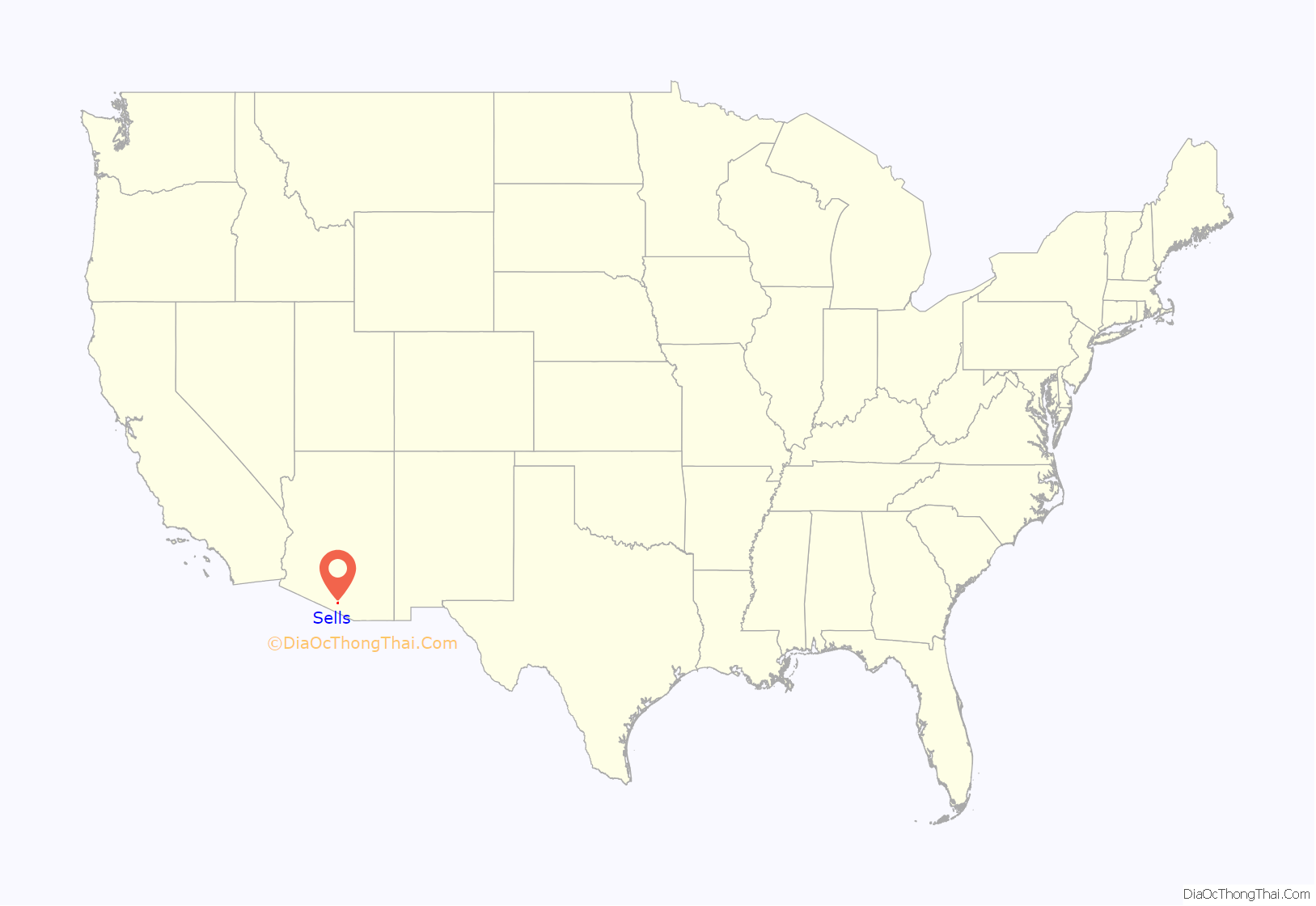
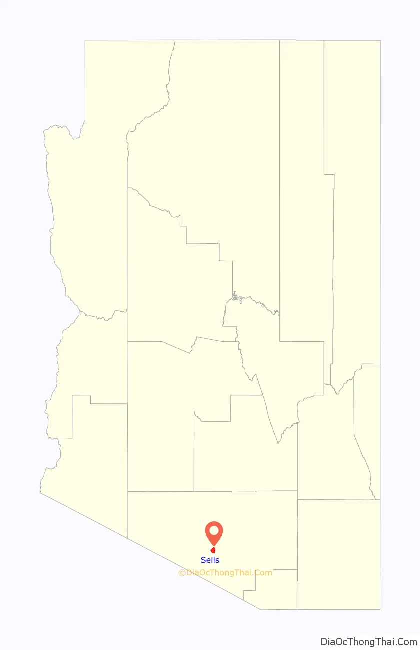
Sells location map. Where is Sells CDP?
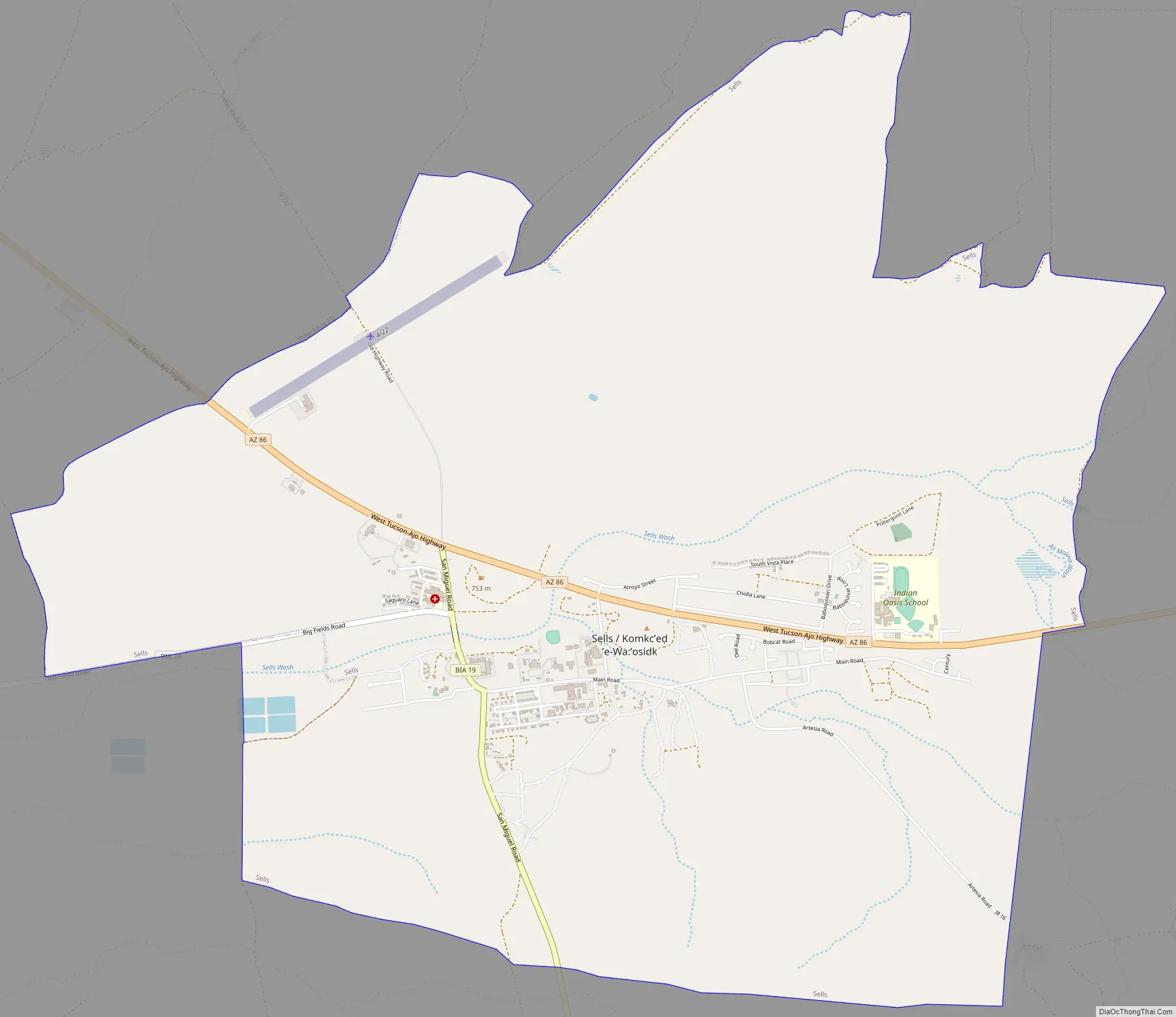
Sells Road Map
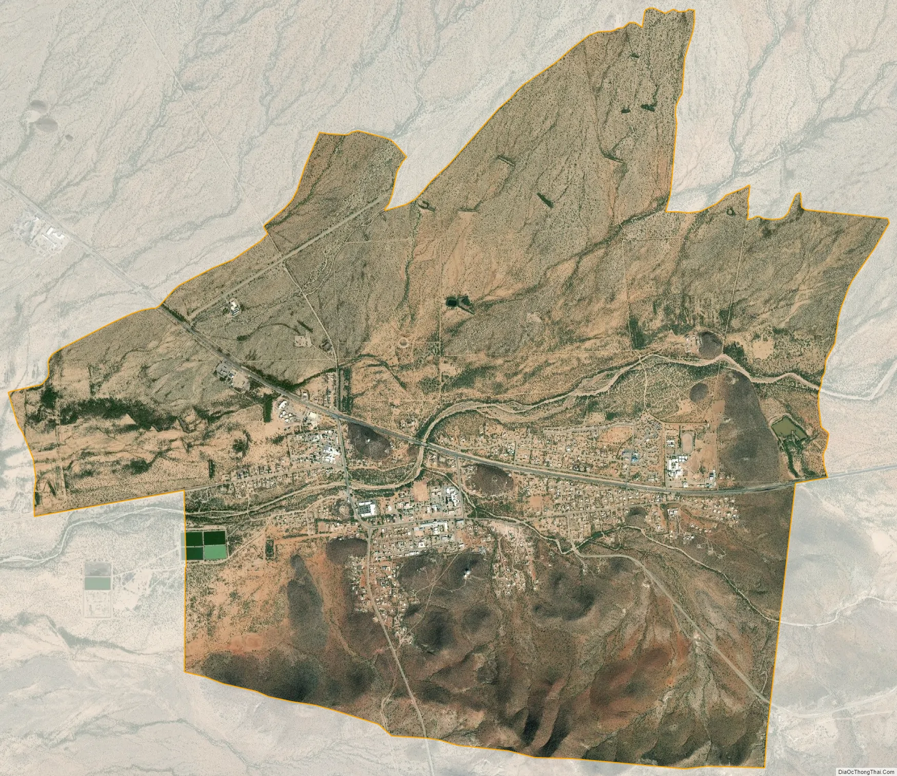
Sells city Satellite Map
Geography
Sells is located at 31°54′54″N 111°52′32″W / 31.91500°N 111.87556°W / 31.91500; -111.87556 (31.914994, -111.875669).
According to the United States Census Bureau, the CDP has a total area of 9.4 square miles (24 km), of which 9.4 square miles (24 km) is land and 0.11% is water.
See also
Map of Arizona State and its subdivision: Map of other states:- Alabama
- Alaska
- Arizona
- Arkansas
- California
- Colorado
- Connecticut
- Delaware
- District of Columbia
- Florida
- Georgia
- Hawaii
- Idaho
- Illinois
- Indiana
- Iowa
- Kansas
- Kentucky
- Louisiana
- Maine
- Maryland
- Massachusetts
- Michigan
- Minnesota
- Mississippi
- Missouri
- Montana
- Nebraska
- Nevada
- New Hampshire
- New Jersey
- New Mexico
- New York
- North Carolina
- North Dakota
- Ohio
- Oklahoma
- Oregon
- Pennsylvania
- Rhode Island
- South Carolina
- South Dakota
- Tennessee
- Texas
- Utah
- Vermont
- Virginia
- Washington
- West Virginia
- Wisconsin
- Wyoming


