Six Shooter Canyon is a census-designated place (CDP) in Gila County, Arizona, United States. The population was 1,019 at the 2010 census.
| Name: | Six Shooter Canyon CDP |
|---|---|
| LSAD Code: | 57 |
| LSAD Description: | CDP (suffix) |
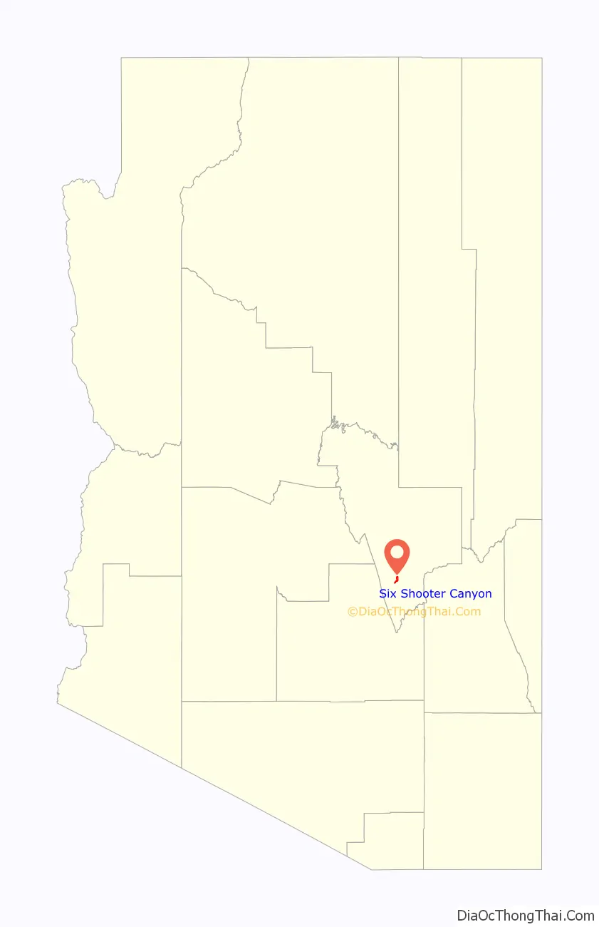
| State: | Arizona |
| County: | Gila County |
| Elevation: | 3,740 ft (1,140 m) |
| Total Area: | 2.96 sq mi (7.67 km²) |
| Land Area: | 2.96 sq mi (7.67 km²) |
| Water Area: | 0.00 sq mi (0.00 km²) |
| Total Population: | 958 |
| Population Density: | 323.65/sq mi (124.98/km²) |
| ZIP code: | 85501 |
| Area code: | 928 |
| FIPS code: | 0467295 |
| GNISfeature ID: | 2582866 |
Online Interactive Map
Click on ![]() to view map in "full screen" mode.
to view map in "full screen" mode.
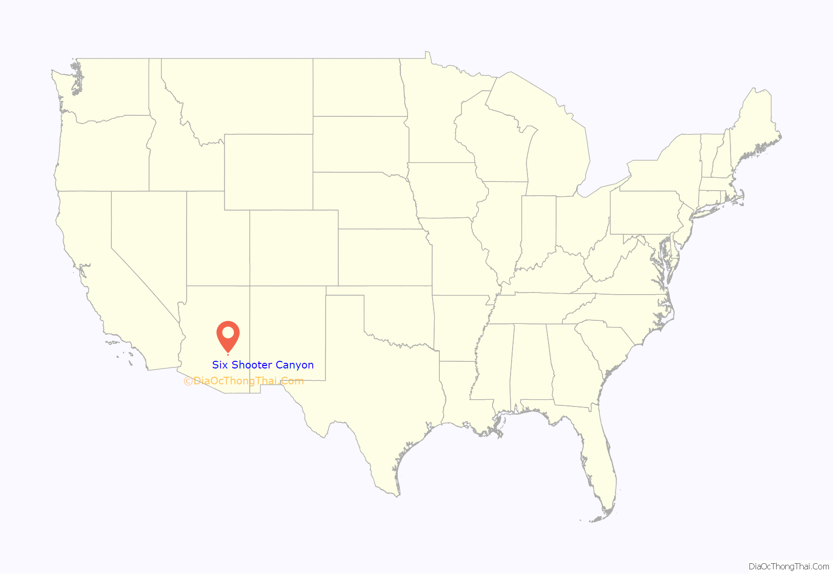
Six Shooter Canyon location map. Where is Six Shooter Canyon CDP?
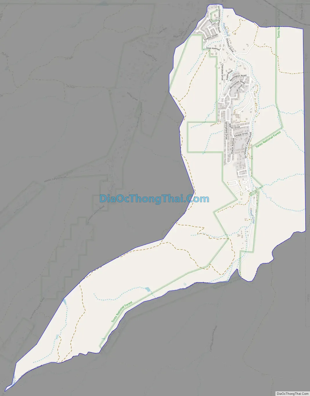
Six Shooter Canyon Road Map
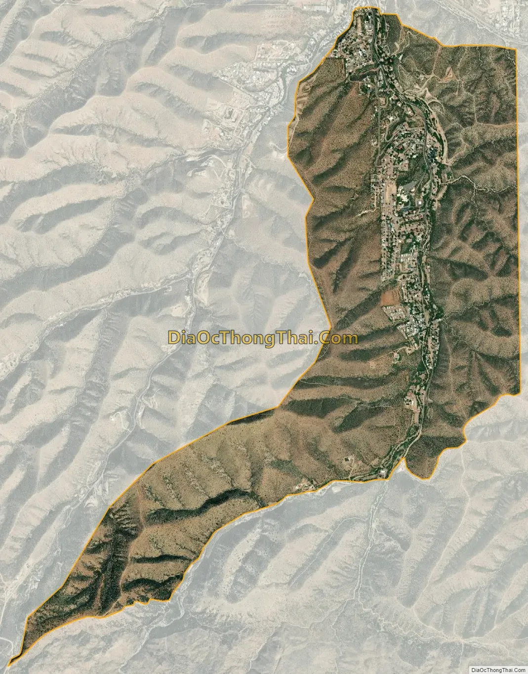
Six Shooter Canyon city Satellite Map
Geography
The CDP is located in southern Gila County, just south of the city of Globe. It is bordered to the west by the Icehouse Canyon CDP, to the north by Pinal, and to the east by an outer part of the city of Globe. Six Shooter Canyon is drained by Pinal Creek, which flows north through the center of Globe and eventually to the Salt River near Theodore Roosevelt Lake. According to the United States Census Bureau, the CDP has a total area of 2.92 square miles (7.55 km), all land.
Six Shooter Canyon is the location of the Gila Pueblo campus of Eastern Arizona College.
See also
Map of Arizona State and its subdivision: Map of other states:- Alabama
- Alaska
- Arizona
- Arkansas
- California
- Colorado
- Connecticut
- Delaware
- District of Columbia
- Florida
- Georgia
- Hawaii
- Idaho
- Illinois
- Indiana
- Iowa
- Kansas
- Kentucky
- Louisiana
- Maine
- Maryland
- Massachusetts
- Michigan
- Minnesota
- Mississippi
- Missouri
- Montana
- Nebraska
- Nevada
- New Hampshire
- New Jersey
- New Mexico
- New York
- North Carolina
- North Dakota
- Ohio
- Oklahoma
- Oregon
- Pennsylvania
- Rhode Island
- South Carolina
- South Dakota
- Tennessee
- Texas
- Utah
- Vermont
- Virginia
- Washington
- West Virginia
- Wisconsin
- Wyoming


