Sonoita (/səˈnɔɪ.tə/; O’odham: Ṣon ʼOidag) is a census-designated place (CDP) in Santa Cruz County, Arizona, United States. The population was 818 at the 2010 census.
The origin of the name of the CDP is the O’odham Ṣon ʼOidag, which may be best translated as “spring field”.
| Name: | Sonoita CDP |
|---|---|
| LSAD Code: | 57 |
| LSAD Description: | CDP (suffix) |
| State: | Arizona |
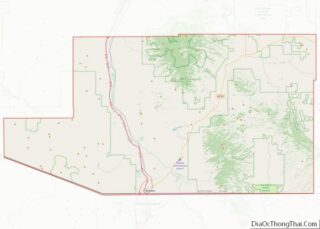
| County: | Santa Cruz County |
| Elevation: | 4,885 ft (1,489 m) |
| Total Area: | 10.64 sq mi (27.56 km²) |
| Land Area: | 10.64 sq mi (27.55 km²) |
| Water Area: | 0.01 sq mi (0.01 km²) |
| Total Population: | 803 |
| Population Density: | 75.48/sq mi (29.14/km²) |
| ZIP code: | 85637 |
| Area code: | 520 |
| FIPS code: | 0468220 |
| GNISfeature ID: | 34635 |
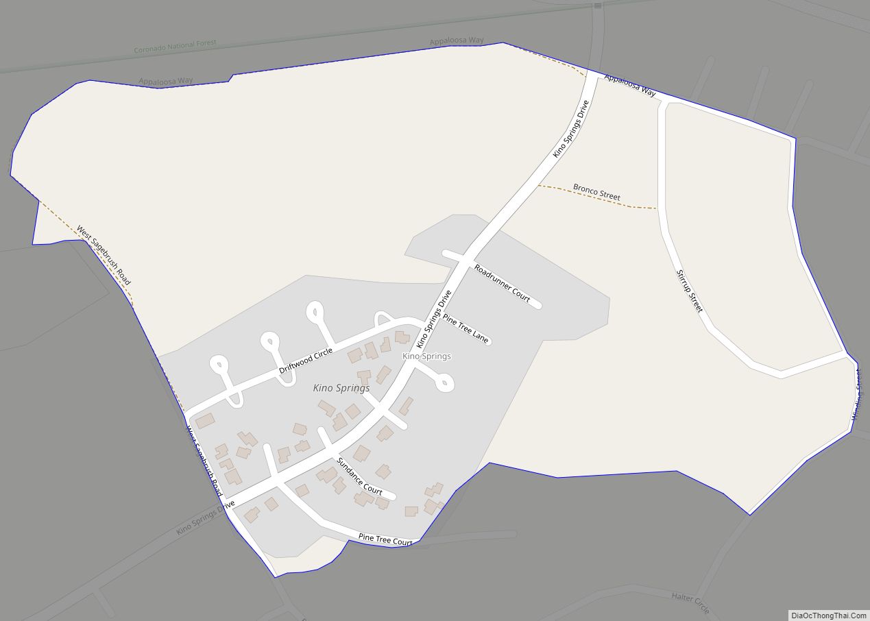
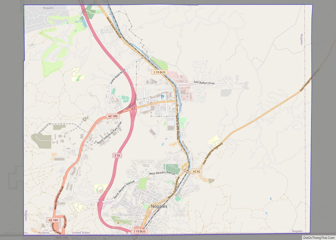
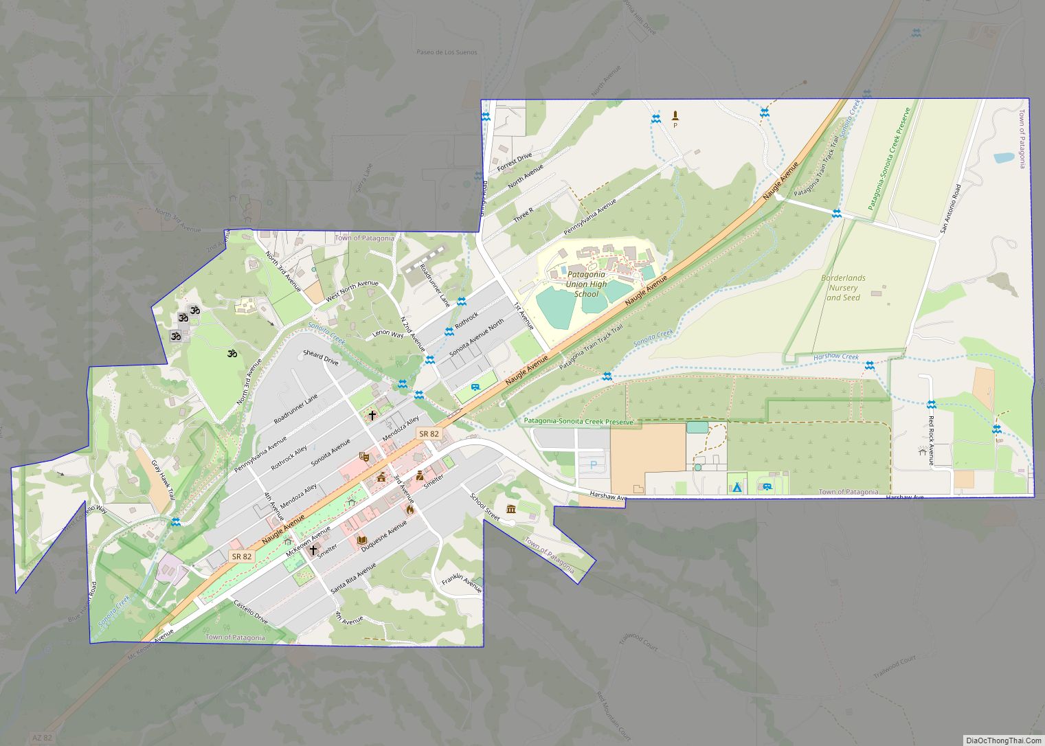
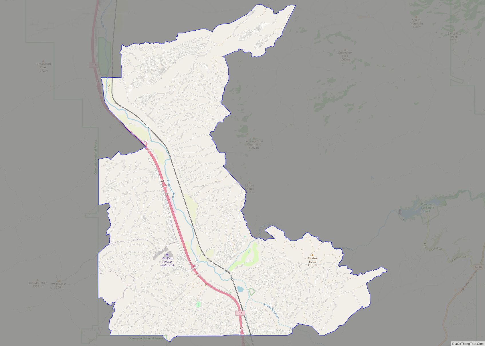
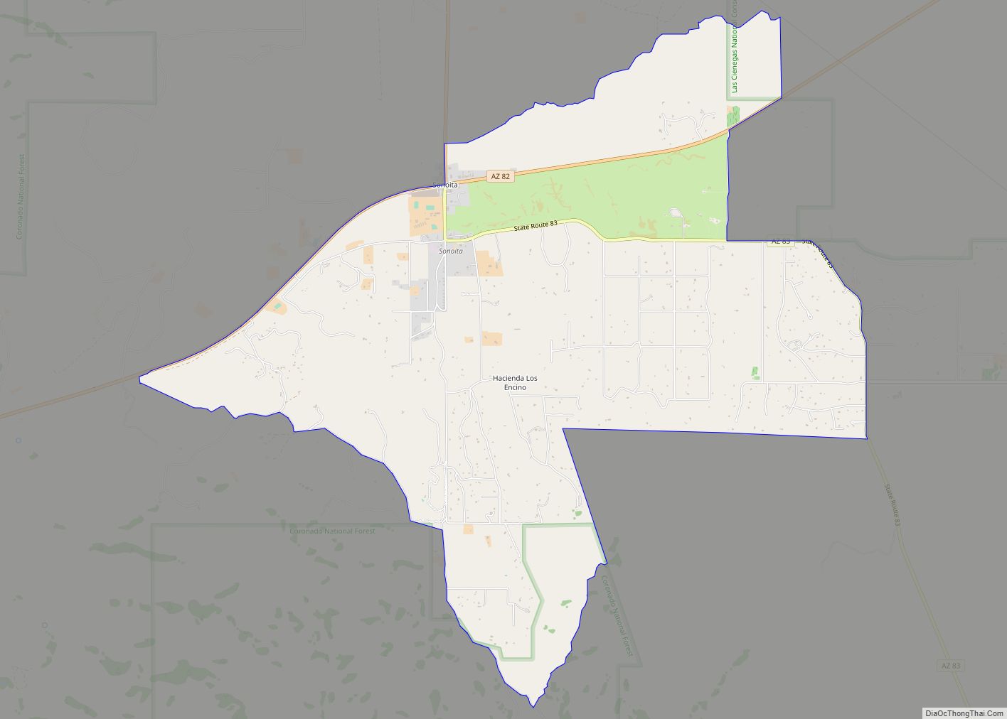
Online Interactive Map
Click on ![]() to view map in "full screen" mode.
to view map in "full screen" mode.
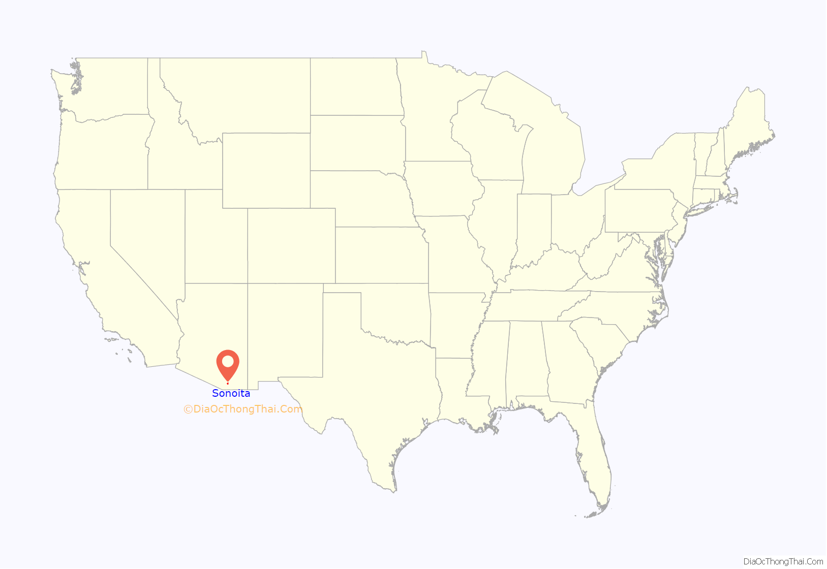
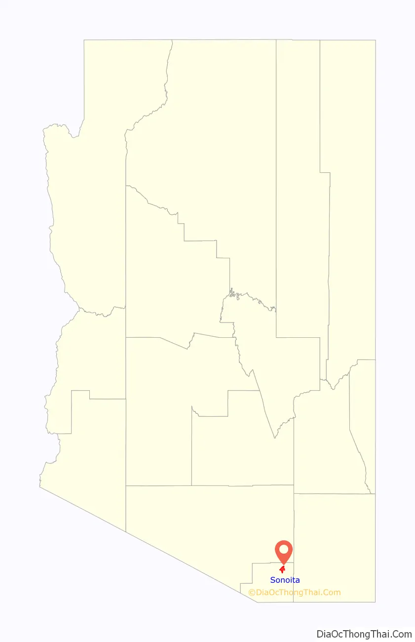
Sonoita location map. Where is Sonoita CDP?
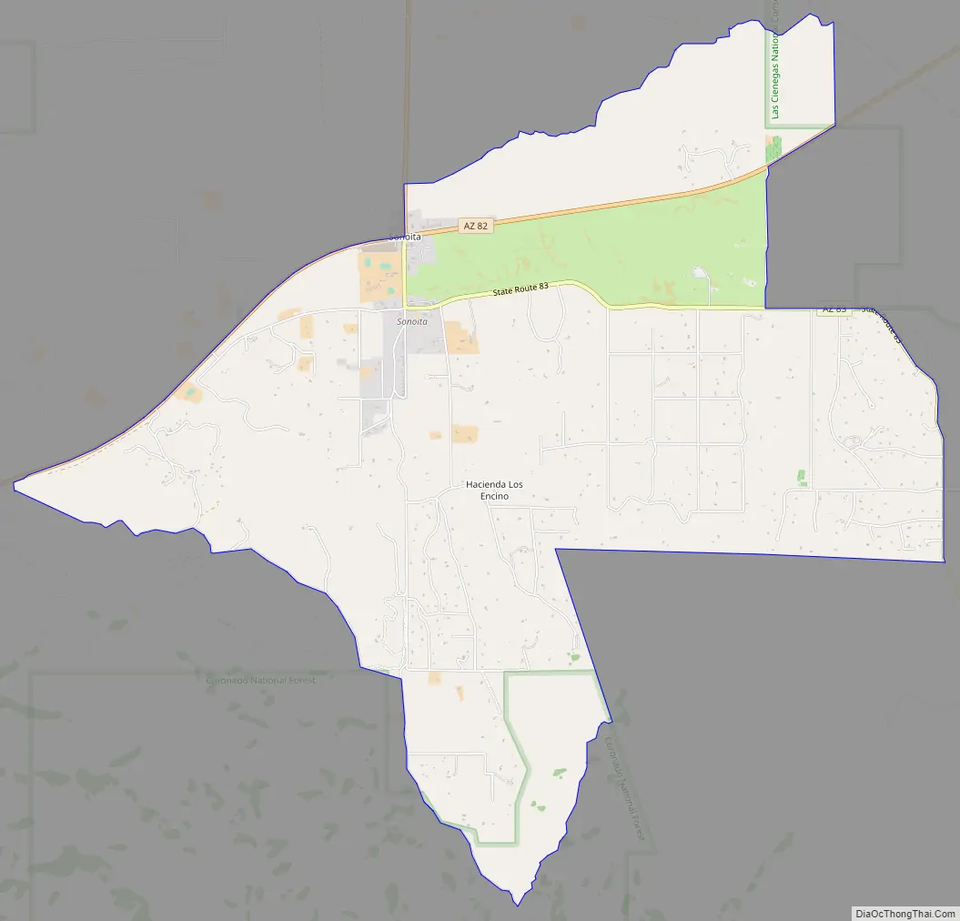
Sonoita Road Map
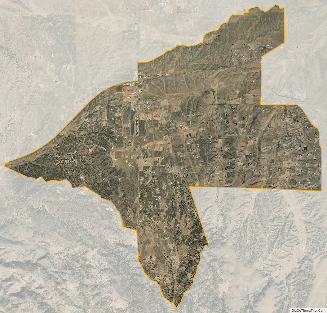
Sonoita city Satellite Map
Geography
Sonoita is located in northern Santa Cruz County. The community is at the intersection of Arizona State Route 83 and Arizona State Route 82. The Santa Rita Mountains and the Canelo Hills lie to the west and southwest respectively. The headwaters of Sonoita Creek are just west of the site.
Historic Fort Crittenden and Fort Buchanan lie approximately four miles west of Sonoita, just north of Sonoita Creek and Route 82.
According to the United States Census Bureau, the CDP has a total area of 10.5 square miles (27.3 km), all land.
See also
Map of Arizona State and its subdivision: Map of other states:- Alabama
- Alaska
- Arizona
- Arkansas
- California
- Colorado
- Connecticut
- Delaware
- District of Columbia
- Florida
- Georgia
- Hawaii
- Idaho
- Illinois
- Indiana
- Iowa
- Kansas
- Kentucky
- Louisiana
- Maine
- Maryland
- Massachusetts
- Michigan
- Minnesota
- Mississippi
- Missouri
- Montana
- Nebraska
- Nevada
- New Hampshire
- New Jersey
- New Mexico
- New York
- North Carolina
- North Dakota
- Ohio
- Oklahoma
- Oregon
- Pennsylvania
- Rhode Island
- South Carolina
- South Dakota
- Tennessee
- Texas
- Utah
- Vermont
- Virginia
- Washington
- West Virginia
- Wisconsin
- Wyoming