South Tucson is a city in Pima County, Arizona, United States and an enclave of the much larger city of Tucson. South Tucson is known for being heavily influenced by Hispanic, and especially Mexican, culture; restaurants and shops which sell traditional Mexican food and other goods can be found throughout the city. According to the 2010 census, the population of the city is 5,652.
| Name: | South Tucson city |
|---|---|
| LSAD Code: | 25 |
| LSAD Description: | city (suffix) |
| State: | Arizona |
| County: | Pima County |
| Incorporated: | August 10, 1936 |
| Elevation: | 2,425 ft (739 m) |
| Total Area: | 1.03 sq mi (2.66 km²) |
| Land Area: | 1.03 sq mi (2.66 km²) |
| Water Area: | 0.00 sq mi (0.00 km²) |
| Total Population: | 4,613 |
| Population Density: | 4,491.72/sq mi (1,734.42/km²) |
| ZIP code: | 85713 |
| Area code: | 520 |
| FIPS code: | 0468850 |
| GNISfeature ID: | 11648 |
| Website: | http://www.southtucsonaz.gov/ |
Online Interactive Map
Click on ![]() to view map in "full screen" mode.
to view map in "full screen" mode.
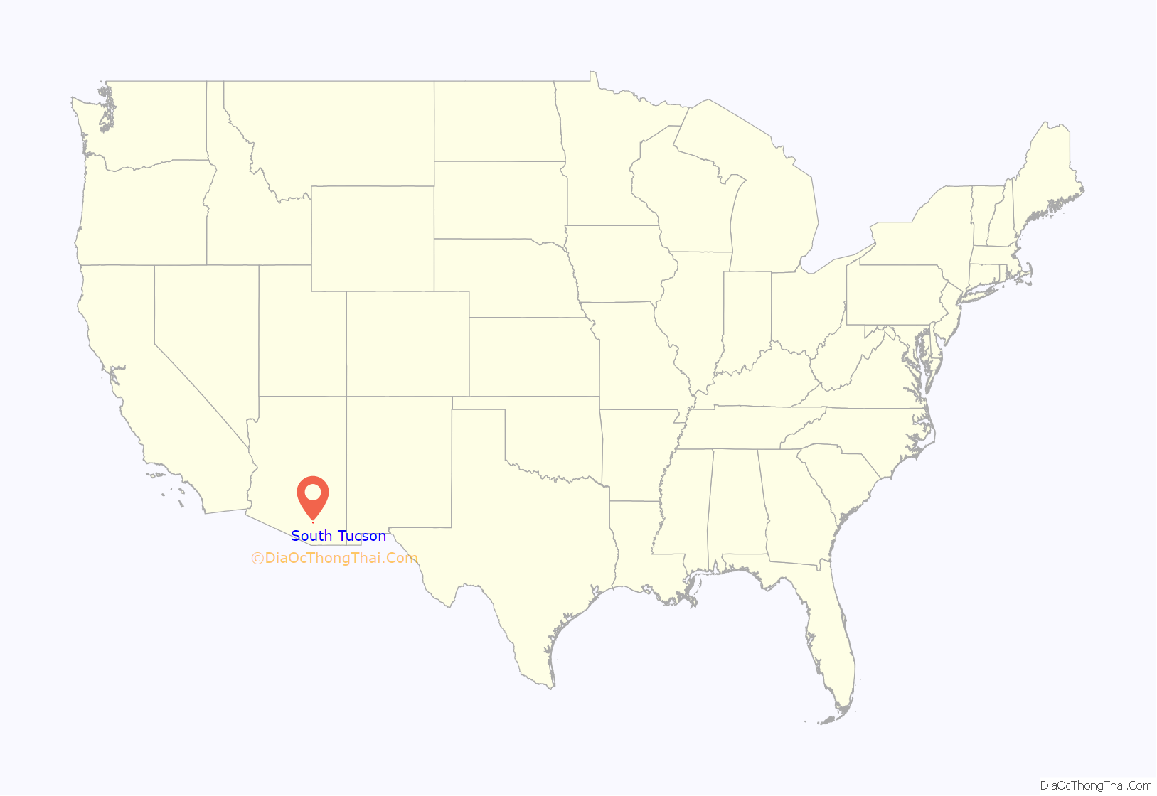
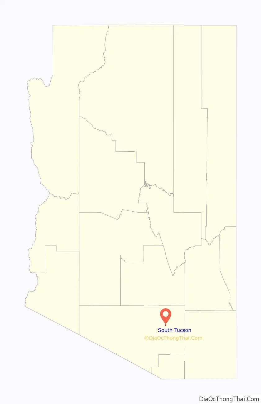
South Tucson location map. Where is South Tucson city?
History
In 1936, Tucson officials took steps to expand Tucson’s boundaries by moving to annex the unincorporated area along south Sixth Avenue from 25th Street south to the Veterans Hospital, which was south of Tucson city limits. Area auto court and other property owners on south Sixth Avenue objected, as they did not want to pay the higher business taxes imposed by Tucson or be subject to Tucson’s building codes. As a recourse to prevent the annexation, south Sixth Avenue property owners submitted a petition to the Pima County Board of Supervisors asking for an incorporation election. On August 10, 1936, South Tucson residents voted 52 to 35 in favor of incorporation. In response, Tucson continued to require Tucson Water customers in South Tucson to obtain building permits from Tucson, or their water would be shut off. The South Tucson City Council responded by imposing a $500 annual franchise fee on Tucson Water, and the Tucson City Council retaliated by announcing that water service would be discontinued to South Tucson within 120 days. On January 18, 1938, 258 petition signatures from South Tucson residents were turned in to the Pima County Board of Supervisors, which dissolved South Tucson. Nonetheless, another incorporation drive was launched in South Tucson. On March 27, 1939, a second incorporation election was held and by a vote of 70 to 63, South Tucson was reincorporated.
In 1956, Tucson Mayor Hummel called for South Tucson to join Tucson. After that invitation went unanswered, the Tucson City Council held a surprise meeting and annexed land all around South Tucson. Later, in the 1990s, Tucson agreed to transfer to South Tucson a 25-acre slice of land between South Tucson and Interstate 10 as South Tucson reached its current city size.
South Tucson Road Map

South Tucson city Satellite Map

Geography
South Tucson is located at 32°11′46″N 110°58′8″W / 32.19611°N 110.96889°W / 32.19611; -110.96889 (32.196076, -110.968896). According to the United States Census Bureau, the city has a total area of 1.0 square mile (2.6 km), all land. The city is an enclave entirely surrounded by the much larger city of Tucson.
See also
Map of Arizona State and its subdivision: Map of other states:- Alabama
- Alaska
- Arizona
- Arkansas
- California
- Colorado
- Connecticut
- Delaware
- District of Columbia
- Florida
- Georgia
- Hawaii
- Idaho
- Illinois
- Indiana
- Iowa
- Kansas
- Kentucky
- Louisiana
- Maine
- Maryland
- Massachusetts
- Michigan
- Minnesota
- Mississippi
- Missouri
- Montana
- Nebraska
- Nevada
- New Hampshire
- New Jersey
- New Mexico
- New York
- North Carolina
- North Dakota
- Ohio
- Oklahoma
- Oregon
- Pennsylvania
- Rhode Island
- South Carolina
- South Dakota
- Tennessee
- Texas
- Utah
- Vermont
- Virginia
- Washington
- West Virginia
- Wisconsin
- Wyoming


