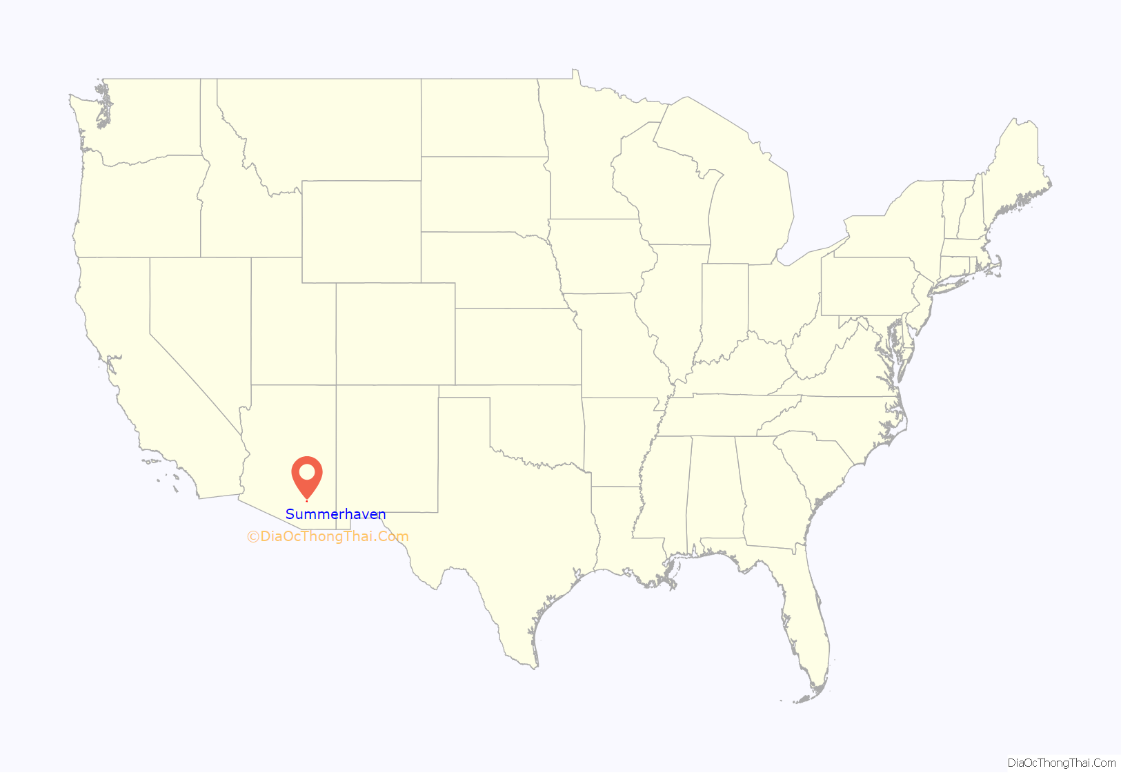
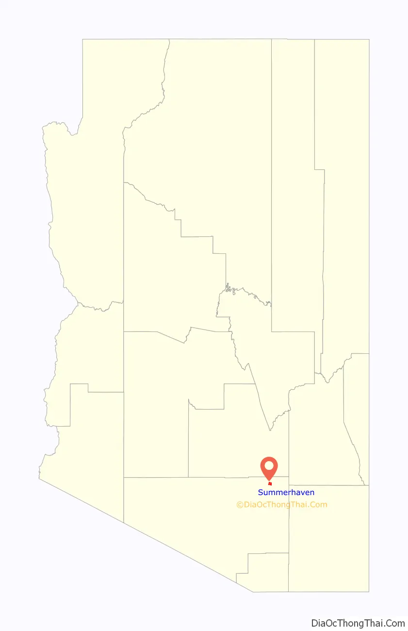
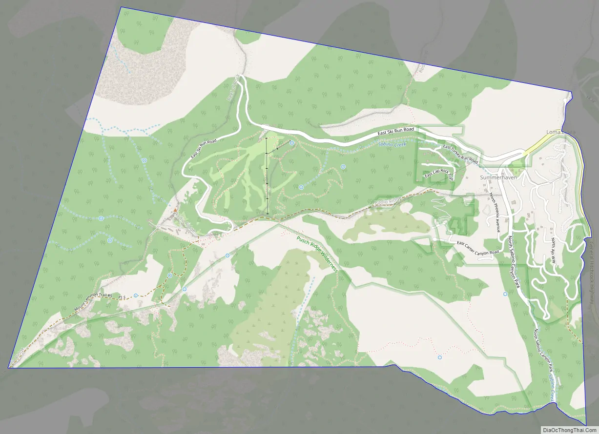
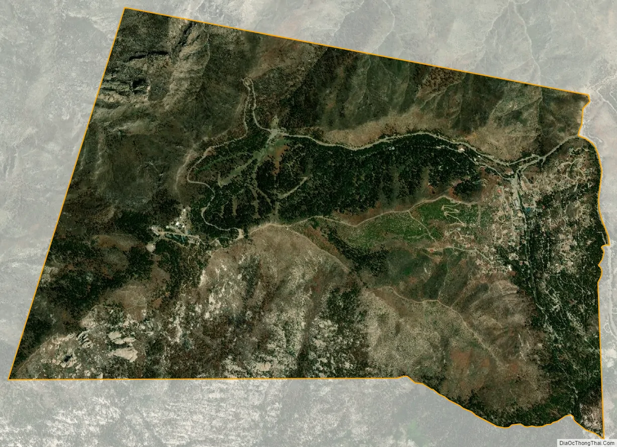
Summerhaven is a small unincorporated community and census-designated place (CDP) on Mount Lemmon in the Santa Catalina Mountains north of Tucson in Pima County, Arizona, United States. As of the 2010 census it had a permanent population of 40. Summerhaven sits at an elevation of approximately 7,600 to 8,200 feet (2,300 to 2,500 m) above sea level. Summerhaven is accessed via the Catalina Highway from suburban northeast Tucson, and it is about 24.5 miles (39.4 km) from the base of the mountains to Summerhaven.
| Name: | Summerhaven CDP |
|---|---|
| LSAD Code: | 57 |
| LSAD Description: | CDP (suffix) |
| State: | Arizona |
| County: | Pima County |
| Elevation: | 7,700 ft (2,300 m) |
| Total Area: | 4.60 sq mi (11.93 km²) |
| Land Area: | 4.60 sq mi (11.93 km²) |
| Water Area: | 0.00 sq mi (0.00 km²) |
| Total Population: | 71 |
| Population Density: | 15.42/sq mi (5.95/km²) |
| ZIP code: | 85619 |
| Area code: | 520 |
| FIPS code: | 0470175 |
| GNISfeature ID: | 34939 |
Online Interactive Map
Click on ![]() to view map in "full screen" mode.
to view map in "full screen" mode.
Summerhaven location map. Where is Summerhaven CDP?
History
White Anglo-Americans originally used the area of Summerhaven when the U.S. Army at Fort Lowell in Tucson put a military camp there in its defense against the Apache in the 1870s and 1880s. As to white settlement of the vicinity, the Ransier School in Carter Canyon, run by Lydia Ransier and ‘Auntie’ Broadbent, had two cabins, the larger log one being built in 1912, “one of the oldest cabins on the mountain.”
According to historian David Leighton, Summerhaven at one point had the highest golf links in the world. He wrote, “F.E.A Kimball (namesake of Mount Kimball), head of the Summerhaven Land and Improvement Co. on Mount Lemmon, constructed a six-hole golf links. The course was on 50 acres, a mix of Forest Service and private land, with two trout streams running through the acreage. The links were about 7,800 feet above sea level, making it the highest golf course in the world….”
Summerhaven Road Map
Summerhaven city Satellite Map
Geography
Summerhaven is located in the Santa Catalina Mountains and is surrounded by pine trees. According to the U.S. Census Bureau, the Summerhaven CDP has a total area of 4.6 sq mi (11.8 km), almost all land.
See also
Map of Arizona State and its subdivision: Map of other states:- Alabama
- Alaska
- Arizona
- Arkansas
- California
- Colorado
- Connecticut
- Delaware
- District of Columbia
- Florida
- Georgia
- Hawaii
- Idaho
- Illinois
- Indiana
- Iowa
- Kansas
- Kentucky
- Louisiana
- Maine
- Maryland
- Massachusetts
- Michigan
- Minnesota
- Mississippi
- Missouri
- Montana
- Nebraska
- Nevada
- New Hampshire
- New Jersey
- New Mexico
- New York
- North Carolina
- North Dakota
- Ohio
- Oklahoma
- Oregon
- Pennsylvania
- Rhode Island
- South Carolina
- South Dakota
- Tennessee
- Texas
- Utah
- Vermont
- Virginia
- Washington
- West Virginia
- Wisconsin
- Wyoming


